PCT 2018 Day 84, July 15, Sunday
Start mile 1966.5, tentsite
End mile 1996.5, pond
Miles walked: 30
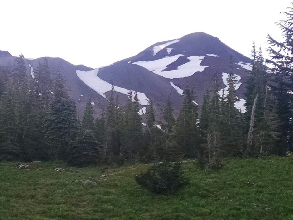
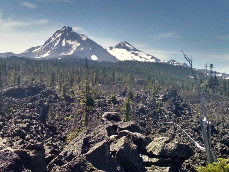
North Sister comes into view in the morning.
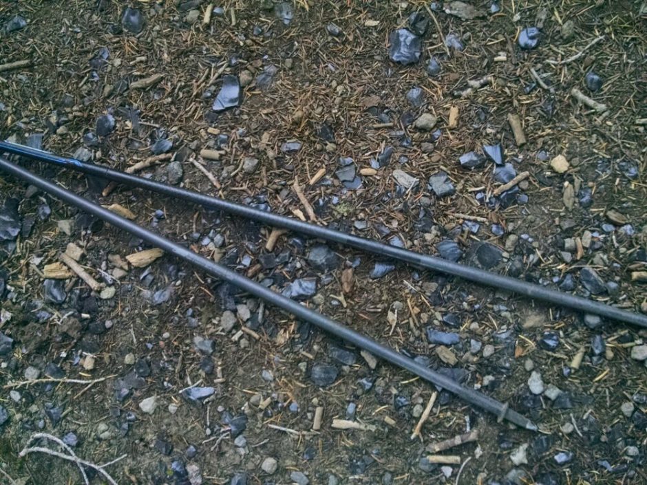
An Obsidian Limited Entry Area requires a permit for non-PCT hikers for a two mile segment of trail. Bits of obsidian are in the trail, and larger fist-size specimens are nearby.
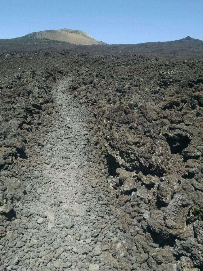
The trail goes over an area of lava rock. Unlike lava flows in New Mexico, where rock is melted together, these are separate lava rocks. Was the lava broken up by a glacier? Several named glaciers are nearby, not visible from the trail. Or did the lava get deposited by an explosion similar to Mount St Helens, instead of a liquid flow? Or was there some other mechanism?
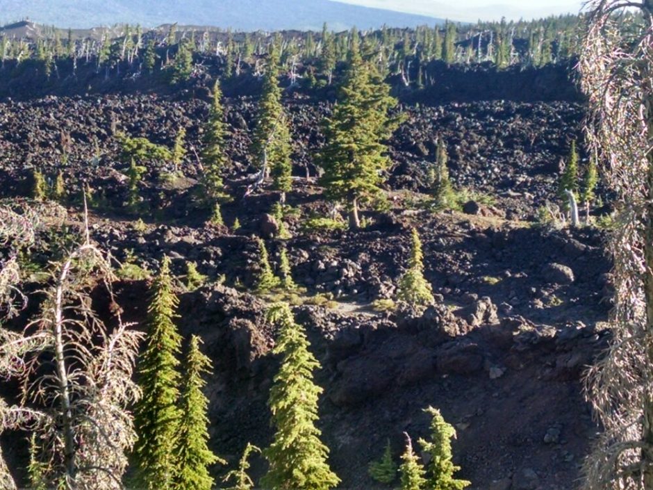
Later I do see some lava melted together, not separate rocks.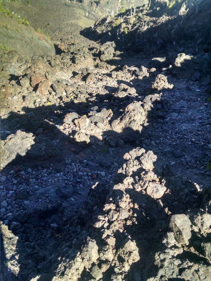
Looking back, one can see the Three Sisters together.
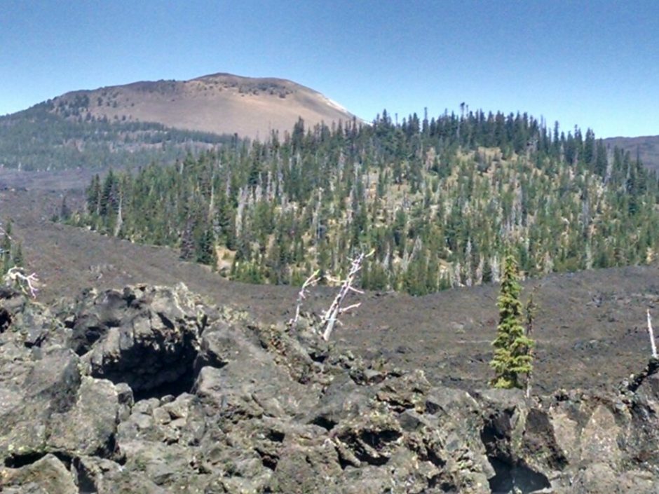
You might think you are done walking across lava fields, then the trail routes you over some more. Near Highway 242, to Sisters, the route does a fun twisty maze with many turns.
Across the highway we climb Belknap Crater, all lava, a long section of several miles.
The day is hot, and walking on lava is hotter, and walking 12 miles between water sources is hottest.
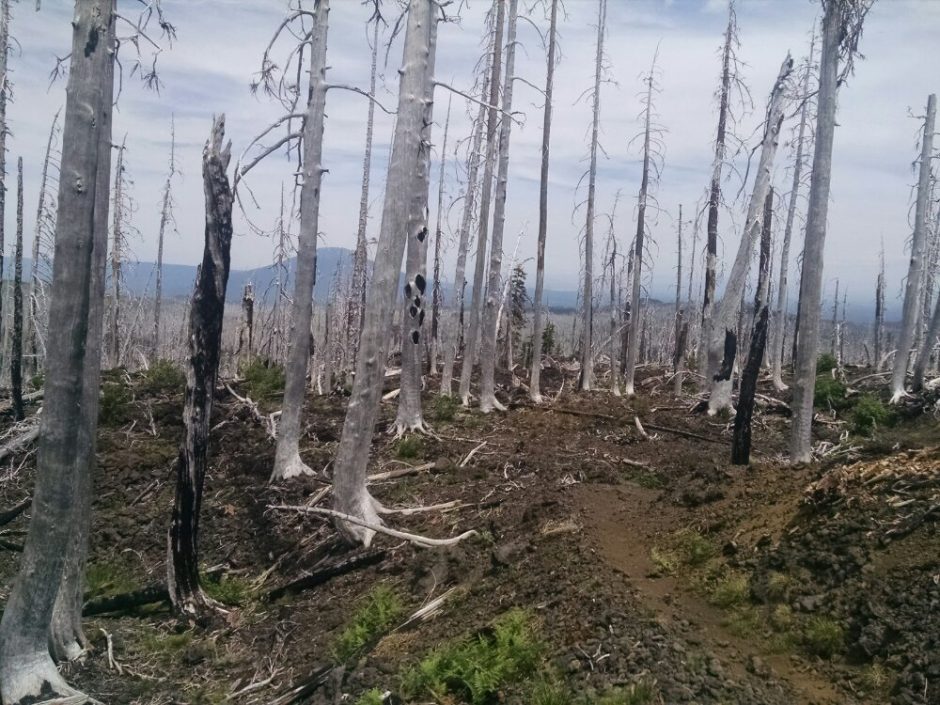
Some trees try to grow on the lava fields, so it is especially sad to see a burned area here. I run into a hiker who says the burn and closure happened last year, and that she is back now to complete her trail.
I detour to a youth camp for water, and stay an hour or so to download podcasts on their wifi. They have a hiker welcome center, with kitchen, laundry, showers, and hiker box.
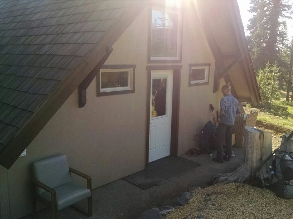
Hikers Josh, Ran (Israel), and Cache 22 are there, staying for a dinner. I skip dinner, and leave a donation for water and wifi on my way out.
I stop at a large pond to camp, the last water for thirteen miles.
I found this online. The glass-like black obsidian is formed when silica-laden molten lava flows to the earth’s surface without making contact with water. When this same lava encounters water, it produces the more familiar air-filled porous lava rock. When sufficient foaming or frothing occurs in lava, extremely porous and lightweight pumice may be the result.
I called the park to ask why pieces are scattered everywhere along the trail but they have to call me back.
If you find wifi Wikipedia has an interesting geology section about all the volcanos in Oregon, including Mt Hood.
https://en.wikipedia.org/wiki/Three_Sisters_(Oregon)
Geology.com talks about obsidian
https://geology.com/rocks/obsidian.shtml
Still no answer as to why pieces are scattered everywhere.
I scoured the internet and found a lost about obsidian but not why pieces were lying all over and around the trail. I finally called and asked the park office why all the pieces of obsidian were lying around on the surface instead of being in the large flows. Was it from explosions or from glacier activity? Their answer was that this area has been a tool making area for ages and what you saw was a manmade phenomenon. Amazing that this much human activity made it resemble glacier or explosive geological activity.
Incredible pictures and commentary–really enjoy following you. New Storehouse signs should be up when you get back.