- CT day 12, July 11, Tuesday
- Start: Collegiate West mile 21.4
- End: Collegiate West mile 43.5
- Miles walked: 22.1
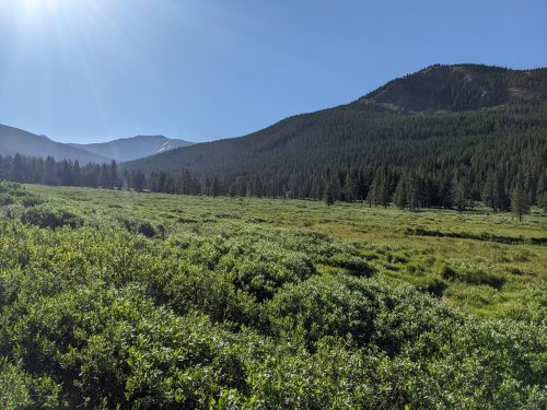
Taking a good while to descend off the mountain, the trail finally arrives at a trailhead and proceeds at the edge of a wetlands along Texas Creek.
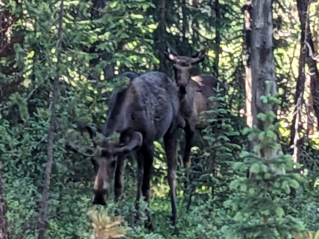
I hear a soft animal call and see a group of four moose grazing nearby– a bull, two cows, and a calf, their dark coats blending with forest shadow.
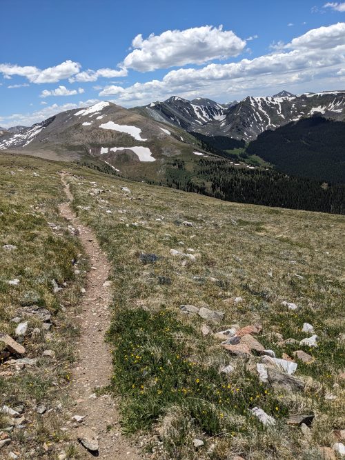
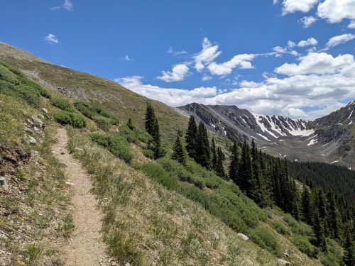
I pass Eric and Shannon, who had gotten an early start, and we keep passing each other during the day. The route leaves the creek and climbs steadily towards a pass.
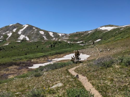
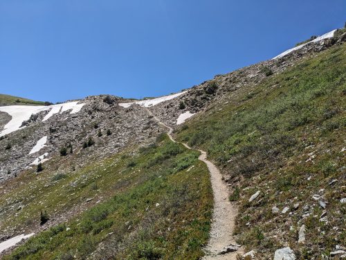
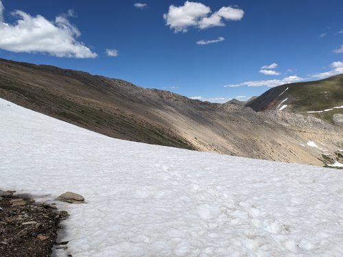
A patch of snow at the very top has to be traversed.
We descend down to a highway and a parking area where several day hikers are exploring the pass.
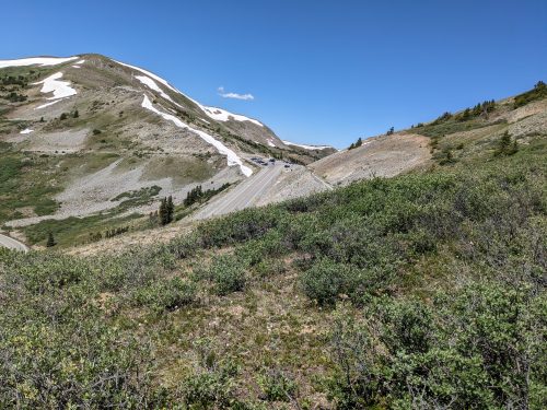
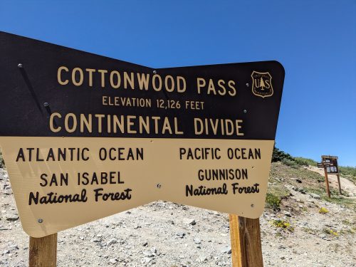
I do not see any cottonwoods at Cottonwood Pass, nor can I imagine any every growing at this altitude.
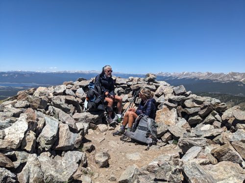
The wind is bitterly strong, and my sun hat is too floppy. In a rock shelter we configure our gear.
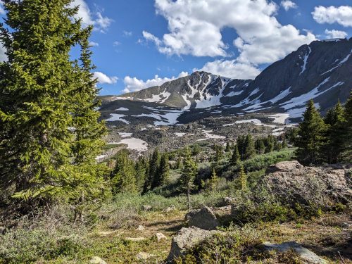
The route stays above tree-line the rest of the day, and it feels like walking on top of the world.
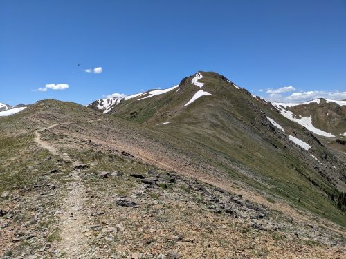
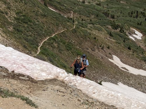
Several patches of snow must be traversed, including one very large one covering several switchbacks, that takes our three minds working together to find a route past.
I had hoped to get further today, even get below treeline, but that would have been a 30 mile day. The snow slows us down, and we must camp at high altitude, 12k, with limited protection from the wind among a few trees.