- NNML 2026 Day 2, June 19, Friday
- Start S1 mile 12, near USFS trailhead
- End S1 mile 32
- Miles walked: 20
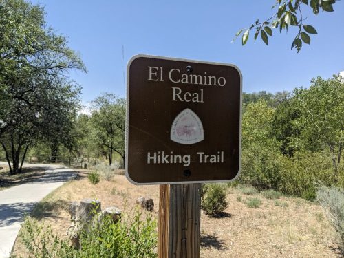
The route resumes on El Camino Real for a while, alongside Buckman Road and power lines. The road and power lines go straight to the Rio Grande, and the electricity powers a series of pump stations to lift water from the river up to Santa Fe county. The elevation differeence is too much for a single pump station to handle.
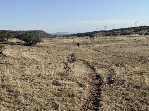
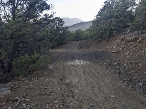
Then we turn sharp west, and climb up a ridge, and will avoid Diablo Canyon.
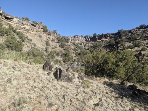
I hike several miles west on a series of 2-track roads.
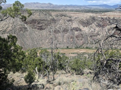
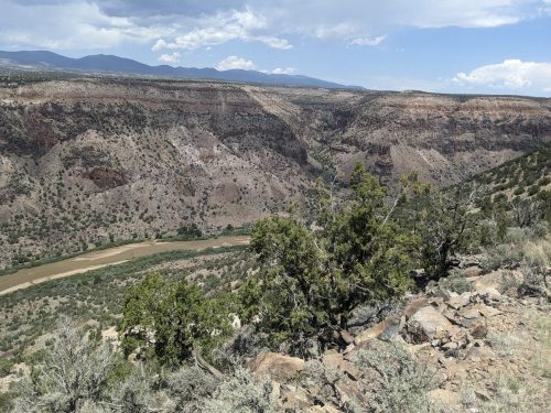
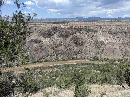
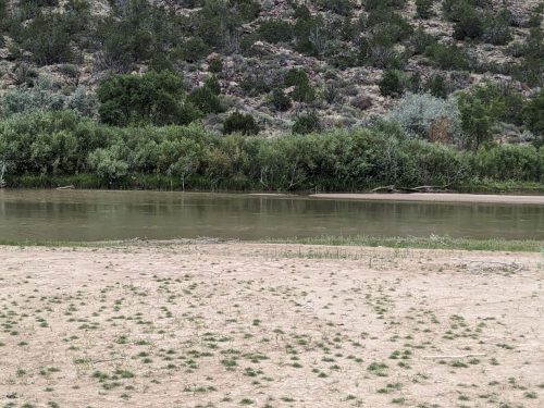
Finally the route descends down the Rio Grande Gorge, with canyon walls hundreds of feet high.
My place to cross the Rio is wide and shallow. On my first NNML trip, the water was too deep, so I had to hike back, and get a ride on the other side at White Rock. Will I make it this time?
Yes! The water level is quite low this year, and I know from checking online water gauges. Here is the view from the middle of the crossing.
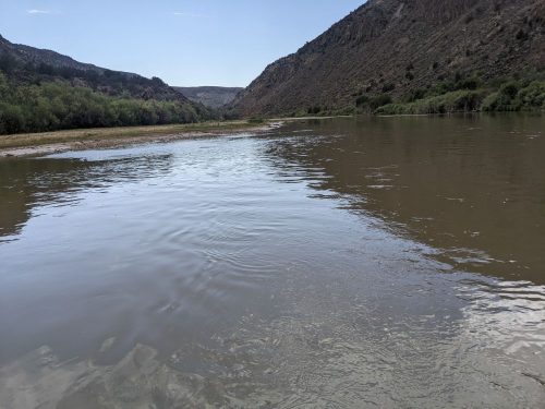
The water only comes to my knees, and then to mid-thigh in one spot, with low flow attempting to push me sideways:
Other hikers in other years needed a pack raft or kayak to cross. Just because one dude was able to wet-foot cross in 2026, do not assume you can.
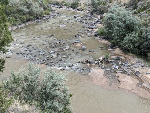
The route up from the river used to be a trail up Frijoles Canyon, but that route was wiped out by the Las Conchas Fire. There is an alternate way up, very steep with loose rock, but I choose the safer route up Ancho Canyon, adding 10 miles to my trip. I need to go several miles upstream along a River Trail, often disappearing or blocked by lush riparian growth.
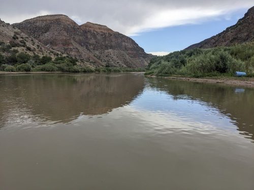
Here is the view of the river where I start climbing up. Definitely too low for river rafting.
Ancho Canyon has a trickle of water, so I do not need to drink directly from the Rio Grande. I climb up a bit, then collapse, exhausted, and can go no more today.
Finished audiobook Death Comes For the Archbishop, by Willa Cather. Appropriate setting for where I am hiking.
NOTE: I only learned the next day from the trailhead sign that camping is prohibited in Ancho Canyon. I have asked that my guidebook be updated.