Day 11, Saturday June 27, 2015
Start Rawlins Wyoming, mile 1619.5
End 06-184AP, near crossing with paved county road 63, mile 1640.6
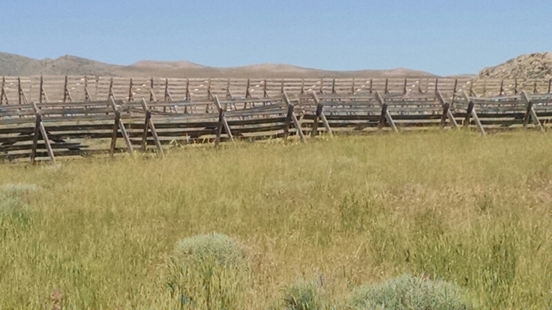
The trail roughly parallels highway 287, where snow fences stand guard.
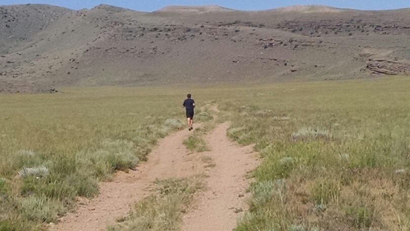
A lone trail-runner zooms past.
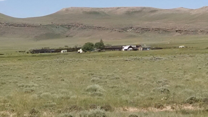
You know you are in for a rough winter when your ranch house has its own snow fence.
As the sun beats down, I grow thirsty.
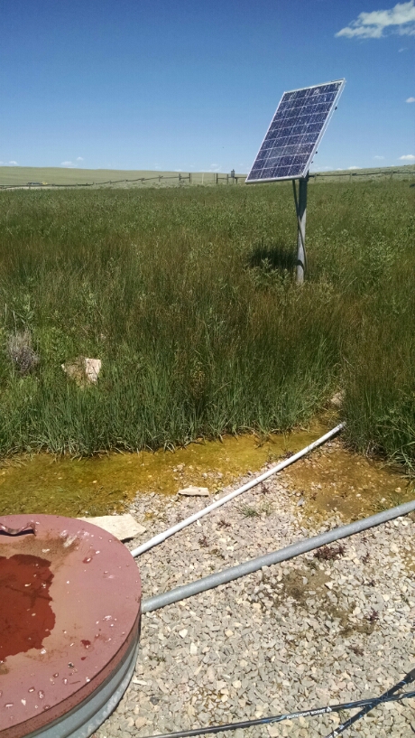
After 13 miles of hiking, the first and only water source for the day comes into view.
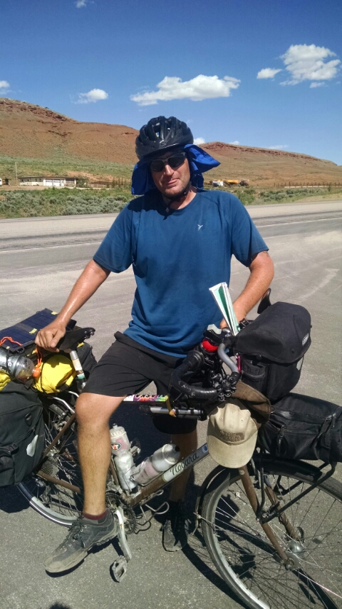
On a short road-walk along 287, I meet Jeff, on a bike trip between Alaska and Miami, Florida!
In the continental United States he is following the Transamerica Trail. In Canada, he did not follow the CalCan much, preferring a more complex route. He is zooming, doing 100-plus mile days
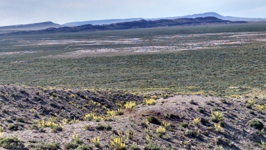
The trail descends into a flat plane surrounded by ridges. This I take to be the real start of the Great Divide Basin, an endorheic basin, a land formation where what little water precipitates can flow neither to the Pacific or Atlantic. This means salt and sediment are not rinsed from the soil, so expect water quality issues.
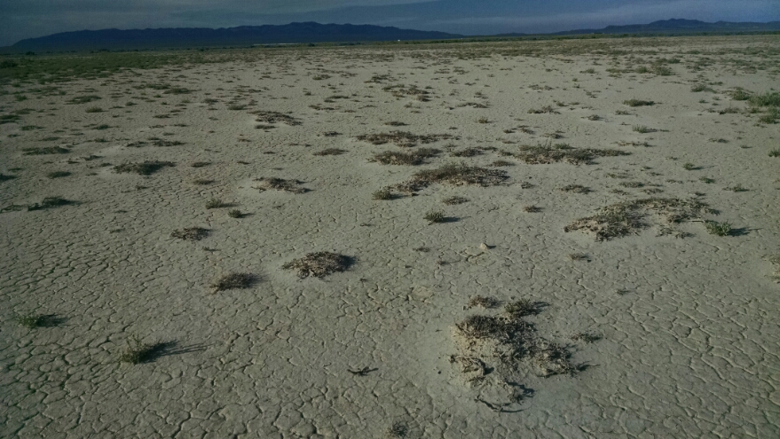
No grass is in sight, only scrub brush and some bare ground.
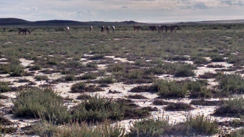
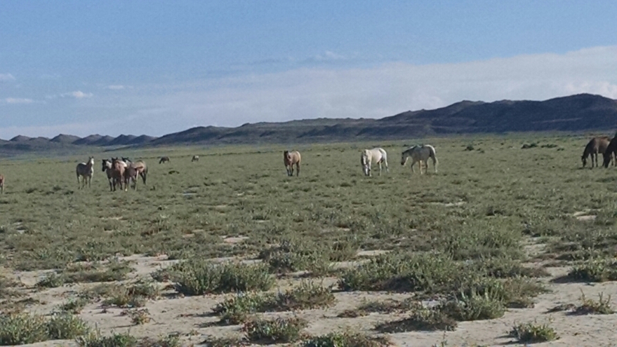
Some horses graze on meager fare, and would not tell me where their water source is hidden.
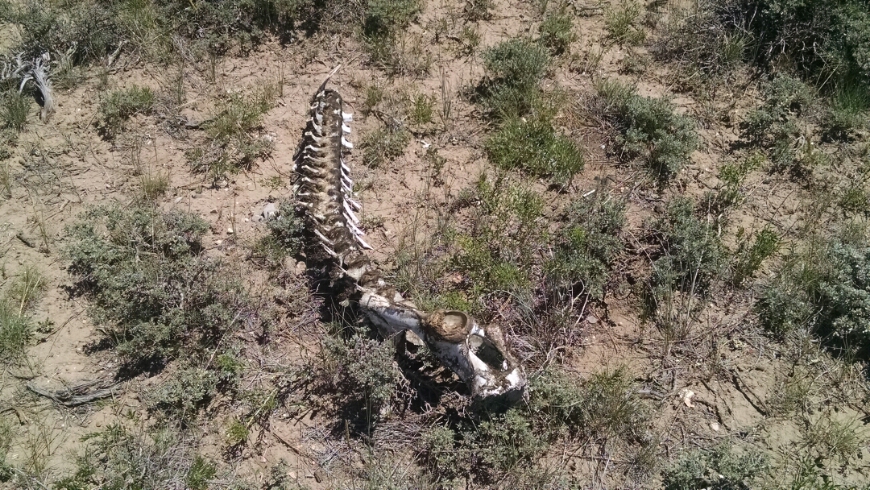
Some places are pretty bare.
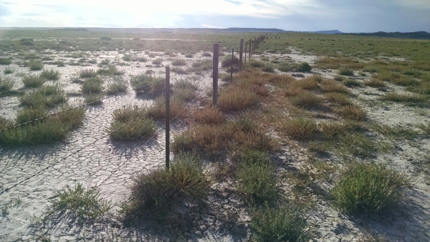
Still, someone put up barb wire fence, thinking to raise livestock here.
Tomorrow, after hiking eight miles, I should be able to find more water. If any of these water sources are dry or cannot be found, this hiker &ill take it personally.
