Day 12, Sunday June 28, 2015
Start 06-184AP, near crossing with paved county road 63, mile 1640.6
End Just past 08-001WT A&M Reservoir, mile 1662.5
I start early to take advantage of cool temperatures.
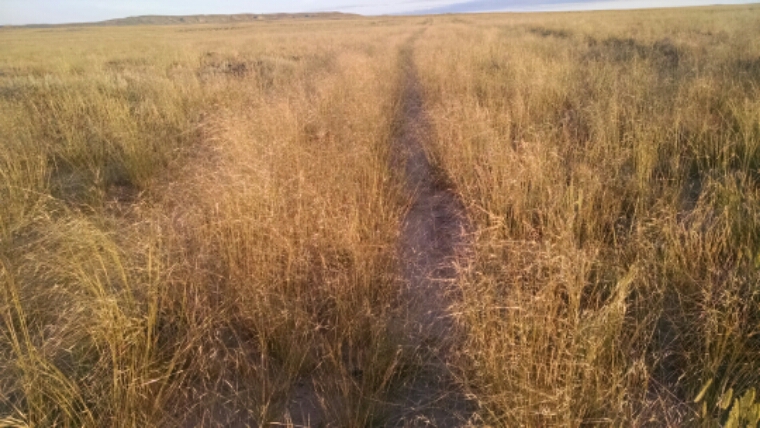
As the trail ascends, grass starts appearing mixed with the scrub, especially a variety that sinks darts into my clothes.
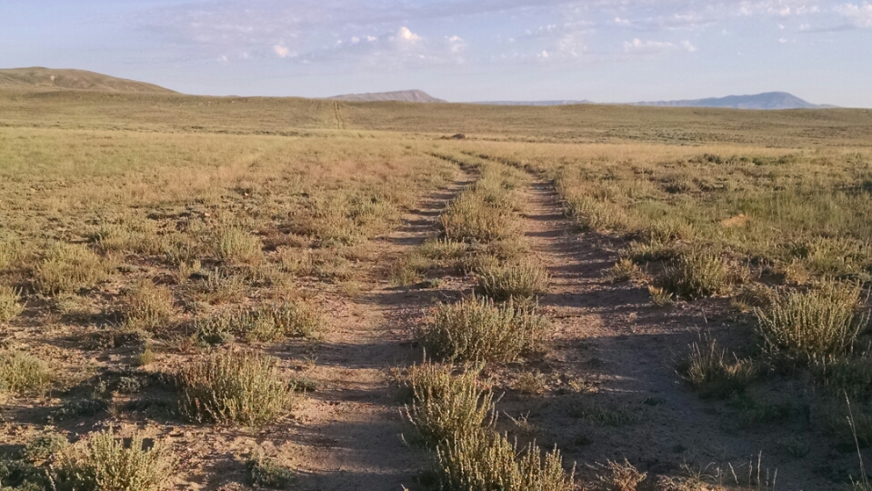
The basin is more than the flat plain hiked yesterday. Hills, mesas, rock outcroppings, and arroyos add variety.
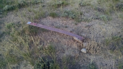
Does BLM know how quickly their route markers break?
Time to go for water.
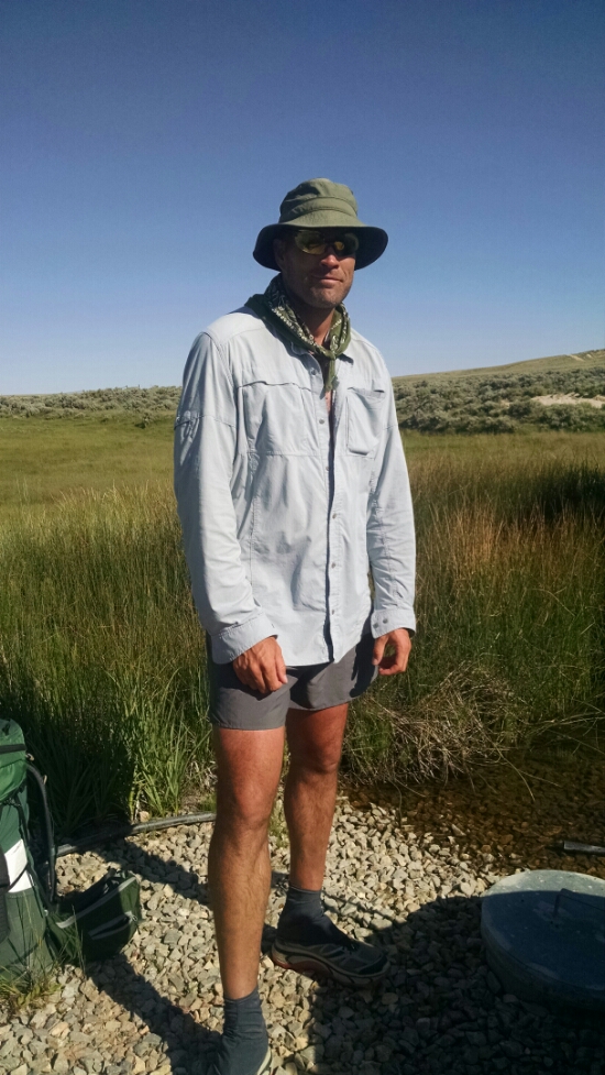
At Bull Springs is a solar well, where I meet Sterling, a thru-hiker, part of Warrior Hike.
He hiked north as far as Wolf Creek Pass, using an alternate forest road route on that last part, then flipped up to Atlantic City and going south for a while.
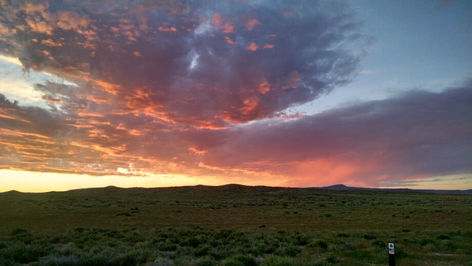
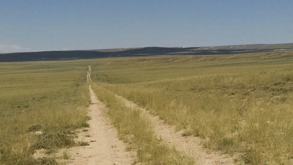
It probably does not show in the photo, but in the afternoon clouds were remarkably stationary, so the same piece of land could be in shade for hours.
Finding shade under a tree just will not work. No trees. Can be found for miles and miles. So I hike to one of those cloud shadows and stretch out for a siesta.
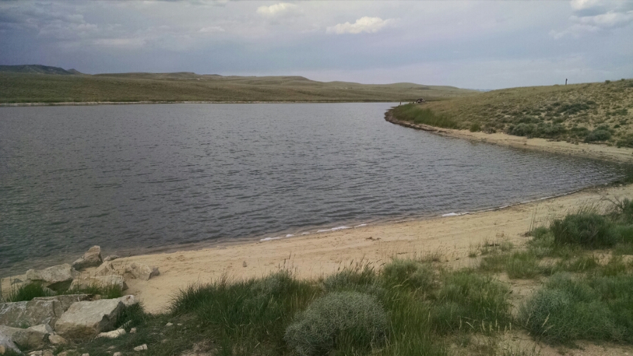
In the evening I reach a second water source for the day, A&M Reservoir.
A few camper shells and one bike camper are around the lake. I fill and filter water, and hike down the trail a bit to set up camp.
