PCT 2018 Day 4, April 26, Thursday.
Start mile 72, a few miles to a water cache
End Barrel Spring Campsites, mile 101
Miles walked: 29
A few miles from camp, the trail descends into a broad valley, and crosses two highways at narrow angles to each other, Scissor Junction. Underneath a highway bridge is a cache of water, and a rooster. 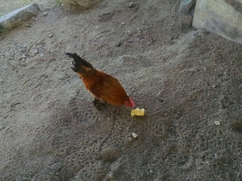 The path goes back up a mountain on the other side of the valley, up at 3300 feet from 2200 feet, and stays up there most of the day. Cacti and yucca outnumber bushes on the south side.
 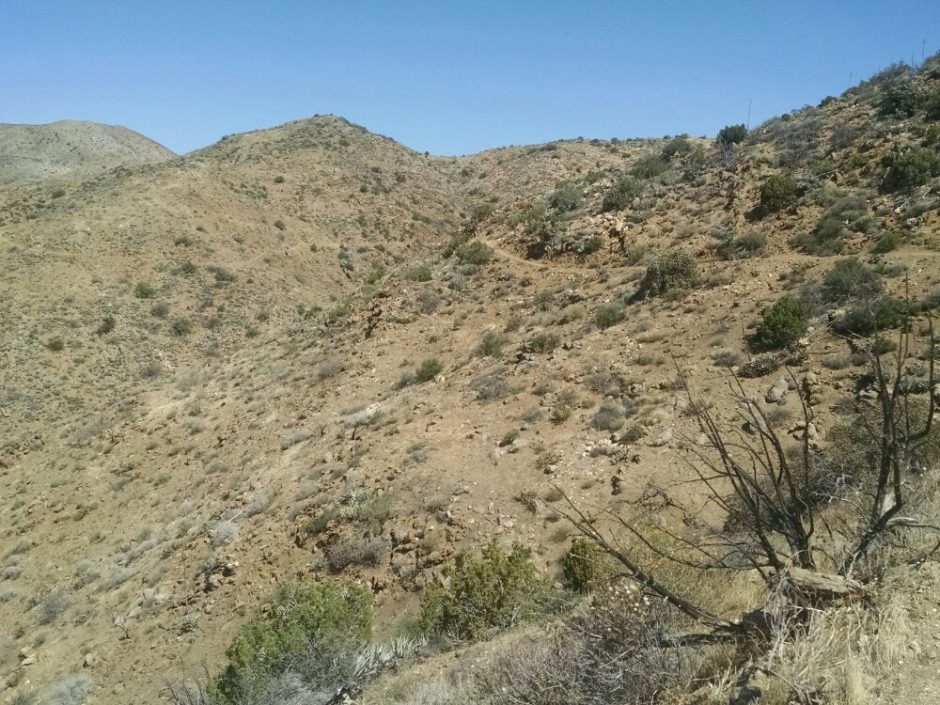 Another water cache is down a trail with shady vegetation, where many hikers hide from the heat. Finally coming down the mountain, we reach the 100 mile point.
 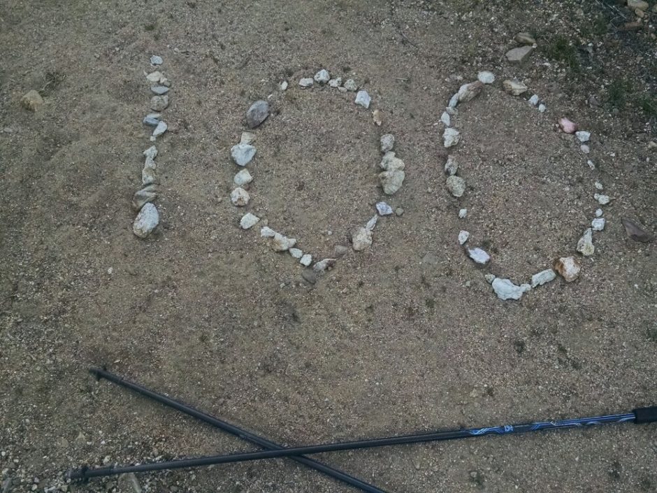 Nearby is a piped spring and campsites, where I get to chat with several hikers, including SmokeBreak, Julian, and a father-son team heading south because they were not able to get a permit. They tell us news of the stop ahead.