- CT Day 2, July 1, Saturday
- Start: Section 2 (S2) mile 0.5
- End: S4 mile 1.0, CT mile 41.5
- Miles walked: 24.2
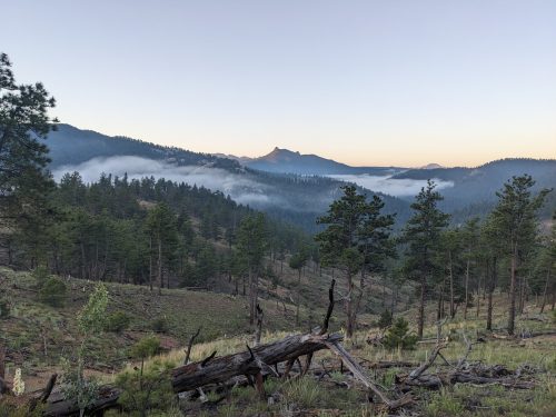
Mist over the Platte starts the day.

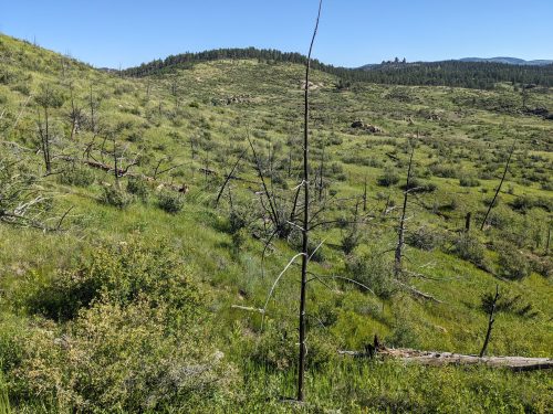
Section 2 had areas that used to be forest, but fire or clear-cut had transformed to high grassland.

Sagebrush personal hiking blog
Mist over the Platte starts the day.

Section 2 had areas that used to be forest, but fire or clear-cut had transformed to high grassland.

The route from Denver Airport went quickly, thanks to the city’s has a well-developed light-rail system The trains could only get me to within 10 miles of the trailhead so I used a ride-share app. Due to some glitch, we actually ended up at a Lockheed facility. The driver, whose English was not 100%, misinterpreted the reaction at the guard house and thought it was okay to proceed to the main building, And I was having trouble conveying my panicking concerns about the situation and that we are definitely at the wrong location. We got things straightened out and went to the correct location, but not before huge angry men with guns appeared and had a polite discussion with us. I did not take photos.
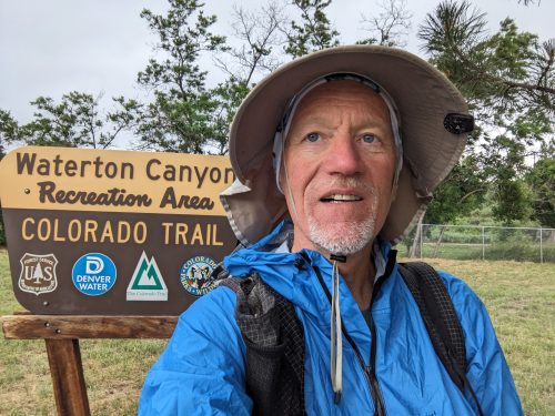
Rain and lightning started just as I began the trail, but was brief.

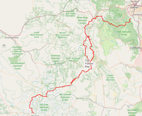
My ‘long hike’ for 2023 is the Colorado Trail (CT), approximately 500 miles, from just outside Denver to Durango, near the southern state border with New Mexico.

The average elevation is 10.3k, and the highest elevation is 13.3k. I hiked a good part of the CT way back in 2014, where the CDT in Colorado shares a good portion of the route.
Join me on my journey, by visiting this blog or subscribing.