CDT Montana 2016
Day 34, August 8, Monday
Start SB195-M, mile 19.3 of alternative trail in the Bob
Stop 25-072XL Elbow Creek Junction
Miles walked: 27.1
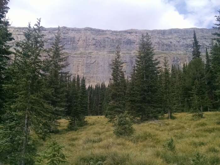
Still below Trilobite
Sagebrush personal hiking blog
Continental Divide Trail
CDT Montana 2016
Day 34, August 8, Monday
Start SB195-M, mile 19.3 of alternative trail in the Bob
Stop 25-072XL Elbow Creek Junction
Miles walked: 27.1
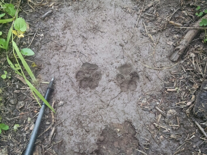
Still below Trilobite
CDT Montana 2016
Day 33, August 7, Sunday
Start SB-020M, mile 2.1 of western alternative trail in Bob Marshall Wilderness
Stop SB195-M near Trilobite Range, mile 19.3 of alternative trail in the Bob Marshall Wilderness
Miles walked: 17.2
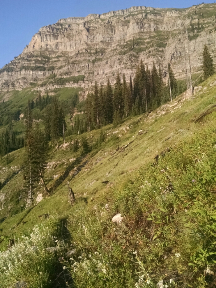
The trail starts wet and cold and clogged with plants overhanging the pathway, but transitions to shorter wet plants lower in altitude. The sky is overcast, and sun slow to shine into deep valley, when not blocked by clouds.
The forest seems thick and wild.
CDT Montana 2016
Day 32, August 6, Saturday
Start beyond 24-093XX, 9.8 trail miles inside Bob Marshall Wilderness
Stop SB-020M, mile 2.1 of western alternative trail in Bob Marshall Wilderness
Miles walked: 22.1
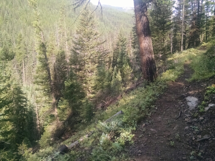
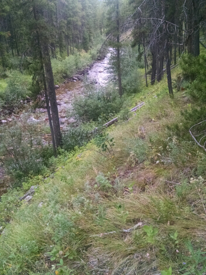
In the Bob Marshall Wilderness, most trail are named after the stream of water that they follow along. Typically the trail is up a hundred feet or more up the side of a mountain to even out the winding of that body of water and avoid the thick vegetation growing along banks. Here is West Fork Sun River as seen from West Fork Sun River Trail.
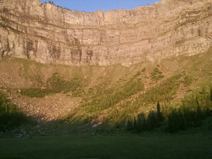
Today we get to experience something special, the Chinese Wall.
Behold a first look at the Wall in the distance