- CDT NM 2025 Day 28, Sunday May 4
- Start mile 703.3
- End mile 722.1
- Miles walked: 18.8
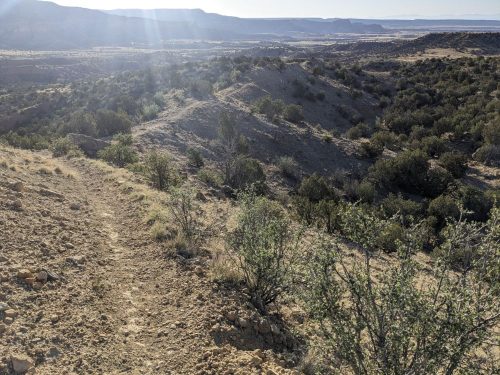
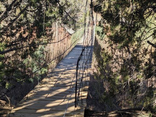
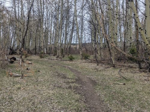
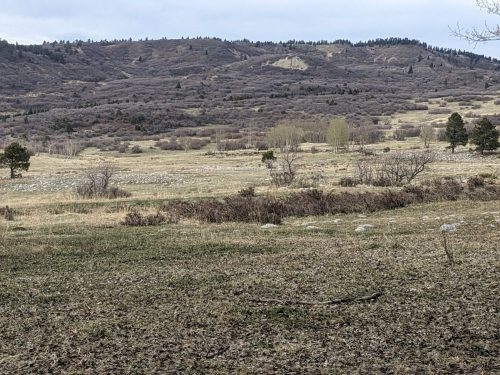
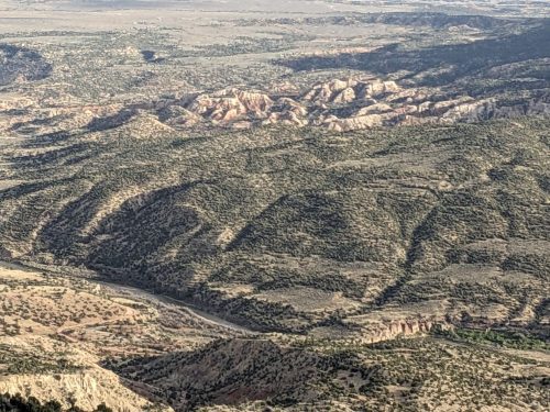
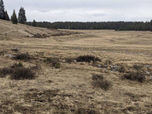
The route crosses high meadows and heads towards trees. Several two-tracks and paths and turns make navigation tedious.
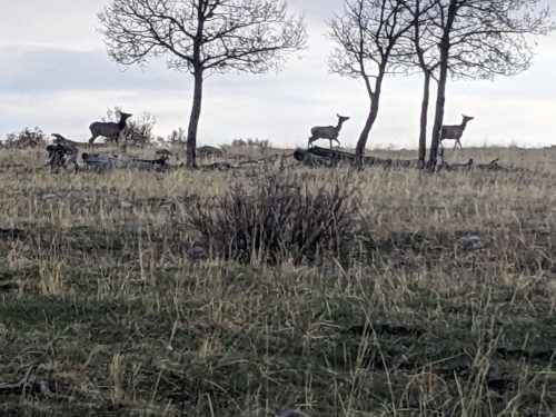
Elk cross by shyly.
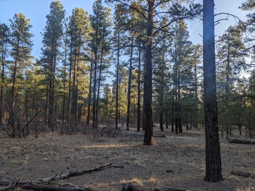
At another highland the trail much improves, with no road intersections or turn necessary.
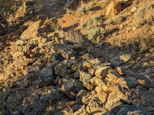
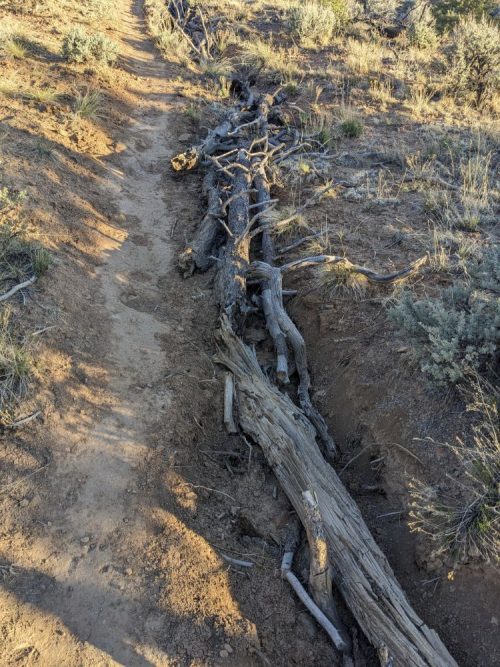
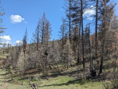
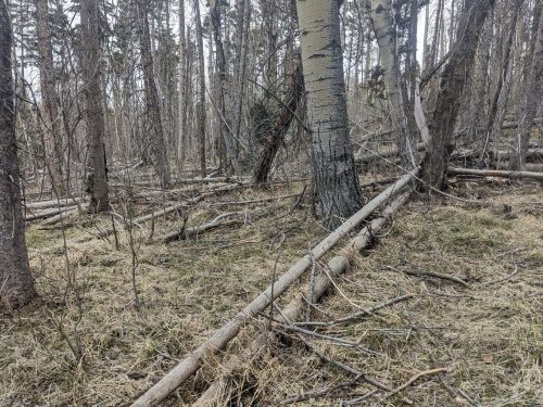
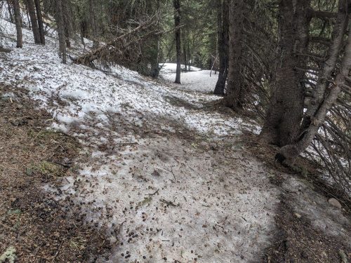
Then, suddenly around mile 713.5, the electronic map no longer shows the correct position of the trail, and I cannot find the correct path, and must go cross-country over many blowdowns.
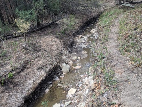
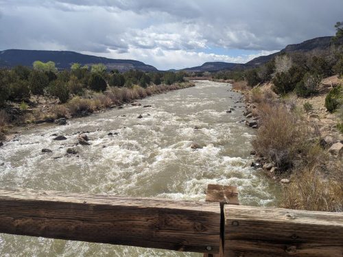
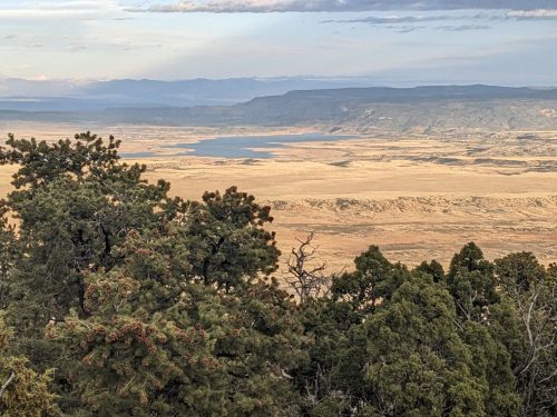
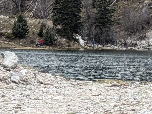
Finally, near Upper Canjilon Lake, the map corrects itself. Several people are out fishing.
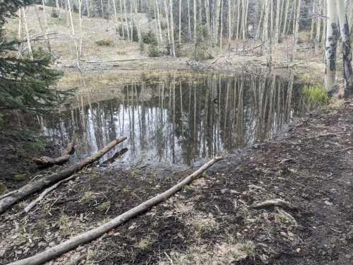
A loud chorus of frogs practice at a nearby pond.
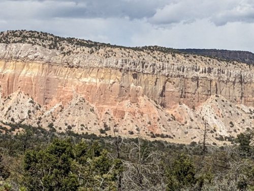
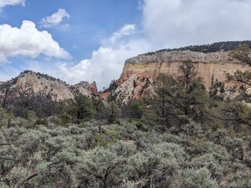
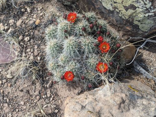
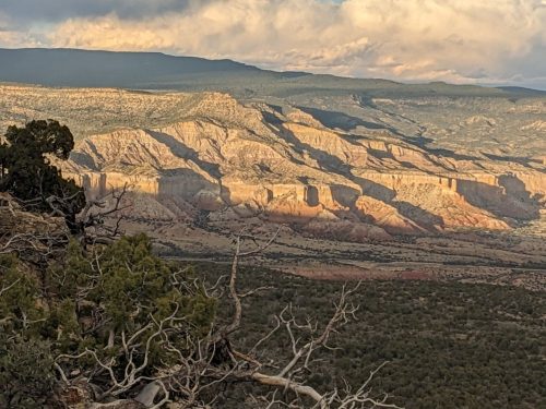
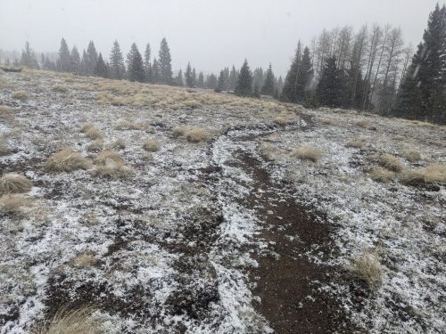
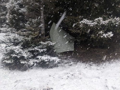
The day is overcast, and turning cold. The route passes into Vallecitos, an area with mixed meadows and forests, like San Pedro Parks. Like that area, there are snow crossings and swampy areas and flooded footpaths. And we are at a similar elevation, around 10k.
Snow begins, dry pellets at first, then with sticky snow.
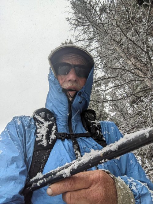
Eventually the wet snow is too much for me to keep warm enough while hiking, so I make an early camp underneath a fir tree, and hope for better conditions tomorrow.
Finished audiobook The Singing Bone, or The Adventures of Doctor Thorndyke.