AT 1988 Trip Journal: North Carolina and Tennessee

(In preparation for my attempted completion of the AT for summer 2012, I went back and transcribed journals and scanned photos from my 1988 hike. Good research to see what I could do better. Presented in three posts. Entry headings are the final arrival location for that day. Later explanatory notes are in italics. )

6/16 Thu– Fontana Dam Shelter 165.7

(Arlette letter)

Left earlier than Rob. Chanced badly marked trail, which was a mistake. After hitting road, guessed at wrong direction, lost the hour I would have saved. Finally “discovered” the village, got mail-drop (Box 1), chocolate shake (at a weak moment), laundry, packed, found Rob on porch, got groceries, ½ gallon orange juice after shake (not a good idea!), hamburgers afterward. Worse idea. Uurgh.

Hitched a ride to dam area, walked to nice shelter, inhabited by nekkid Spacey Steve, “Mickey Mouse Cowboy” (southbound from New Jersey), Jay and two Scouts, who I passed yesterday made it in later. Taking rest of day off for knee. Found phone, called Mom, got some bad news. Found sink and shaved, free hot shower, great! After dinner called Karen– so wonderful to hear from her. By the time I got back to shelter it was dark, everyone asleep. Fellow next to me made noise all night, making it difficult to sleep.

Fontana Shelter

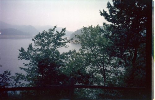
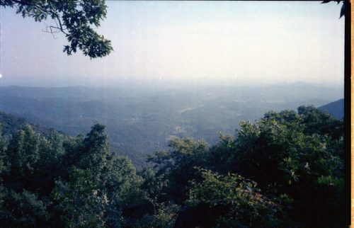
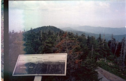
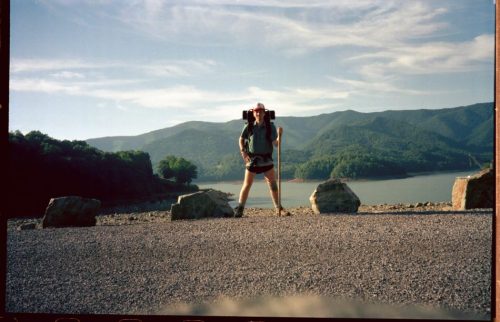
View from Fontana Shelter

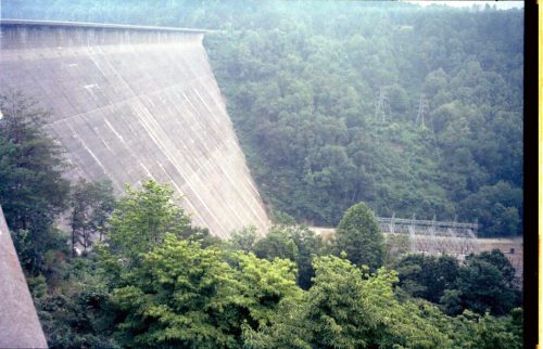
Fontana Dam

Out of self-registration permits, so will have to do that tomorrow. (ed note: Access to Smokies controlled, reservations at shelters due to bear issues. Most shelters with chain-link fencing, secured at night, hopefully ursis-resistant.)

Will Smokies be hard or easy? What about my knee?

I had to act as interpreter between Rob (Aussie) and Steve (NYC).

Solar hot water for showers right next to hydroelectric dam!

6/17 Fri– Russell Field Shelter TN 176.4

Rob and I got to the dam at 7:15 and called the rangers to get entry permits. He said 40 minutes. Upset, we waited 50 minutes and called again. Finally he came at 9, gave one permit for both of us, gave lame excuses. Across the dam, into the Smokies. Rob and I had to specify shelters so we played it safe and did 12,15,15,15 miles. Tough climb. Met group who said no water at Russell. Passed Jay, who already had permit. A day for a lot of sweat. Stopped at Mollies Ridge to get water for Russell. Just a trickle at that shelter, so after ½ hour someone comes by who says Russell has plenty of water.

Several people at shelter. Rob got caught in brief rain shower. Jay came rambling in. Couple from Tennessee, dad and son from ‘Bama, two quiet bookworms, three guys from Michigan State. Lots of good conversation.

Beds awfully squeaky at night.

6/18 Sat– Silers Bald Shelter 190.2

Rob started ahead of me. Mild up and down in morning. Only caught up to Rob while he was talking to couple– she with headphones and gaiters, he called “Feather Pack” because his pack was so light. Rob had caught a brief glimpse of a bear around Spence Field. Great view on Rocky Top. Stopped at Derrick Knob for lunch. Rob started on ahead.

Something I ate must have disagreed with me, because I kept making side trips into the woods. Not making good time. Kept thundering for a couple of hours, finally started raining. Jacket worked OK, but inside of Gore-tex boots kept getting soaked. Why? Finally made it to Silers Bald Shelter and found Rob, who declared this to be our home for night.

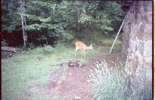
Deer at Silers Bald

Three guys from Devry Institute in Illinois came in, on a thirteen day eating expedition. Made a big production of dinner.

Knee still bothering me today. What to do?

6/19 Sun– Ice Water Springs Shelter 205.1

Now I see why the grass at Siler’s Bald Shelter is cut: three deer stay there– buck, doe, yearling buck. The young one was quite unafraid, and could he snarf that grass!

Big gradual climb to Clingman. Ran into tourist road to top. Could NOT find trail back down, after careful looking. Much of Smokies so far very poor with white blazes. Reluctantly, we knew road would run into trail, if map was right. On road a ranger stopped to check on us– the same knuckle-head who gave such poor service at Fontana. Finally, after infinite dodging of cars, we reach trail. (Ranger’s directions were wrong.) Next section many trees blown down with huge shallow root structures. Trail construction here extensive, but not subtle. After huge tourist parking lot, big climb on wide trail. Passed hill that appeared to have lots of lightning hits. Easily made shelter before 5. Fairly full shelter. Finally rained.

In shelter: couple of teachers from Georgia, southbounder from New York, three guys in high school, and more.

The three guys came in at 1AM. Grrr.

Skunk came back for seconds and thirds. Some idiot left garbage sack on floor.

6/20 Mon– Cosby Knob Shelter 225.1

(ed note: No pictures for a while, because out of film.)

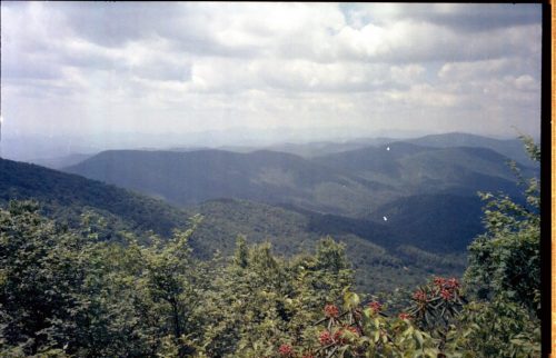
In the morning around Paul’s Bunion, best views so far. Walking along very narrow ridge, we could see both directions at some unusually rugged and picturesque hills. In some places a umber of trees dead. One guy said rangers are saying acid rain.

My feet are in agony from wet shoes again. Bottom of feet look serious. Perhaps high wet grass too much for Gore-tex? May need gaiters. Wouldn’t hurt to seam-seal and slightly wax boots. Improvising with cheese wax little effect. (ed note: wax skin used to package cheese)

No water source for a long time. Finally got to Tri-Corners for late lunch. Some already in shelter– three from Louisville. Left around 2PM as several arrived at shelter for evening. Storm building all afternoon. We stayed at very edge of storm: left OK, right rain. Got to Cosby earlier than expected, around 6. A group of three already there, sitting in camp chairs! Out for yearly cruise through Smokies: Newfound Gap to Davenport Gap (mostly downhill). Dubbed the “Fast Hikers” because they kept getting passed (probably during frequent breaks). Three all a bit overweight, claim they GAIN weight during trip! (Mostly good freeze dried: Mountain Home.) This group likes to cut up a lot, seemed good at having fun. Talked with Rob and me a good deal (after our baths), made us feel part of team. Broke out some Jack Daniels and offered– Rob had some, one of them had a lot. They talked about their hunting and fishing clubs, where they do the same stuff– with pros.

6/21 Tue– Groundhog Creek Shelter 242.7 (out of Smokies)

Slept in late because Fast Hikers offered us ride and back to grocery store near Davenport– where we all planned to get chili-dogs. “Chili dog, chili dog” became the chant as we walked together, mostly downhill. Surprisingly, the group had a pretty fast pace. Finally to truck in parking lot, near ranger station, to grocery. Selection: mostly cigarettes. Service; poor. Food: good! Each of us had three chili-dogs with onions, mustard, ketchup, plus several drinks. The Fast Hikers treated! Rob and I got groceries, and they took me back to AT at I-40. They took Rob on to Gatlinburg where they left a car. He wanted to get gaz at hiking store there, and maybe maps, more food. Would have to hitch back.I told him I was planning to R&R a day at Groundhog, if he wanted to get there and join. He needed at least two days off toe, which was hurt early in trip. (“Up-hill Toe.) I hadn’t planned on getting all the way to shelter this evening, but chili-dogs got me way up the hill.

Out of film so couldn’t get the group. (No film at grocery.) Keet, Russ, ?. Most years two more, one new one this year. New one investment banker in Atlanta: citrus grower in Florida: sells windows in Florida. They were planning to celebrate with trout dinner– didn’t pick restaurant yet.

Grocery clerk asked Rob if he was a yankee, because of his pronunciation of rice: “ross”.

6/22 Wed– Groundhog Creek Shelter 242.7

Stayed here for a Rest and Relaxation day, repairing equipment: heat sealing pack fabric edges, trying to fix faulty pack strap, waxing boots, etc. Seeing if Rob would show up, writing long Karen letter, napping. CMC volunteer came around noon, checking trail and latrine, stayed to talk while waiting for friends to show. Eventually gave up waiting, went to look for friends, said he would be back. If he did come back, I was asleep.

Mike, southbound through-hiker, came in afternoon. He talked of Mickey Mouse Cowboy, Duffel-Bag Tim, Indian somebody, Damascus. Started in Pennsylvania (?), may finish northern part next year. Will look for job in Tennessee. New Jersey accent, knew Jim (New Yorker southbounder I met in Smokies).

Mike had a LOT of ……

6/23 Thu– Deer Park Mountain Shelter 265.1

Mike said he could sleep in until 3 and still do ten miles.

Walked for over an hour before I knew for sure I was going in right direction– agonizing.

Reached Max Patch, which is old farm pasture, with 360 degree view. Crickets chirping in the morning. Does my nose deceive me? No! Wild strawberries all over the place, all just at right stage of eating. Oh! So flavorful!

Later in day flushed the smallest deer I have seen. Looked like it might have come to my knee.

Got to shelter at 6, decided to go into Hot Springs for munchies without pack. Trail down VERY long, grocery stores all closed, only got a warm soda from machine, LONG way back up. Shelter full with youth group, so I camp near water. Lightning for a very long time, finally a light rain.

6/24 Fri– Little Laurel Shelter 287.6

($8.50 film,food, $2.25 ice cream, sodas. Letter Mom, KK)

Descended into Hot Springs, stopped at hostel to look at map, got mail (Box 2) and groceries. Passed by whitewater place on way back. VERY steep, unlike well-graded trail in. Met members of Kennerac Mountain Club, working on grading the trail. They go out and work five days at a time! All over south. VERY hot day.

Ate lunch late at Spring Mountain Shelter. When finally arrived flies bad. Met couple from Florida, him an engineer, doing trail in sections. We discussed possibility of reaching Alan Gap Grocery by closing time. Munchie craving already! Leave at 4, get to store by 5:50, doesn’t close until

7! Get pint neopolitan ice cream, peach Nehi (!?) and Pepsi. Eat outside next to store. Walk while storm building. Stop to eat dinner just in case. Decide to keep walking until dark or find water. Dinner helped. Finally made Little Laurel Shelter at 9:15, just about too dark. Shelter filled with YMCA youth group. I sleep behind shelter. Distant lightning, light rain at night.

Summer growth a real problem in places. No views. Real hot.

Couple told me that gnats hate Avon’s Skin-So-Soft.

6/25 Sat– Hogback Ridge Shelter 308.4

Rain from night before on plants. Early on ran into worst summer growth of trail so far, which drenched my shoes. Took whole day to dry– agony. Stayed at Jerry’s Cabin extra to try to dry shoes in sun, with little apparent effect. Did not feel like walking much from long day yesterday.

Worst single ascent of whole trip coming out of Devil Fork Gap, though Nantahala had more.

When you think you are about done, just got worse. Planned to call it a day at next campsite, Big Flat, but could not find it. Had to press on to Hogback Ridge. Two people there already asleep at 9 when I arrive, so I camp in back. Water source very far. Had to eat in dark. Still did spit bath.

Trail markings in this section are poor. Blazes okay, summer growth spotty. Grades spotty.

6/26 Sun– No Business Knob Shelter 326.4

Slept in. Didn’t leave until around 8:30.

Ascended to Big Bald through some ex-fields. Blackberries ripe but abundant. To high open area, just after several minutes of steep rocks. Looked for and found wild strawberries. Wonderful, some quite large. Showed person from shelter the night before the berries, walked on and met the other guy waiting at top, who missed the berries.

Walked on, planned to have late lunch at Bald Mountain Shelter– couldn’t find shelter! had to press on very far to get water.t Whistling Gap spring stagnant. Finally got water at Spivey Gap. Raining some, drizzle mostly. Tough time deciding whether to make camp or press on, but gnats decided for me: go on. Made No Business Knob Shelter in time to eat, wash without a flashlight. No other people at this shelter. No drinkable water at spring, but did use to bathe. Fortunately I arrived with a full quart.

6/27 Mon– Beauty Spot

Since no drinkable water at shelter, decided to break camp without breakfast and eat at water source along trail. No water until Nolichucky River! Trading post at Nolichucky Expeditions closed, but did get pepsi at machine, call Mom. Ate lunch at stream just past N.E., long break at Curly Maple (spring almost stagnant). Did not plan to stick to schedule today, since tired from previous long days, and could make up time with short day ahead.

Some nice flat walking for a bit, then up to Beauty Spot (bald, good views) for early dinner. Went down to campsite– water bad, naturally. Made early camp, back up to watch sun set. Couple up taking photos, fooling around– did not talk, spent a long time calling for dog. After sun set back to camp, where dog appeared. Returned it up to owners (temporary, it seems).

Could see we are now in for cooler weather– cirrus clouds, good visibility, cold front must have moved in. Ate a second half-dinner and got a good night of sleep. Previous night not very restful for some reason.

Got bad news from Mom. (ed note: phone call earlier in day) May need to end hike early.

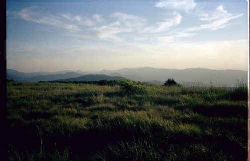
Beauty Spot

Beauty Spot

6/28 Tue– Clyde Smith Shelter

Broke camp without much breakfast due to no water. Stopped at next spring to drink. Decided to do somewhat short day– still inefficient.

At Iron Mountain Gap walked 0.5 mile to grocery store. Got 3 sodas, pen, butter brickle pint. Jason, 6, showed me faucet, trash-talked with me while I ate. He talks with all the hikers that come there.

After back on the trail, passed by dune buggy, obviously a bit confused. Passed me again, talked, offered a beer.

Went on auto-pilot for three hours, made camp by 6. Didn’t have to swat my first gnat until 1:15PM– wonderful, fairly cool from cold front moving in, thinking a lot today about home situation. Maybe week off at Damascus might work. Decision point: Damascus.

In camp, uncle and two worn nephews already in. Extra long bath necessary. While eating, in walkes two women who say, “Is one of you Jungle Jim?” !! Ann and Andi, after all these miles. Real REAL nice, lots in common. Tried drying beans, gave me sample packet of Skin-So-Soft, and I will get to see them cook dinner, a religious experience… Because of upset stomach, they make mashed potatoes, period!

They say I will meet others of group tomorrow.

6/29 Wed– Apple House Shelter 377.2

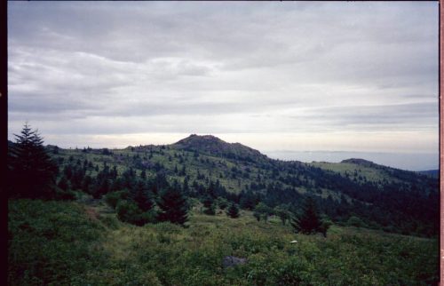
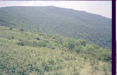
Left while Gun Sisters still in tent, with vague sounds emerging. Windy, cool during climb, some rocks before top. Finally, top of Roan (Groan) Mountain, arguably one of the prettiest spots on the trail. High grasslands ecology with many blooming shrubs and wildflowers.

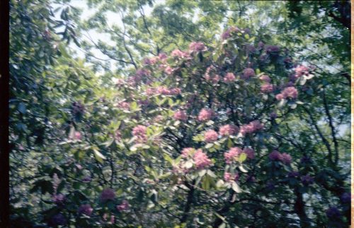
Wildflowers on Roan Mountain

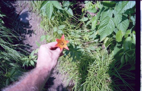
Saw several lilies. Passed one group of about twenty, told me of a rare lily, which I later photographed.

Rare lily on Roan Mountain

Springs at campsites and shelters dried up. Wasted lots of time looking for water. Finally groaned down mountain, found water at Doll Flats, descended to Apple House– unusual structure. Met two couples who hike trail a piece a year. “It’ll take us two years to get to Damascus!” They gave me food left over from BBQ place up the road. Went out late to call Mom, tried KK, back by flashlight past 10.

6/30 Thu– Morland Gap Shelter 391.3

Rained last night. Went in to Elk Park, got food (Box 3), groceries, lost three quarters in nearest coke machine. Rained some on trek. Trying out improvised gaiters out of plastic bags. Had to return to Apple– left sweat pants. Seem to be forgetful, distracted by outside events. (ed note: illness in family) Said goodbye to two couples from Florida again, preparing to head to next shelter, and started. Some say this is one of the ugliest parts of trail. Obstacle course through cow field woods, zig zagging past vicious dog I might have bopped but owner probably enjoyed show through screen door of mobile home. Did pass nice cherry tree with ripe fruit, some good sour apples. With the field and poor plant control, boots soaked again. This is upsetting. These boots cost a lot. In solo to Morgan Gap.

7/1 Fri– Near Watauga Lake Shelter 409.3

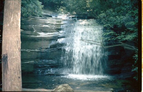
Did not start off a good day. Hiked several miles, then met a guy I already passed. I somehow started off the morning hiking the wrong direction and did not recognize any of hte trail from yesterday. Some major things were on my mind and, quite honestly, after so many miles the trail looked pretty similar. U-turned, had lunch at Morland. Concerned that I might get to Damascus late since already behind, but managed to stay calm. Motivated to hike fast. Dinner at Laurel Falls Shelter. That part of trail looked like it had undergone a lot of work. Nice shelter on the cliffs. Bypassed the falls because of time. Shortly after falls, took blue-blazed trail to highway, hiked to Watago Lake, short-cutting a section of trail. Got to lake by 9, found trail, hiked with flashlight for a long way. Batteries finally gave out, so made camp just off trail in woods, in the dark.

7/2 Sat– Double Springs Shelter 430.3

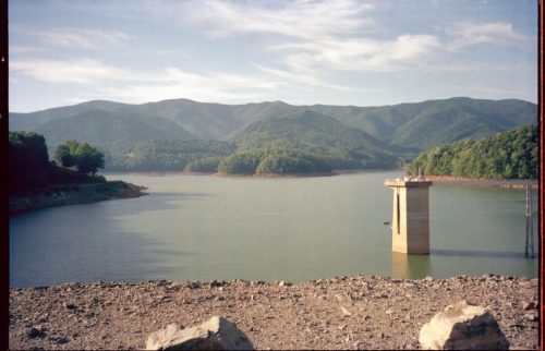
Broke camp without breaking fast, hiked a mile or two to Watauga Shelter. Spring dry, but ate there anyway. Hiked to earth-and-rock dam, crossed and started climb.

Watauga Lake

On Watauga Dam

Once on ridge, got good view of lake valley below. Reasonably flat ridge– able to “get down” and hike. Had not had such easy walking since Georgia. Stopped at Vandeventer for lunch. Had water earlier, so skipped 0.3 mile descent to H2O. Wrote in shelter, asking if anyone actually made 0.6 mile trip not knowing if spring was dry or not. Later learned spring was indeed dry.

Start of ridge, lots of summer growth. Concerned that if might keep going and spoil the fun, but finally got on road and really had a nice hike. Lots of vistas to valley below before lunch.

Kept walking, stopped and got water just past highway– relief after dry spell. Good pipe spring. Hiked until 6:30 and ate at a flat spot on trail, continued on and made Double Springs Shelter by 8. Took welcome bath and laundry up the trail, came back and chatted with four other shelter inhabitants: two out for weekend, and the “Grueling Honeymooners”, real nice. She from Vermont, he loosing weight on trail. After two more weeks they are going up to Vermont to hike.

Related posts: AT 1988 Trip Journal: Georgia
AT 1988 Trip Journal: Georgia
(PDF download of entire AT 1988 trip journal)

(In preparation for my attempted completion of the AT for summer 2012, I went back and transcribed journals and scanned photos from my 1988 hike. Good research to see what I could do better. Presented in three posts.)

6/3 Fri— (Atlanta GA)

Last day of class

6/5 Sun

Up until 4AM bagging food, and still not through! Woke up naturally at 9AM and finished the job, then finished packing and cleaning apartment. Out (finally!) at 6:30PM to Kentucky, with car filled with 20 food boxes and stuff.

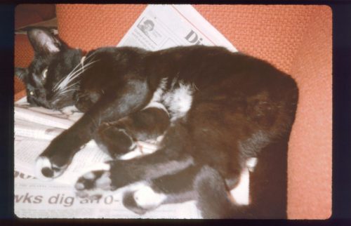
While cleaning, Sushi (my feline overlord) slipped through the window with a live bird in his mouth. He took it over the the corner and played and nudged it, then dozed with one paw on bird. Occasionally bird would revive and whimper, which would get the cat’s attention.

Sushi

Just as we left the house, Sushi jumped through the open sun roof. Nearly lost him when he bolted.

Coming up to parents’ house.

6/6 Mon– Springer Mountain Shelter 0.2 (numbers in heading are miles from Springer Mountain)
Dad suggested we leave today since he would have difficulty leaving tomorrow (I gave them the option.) On road by 8:30AM, to Atlanta apartment to pick up pack and leave key, and get more boxes, then to Nimbelwell Gap. Dirt road was rugged but not too bad, and we saw a doe.

The trail was alive with grasshoppers! 75 degrees F at start at Nimblewell.

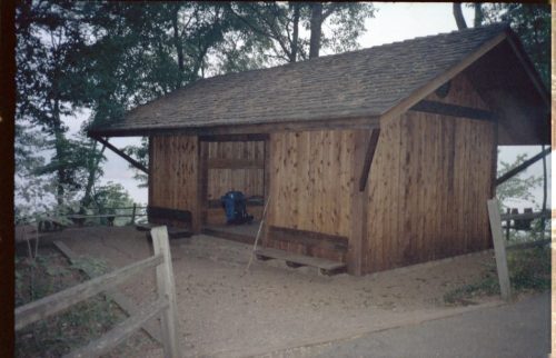
Pinch test at start of trip

Maybe tonight I can catch up on sleep lost during past two days.

Can I really be attempting this thing?

All the annoying bugs and dense undergrowth sure make the trail seem unfamiliar. I am used to Spring conditions. (ed note: I had previously done this section of the trail during Spring Break as a training hike.)

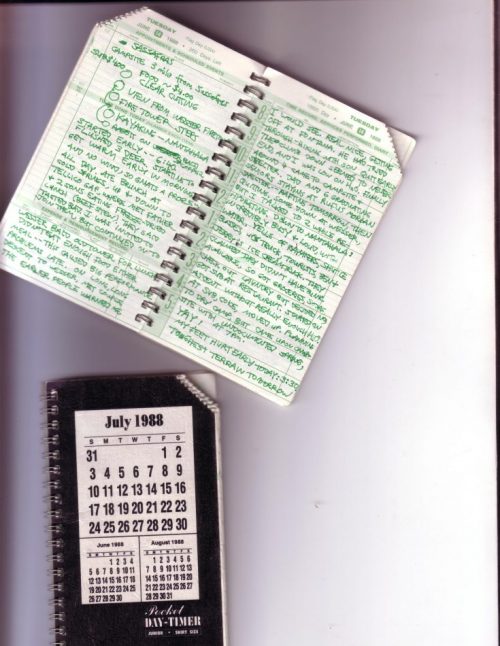
(ed note: Trip journal entries, for reasons of portability and weight, are written in Day-Timers Junior with two small pages per day, and require tiny writing, abbreviations, and copious sentence fragments in place of formal prose. Rather than long philosophical discussions, text tends toward more prosaic matters: “Boots are soaked again!” We choose to reproduce entries with only minor edits.

Entry headings are the final arrival location for that day.

Later explanatory notes are in italics. )

Trip journal

6/7 Tues– Gooch Gap Shelter 16.7

Spent night in solitude at Springer, having seen no one on trail.

Kept seeing one couple several times today, we kept similar pace, and kept passing each other. They may have stopped at creek instead of coming here.

Long Creek Falls

Steve Johnson, of Philosopher Guide fame, came up to talk, and see if any hiker was up here needing his services. He spends his days shuttling hikers to Suches, etc. Real nice guy, mellow, with beard. Blood pressure problems prevent him from hiking trail any more.

Saw 5 deer today, more than number of humans.

No rangers on trail today.

Will my bod make it to Neels tomorrow?

$15 groceries $3.60 send package home

6/8 Wed– Neels Gap Shelter 31.6

No visitors, skunks, etc, last night.

Saw a wild turkey just past Gooch Gap!

View at Ramrock Mountain

Steve Johnson was waiting for customers at Woody Gap. He got to talking about lots of things; showed me some arrowheads.

Really glided up the first mountain. Blood was harder.

Blossoms on Blood Mountain

Ate lunch walking to make Neel’s Gap in time for dinner. Good view on top of Blood– lots of rocks and mountain laurel, blooming azaleas(?), stone shelter, descent very steep and rocky and hard on the feet. Hostel was closed! Aargh, argh, gack! The normal couple was on vacation. Visions of spaghetti were getting me across those mountains. Acute disappointment. Got some groceries and coke and retired to grounds behind the hostel with a nice couple my age. Peter, getting his PhD in English, and Joy starting her Masters in Public Relations, from Louisiana. They are going slow, plan to get to Damascus. Water turned off at hostel fountain, but employee came out and gave me water.

6/9 Thu– Rocky Knob Shelter 49.4

Waited for Neels to open at 8 and got some more groceries, just in case. Send spare shorts home and tried to call home.

Hit the trail after 8:30, eventually caught up with Peter and Joy, and gave him a knife he accidentally left at a spring, and her a coke I promised to bring her. Left them around 10:30, 11, continued on mostly level trails most of day, ridge-lines and old logging roads. Breeze kept most of the gnats grounded– yeah(!), but not grasshoppers. Clouds started moving in, temperature eventually starts declining, thundershowers possible. Stopped by Low Gap Shelter, met Trail Rat relaxing in a hammock, out for a short excursion. He talked about huge egos in Smokies, warned me about two people in next shelter, packing a gun. After a long walk, finally crawled to Rocky Knob, joined two people: Bus, mentioned by Peter and Joy, and Harold(Spuds), from Harrisburg PA.

Oh yes, I’m pretty sure i saw a bear way down from the top of a ridge, moving at impressive speed away from me!

6/10 Fri– Addis Gap Shelter 63.4

Harold (Spuds) left early, then me at 7:15. Bus caught up with me shortly, but lagged behind for breaks. Two big climbs and descents. Cool morning, no insects. Caught up with Harold at Moniray. spent hour there for lunch. Joined shortly by Bus. Nice grassy area to catch rays. Next part of trail had gradual up and down, with lots of grass and fern as undergrowth. Saw group of grouse, lone birch tree a few maple trees now appearing.

View from Tray Mountain

Got in to camp at Addis early enough to clean everything, including myself.

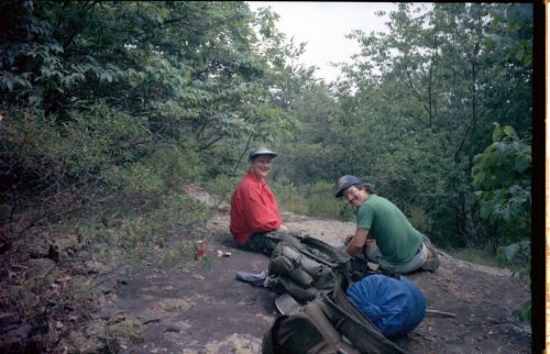
Spuds and Bus at Addis Gap

From the shelter register: “6 orgasms in one night on the picnic table. Candy & Lance 6/4/88”

We spent time laughing over bits in movies, like “Animal House”, “Monty Python”, etc.

6/11 Sat– Muskrat Creek Shelter NC 80.7

Left earliest today, but was noon passed by Spuds. First part of trail was brisk climbs and descents. Caught up to Spuds talking to a couple. She was tiny, but had a pack like mine. he was an army captain– had one lung removed due to a training accident, but after therapy he could do marathons and hikes. Spuds told me later the captain’s pack was HEAVY, around eighty pounds. After a Very long descent at Dickie Creek, Spuds and i parted company. He was quitting trail because of equipment dissatisfaction. (His feet were heavily blistered.) He planned to do trail in sections. Didn’t see Bus, but he had a stash buried at Dick’s Creek and would probably be moving slower. Met a couple hiking my direction with a dog (Alaskan type), going around 10 miles a day. They were quitting at Winding Gap. He had a pistol. She was from Damascus, and told me about their nice hostel.

Met two day hikers going in opposite direction, said trail was easy. HA! After some gradual ups and downs (a couple of patches of pines)(didn’t see much wildlife– lost in thought) came to climb at Courthouse, Bald Gap, and hardest section of trail so far. Really dragging by arrival at shelter at 6:30. OK after bath and food.

6/12 Sun– Big Spring Shelter 100.4

Good news: did 20 miles for first time today.

Bad news; Behind schedule for first time today. For some dumb reason I had twenty-four-plus miles scheduled. Between Wesser and Fontana I should fall further behind. Make it up in Smokies. (Ace the final.)

Tried, but couldn’t get out of camp before 7:40. Mostly flat or gentle trail until Albert Mountain, but laurel so thick I couldn’t see anything, including wildlife, so just walked. Passed three at Standing Indian Shelter going my way, but they still hadn’t finished packing. Saw man with two dogs, and a biker. no one else. Trail not as well maintained as in Georgia: overgrown trail, etc. Morning cool, a few gnats, and first mosquitoes sighted in afternoon. No clouds. No grasshoppers for first time all day.

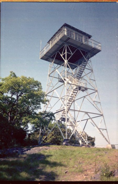
Albert Mountain tough climb, but fun. Surprise at top: fire tower! Very rickety. Tip top closed.

Fire tower at Albert Mountain

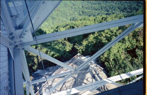
View down from fire tower

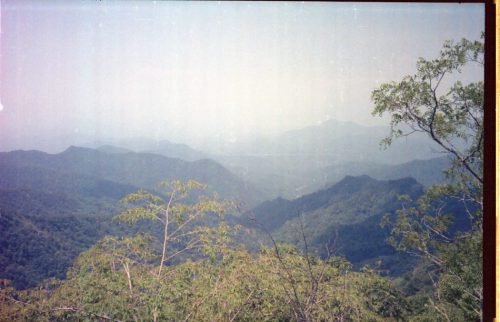
View from fire tower

Got into camp around six, not quite enough time for next shelter. May detour into Rainbow Springs Campground tomorrow to call folks and get more grub.

A youth group of about thirteen teens set up camp just out of sight of the shelter shortly before dark. Nice quiet bunch, ask questions to-and-from watering hole.

6/13 Mon– Wine Spring campsite 117.9

(Wrote KK, Steve, Faye, Tony,Diane. $21 food, gas, H20 tabs, cinnamon roll, cokes)

Broke camp at 6:45, a record. Youth Group still unconscious. Another group at Rock Gap Shelter also out. Tried walking into Rainbow Springs Campground only to discover I had started from Rock Gap instead of Wallace Gap. The gaps are just fifteen minutes apart, and Rock Gap has no identifying sign, like so much of Nantahala. Went to Wallace Gap and one mile down to Rainbow Springs Campground. A real Mom-and-Pop operation. No other visitors visible; dogs warned of my presence. Surprised Mom and Dad with early phone call, told of my progress. Boxes on way; Sushi fine. KK letter in Box 3. Aarghh! Lady in store real nice, came out to greet me. Small selection of groceries, but just exactly the things needed by hikers, even Scorpion (ed note: name of my model backpacking stove) butane! I was getting really low due to planning oversight. Got cinnamon roll to eat while writing a half-dozen postcards outside on picnic table. Back to trail, surprised grouse at five places on trail– what a humorous act they put on! Trail more challenging than yesterday, but I was really moving. Oh yes, twice groups stopped and asked me about my trip. Toward end of day, really low on water, with steep climb finally found Wine Spring. (Appropriate name to me!) And decided not to go on two miles to next campsite.

Challenging terrain tomorrow.

6/14 Tue– Campsite three miles from Sassafras Gap Shelter 141

(sub $4.00, food ~$4.00)

Started early– 6:40. Flushed three deer. Starting to get warm early in morning and no wind, so gnats a problem all day. Ate brunch at Cold Springs, up and down to Tellico Gap, where met father and two sons eating freeze-dried lunch (beef stew). They said tasted bad. I was invited to join them but continued on to Wesser Bald old tower for lunch.

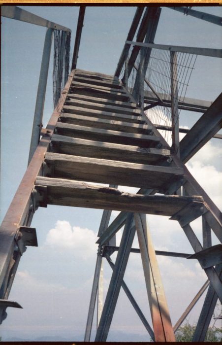
Wesser fire tower steps!

View from Wesser fire tower

Didn’t eat enough food either meal– this caused big problems later. On long, long descent to Wesser, met couple the earlier people warned me I would see. Real nice, getting off at Fontana. He had tried through-hiking with son, quit early.

The climb down seemed to never end and I was low on water. Finally around 4 came to campsite and shelter. Dad and six graduating senior staying at Rufus Morgan Shelter– rafting tomorrow, then quitting. Some down at Wesser. But I talked to two while re-hydrating. Down to Nantahala: incredibly busy and loud, with water, yells of kayakers, shuttle buses, UPS truck, tourists, Ben and Jerry’s Ice Cream truck.

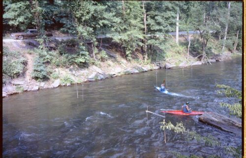
Kayaking at Nantahala

They claimed they didn’t have bunk available, so got groceries, sodas, checked out laundry but decided no, got sub at restaurant. Started on ascent without really enough water. Ate sub, coke, moved up. Planning to dry camp, but came upon campsite with undocumented spring (Yay!) at 7PM.

My feet hurt early today: 3:30 PM. Toughest terrain tomorrow.

6/15 Wed– Cable Gap Shelter 158.9

Last night fireflies came out around 10 and gave a little magic show. A few buzzed around all night. Then some birds sang out. Late at night heard a nerve-rattling “AAOAR! AAOAR! AAOAR!” then squeaking, then the same call further away. I figure it was some type of owl out hunting.

Next day: up and down, up and down, very steep, hard on knee. Both knees complaining for first time on trip because of long descent yesterday. Saw three out with butterfly net, met Scout troop and through-hiker laying on trail after Stecoah Gap. I went on.

Very very very steep climb now. Through-hiker, Aussie caught up with me during 3PM foot-break. Rob, great guy, 70 pound pack! Really in shape. He joined me rest of day– me slow on downhill, knee painful now, and him slow on uphill due to pack. I estimated we would get to shelter by 6; we got there at 7, absolutely exhausted. Scouts must have mis-estimated distance and had to dry camp. This was the hardest day physically on trip. From map, Smokies don’t look so easy. May need to spend R&R day.

Hard to sleep; my tossing and turning must have annoyed Rob.

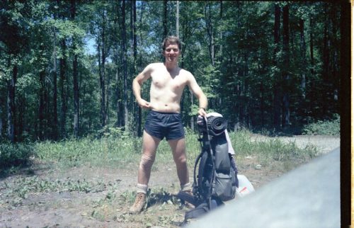
Rob, 45, sleeveless shirt, used to work in outback. We came across huge fat black snake in middle of trail. I jumped over it. “You’re game, aren’t you?” He wouldn’t jump. In Australia, any color snake can kill you.

Related Posts:

AT 1988 Trip Plan

“No battle plan ever survives contact with the enemy.”

Field Marshall Helmuth Carl Bernard von Moltke

No trip itinerary survives more than a few weeks on The Trail, either, but make one anyway.

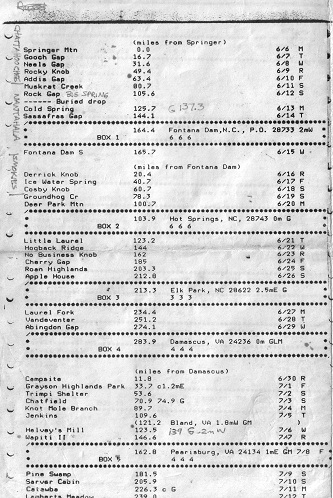
Behold one page of my 1988 thru-hike trip plan.

AT 1988 Trip Plan page 1

The complete itinerary is included below in searchable text format. Soon my 1988 trail journal will be posted, so you can see how closely I followed the plan.

(miles from Springer)
Springer Mountain 0.0 6/6 M
Gooch Gap 16.7 6/7 T
Neaes Gap 31.6 6/8 W
Rocky Knob 49.4 6/9 R
Addis Gap 63.4 6/10 F
Muskrat Creek 80.7 6/11 S
Rock Gap 109.6 6/12 S
(Buried drop)
Cold Spring 125.7 6/13 M
Sassafras Gap 144.1 6/14 T
BOX 1 164.4 Fontana Dam, NC PO 28733 2mW
Fontana Dam S 165.7 6/15 W
(miles from Fontana Dam)
Derrick Knob 20.4 6/16 R
Ice Water Spring 40.7 6/17 F
Cosby Knob 60.7 6/18 S
Groundhog Cr 78.3 6/19 S
Deer Park Mtn 100.7 6/20 M
Box 2 103.9 Hot Springs, NC 28743 0m G
Little Laurel 123.2 6/21 T
Hogback Ridge 144 6/22 W
No Business Knob 162 6/23 R
Cherry Gap 185 6/24 F
Roan Highlands 203.3 6/25 S
Apple House 212.8 6/26 S
Box 3 213.3 Elk Park, NC 28622 2.5mE G
Laurel Fork 234.4 6/27 M
Vandeventer 251.2 6/28 T
Abingdon Gap 274.1 6/29 W
Box 4 283.9 Damascus, VA 24236 0m GLM
(miles from Damascus)
campsite 11.8 6/30 R
Grayson Highlands Park 33.7 c1.2mE 7/1 F
Trimpi Shelter 53.6 7/2 S
Chatfield 70.9 74.9 G 7/3 S
Knot Mole Branch 89.7 7/4 M
Jenkins 109.6 7/5 T
(121.2 Bland, VA 1.8mW GM)
Helvey’s Mill 123.5 7/6 W
Wapiti II 146.6 7/7 R
Box 5 162.8 Pearisburg, VA 21334 1mE GM 7/8 F
Pine Swamp 181.5 7/9 S
Sarver Cabin 205.9 7/10 S
Catawba 226.3 c G 7/11 M
Lamberts Meadow 239.0 7/12 T
Box 6 248.8 Cloverdale, VA 24077
Wilson Creek 261.4 7/13 W
Cove Mtn 274.3 7/14 R
Thunder Hill 290.2 7/15 F
Johns Hollow 307.5 7/16 S
Brown Mtn Creek 325 7/17 S
The Priest 347 7/18 M
Box 7 351.7 Tyro, VA 22976 1.2mE G
Maupin Field 360 7/19 T
Waynesboro motel 377.7 7/20 W
(miles from Rockfish Gap)
Blackrock Hut 20.1 7/21 R
Hightop Hut 41.5 7/22 F
(Lewis Mtn Campground 53.1 GLC .1mW)
Rock Springs Hut 65.4 7/23 S
Pass Mtn Hut 80.4 7/24 S
Tom Floyd Wayside 103.5 7/25 M
(miles from Front Royal, VA)
Box 8 6.8 Linden, VA 22642 0m
Manassas Gap 10.6 7/26 T
Rod Hollow 24.2 7/27 W
Keys Gap 47.8 7/28 R
(Harpers Ferry, WV, ATC HQ)
Crampton Gap 64.6 7/29 F
Box 9 64.2 Burkittsville, MD 21718 1.2mE G
Hemlock Hill 7/30 S
(PA-MD line 94.7)
(miles from PA-MD line)
Tumbling Run 7.8 7/31 S
Birch Run 27.0 8/1 M
Moyers Campground 47.6 8/2 T
Darlington 70.3 8/3 W
Box 10 82.1 Duncannon, PA 17020 0m GLM
Peters Mtn 92.5 8/4 R
Rausch Gap 109.8 8/5 F
Hertzlein Campsite 129.9 8/6 S
Port Clinton 148.4 8/7 S
Box 11 148.4 Port Clinton, PA 19549
Allentown Hiking Club 172.8 8/8 M
George Outerbridge 191.4 8/9 T
Leroy Smith 208.1 8/10 W
Box 12 227.9 Delaware Water Gap, PA 18327 0m RGLM
(miles from DW Gap)
*** *** motel 8/11 R
Brink Rd 24.5 8/12 F
High Point 44.1 8/13 S
campsite 67.6 8/14 S
Box 13 (motel) 89.5 8/15 M
William Brien Mem. 101.2 8/16 T
Dennytown Rd campsite 124.6 8/17 W
Morgan Stewart 144.1 8/18 R
Webstuck 160.5 8/19 F
(CT-NY line) 161.4)
(miles from CT-NY line)
Mt Algo Lean-to 11.0 8/20 S
Box 14 11.3 Kent, CT 06757 .5mE GLM
Dark Entry 24.3 8/21 S
Pine Knoll Lean-to 41.8 8/22 M
Bond Lean-to 58.4 8/23 T
Glen Brook 67 8/24 W
Mt Wilcox Lean-to 86.1 8/25 R
Box 15 93.0 Tyringham, MA 01264 0.0m L
October Mtn Lean-to 108.1 8/26 F
Bassett Brook campsites 132.1 8/27 S
(VT-MA state line) 145.9
(miles from VT-MA state line)
Congdon Camp 10.0 8/28 S
Story Spring 32.9 8/29 M
Mad Tom 52.4 8/30 T
Greenwall 73.3 8/31 W
Box 16 75.2 Wallingford, VT 05773 3.5mW GLM
Governor Clement 87.1 9/1 R
Stony Brook 104.7 9/2 F
Cloudland 122.5 9/3 S
Box 17 137.5 Hanover, MA 03755 0.0m GLM
Velvet Rocks 139 9/4 S
Smarts Mtn 161.7 9/5 M
Jeffers Brook 184 9/6 T
Kinsman Pond 202.7 9/7 W
Mt Guyot 223 9/8 R
Box 18 (motel) 246.6 Mt Washington, NM 03589 9/9 F
Osgood tentsite 255.2 9/10 S
Rattle River 277.9 9/11 S
(Gorham, NH) 279.5 G 1mE 9/12 M
(ME-NH line 0.0)
(miles from ME-NH line)
Carlo Col 0.5 9/13 T
Frye Notch 19.9 9/14 W
Elephant Mtn 39.9 9/15 R
Piazza Rock Lean-to 62.2 9/16 F
Spaulding Mtn Lean-to 78.5 9/17 S
Box 19 91.1 Stratton, ME 04982 5mW GLM
Horns Pond Lean-to 96.4 9/18 S
Jerome Brook Lean-to 109.9 9/19 M
Pleasant Pond Lean-to 133.4 9/20 T
Breakneck Ridge Lean-to 153.9 9/21 W
Box 20 162.9
Old Stage Road Lean-to 167.1 9/22 R
Cloud Pond Lean-to 185.5 9/23 F
Logan Brook Lean-to 208.8 9/24 S
Potaywadjo Sp Lean-to 231.5 9/25 S
(Abol Bridge 264.5 G 0m)
Daicey Pond 271.8 9/26 M
Baxter Peak 279.0 9/27 T

For my 2012 long section hike to attempt Trail Completion, I am using a spreadsheet with some useful features for revisions. I’ll cover that in a later post.

Notes:

  • Trip plan was composed on a text editor running on a home-brew PC compatible with 8088 CPU, printed on an Epson MX80 dot matrix printer, and then reduced to half-size on a copier. Editor was see.exe (bundled with the Desmet C compiler) which I still sometimes use today.
  • Trail miles are given from state borders and other landmarks as noted because the Appalachian Trail Data Book 1987 presented miles that way, not cumulative miles from Springer.
  • When depending on mail drops, as I was, be certain to add day-of-week to your trip plan. Arriving at a post office on Sunday may result in disappointment. Now with some post offices having reduced hours on Saturday this is even more of a factor. On the other hand, you will diverge from your original schedule eventually, so be aware.
  • Although I didn’t get as far as New Hampshire, I now realize that I over-estimated how far I could walk each day on that section of the trail. Pay attention to large daily elevation changes.