HDT 2022 Day 28, April 28, Thursday
Start Coyote Valley Road S9 mile 58.5
End S10 mile 14.1 plus 0.8 mile on trail reroute
Miles walked: 22.7
Buckskin Gulch changed suddenly upon entering the fee area, with no small rocks, the addition of low grasses, and most significant of all curvy unfractured rock faces.
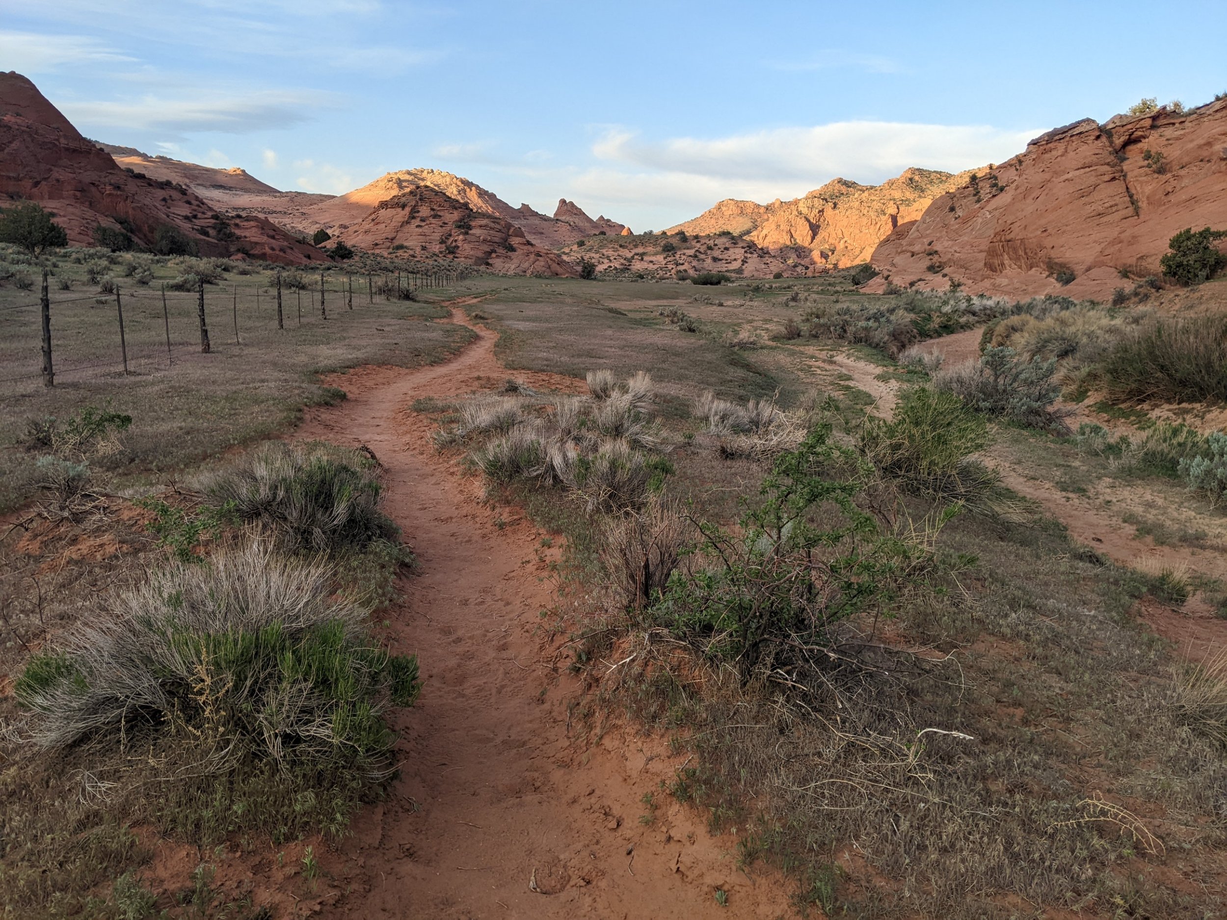
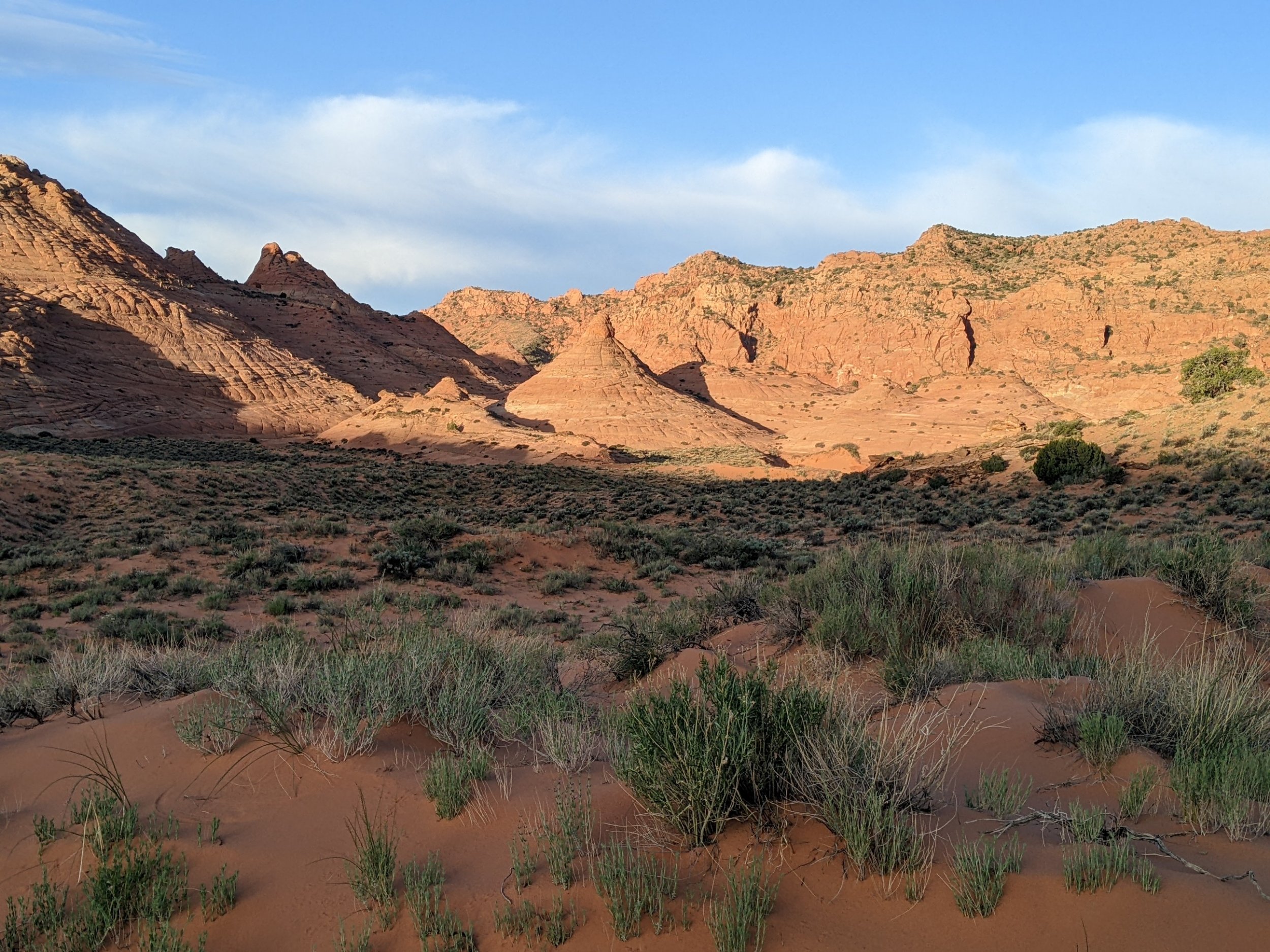
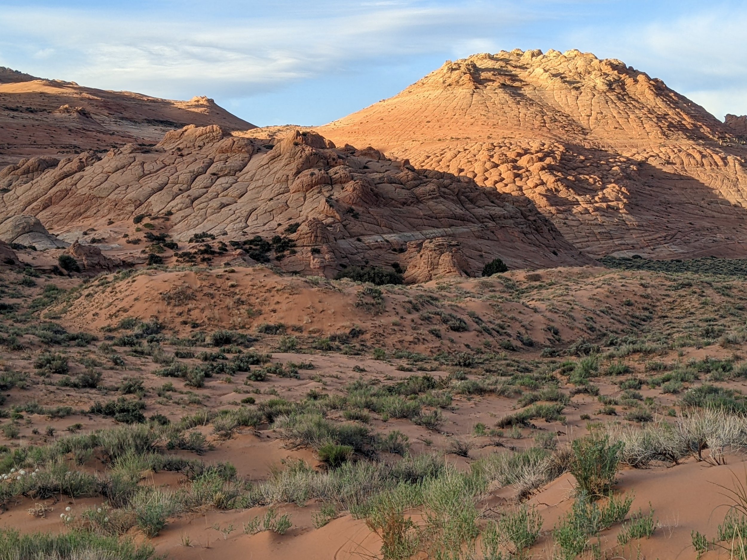
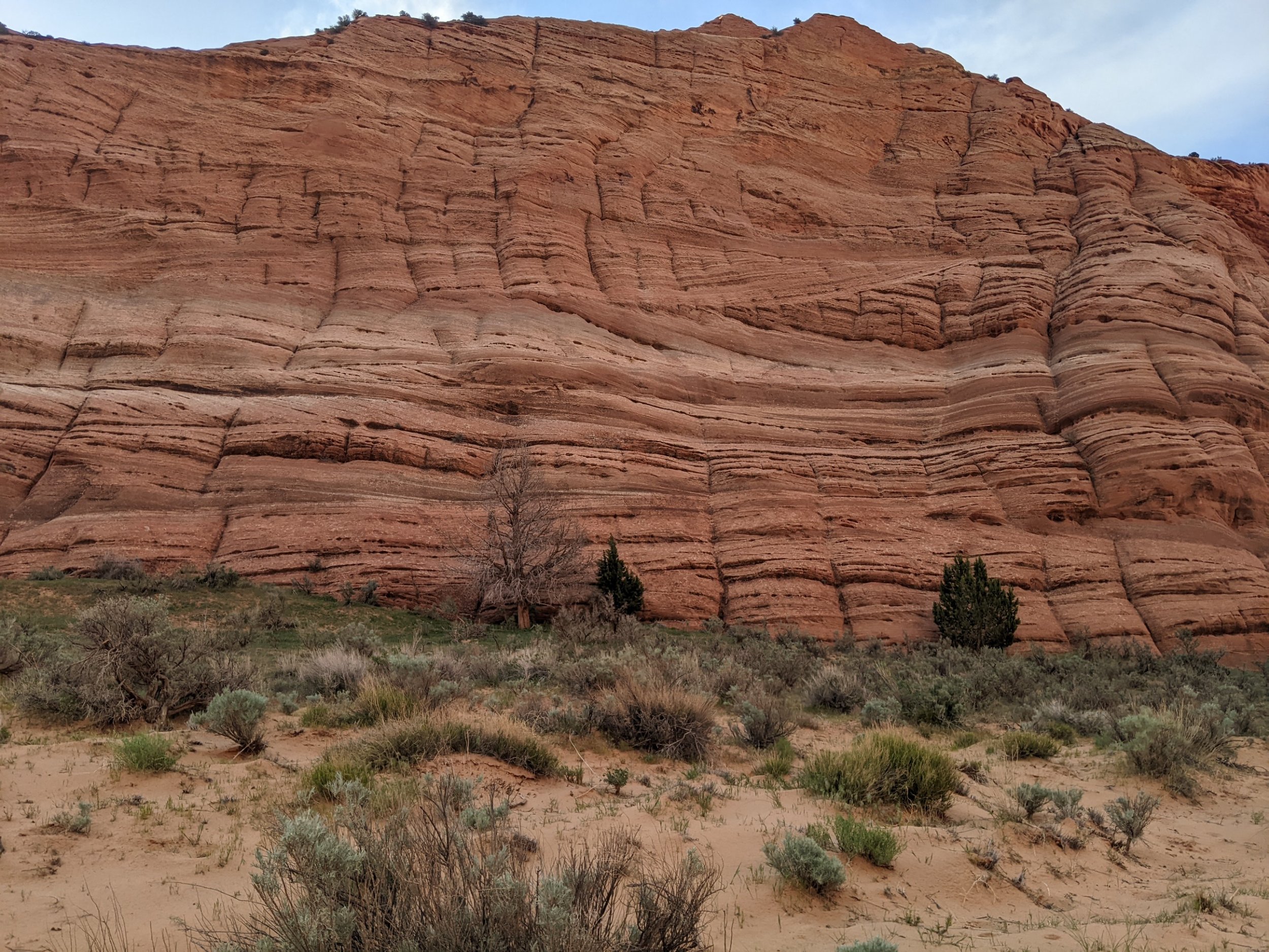
The gulch enters a narrows, and several day-hikers start to mingle, from another trailhead.
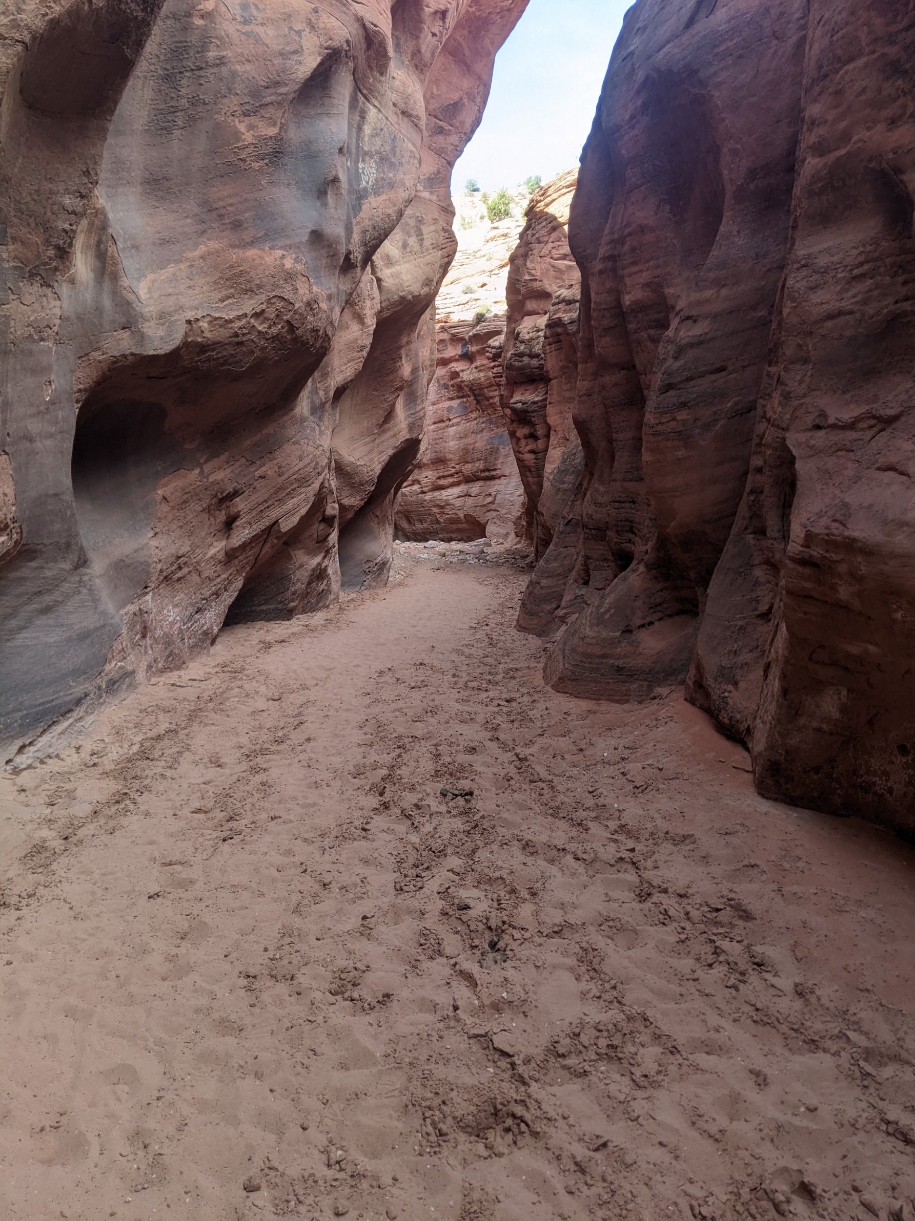
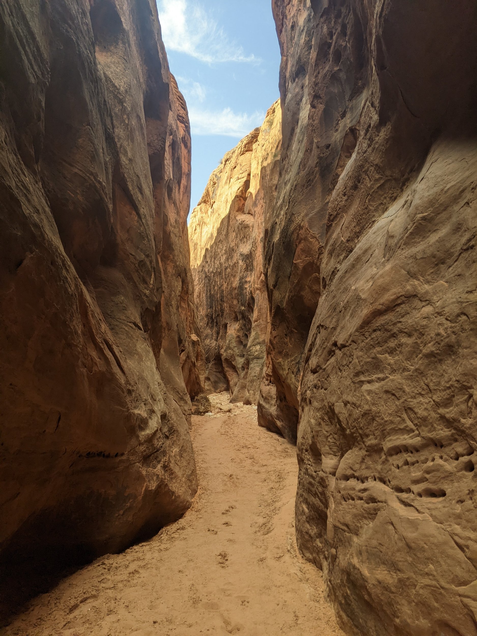
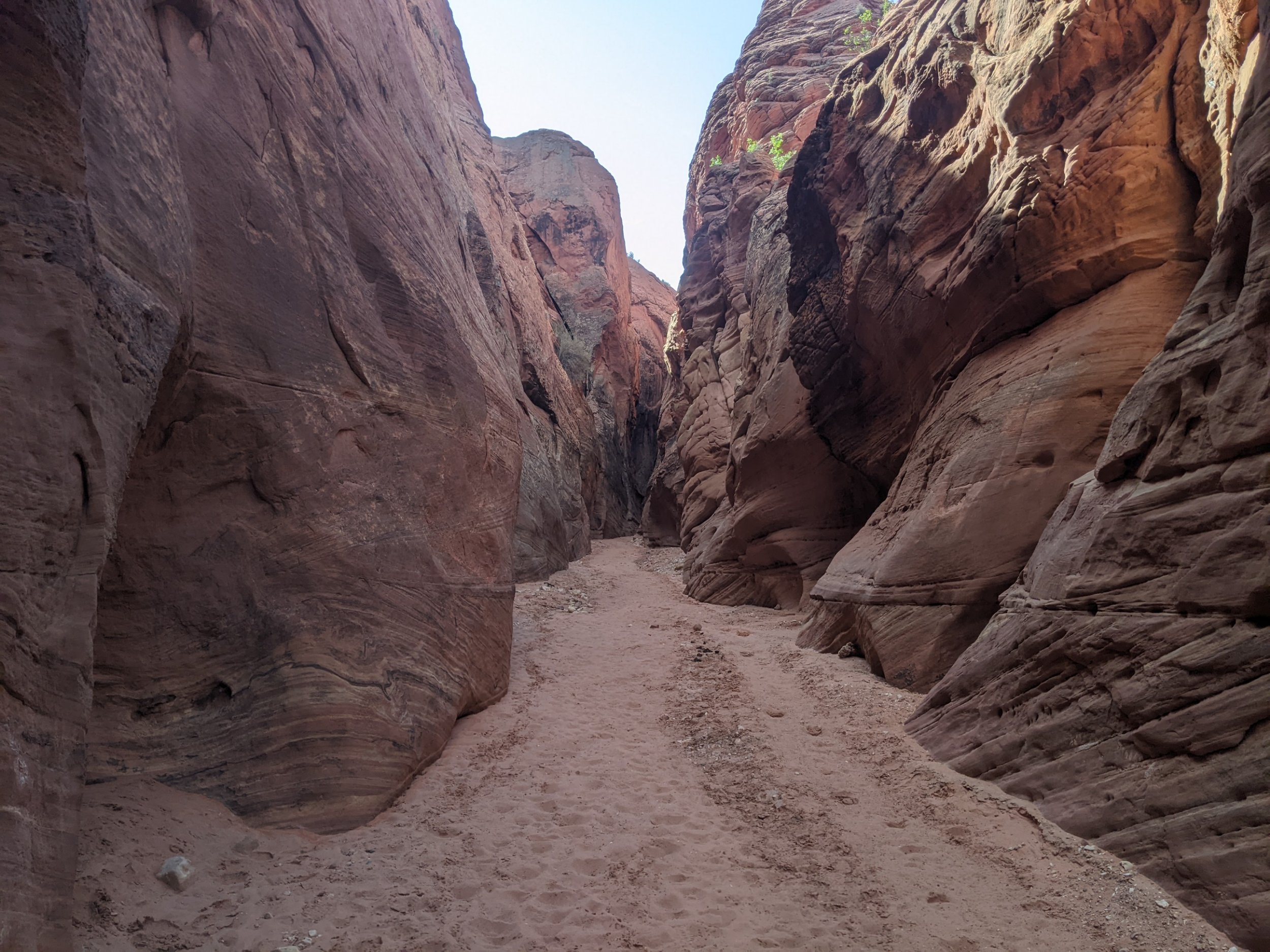
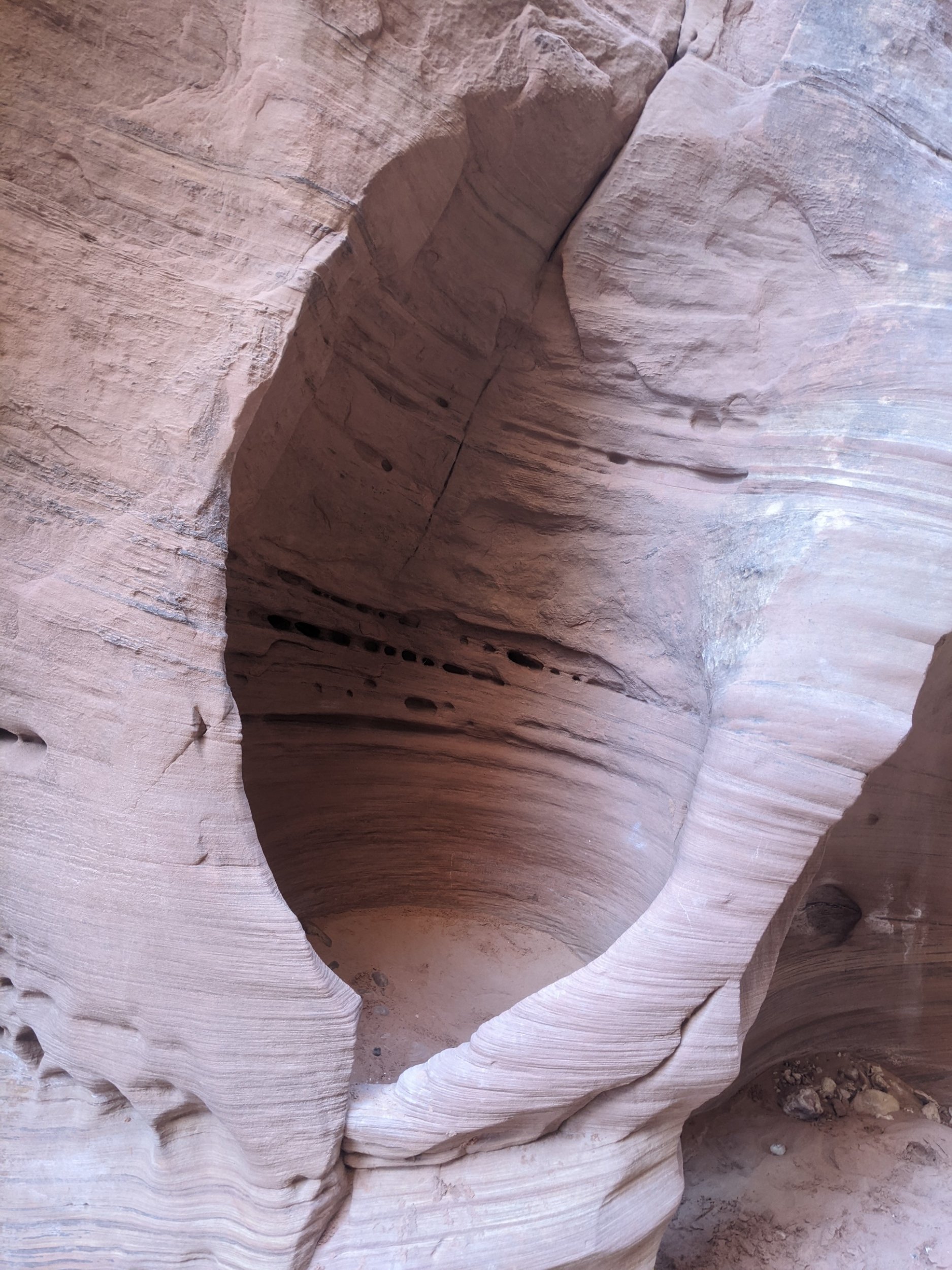
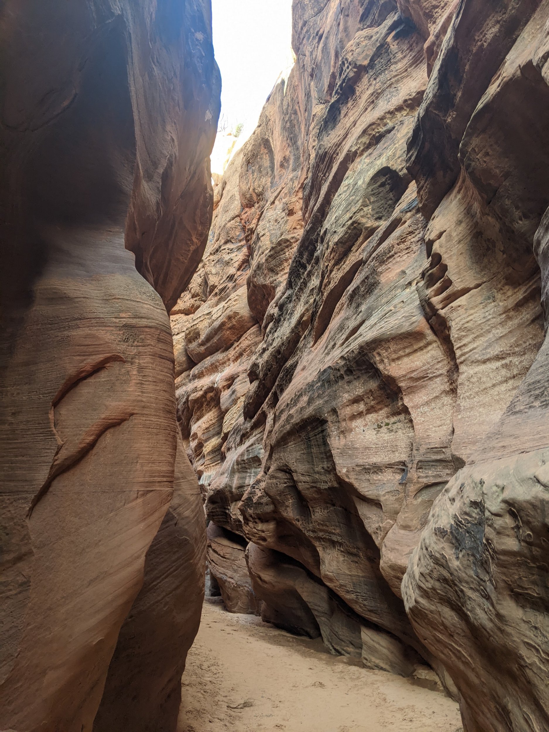
I did find a pool of water, but the taste was odd. My route turns to the Wire Pass narrows, and petroglyphs appear.
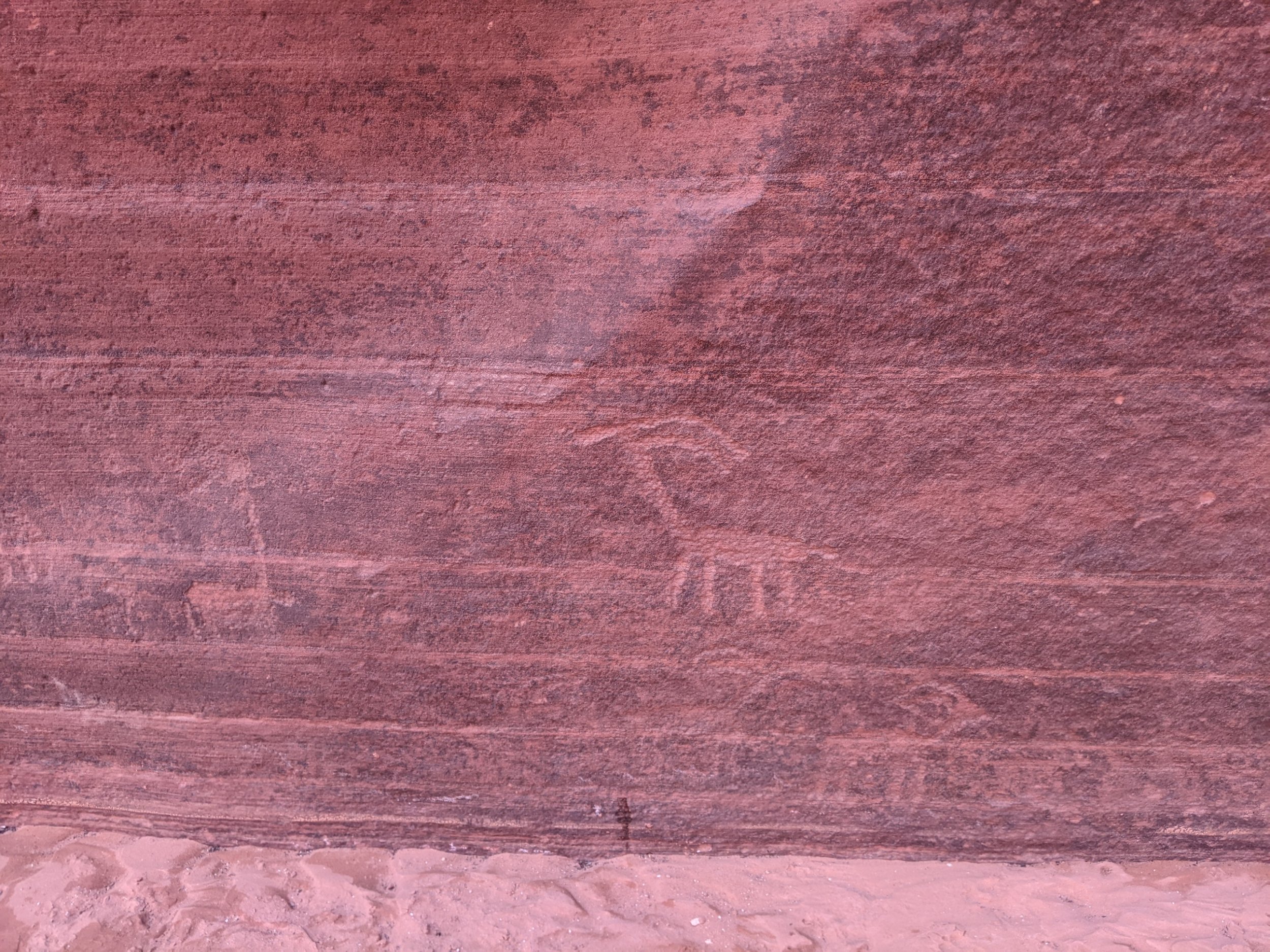
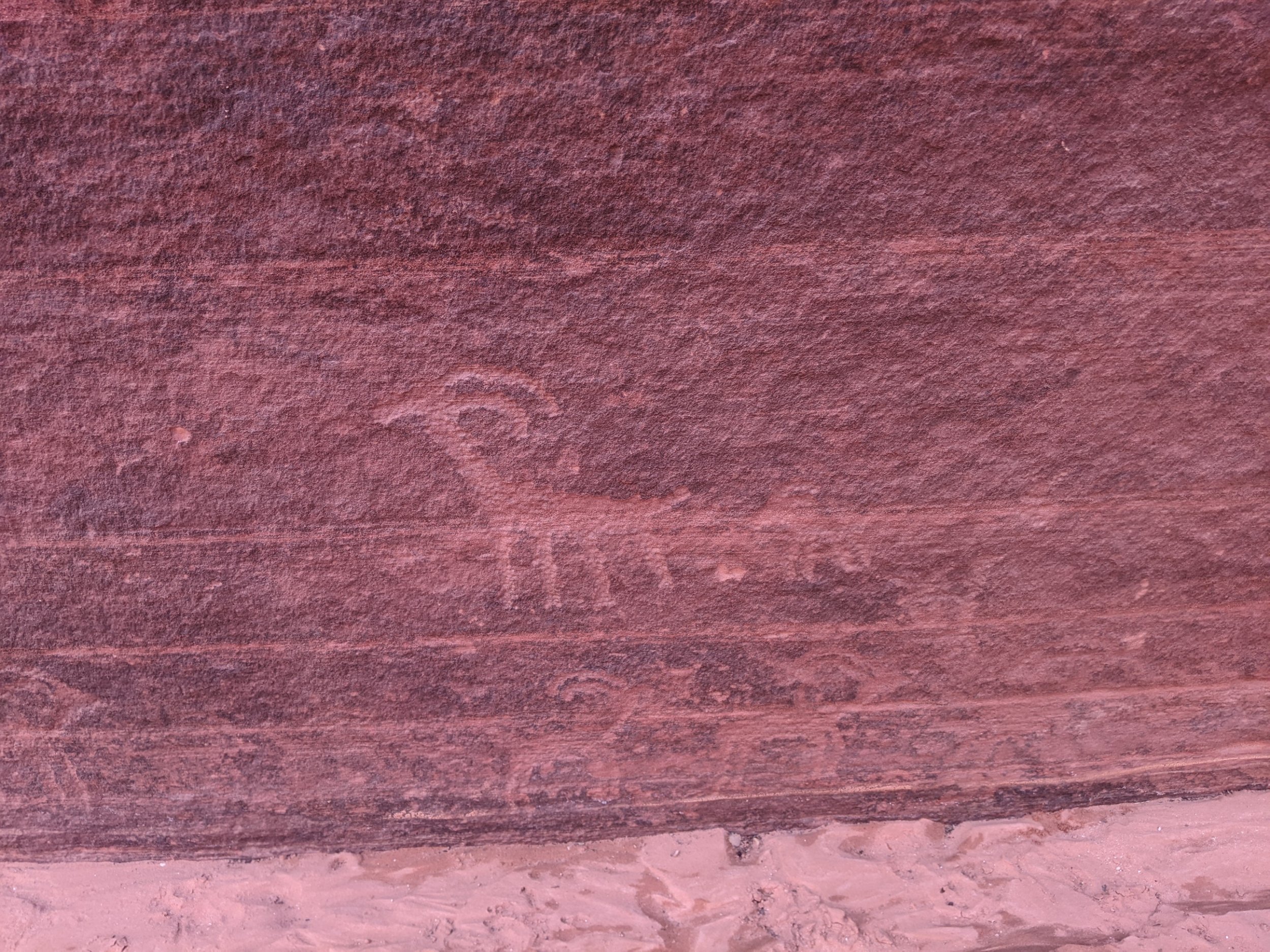
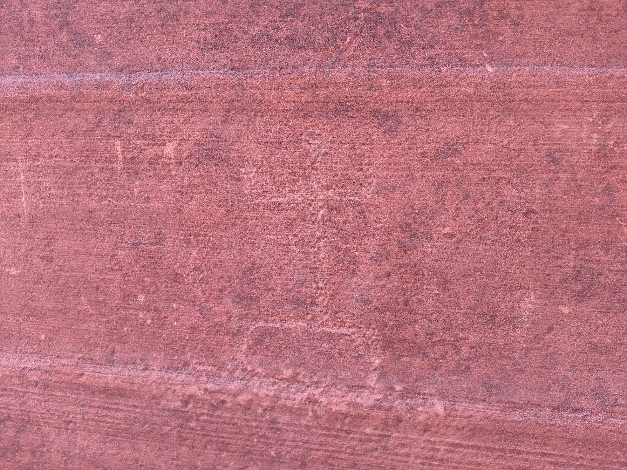
The narrows here added a ladder over a pour-off.
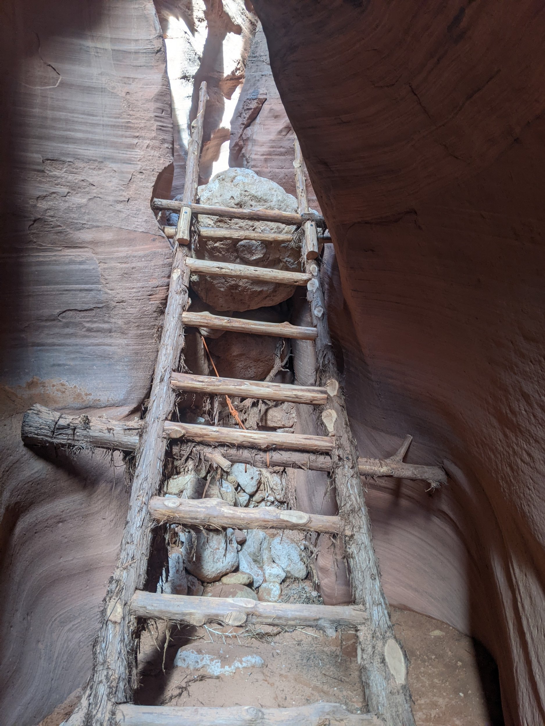
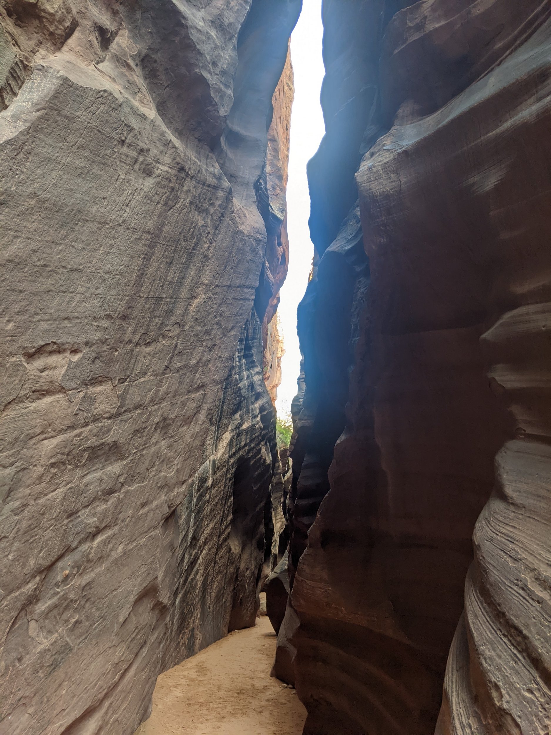
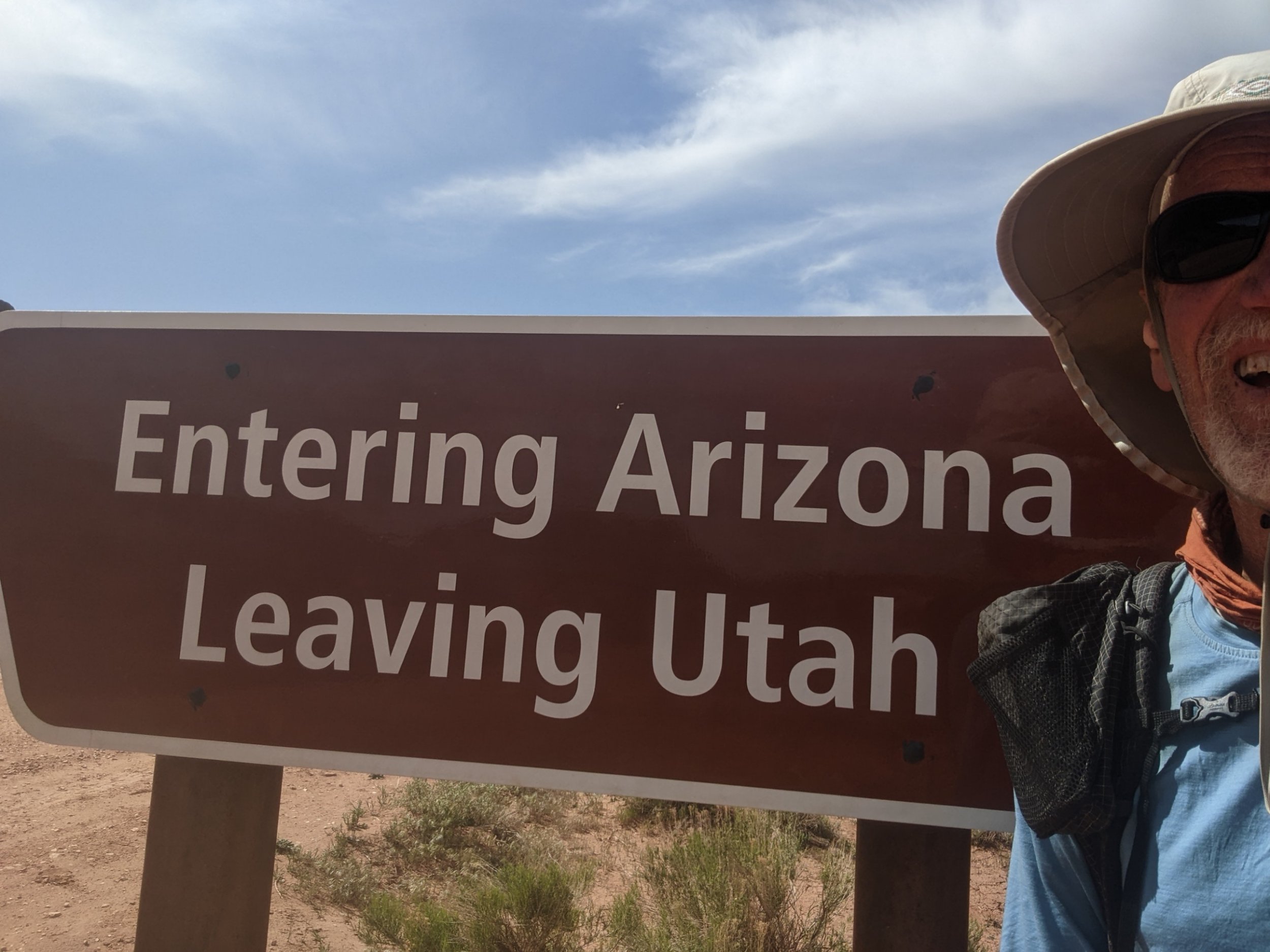
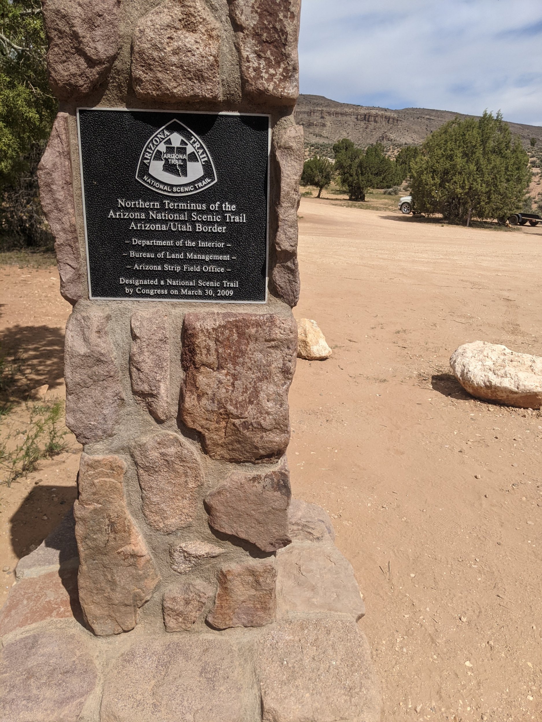
Exiting the narrows, a hike down Coyote Valley Road brings me to Stateline Trailhead, into Arizona, the northern terminus of the Arizona Trail, with a campground full of pleased mellow hikers who just finished their trail. Also, someone left water for hikers, the only good water I would find all day.
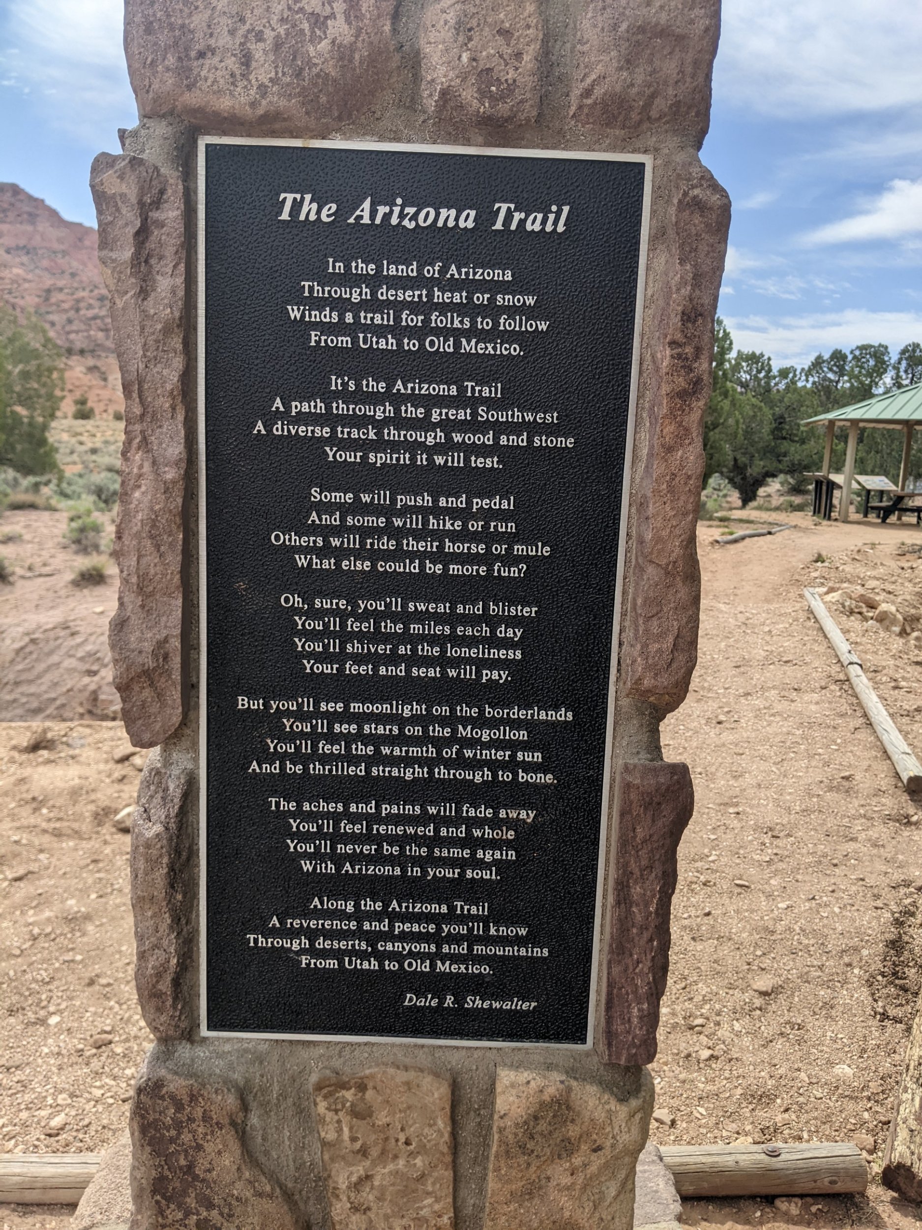
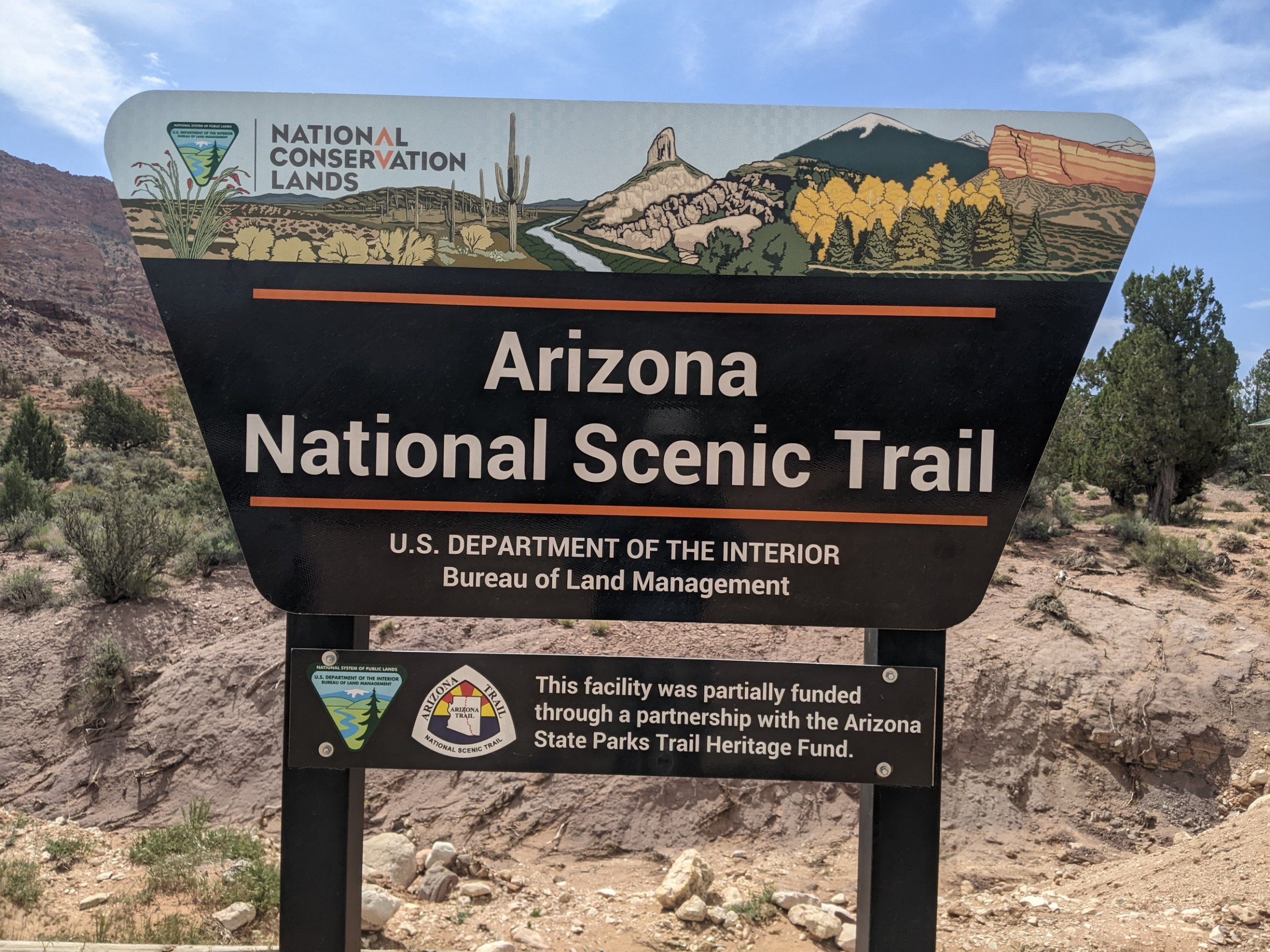
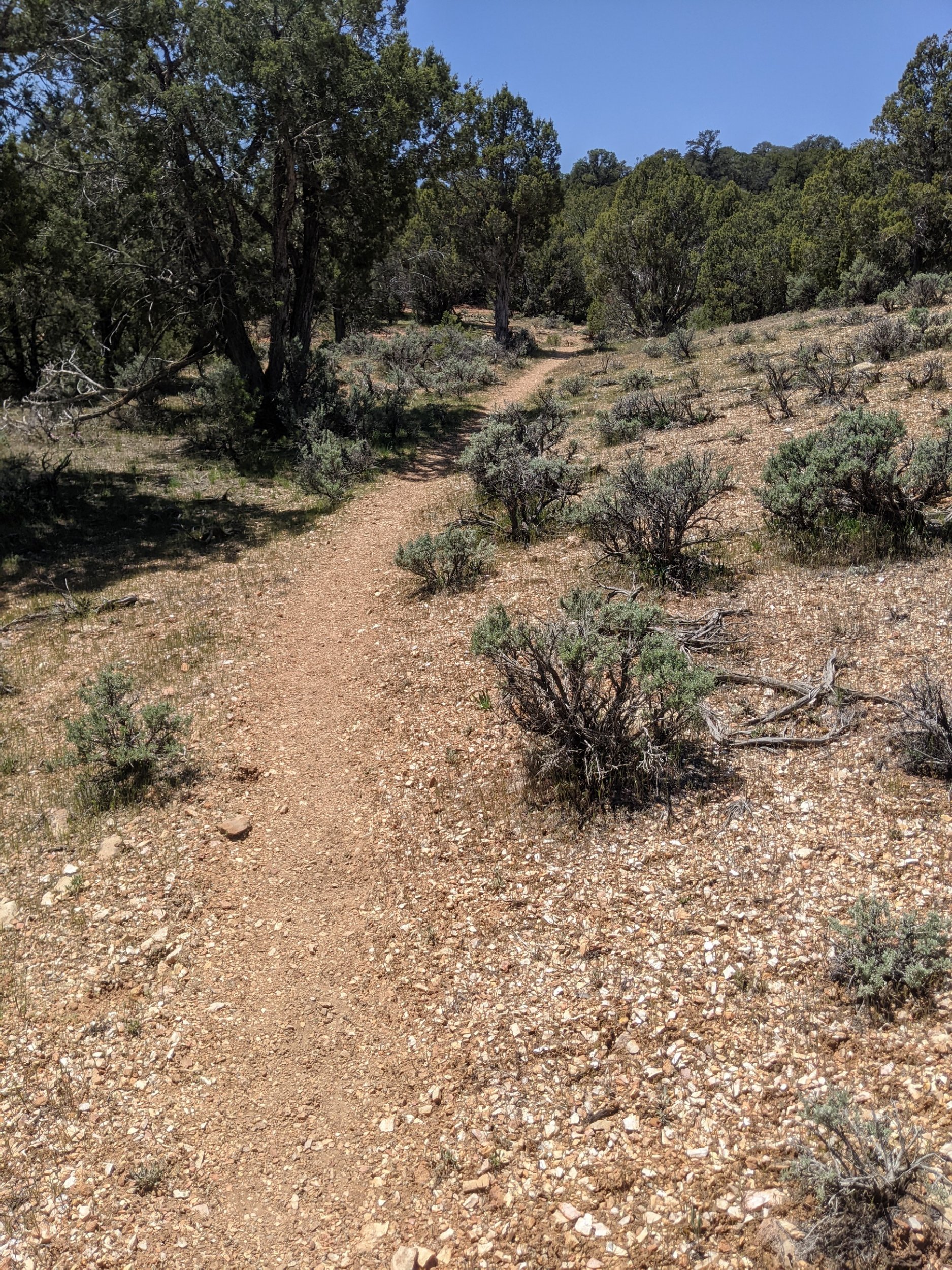
Now my route joins the Arizona Trail, with high quality constructed trail all the rest of the day, to climb up a plateau and stay along it, in the Kaibab National Forest. Several AZT hikers pass by.
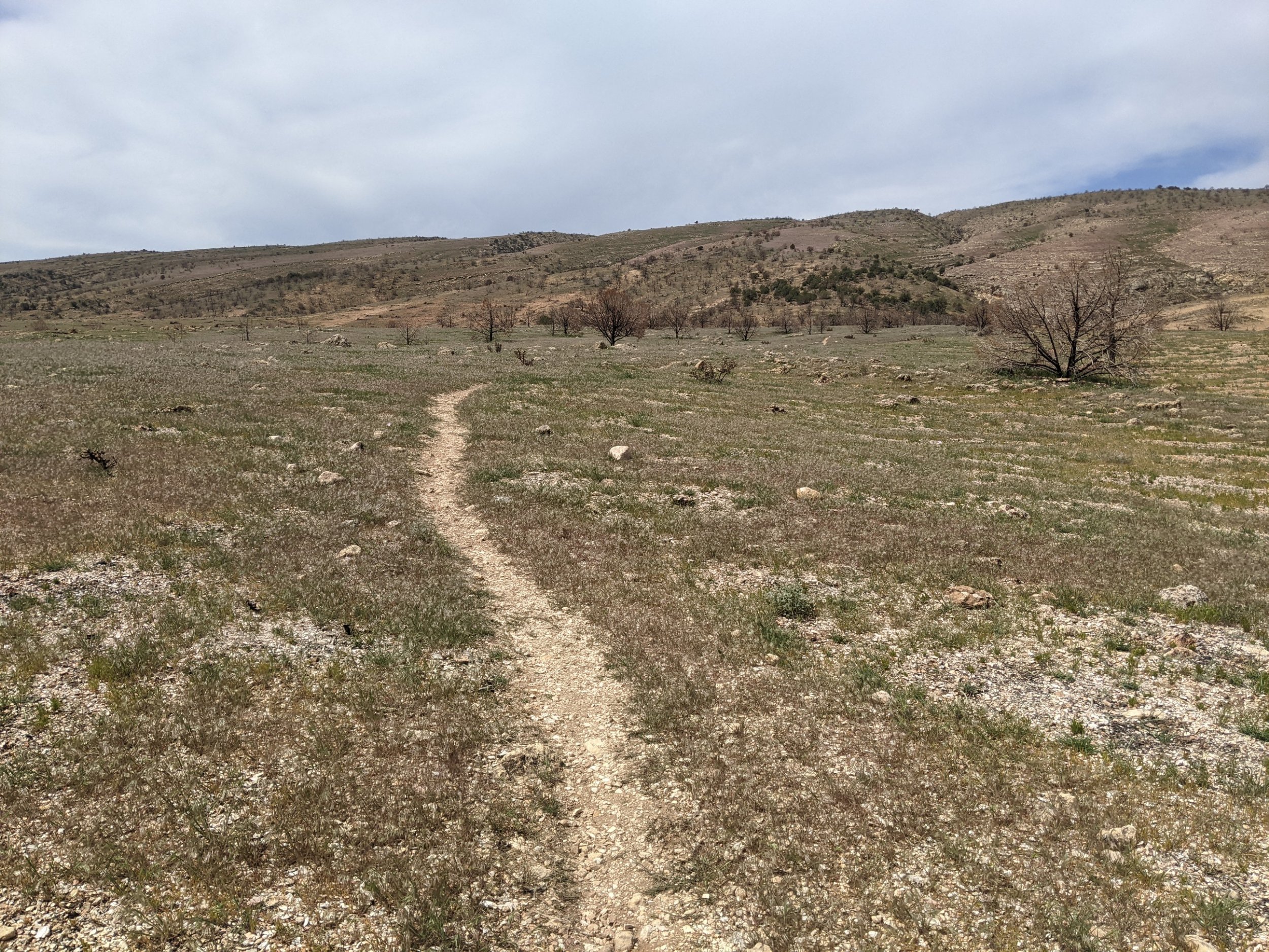
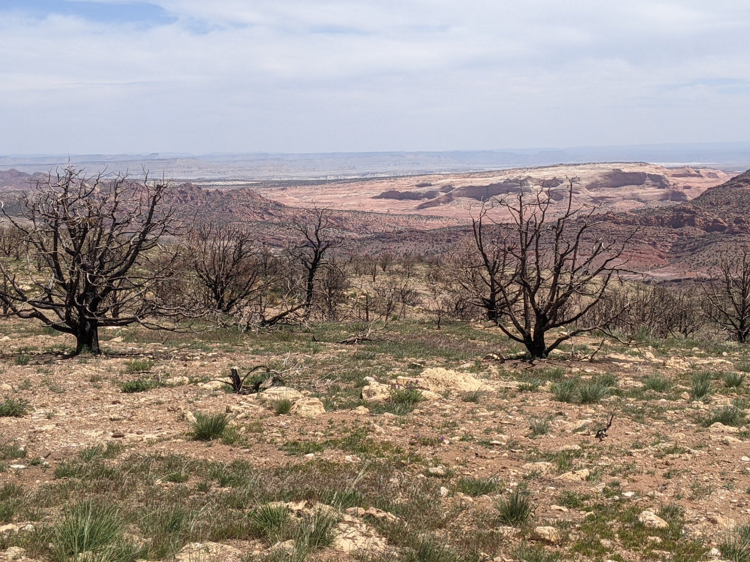
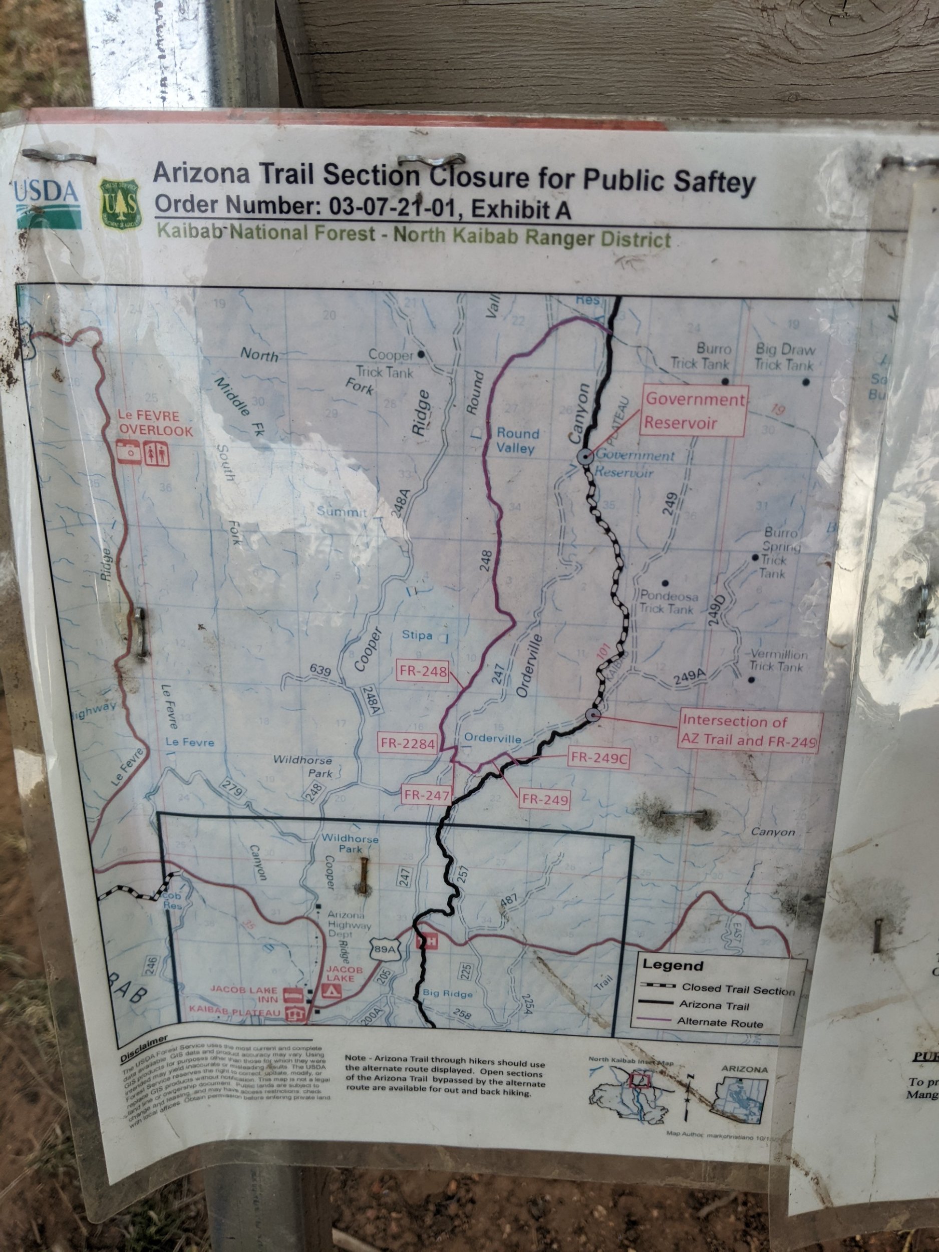
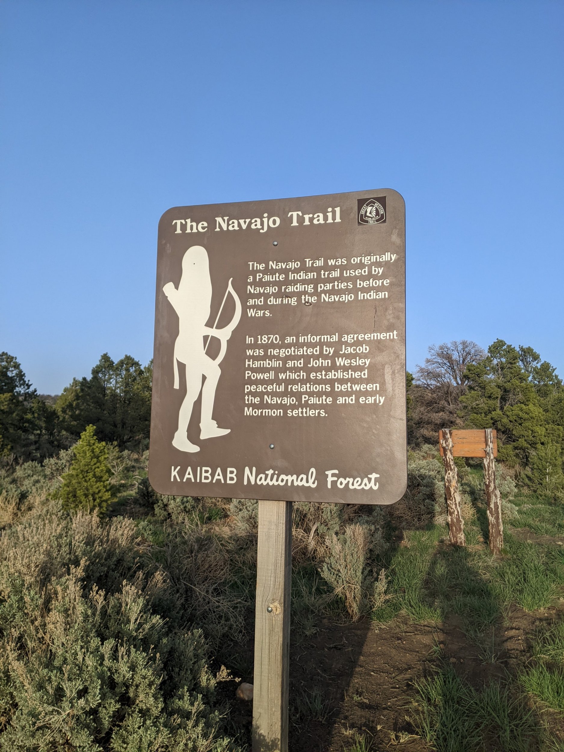
Toward the end of the day, a reroute due to an older fire takes me briefly on the Navajo Trail and then on forest road.
Finished audiobook Carry On, Jeeves, by P G Wodehouse.