- CT Hike Day 4, July 3, Monday
- Start: S5 mile 10.6, CT mile 67.7
- End: S6 mile 14.3, CT mile 86
- Miles walked: 18.3
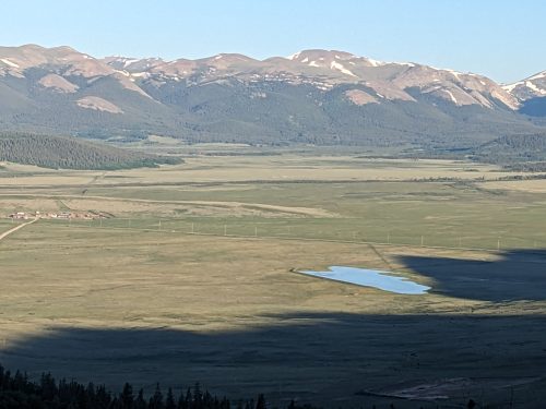
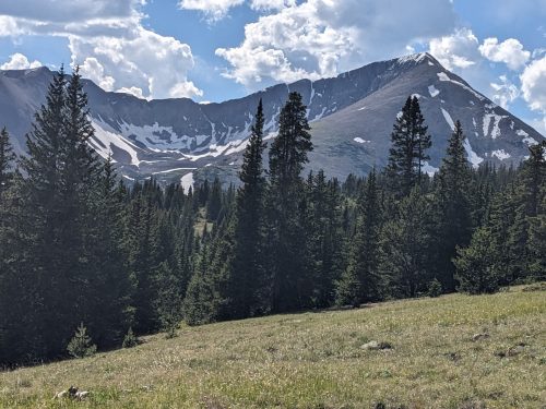
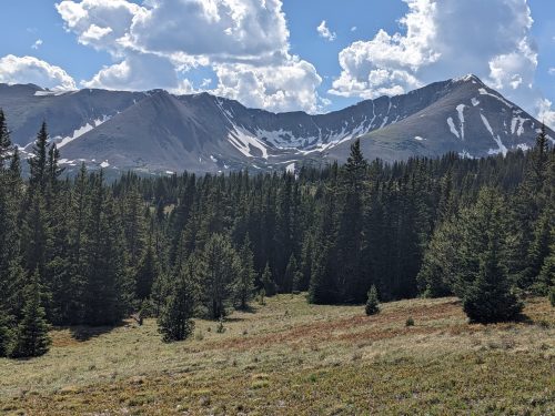
During a short descent into Kenosha Pass, I could see snow-capped mountains ahead. I was told later that the pass is famous for its aspens during fall colors, quite busy with visitors.
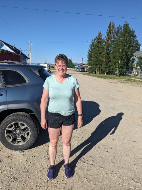
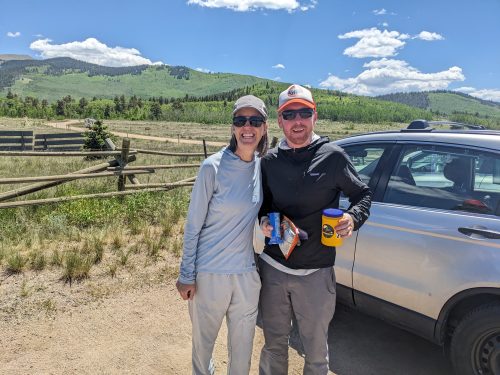
My hitch 5 miles into Jefferson for a resupply box took 20 minutes of gentle persuasion to strangers. Here is the trail angel who helped me out.
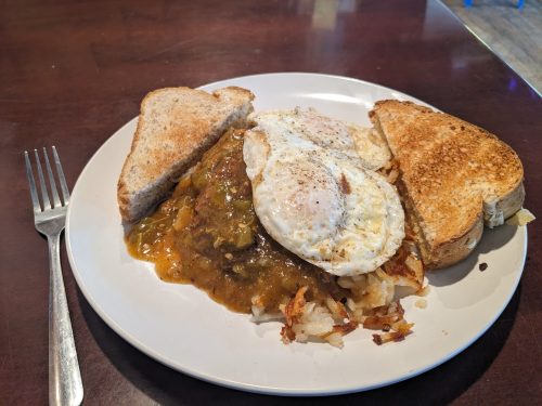
Jefferson Market is friendly to hikers, with booths available for charging and packs allowed inside, and free wifi. They also operate a short-order grill, which brings in a lot of customers. With charging and organizing and updating, and chatting with hikers Flaps and GoodCat, I spend the whole morning there, treating myself to breakfast and early lunch. They have green chile!
Jackrabbit comes in with trail angel Crystal, who offers me a ride back to the pass– a problem solved. Jackrabbit calls a place in Breckenridge to reserve a room with a good rate, a triple, and asks if I want to join. When along the trail, say “yes” to opportunities, and I do.
We hike a little together, and meet Jen the Rock Lady again, who is in search of a better trail name, and we discuss ideas.
Jackrabbit soon outpaces me, but I walk with Jen a bit. Jackrabbit needs a long break near a creek, so I go on.
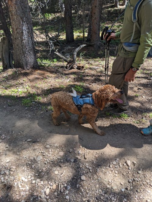
The human of this golden-doodle hiked the CT back in 2009, and proposed to his wife at San Luis pass. (As a hiker, he considered the weight of the ring as they hiked up the pass, but knew she would have to carry the weight the rest of the hike.)
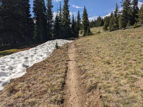
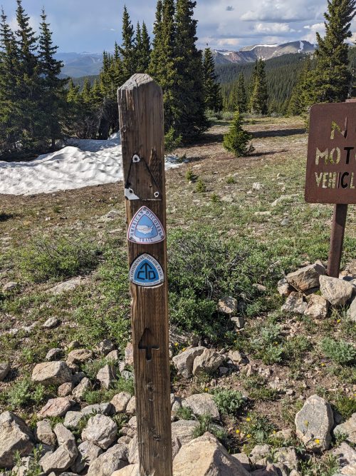
I ascend up to Georgia Pass solo, 11.9k and fine views.
Just beyond the pass the trail joins up with the Continental Divide Trail.
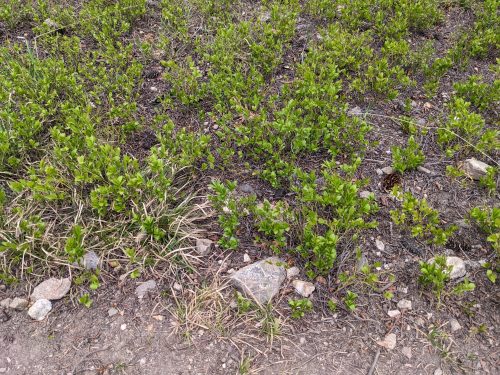
I start the descent, eager to find a campsite at a lower altitude for a warmer night, and to get low enough that I do not disturb fragile sub-alpine growth.
I get to a good spot as rain starts, and Jackrabbit passes by, determined to go lower.