PCT 2018 Day 68, June 29, Friday.
Start mile 1464.6, campsite near creek
End mile 1496.1, last campsite before interstate crossing
Miles walked: 31.5
The walk begins with a few miles along steep slopes following Trough Creek, with a crossing at a bridge. 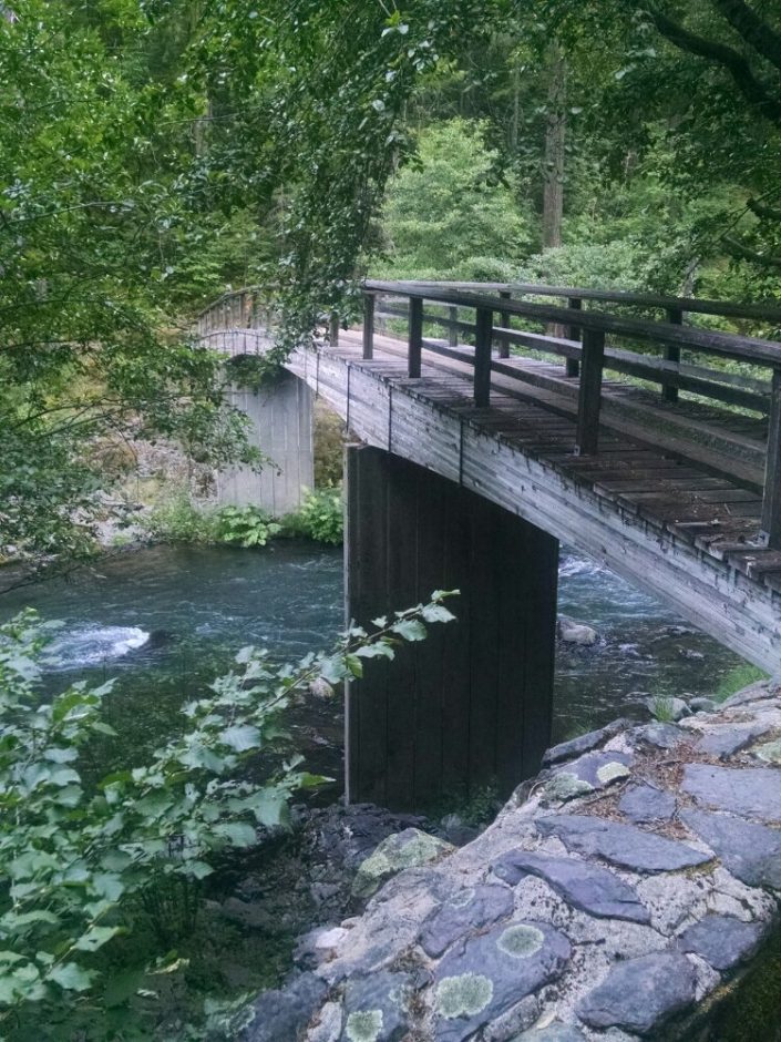 Then the trail uses a repurposed abandoned road. I was hoping for more of this– a pleasure to walk.
 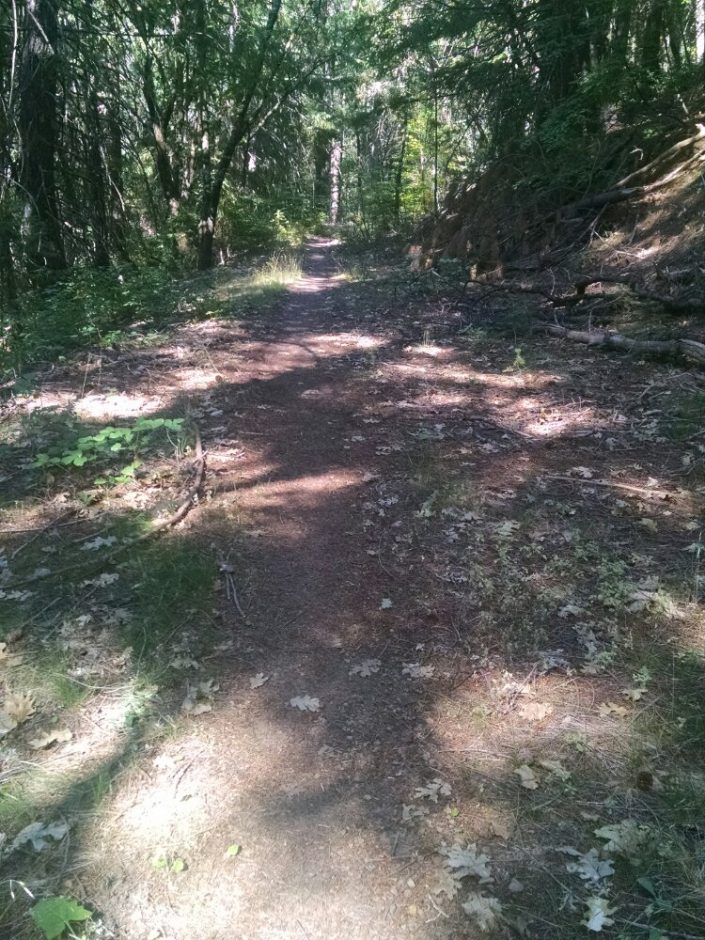 Then more steep slopes along Squaw Valley Creek, with another crossing.
 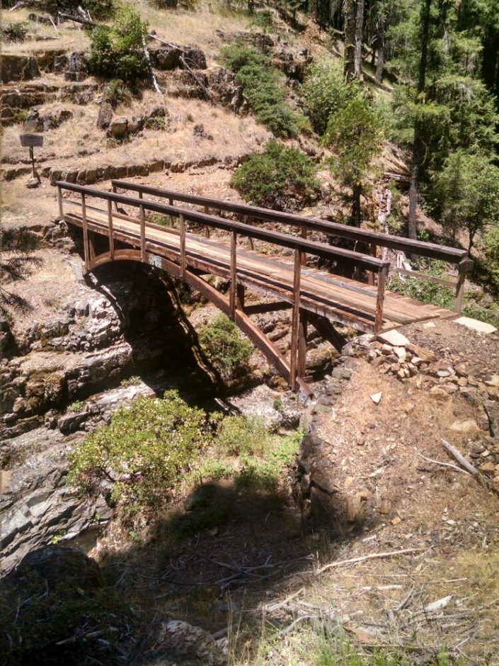 The bridge had deep pools of water at the bottom– so tempting to jump in. I later learn that Salty did jump in here!
I come across the big surprise for the day, a one foot diameter patch of smouldering pine needles along the trail, with a cigarette filter, with a gentle breeze to keep it growing, near plenty of kindling.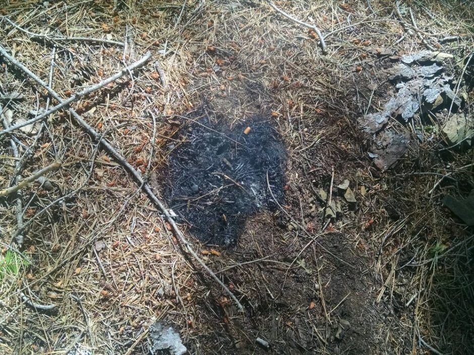 I try to put it out with all my remaining water, but the fire is stubborn (like burning old horse manure back home). You keep stirring it around looking for hot spots, and another one appears that you had missed.
The next water was six miles away.
I get a view of Castle Crags, an impressive rock formation we will get closer to tomorrow, at a state park. 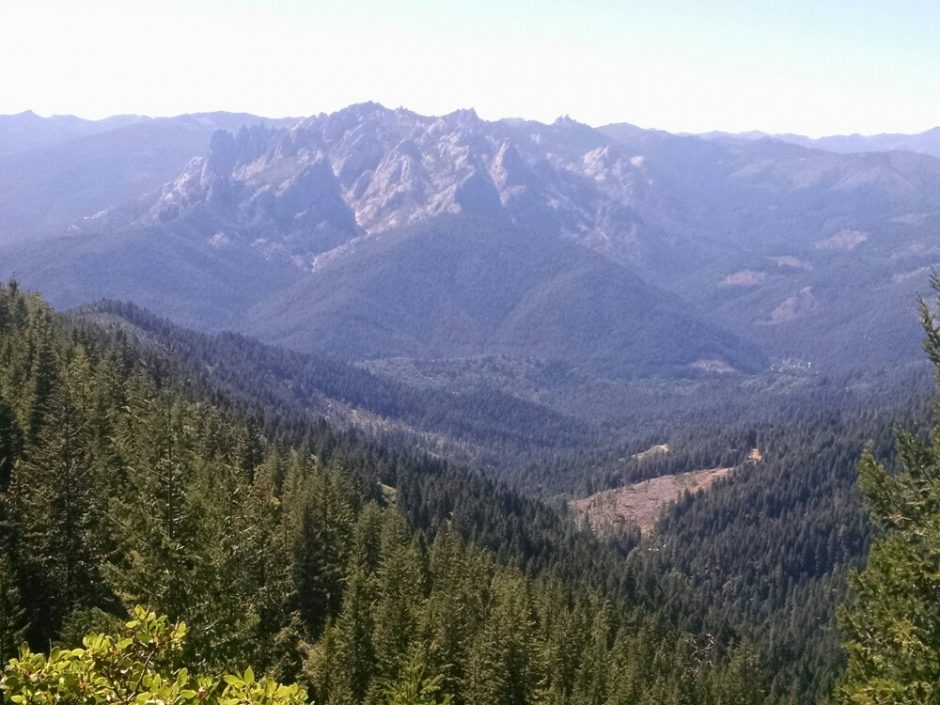 Here is an example of clear-cutting right up against the PCT. I did not think they would get this close.
 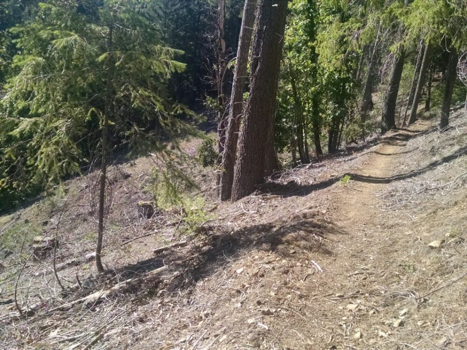 The slopes for this logging are really steep, which must be a challenge for loggers.
 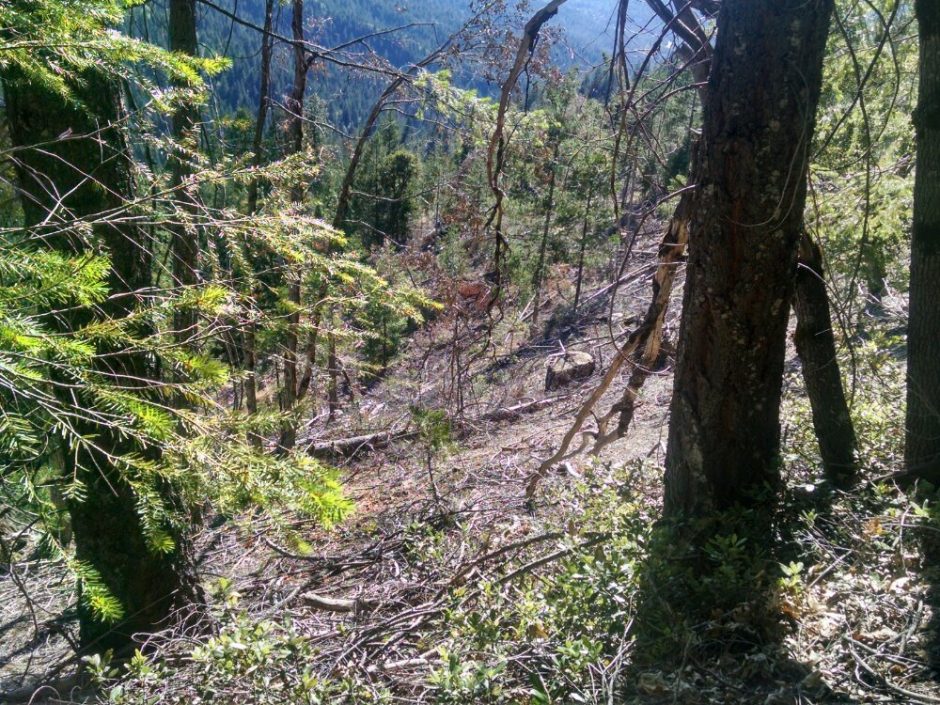 I see Salty at the next to last campsite to the interstate, and we try to coordinate contacting the same trail angel to get a ride into town in the morning. He did not see Wifey, and I have not seen him today since breaking camp. Puzzled.