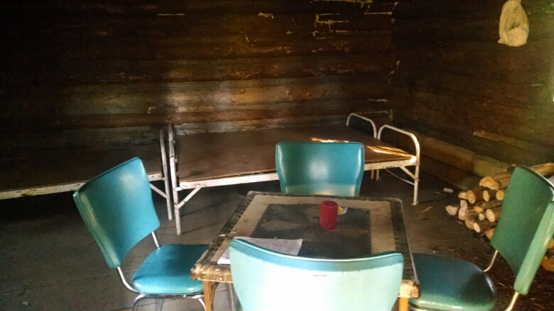
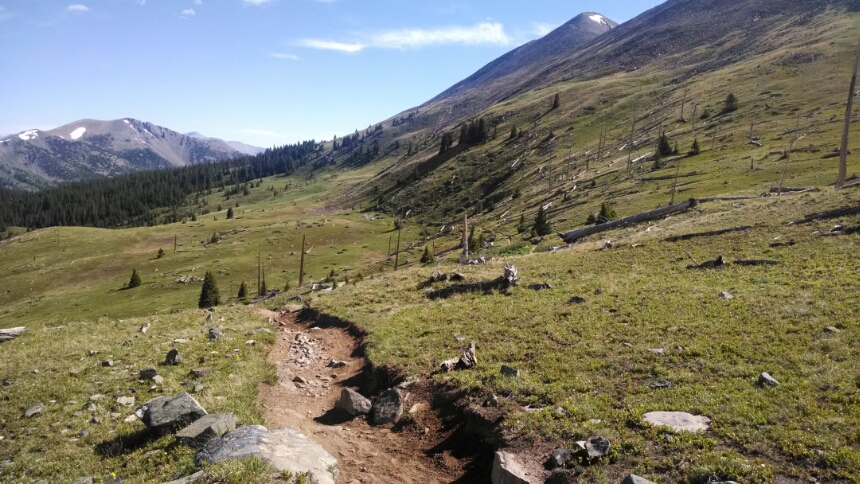
More winding down the collection of tree-enclosed rocky trails known as Summit Trail, then down to the pass. Following directions in my databook guide, the cabin appears.
Just a few feet from the parking area, most people do not know it exists. Dark, only three bunks, no amenities such as a propane lantern, but free, first-come, first-served. Looks fun for snow-mobile season.
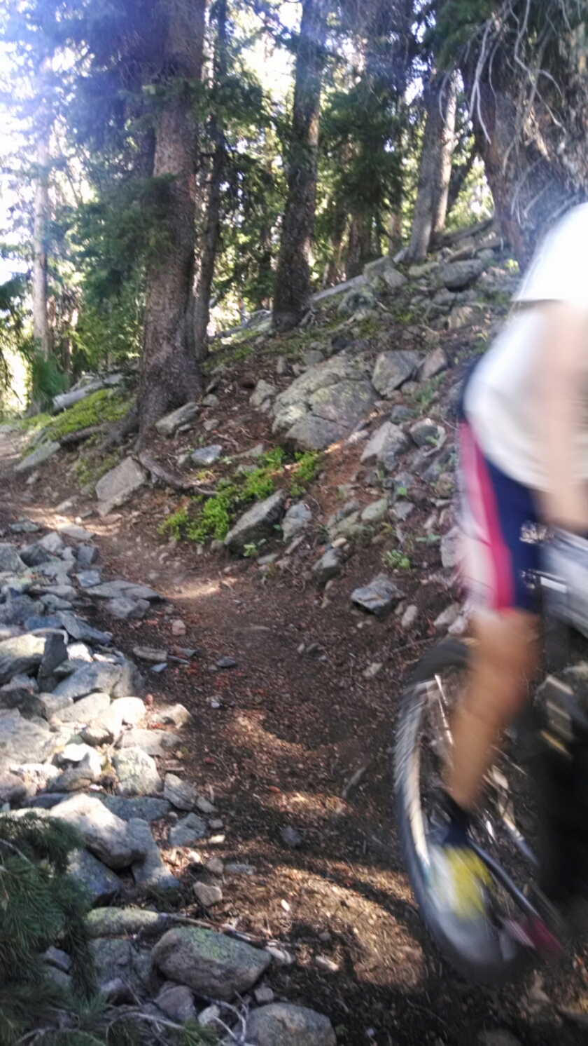
A group of five trail-runners, staying in a pack, started up the path. One, an older gentleman, paused to let me know this was a popular trail for mountain bikes, then ran on to join the group.
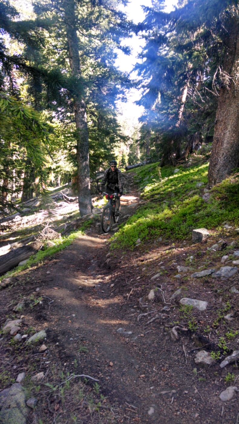
When the first bike arrived the path was enclosed by trees and winding, so you could not really see far ahead and had to step out of the way quickly to let her pass.
All riders were invariably polite and called out greetings and thanks for me stepping aside. I could usually see them before they saw me, since they had to concentrate on rocks and turns.
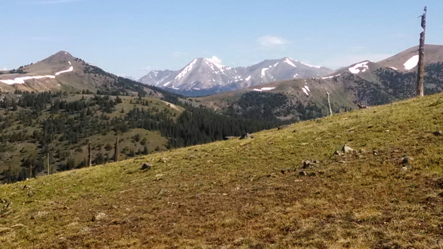
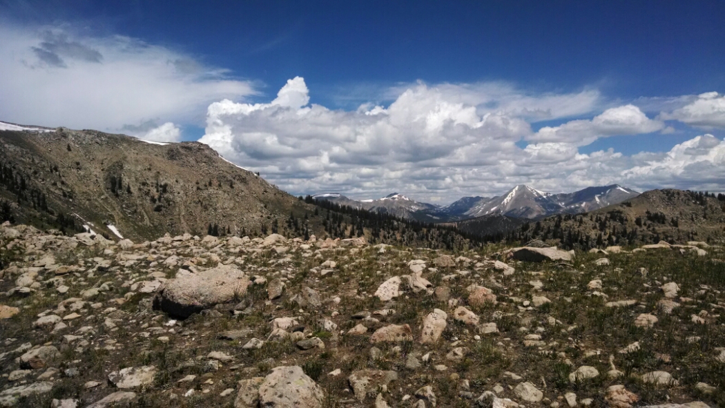
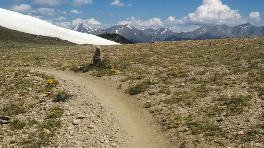
Toward the summit we leave the trees behind, and snow-kissed peaks are all around.
This is the Colorado I have missed for a few days! This is the hike I signed up for. (Well, it cannot all be San Juans, so this hiker should really prepare mentally for when future sections of the trail are more like other states.) So now here are some views that gave me such joy today.
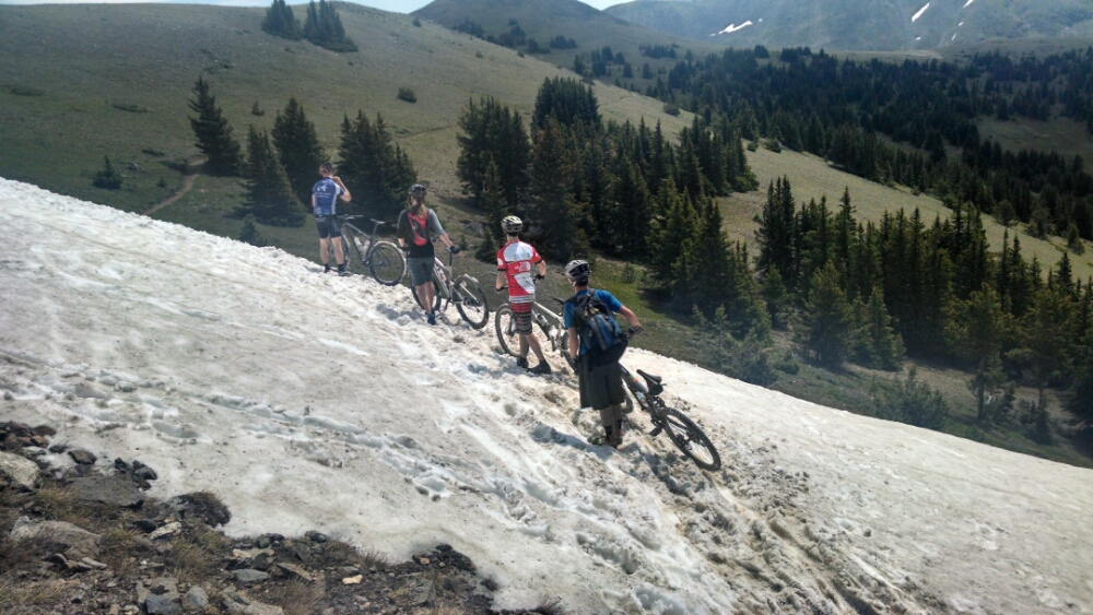
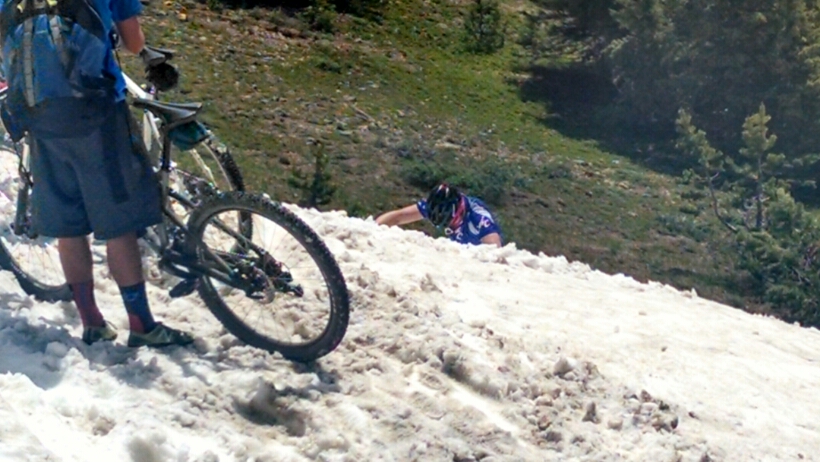
One one snow field I had just walked the long way around, I saw a group of cyclists approach it from the other direction, where they met a really steep drop-off in their path.
One cyclist had to climb down the snow and catch the bikes as they let them slide down, then the riders could slide down after them.
After a hundred riders had flown past I started calling out their number as they went by. Number 110 and friend must have been out for a quick jaunt, because they came back the other direction, called out their numbers, and asked if I give new numbers if they pass again. (Yes, I do.) He works at a bike shop in town, and knew that rangers stood sometimes with a clicker next to the trail, counting bikes, but he liked the idea of someone counting out numbers and wanted to know when I started up the path.
The final count was 134.
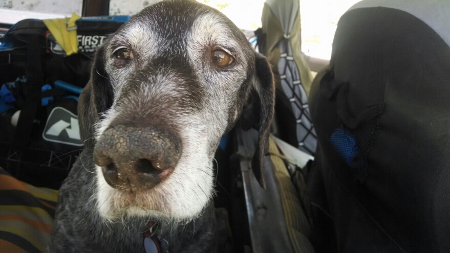
The hitch down from Monarch Pass was easy, car number 4, after raising my sign. Alex was out with dog Grover on a camping trip, and since Grover was so old, thirteen, it would probably be his last camping trip.
My hitch had a hitch! My ride thought he was going my way, but it turned out he goes off highway 50 just before Salida. So he lets me out and I have to hitch again five miles outside of town, where drivers do not expect to see hikers. After 20 minutes, with rain threatening, a road angel comes along and drops me near the hostel.
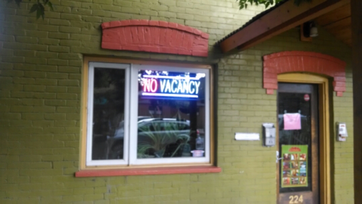
Which has a “no vacancy” sign and no one is answering the door.
In sprinkling rain I hide under a tree and start dialing other hotels in town. Being July 4 weekend, everything appears full up. One hotel manager suggests I try the next town over, which really makes me nervous.
As a guest enters the front door of the hostel, I ask if she knows if the manager is around, since I had a package shipped there (to avoid long-weekend postal jail for general delivery packages that have to wait until the post office opens on Monday). she kindly fetches the manager, who shows me to my supply shipment– whew! She explains a small party has rented the entire hostel this weekend, so no hikers. She invites me to continue calling inside, out of the rain. Just as I had resigned myself to just grabbing a shower at an RV campsite and going right back up the pass without sleeping a night in town, I finally find a chain hotel with a room.
Complications are that the hotel laundry room is unavailable, so a trip to a nearby laundromat is necessary By the time everything is clean enough for town, including myself, the parade has already started. I had hoped to attend, since NO2 was expected to be in the parade.
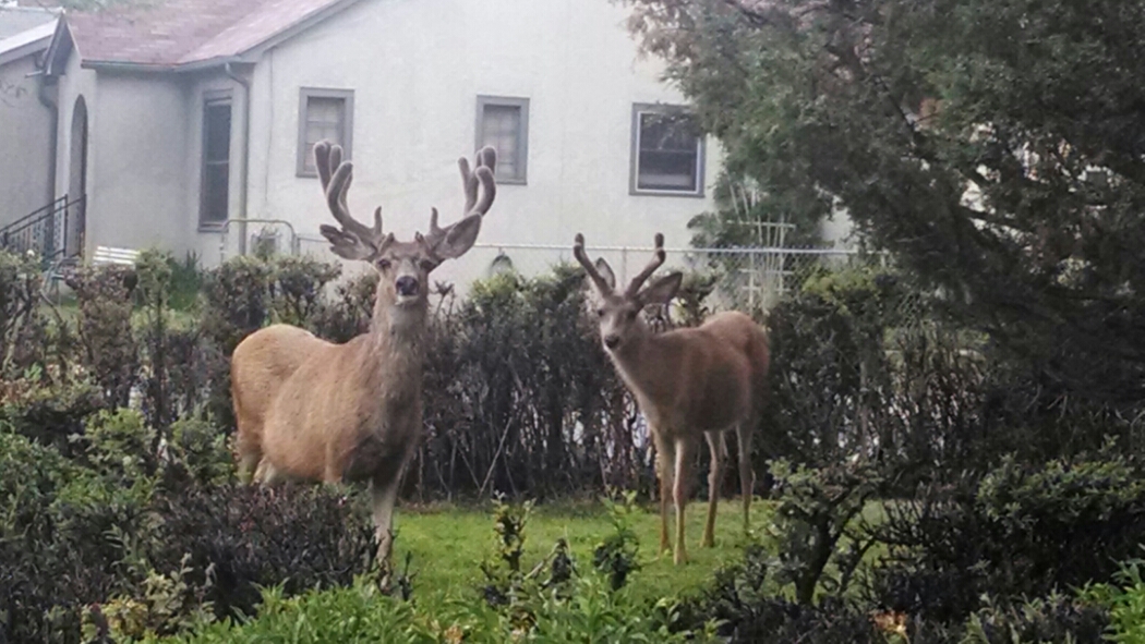
On the way to my hotel, I spot these two critters in a yard. Not statues.
Day 17, 7/4/2014, Friday
Start 2 miles beyond 17-082IXe mile 1053, elevation 10919
End Monarch Pass, mile 1068, elevation 11300, and hitch 22 miles into Salida
