- CT day 17, July 16, Sunday
- Start: S18 mile 9.7, CT mile 312.0
- End: S20 mile 12.1, CT mile 342.0
- Miles walked: 30.0
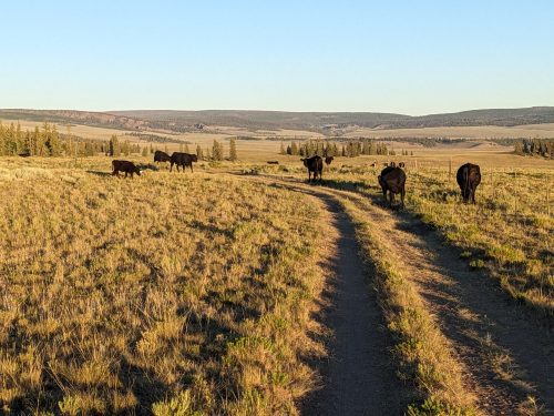
I am accidentally driving cattle along a road on the range.
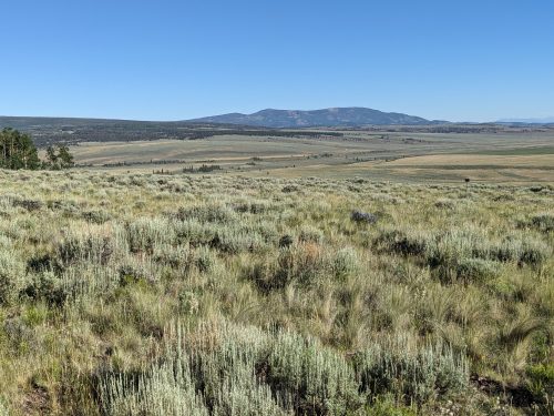
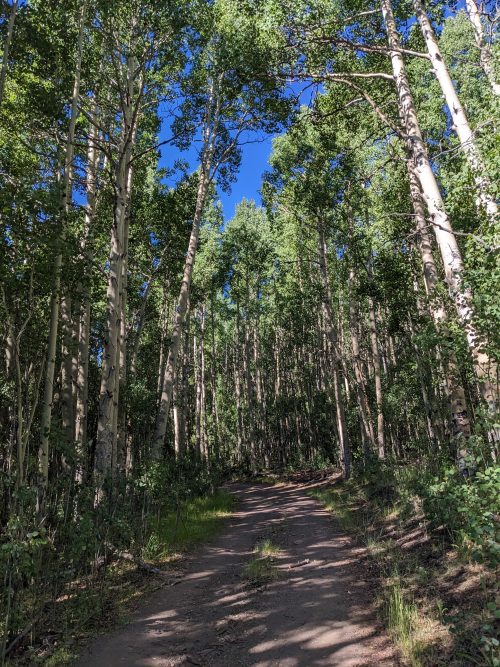
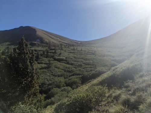
The route stays on easy dirt road for some miles, on grassland near tree cover, and eventually stands of sagebrush become frequent.
The cloudless day is getting rather hot, but the temperature instantly drops in an aspen grove.
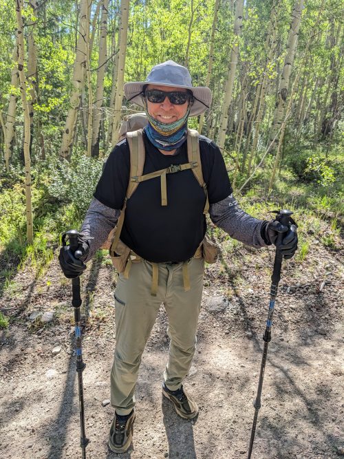
A fellow New Mexican is out hiking the CDT, Whistletooth from La Union. (“Whistletooth” is an elk hunting term, look it up.)
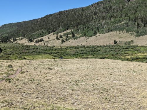
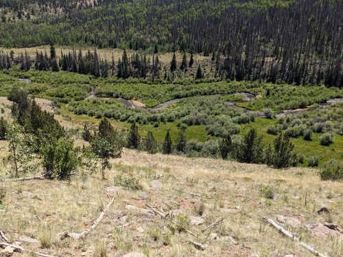
The trail follows a wetlands for a time, with several beaver dams.
I meet another CT hiker, Phil, and we pass each other a few times during the day.
After wet-foot crossing the Cochetopa River, the route follows it some miles from the heights.
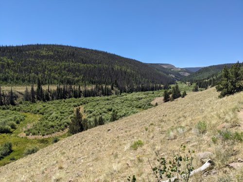
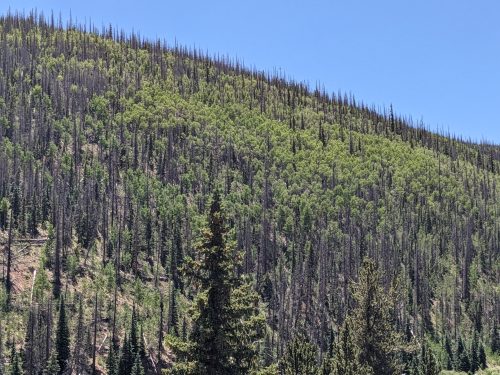
As the trail gradually climbs, following the river, aspen and standing dead trees, killed by bark beetle, make patterns on the opposite ridge.
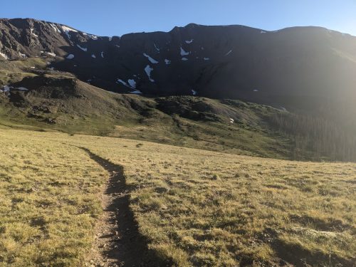
The trail heads towards mountains. Climbing is in my future.
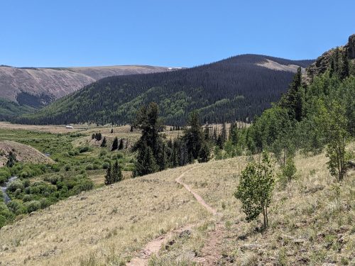
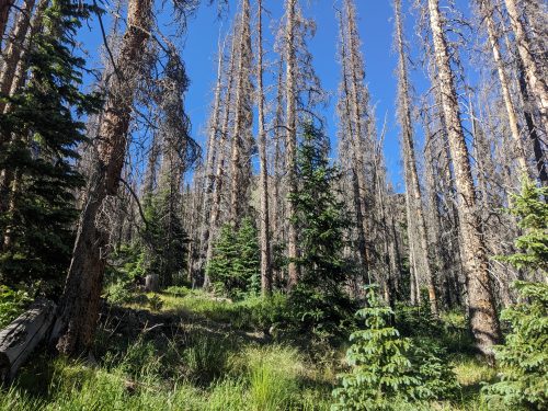
Still following the Cochetopa, the route becomes rugged and brushy, hiking along dead trees, with several small streams crossing the trail.
I meet Phil and a couple setting up camp, Mark and Mary, M&M. We discuss the practicality of reaching the road tomorrow for the noon shuttle to Lake City. I am hiking long today, but still do not think I can get there in time, so may have to make a difficult 17 mile hitch.
I climb over a saddle at about 12.5k.
Instead of heading down again on the other side, the trail goes along a ridge past a bowl-shaped valley to another saddle.
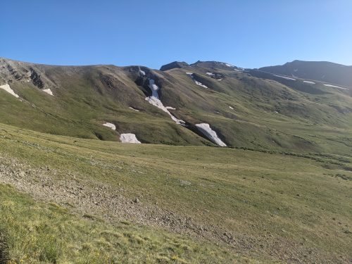
Past the second saddle, the trail gradually descends, and I can make camp at 11.9k, not far from San Luis Pass, just at treeline, but without any wind, and temperatures remaining moderate.