HDT 2022 Day 10, April 10, Sunday
Start Dirty Devil Escape Route 0.6 from S4 mile 18
End S5 mile 8, on approach to Mount Ellen
Miles walked: 23.3
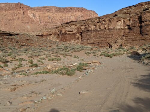
From my bypass route I get to Poison Spring Canyon, on a day that has turned much colder, with thin clouds.
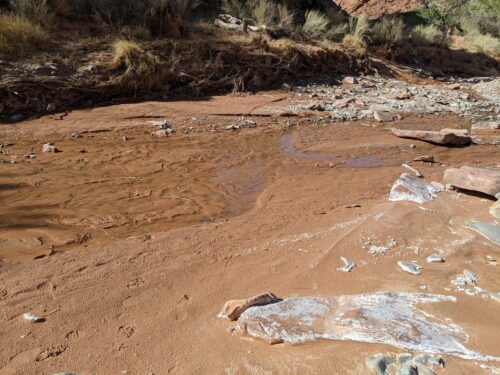
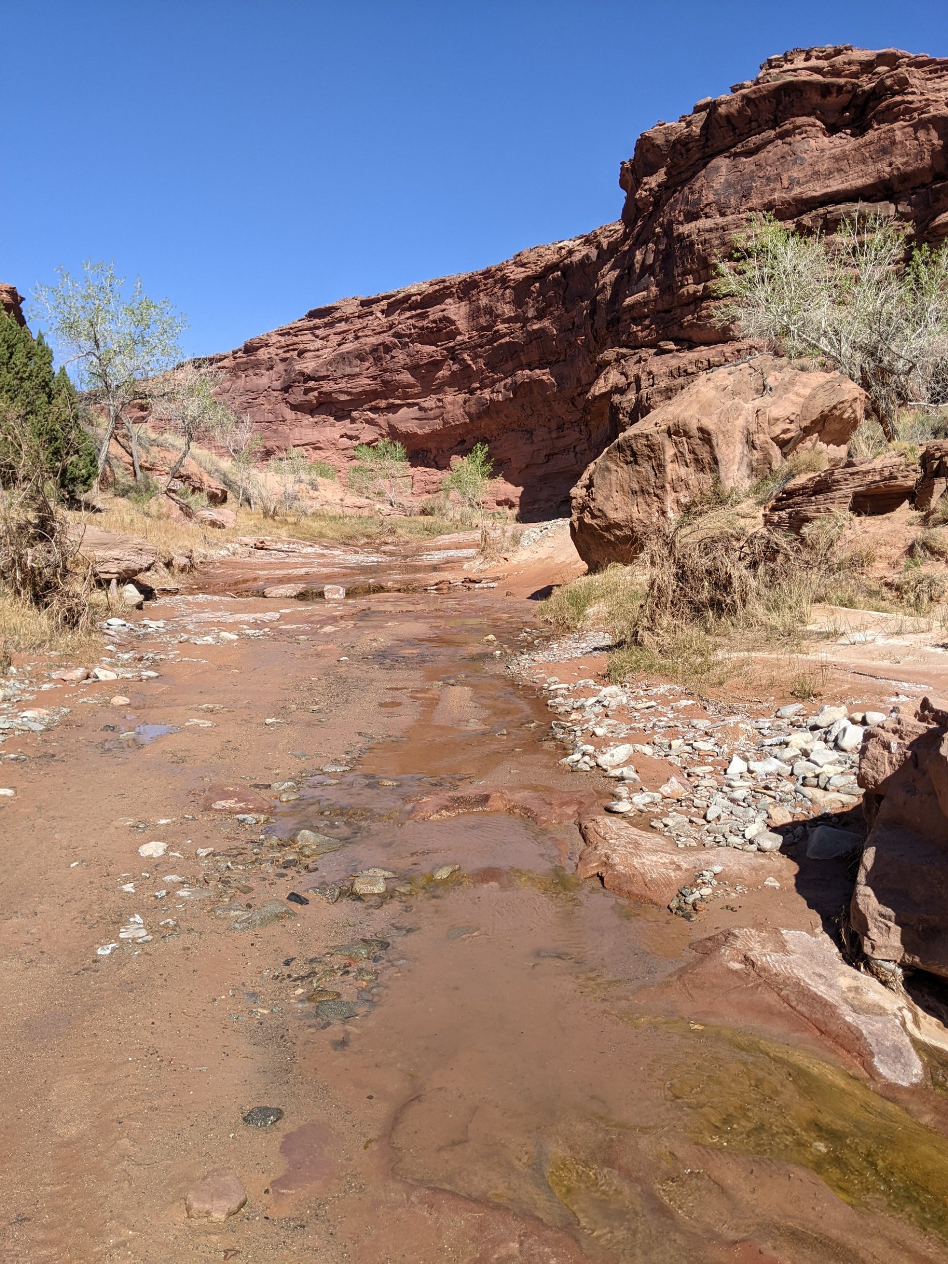
At first, no water is running, but before long a shallow stream of clear water winds through the wash.
The canyon has a dirt road along much of length, crossing its shallow water stream many times, so this area is a popular destination for 4WD trucks, camper vans, and ATVs, and several passed me today, sometimes stopping to chat.
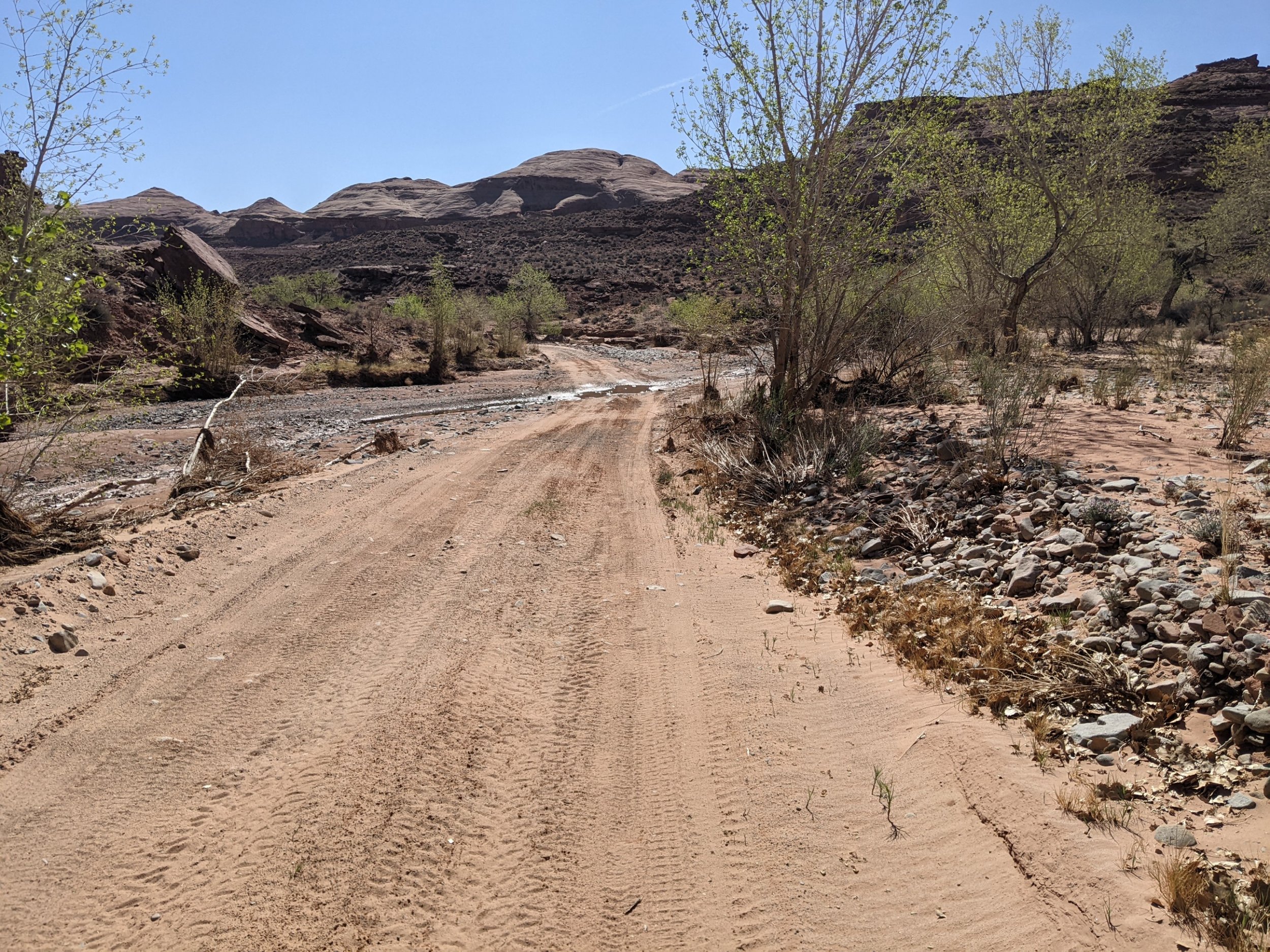
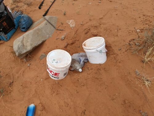
After several miles, the road and drivers leave the canyon, but hikers remain. (I see none today.) Finally at Hwy95 I dig up my cache.
Throughout the day I have been seeing the Henry Mountains in the distance.
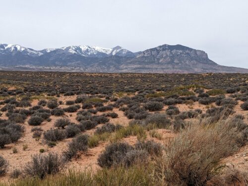
Now the rest of daylight is used to follow dirt roads and a series of washes to get closer to Mount Ellen, which I should summit tomorrow. I started the day at 4k, and am camping at a cold 6.5k, but tomorrow sees higher than 11k. One of the drivers today mentioned that weather is coming on Tuesday, which I confirmed with my satellite communication device. So in spite of concerning clouds today, I should have a window tomorrow to get up and over.