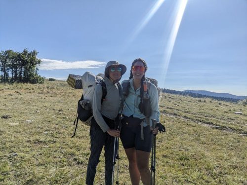
- NNML 2026 Day 12, June 29, Monday
- Start S3 mile 74 of 78, beyond Lagunita Campground
- End Cumbres Pass, and get a ride to Chama for resupply
- Miles walked: 21
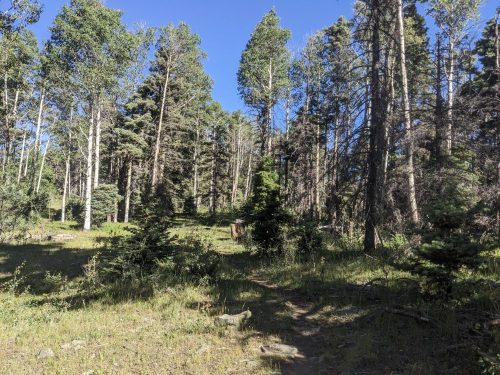
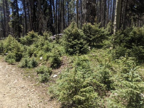
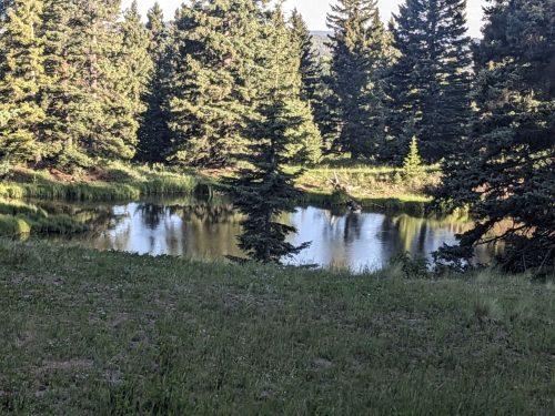
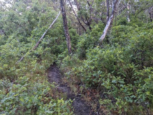
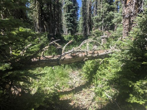
In this area, the forest floor is often filled with downed trees, coming down too often for the rotting process to clear them.
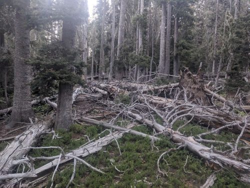
A good number of these downed trees are firs, succumbing to some disease or pest. Many standing dead firs are waiting for the next strong wind to bring them down.
Volunteers and CDTC staff try to clear downed trees from the trail, but it is an ongoing process. In this remote area, sawing crews can only come by so often, so each day a few dozen trees each will need to be stepped over, crawled under, or walked around. For trees tend to have a huge number of limbs, which adds to the obstacle.
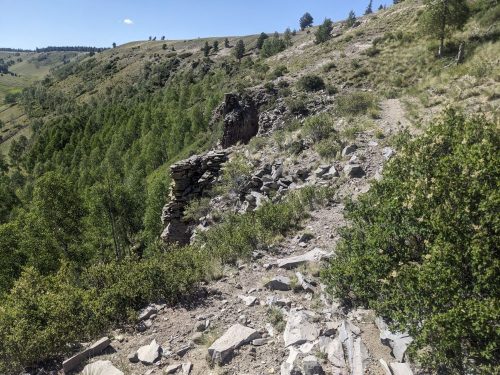
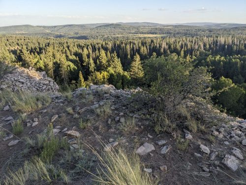
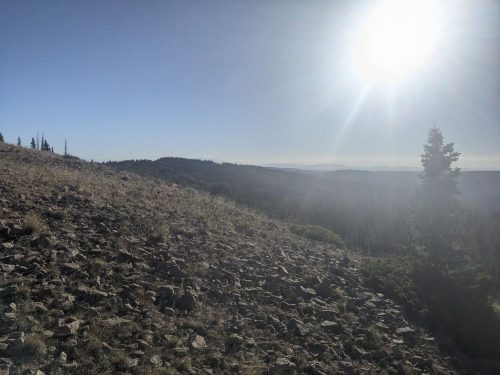
After 4 miles today, the route reaches Brazos Ridge Overlook.
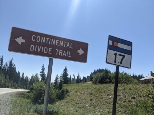
Now the NNML departs from the CDT, which it had joined since San Pedro Parks. But first, we will follow the 17 mile CDT resupply route to Cumbres Pass, to get a ride into the nearest town, Chama, and then return to this spot tomorrow.
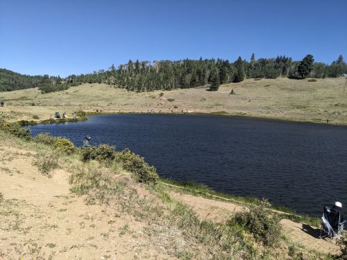
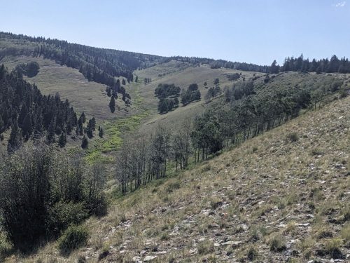
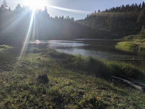
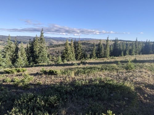
The resupply route continues along high ridge for a long while. The wind is cold and intense.
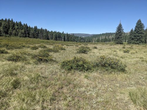
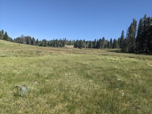
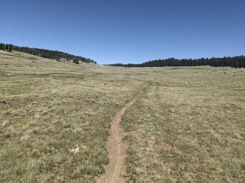
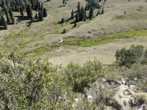
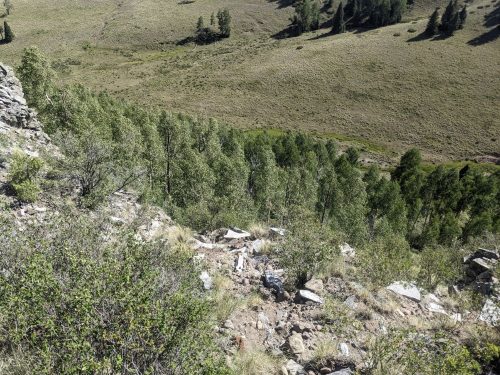
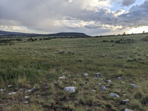
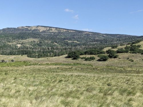
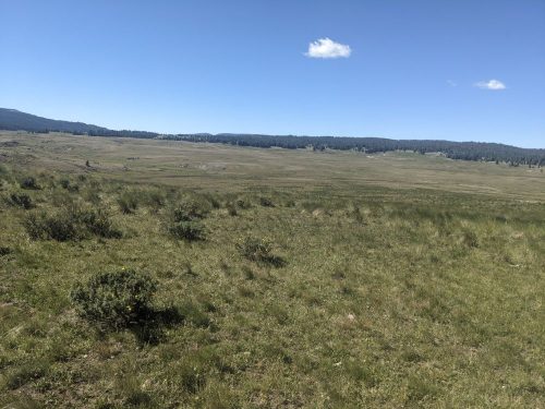
Later the route crosses a huge grass valley.
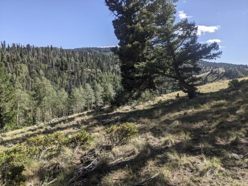
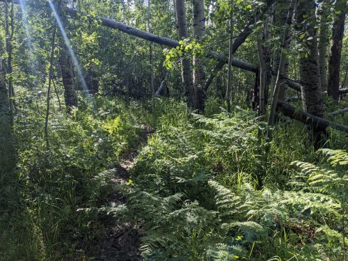
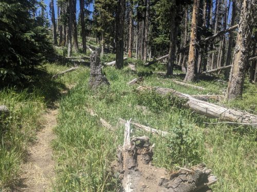
In fir and spruce forest, I notice that enough fir trees are missing, or standing dead and not making shade, so the forest understory is grass, instead of low-light plants.

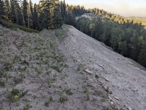
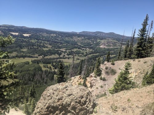
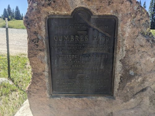
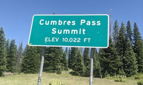
Close to my destination of Cumbres Pass, I climb another ridge, and can see Colorado at a viewpoint.
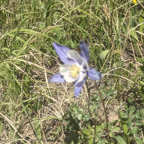
I must be in Colorado, because here is a columbine.
I am buffeted by high winds on the ridge, but eventually make it to the pass.
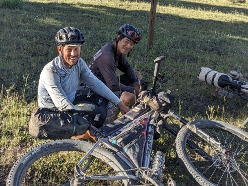
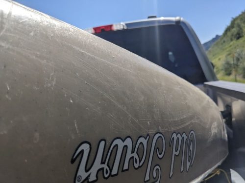
A pickup truck has a full load of people in the cab, but trail angel Daniel offers to let me ride in the truck bed, wedged in among a kayak and coolers. This means more wind.
A shower and clean clothes, washed in the motel sink, are a real treat. Tomorrow I return to the trail, with food for a few more days.
Finished audiobook Talents Incorporated, by Murray Leinster.