
Two buddies get truck stuck in mud puddle, hiking to next village.
Sagebrush personal hiking blog
Two buddies get truck stuck in mud puddle, hiking to next village.
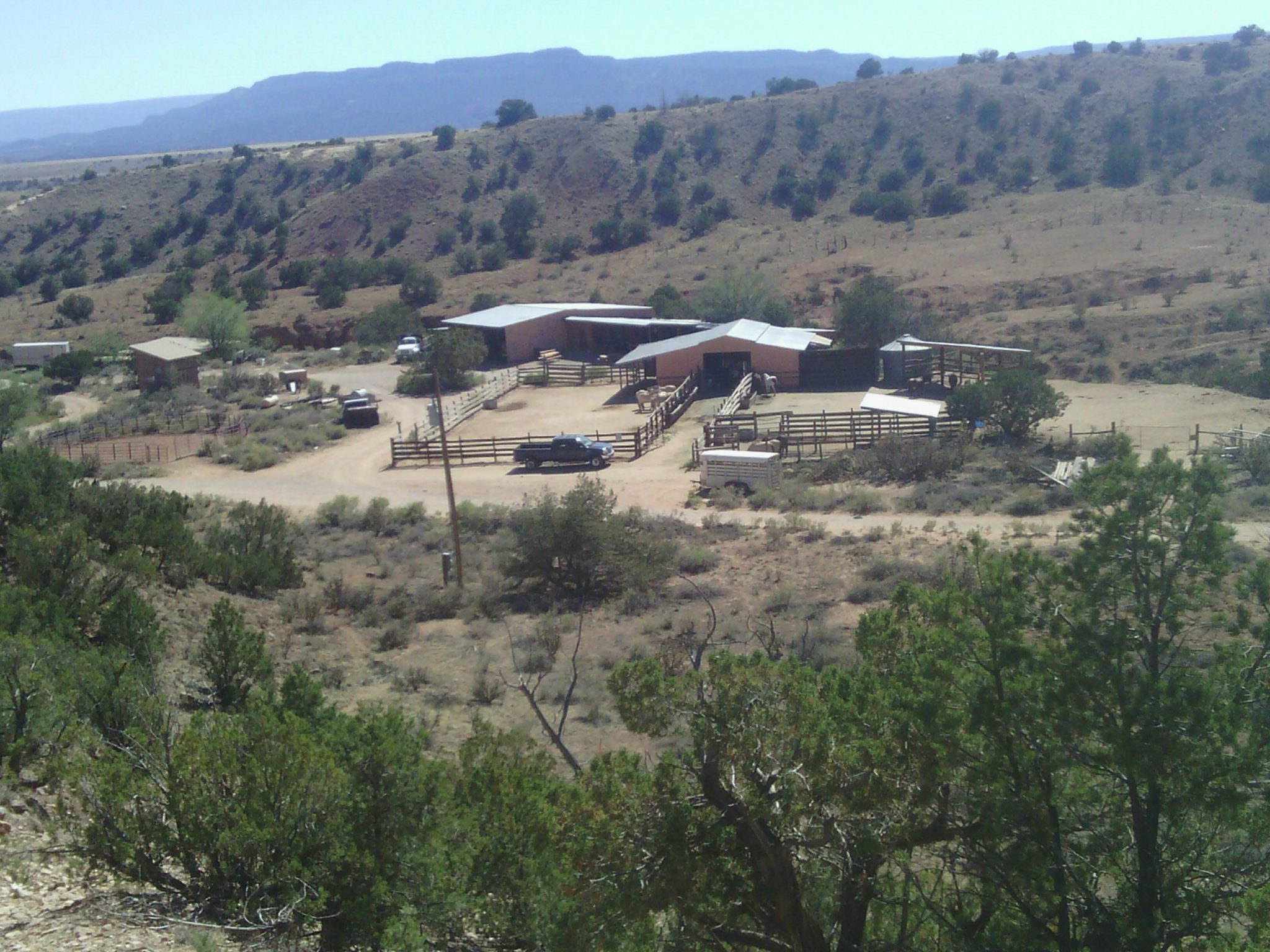
Overlooking the horse corrals at Ghost Ranch.
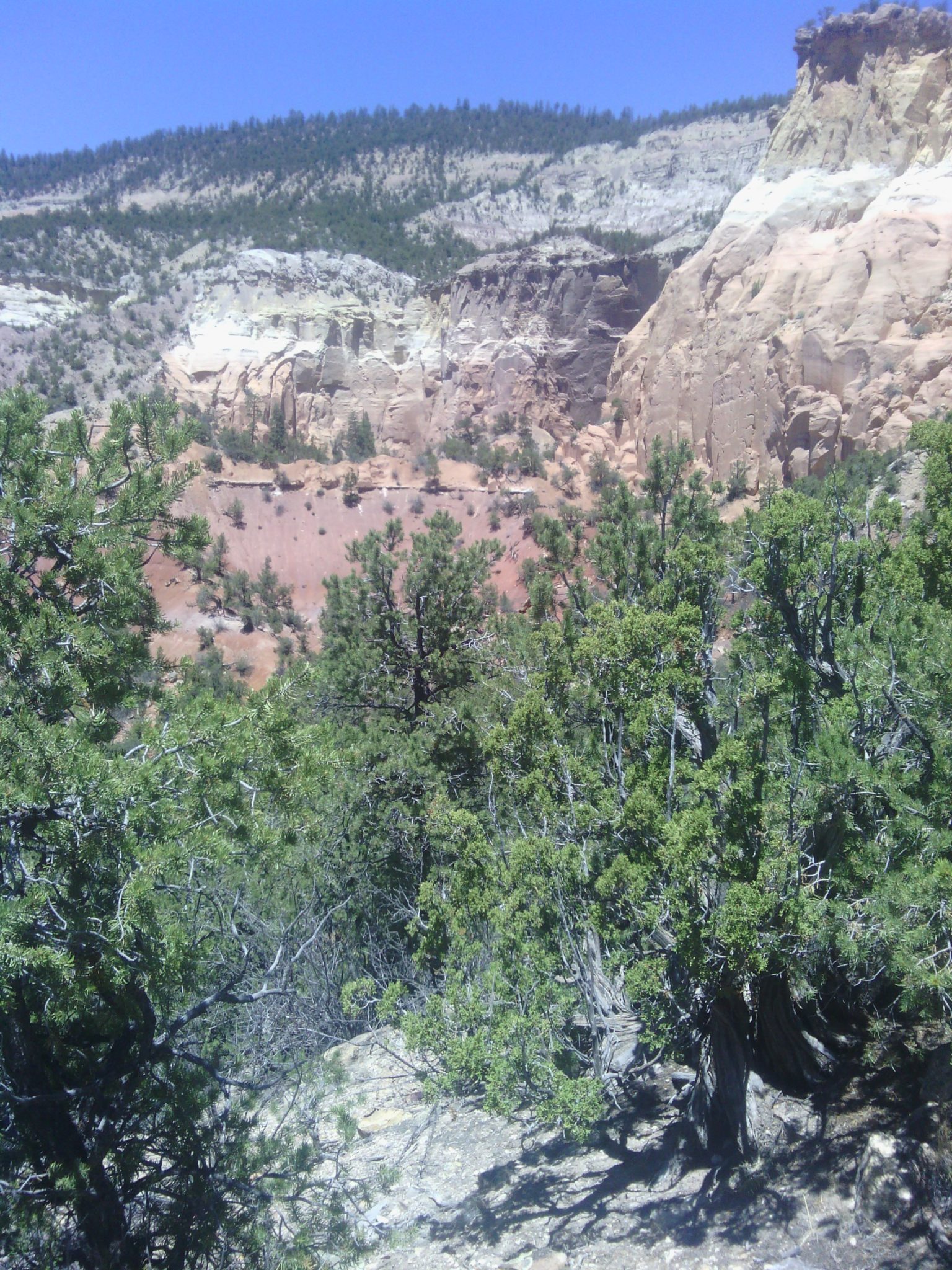
Sandstone cliffs, near the Chama River.