CDT Montana 2016
Day 20, July 25, Monday.
Start 14-270M near creek
Stop near 15-205M, a few miles from the Anaconda Cutoff
Miles on trail: 25.2
Your mission, if you decide to accept, is to hike in the Anaconda-Pintler Wilderness, enjoy exceptional beauty, and whipsaw in elevation between passes and lakes, while crossing water many, many times.
After going over Pintler Pass (8738 feet), I meet southbounder Dawg.
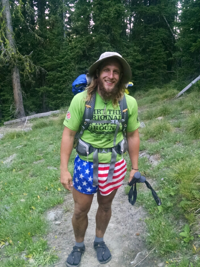
The two other southbound hikers today are Doctor Bob and Dora the Explorer.
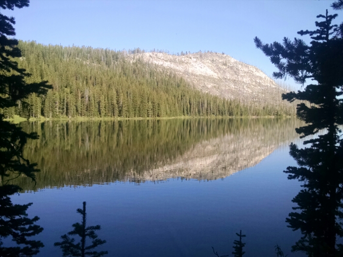
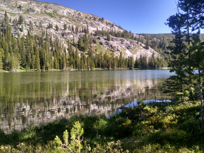
I hike down to admire Johnson Lake (7667 feet).