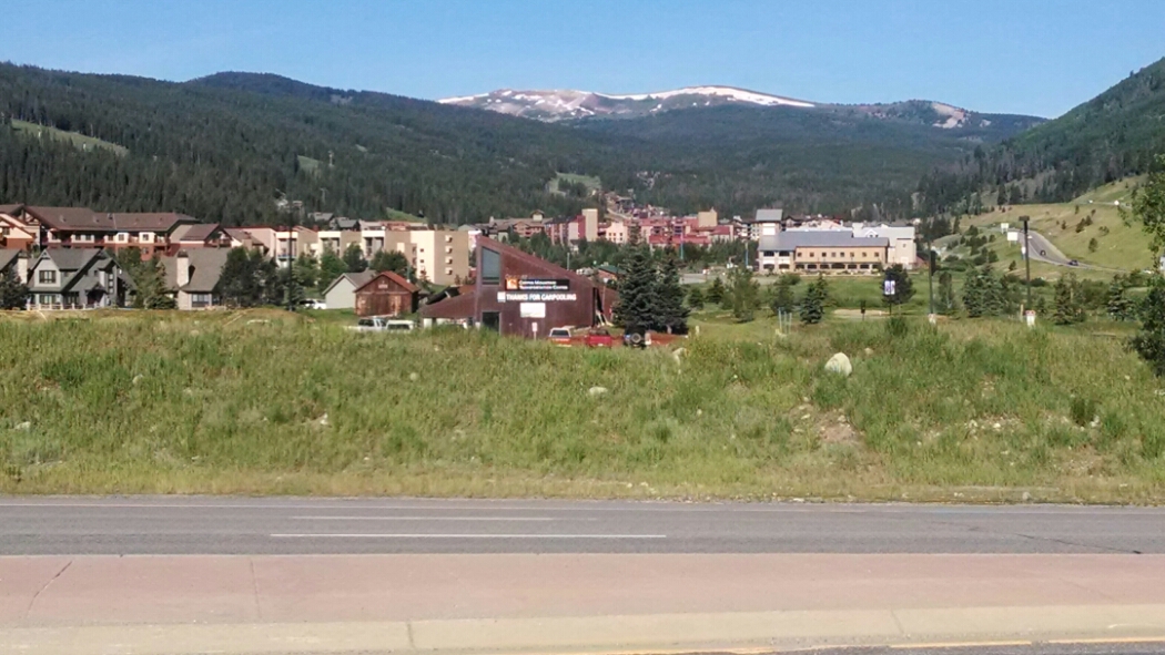
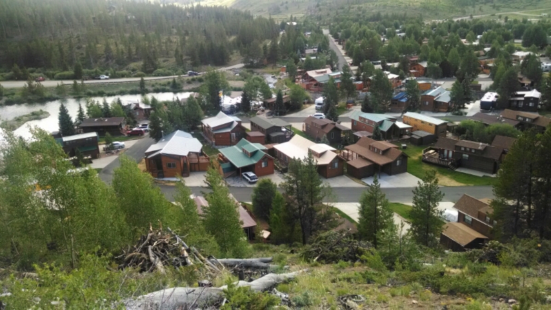
The trail continues just above Copper Village shops and views of many condos.
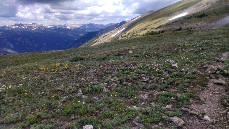
Then close to 3000 feet climb, with the reward of walking along a ridge with a view of rocky peaks.
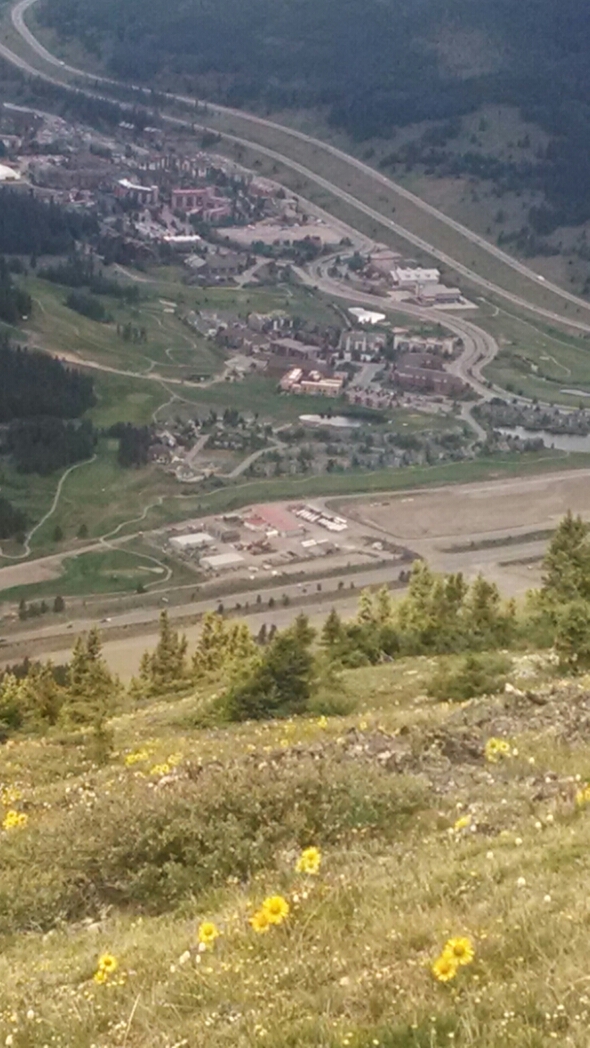
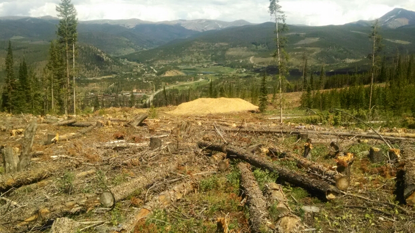
From the heights we can see the Copper Mountain complex below.
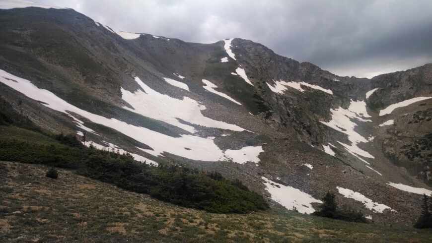
As the trail falls off the ridge we had walked along, that ridge becomes one of those steep rocky un-hikeable peaks like we often admire in the distance.
Some light rain falls, no big deal.
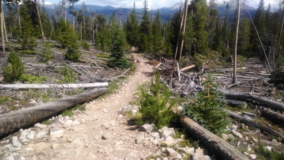
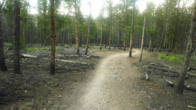
The path descends down to Gold Hill trail, with evidence of cutting along the path.
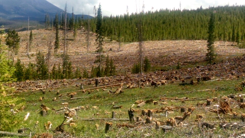
At first it is not obvious why these trees are down. Then we see an almost clear-cut area.
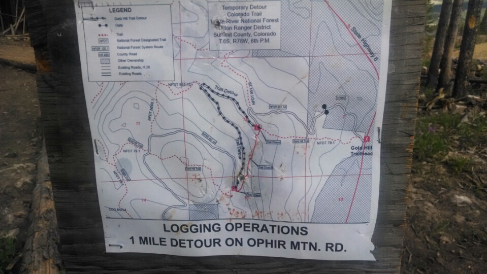
This must fight beetle infestation. Then the trail has a detour for logging operations.
The trail crosses CO9 and passes through a high-end trailer park development, similar to Surprise AZ.
The path gains 1000 feet of elevation and meanders through high forest, with continuing evidence of cutting to defend against beetle.
Somewhere after the high ridge after Copper Mountain, water sources along the trail are much less common. No frequent stream crossings, no streams from snow-melt. What has changed?
Day 26, 7/13/2014, Sunday
Start 26-218XL in Copper Mountain ski area mile 1207, elevation 10320
End 28-065XX, mile 1230, elevation 10038
