(PDF download of trip journal)
June 13
An early start from the motel might allow me to find wifi before heading up the mountain, so the start was 5:30am. The library wifi was closed when the building was closed, unlike many other libraries I have tried. Hiking while looking for open networks was finding no good sources. Finally while passing the little college I did manage to get signal, though only had time and patience to grab a few podcasts before hiking on.
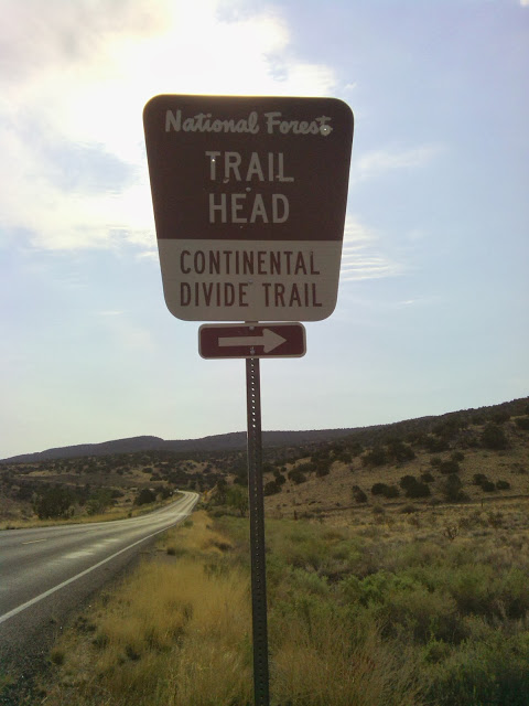
Traveling on Lobo Canyon Drive past the correctional facility, I arrived at a signed trailhead with a work-crew adding on to the entrance gate.
Rare road sign marking CDT in New Mexico
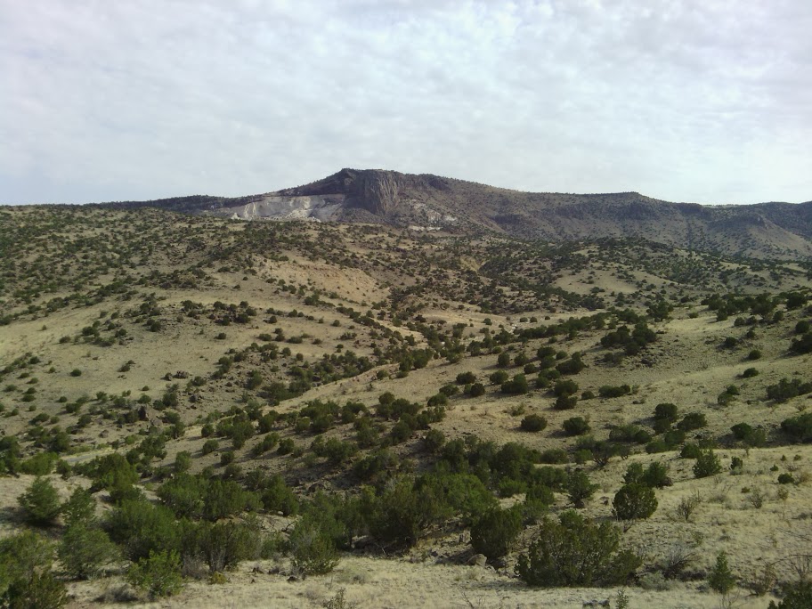
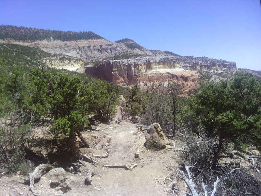
Trail looked good, and I hoped to actually stay on “official” trail most of the way to Cuba– except I would be climbing to the summit of Mount Taylor today.
Trail stayed on a broad mesa, and climbs seemed to be moderate.
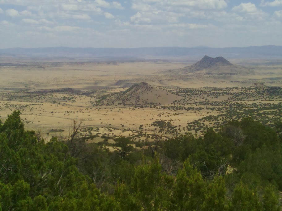
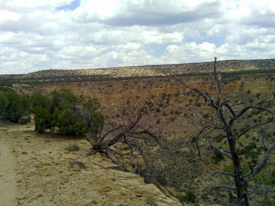
Climbing towards Mount Taylor
Shortly after leaving the official CDT I found a water cache left by the Mumms. One should give credit to these trail angels– they left caches for each trail alternative. Considerate.
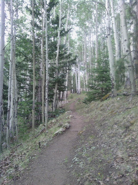
They day was cloudy– for a change, so no siesta seemed to be necessary. Closer to the summit the trail seemed steeper, or perhaps I was more tired.
Cows grazing near the summit seemed unexpected. Rain threatened at times, though mostly an empty threat, since I had seen plenty of rain fall but evaporate before hitting the ground, in the past several days.
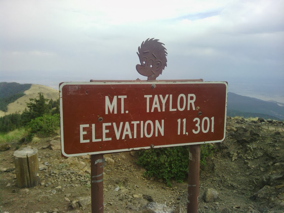
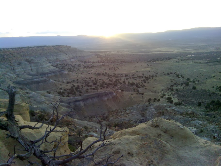
From the top I was rewarded with a panoramic view, though visibility was lessened by clouds. The temperature was noticeably cooler at 11301 feet elevation at 5pm.
Mount Taylor summit
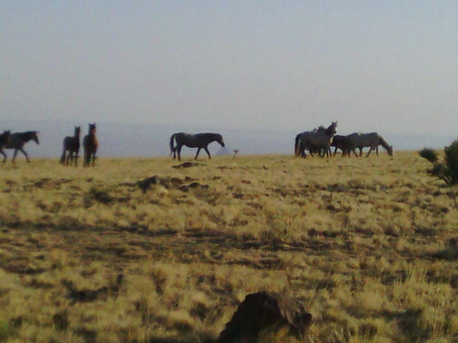
Linger I did not, due to coolness. The forest road I was following seemed to stay high along ridges, but finally plunged low enough for me to seek camp, after passing some wild horses.
June 14
Last night I could hear a brief rain shower, and this morning all is dry. Also could hear horses wandering around near the tent in the dark.
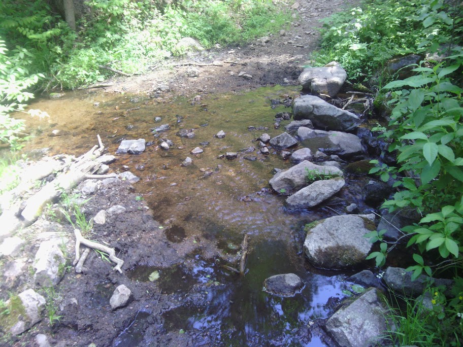
In early morning found American Canyon Springs, a boxed spring enclosed by fence, with good flow spilling into a metal tank, easy to reach the fresh water to fill containers.
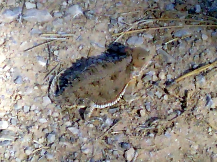
Later in the morning a wild turkey called, and a horned toad crossed the road.
At mid-morning I rejoined “official” CDT, just as it routed onto Forest Road 239, and stayed on that road all the rest of the day, and into tomorrow. Mostly flat grassland with few views and not much to remark upon. The weather turned cloudy in the afternoon, with some cool breezes, so no afternoon siesta was needed except a brief foot rest. Then at times the sun would break through, and it would become hot again. The temperature would whip-saw back and forth a few times.
[Finished Jane Eyre audiobook]
June 15
Another tiny shower at night.
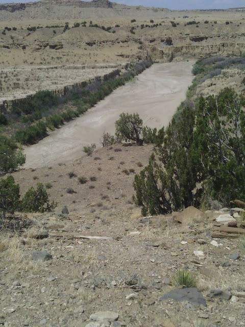
In the morning I walked a couple miles to Ojo de Los Indios Spring, down Los Indios Canyon, with good flow.
Los Indios Canyon
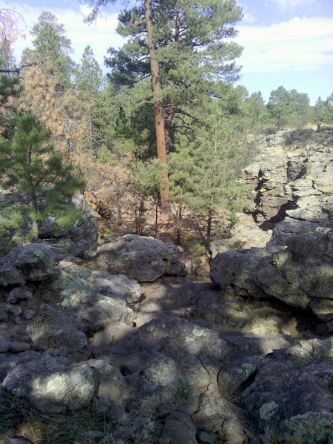
The walls of the canyon are so steep and rocky, and the canyon appears so abruptly, that I wonder if another formation mechanism besides water erosion could be at work.
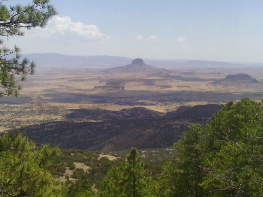
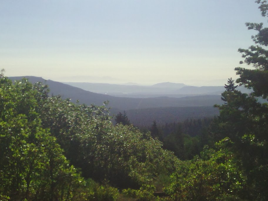
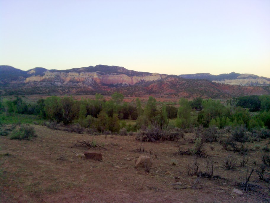
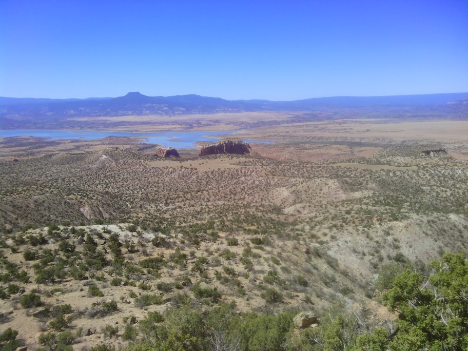
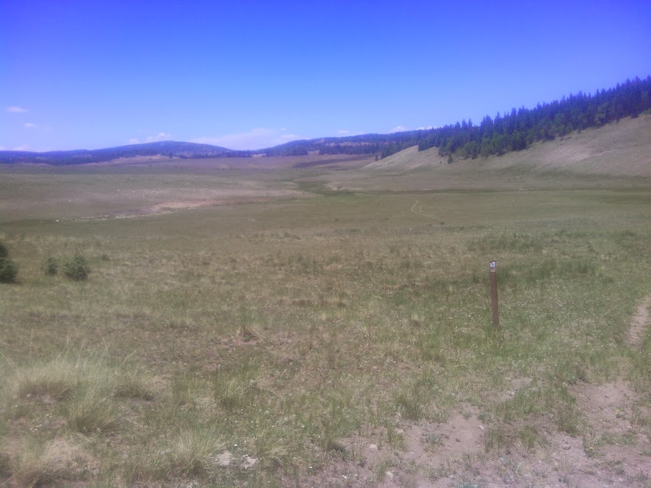
Afterwards we finally break from forest road FR239 and follow cairns and paths for several miles. I was just thinking how our altitude was still high, and that no mountains were visible in the distance, suggesting we are on a high mesa or plateau. Suddenly we start a steep descent, and an enchanting panoramic view of mesas, buttes, and winding riverbed come into view, all at lower elevation than the table I am climbing down. Welcome to northern New Mexico, really showing off this day.
The trail continues with good visible cairns the rest of the day. I climb down the steep cut of the dry river, threading between thickets of salt cedar on both banks, and climb back up, and eventually follow along sandstone cliffs for a time.
With a high wind in evening I try to find a hidden niche among the cliffs, but the wind finds me out.
[finished Agatha H and the Airship City audiobook]
June 16
Woke up at the base of a sandstone cliff, the edge of a mesa. In a few miles reached the first water opportunity: a water cache at a road crossing. Sources say it might be empty. I couldn’t find it at all, and assume it is removed. The next water is close by, a faucet on a well. Here are the instructions for this in my “databook”:
If pump handle is UP, take water if available. If pump handle is DOWN raise to UP position. Unscrew rubber outlet hose beneath it. Take water if it flows, reattach hose, and return handle to DOWN. If no water, walk 100 yards north on trail intersecting it at a right angle. A 2′ metal lid has a faucet beneath it that controls the water. Use provided tool to turn it as it is too deep to reach. Return to pump. If water is not flowing, repeat steps above. Return handle to position you found it.
I got water.
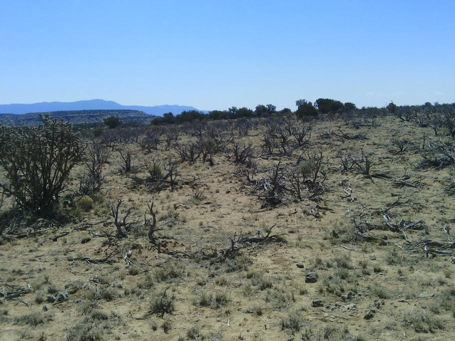
The trail passed by some acres of sagebrush that were all dead, or possibly dormant. What is going on here? Is it just too dry, or is there a disease or other explanation?
Dead sagebrush
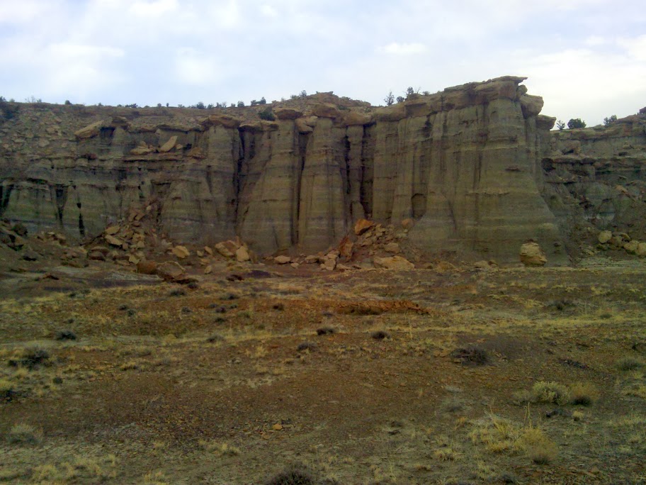
The rest of the day was spent hiking on the top edge of mesas, at the top of sandstone cliffs, with similar cliffs visible in different directions. So much variety, different colors of sand, pedestals, multi-tiered mesas, unusual pattern of fracture lines in the rock, and so much more. I despair that my little smartphone camera can capture the majesty I beheld, and ultimately you give up on capturing images and resolve to drag your friends here to witness this hike first-hand.
This trail climbs down, where one can access the last water source before Cuba 15 miles away, a spring not running fast enough to capture from the spill pipe. Then I pass some more dead sagebrush, and then fields of healthy sagebrush not far away. Finally another climb up a tall mesa cliff, and I am now cowboy camping on sand from a beach millions of years ago.
Excellent cairn placement and trail design all day. This is the best trail building I have encountered in NM so far. Ask me later how it compares to the other CDT states.
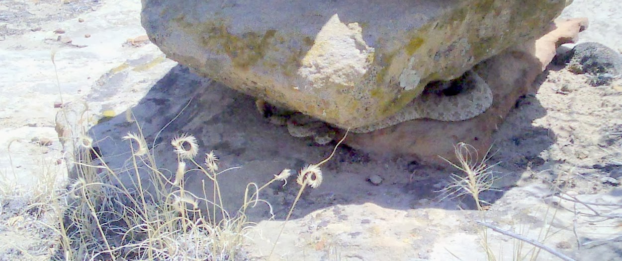
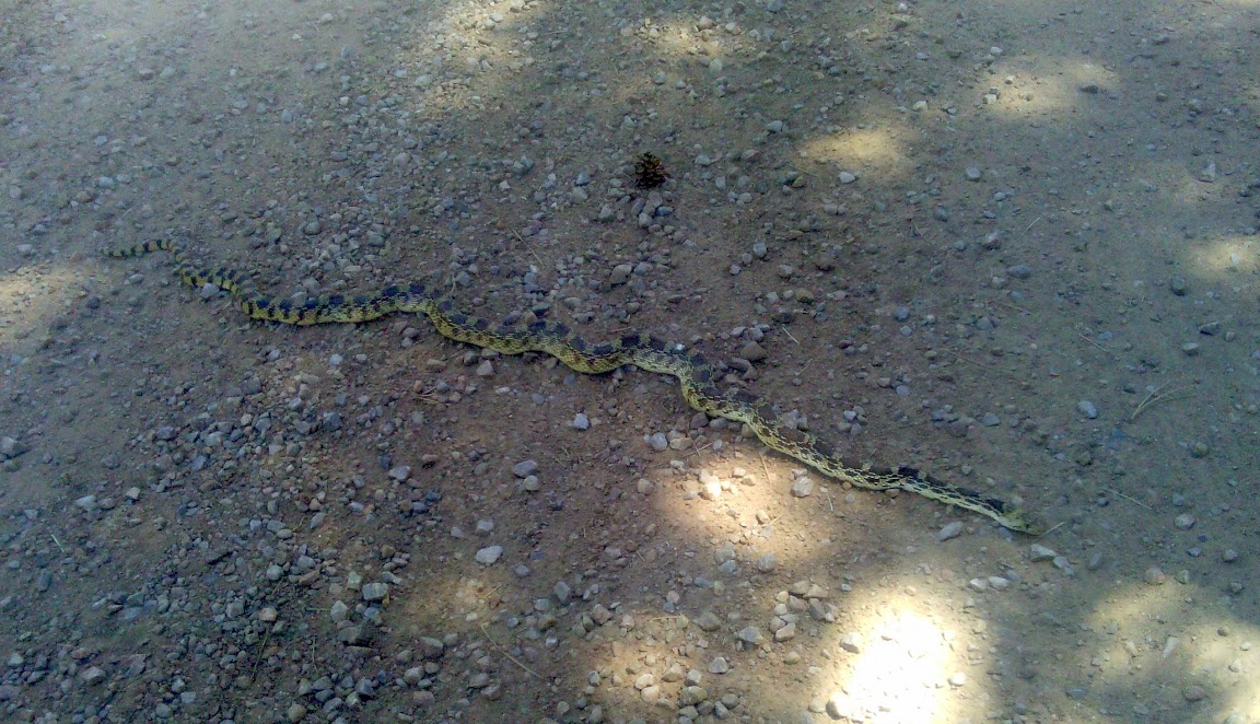
Rattler curled around base of cairn
June 17
Continued walking along the edge of cliffs, then down to roads for five miles into Cuba.
At Del Prado hotel, ran into Stopwatch and Optimist, just as they were leaving.
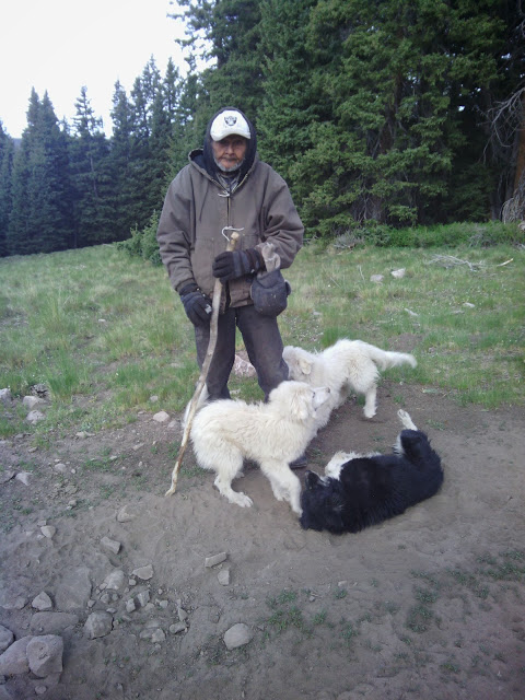
They will not stop at Ghost Ranch, but will zoom on into Colorado. Enjoyed seeing them again, and regret we did not have long to talk. They were with a CDT cyclist also leaving, Last On The Bus. He says the trip has been pretty tough so far. I checked in with Mrs Yang at the motel, who did seem nice and helpful with me checking in early and asking if pets were allowed (long story).
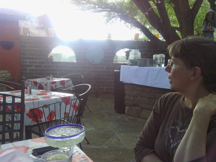
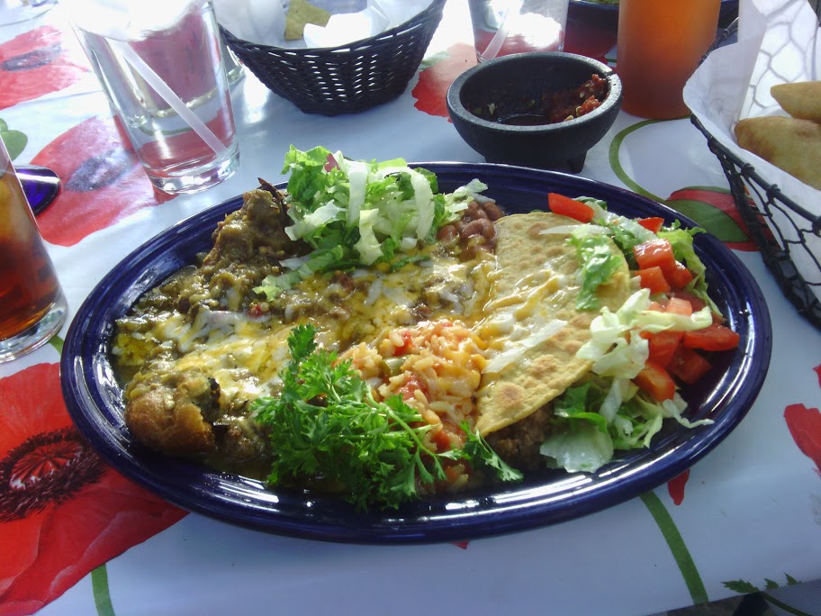
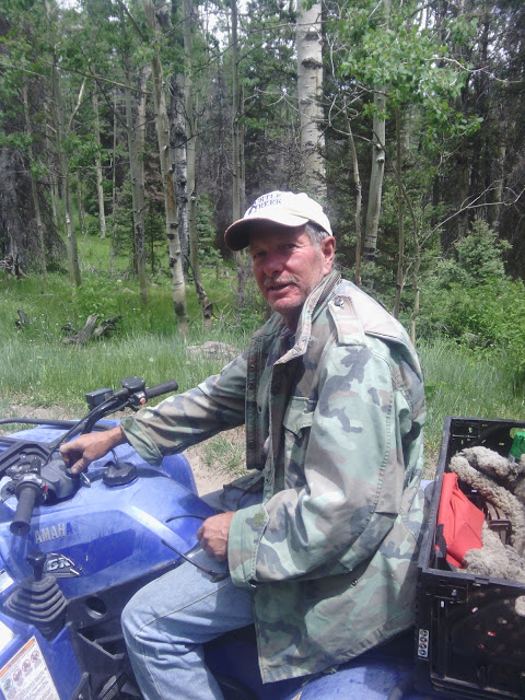
The rest is a regular town day, which I will not bother you with. The post office did not have my box. (I went back later to double-check and find out when the next mail truck arrived, and they did have my box. Yay!) My “Base Support” came out for dinner and a date, which is a delight.
Dinner with spousal unit at El Bruno’s Restaurante patio
June 18
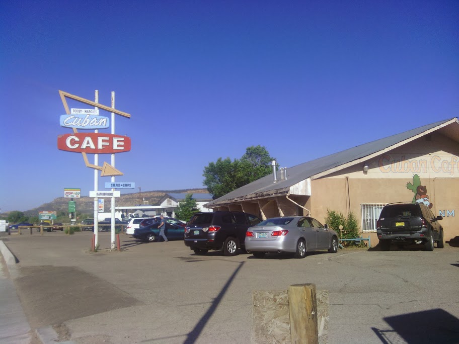
I left the trail town of Cuba NM late, at 11AM, trying to enjoy as much towns possible before getting back to hiking. I got breakfast at Cuba Cafe, a place my family used to stop after cutting Christmas trees in the national forest.
I might have stopped for lunch on the way out if a pizza place had only been open, though I did get some fresh-made fry bread drizzled with honey at a service station at the edge of town.
A road walk with climbing brought me to Los Pinos trailhead at 2PM, and what a difference in trails from the south of town to the north! Gone were the dry grass, tiny pinon and juniper trees (more like bushes, but we do not like to hurt their feelings). Now behold tall straight trees, a little creek flowing (when was the last time we saw water on the trail), green thick short grass, and shade.
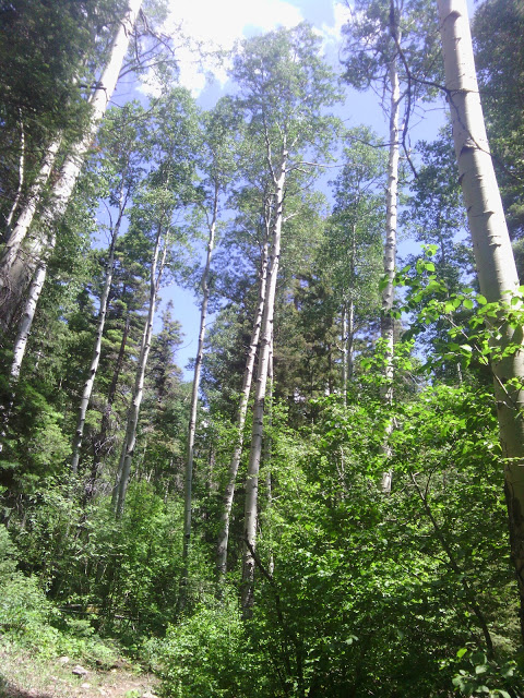
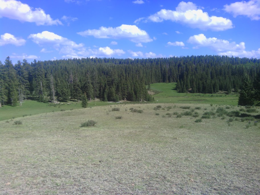
The path climbs 2000 feet in three miles, then becomes a wide flat area with mountain meadows intermingled with stands of fir and spruce, the San Pedro Parks, where park here is used as a high grassy flat place.
San Pedro Parks
After several pleasant miles my path goes down a mountain with many suffering and dead trees, from what malady I cannot make out. I cannot finish descending before the sun goes down, so make camp in as level a spot as possible.
June 19
Continued climbing down the slope, then got water at Cecilia Creek, which was running. Then coasted for a few miles along pine forest on a gently descending path.
I go along sandstone cliffs for a while, then climb up the same ridge.
At some point in mid-afternoon, trail markers or path or gps points become faulty. It could be me, but I saw shoe prints of other hikers having the same issue.
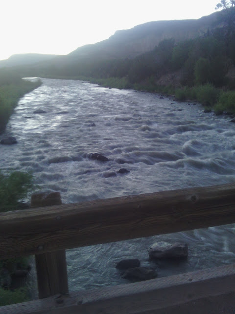
In evening the trail crosses a little creek, not running, Fuertes I think, crossing about 30 times, on way to Skull Bridge.
Skull Bridge, Chama River
June 20
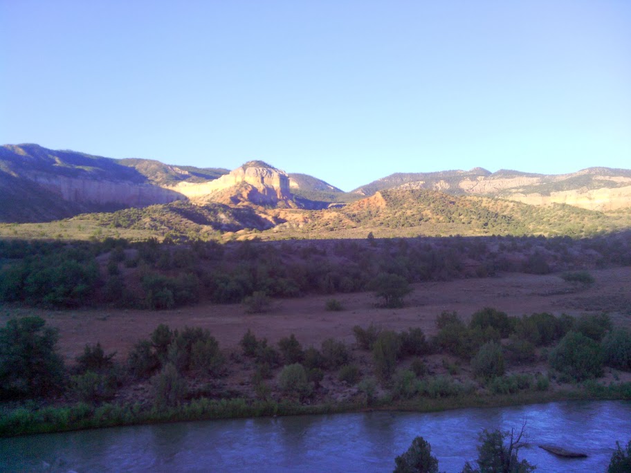
I started early from my camp hidden in an arroyo just past the bridge over the Chama River, in order to get as much quality relaxation time as possible at Ghost Ranch. A few miles along a gravel road, following the rapidly-flowing Chama, though too early to see any rafters.
Then more cross-country along a fence-line, then following a trail that starts at a Ghost Ranch outlying museum and continues on to their main complex. At the welcome center building I registered for a tent site, free the first night for CDT hikers, and three meals. The meals are all-you-can-eat, but I have been eating plenty this trip,so will not be able to consume mass quantities. Also picked up my last supply box for this trip, and proceeded to the tent/RV sites.
Ghost Ranch campground
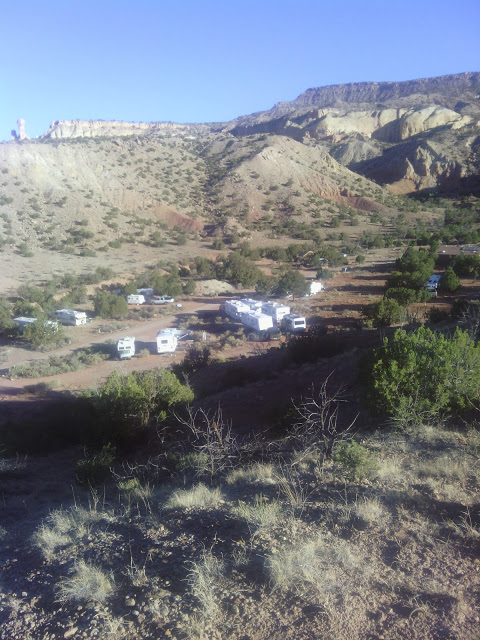
The campground has a campground host, who in this instance proved very helpful, helping me find a site with good shade under a pinon, offered me laundry soap, and gifted me with a cold soda. I arrived at 11, so could put up my tent and grab a shower in plenty of time to get to lunch at noon. I lucked into striking up an acquaintance or two, and had actual conversation over lunch, though out of practice since starting this trip.
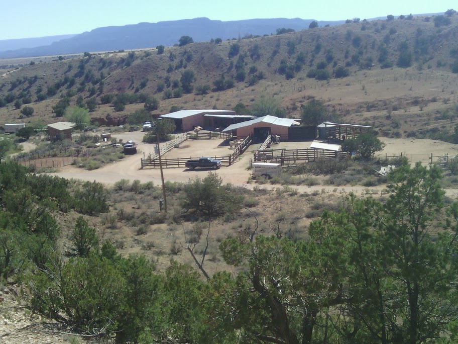
Stables at Ghost Ranch
Afterwards I tried to nap, but found it too hot, so settled into the routine tasks of laundry, organizing trail food, writing letters, email, and blogging. Dinner, then more tasks, some research about my transportation options after Chama, and a bit of relaxation. Good easy day.
June 21
After breakfast and a final snack I broke camp at Ghost Ranch, in no particular hurry to leave, and no urge to put in high mileage the next few days. If my research on regional buses is correct, there is no big advantage to arriving in Chama before Monday, since the bus runs Tuesday and Thursday.
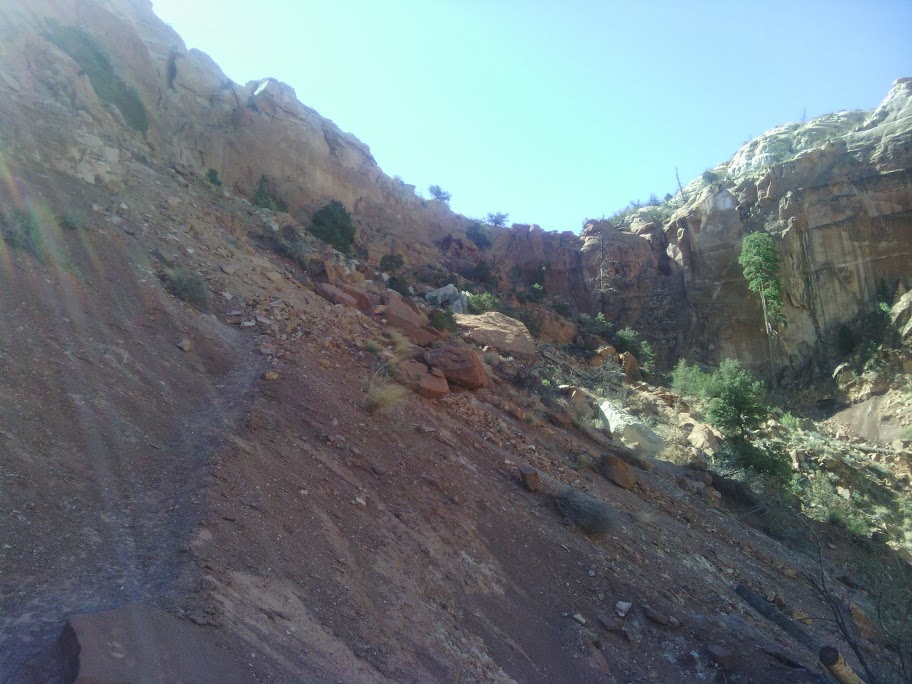
On the way out I took the box canyon trail, and climbed to the top.
Climbing out of box canyon
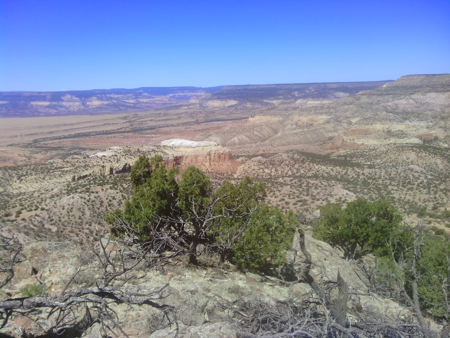
Only then I discovered I was a mile away from my trail, so I tried some cross-country along the rim. Error! The “badlands” are so folded and crenellated that the human mind always underestimates the effort of getting from point A to point B when off-trail.
Abiquiu Lake
Finally back on a forest road with no views, almost a relief after the mind-bendingly beauty of Ghost Ranch and vicinity. I spy a large snake in the middle of the road, that looks at first like a rattlesnake. But there was no rattle, though the snake moved the tip of its tail rapidly to imitate a rattler. After I encouraged it to move off the road by tapping the ground with my trekking poles, it coiled as if to strike, but way out of range of my person– all bluff.
My trail ran along vanishing old roads, quite hard to follow, until my only water opportunity of the day, Harris Bear Springs, a nice piped spring with fencing nearby, possibly to keep cattle away from the original spring. After filling my containers, I noticed an actual bear about 100 yards away. The wind was such that it could not catch my scent. It seemed to be ambling and playing, and I imagined the possibility that it was chasing the many grasshoppers out today. It was around the corner of the fenced area, so I decided to proceed on the far side of the barrier.
Bear. Poor photo because I am keeping far away
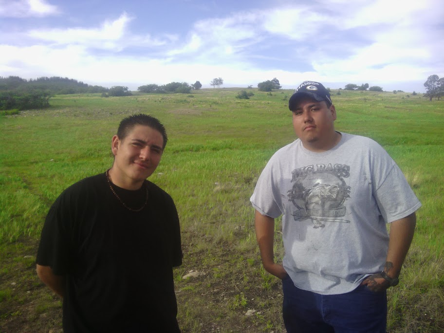
At the spring my trail joins with the “official” CDT, but no trail signage and few cairns are provided. The trail follows old roads that often vanish. Then, at 6:30 I see two people coming towards me on the presumed trail, and they have no packs or equipment. When they get closer I learn that these two young men planned to see a rodeo in Abiquiu, and were driving some back roads to kill time until the event. They spied a mud puddle and thought it would be fun to splash through, but got a wheel stuck up to the axle. They were trying to get a cell signal, and if that failed might have to walk to the community of Canjilon (?) ten miles away. I encouraged them to drink some of my water, and tried to offer a protein bar to carry, just in case, but they politely declined. Checked my phone, and I got no signal either. Hope they made it OK.
Dudes with stuck truck
Camped shortly after 7, and the air turned cold quickly. Time to prepare for a chilly night.
June 22
For all except the final hours of the day, the trail was on forest roads,with almost no trail markings, indeed, or any road numbers either. The day was cool, breezy, with high clouds. The surroundings were high mountain meadows, with some scattered trees and larger patches of forest, all conifers and aspen.
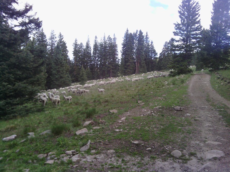
Mid-morning I passed by a large flock of sheep, all huddled under the shade of two trees. Later along the road came two men on ATVs. On was the sheepherder and the other his friend. They were out hunting a coyote that had killed three lambs.
Shepherd tracking coyote
They offered trail magic of a coke and devil’s food snack cake. The herder mentioned seeing four hikers in recent days, and thought I might catch a young woman solo hiker named Late Start.
June 23
More high meadows today, with some recently constructed trail, with often minimal signage. Caterpillars cover the forest road like tiny tribbles.
Near Hopewell Lake along the forest road I noticed at least two dozen RVs and tents, camping on primitive no-fee sites. Possibly the campground near the lake was full, or people preferred to avoid fees, like me.
Just past the lake I met Tim riding my way on a mountain bike. He and a buddy are hiking and camping the backroads wilderness areas. While waiting for his buddy to appear, he stops to talk about gear, philosophy, and much more. For many years he has been doing Tarot readings with ordinary postcards, and currently uses this skill at the Santa Fe farmers market. His friend is planning a bike adventure in Peru, and wants Tim to come along. He might consider a cross-country USA trip as an alternative.
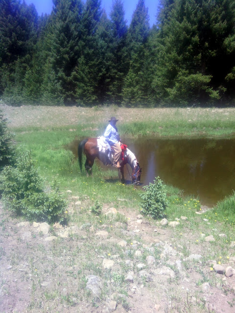
I passed Jawbone Mountain, ridged with granite, resembling a jaw with teeth, and notice we are not in sandstone geology anymore. At Jawbone Tank (pond) two trailriders come up and let their horses drink. They are only out for the weekend. One man is from Pecos, and says it is very dry there, brown, not green like here.
I walk along high ridges, eat dinner next to a lake, and put in big miles today, to better prepare for a big day tomorrow.
June 24
Just past Brazos Ridge Overlook I met a large flock of sheep, and after looking further saw a sheepherder with his three dogs, just sitting and watching after his charges.
He did not know any English, but with gestures and my tiny Spanish we had a conversation. He is a Mexicano, from Zacatecas. It had not rained for a long time. He was good at getting his point across, introduced Spanish words to me, and I got the idea if I hung around him for a few days I would be a much better speaker of his language.
The trail following was often faint and not well signed. I hope southbounders do not get a poor first-impression of our state.
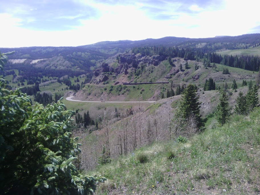
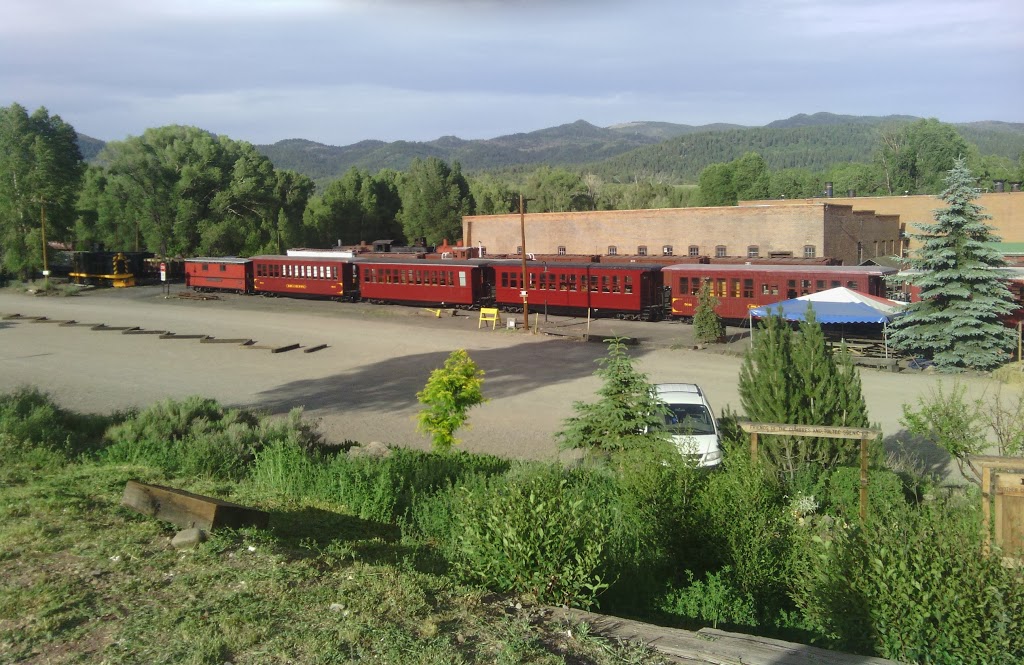
Finally I reach the Colorado border, marked as a boundary between different national forests, and the mountains start becoming sharper and valleys deeper. You can really see the transition into a different state. The Cumbres & Toltec train is visible, going back and forth several times to get over the pass.
Cumbres & Toltec train in distance, with struggling aspens in foreground
Stands of aspen trees are still bare, dead looking compared to nearby conifers.
I hike along a sharp narrow ridgeline, almost blown over with high winds, and on to Cumbres Pass and CO 17. Traffic is fast, and I walk down a ways to a wider shoulder to hitchhike. Finally, after an hour, I am just about to give up and walk to town when a pickup truck full of railroad volunteer workers gives me a ride in back. I talk with another guy over the wind, and he describes how so many caterpillars are on the train track that the engine is slipping, until the engineers use a blast of steam to blow them off. The sick aspens visible in the pass are also caused by the caterpillar infestation.
Train volunteers give me a ride into town
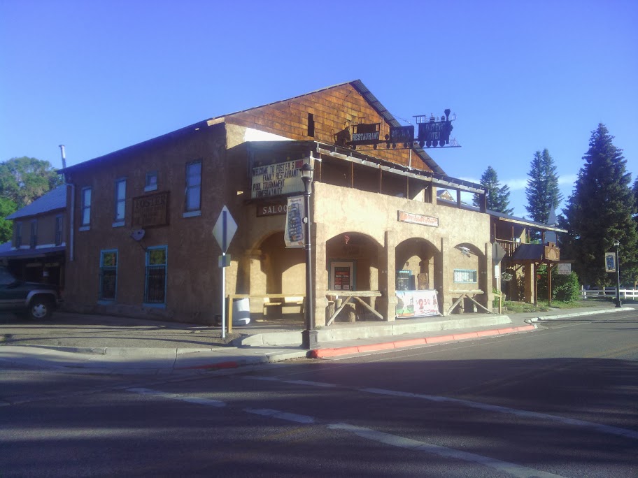
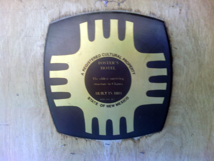
We arrive in Chama, and I depart to get a room at Foster’s across from the train station. (Foster’s has been described as the CDT equivalent of The Doyle on the AT. Foster’s rooms are in somewhat better shape.)
Foster’s
Built in 1881
While waiting for a room to be ready I linger at the bar, and strike up a conversation with a guy that pulls out a New Mexico road map book and has me show the CDT route on the maps. We have good conversation, but finally I must break away and go get cleaned up, and then down to the restaurant for dinner. The same guy from the bar comes by later and joins me over a meal, and our conversation resumes.
Good day.
June 25
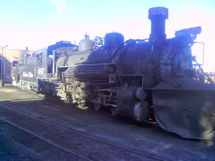
Steam locomotive
Blue Bus at Chama departs 8AM near Foster’s, free to ride.
Arrives in Espanola park&ride 10AM.
Blue Bus Espanola departs 10:40AM, also free, and arrives in Santa Fe South Capitol Rail Station 11:20AM.
Lunch at the nearby burrito place.
RailRunner train leaves southbound at 1:07PM, arrives at Los Ranchos Station in Albuquerque at 2:21PM.
Bus 251 leaves the train station at 2:22PM (or after the train actually arrives) and gets to Northwest Transit Center at 2:36PM, free to train passengers who can show a train ticket.
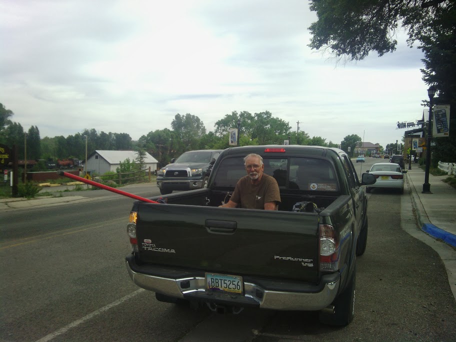
My daughter brings me home, about 10 minutes away.
I am impressed that I can travel so far on public transportation in northern New Mexico. Kudos to buses and trains.