- NNML 2019 Day 8, June 17, Monday
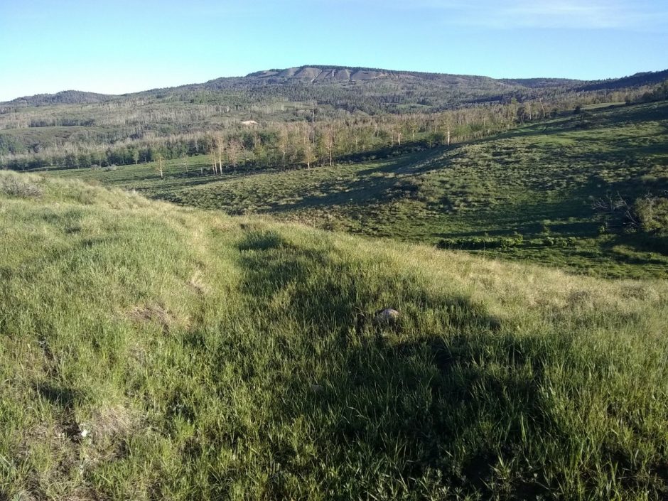
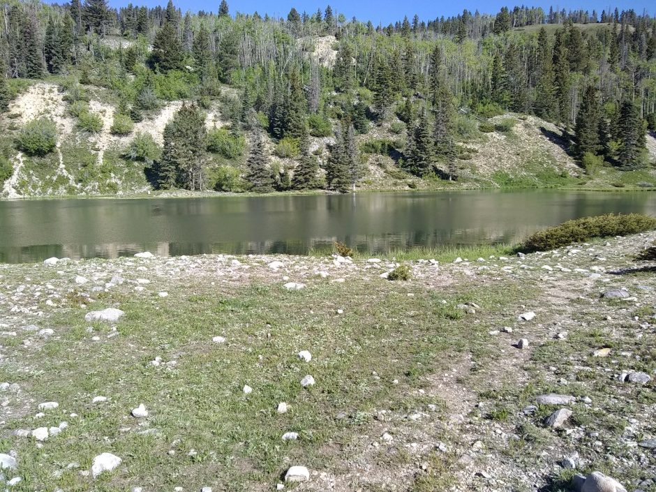
- Start mile 135, near Living Museum Ranch (sec2mile70)
- End mile 137 (sec2mile72)
- Miles walked: 2
The Living Museum near where I camped seems to be defunct now, and the route should now bypass them. The Ghost Ranch welcome center would not open until 8AM, but hiker Zipperhead was there to give me info on wifi, showers, laundry, meals, and so forth. She would depart later in the morning, with a huge pack.
(No photo at request of hiker.)
After the office opens, I get signed up for a tent site and lunch ticket. More than one meal in the cafeteria would cause me to overeat and feel awful all night, from previous experience in towns. The staff does not allow campers to pick a tent site and set up before 2PM, but I can shower and do laundry and sort out my supplies that were mailed here, and have a snack, all of which greatly improve morale.
Continue reading “Ghost Ranch Nero”