- CDT NM 2025 Day 14, Sunday, April 20
- Start CDT mile 367.7, north of NM12
- End mile 389.9, on Segment 86
- Miles walked: 22.2
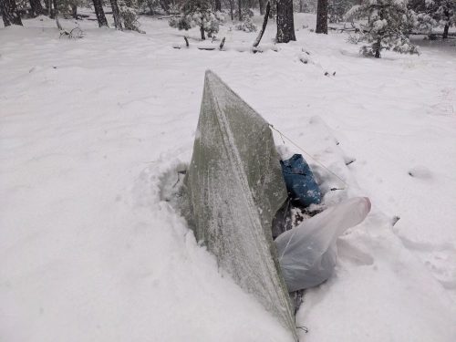
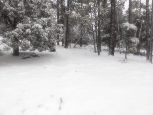
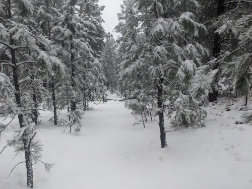
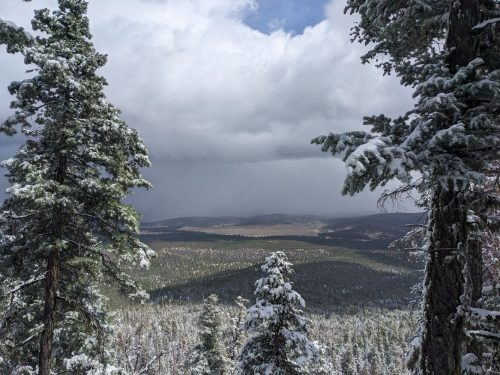
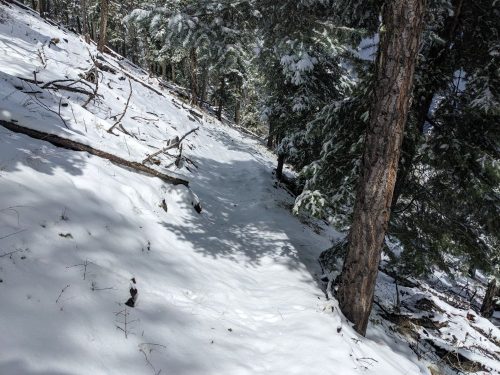
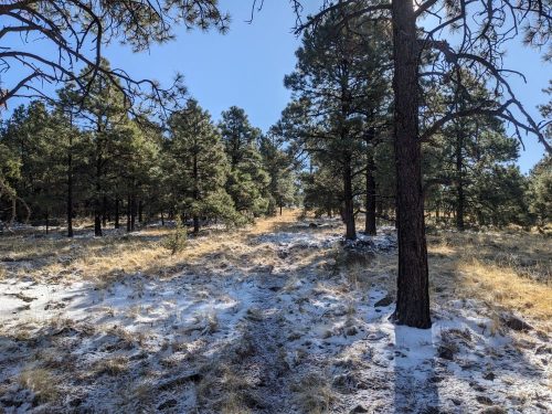
Snow remained in shady spots, a reminder of the crazy day yesterday.
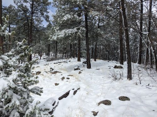
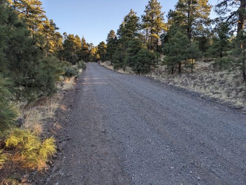
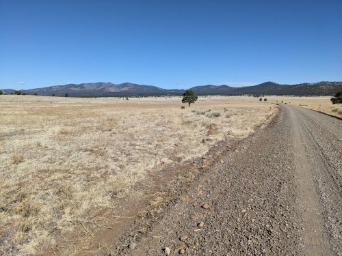
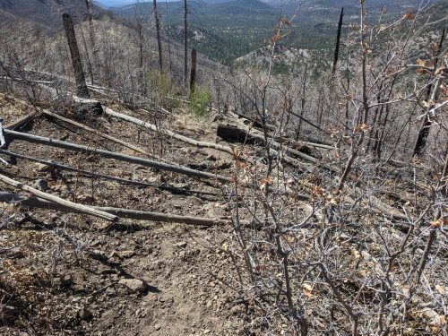
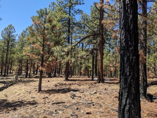
I hiked on top of mesas for much of the day, in ponderosa forest. Trees were scorched from some recent burn, and I could still smell traces of wood smoke. This appears to be a healthy burn, just scorching the trees and removing undergrowth, necessary for the life cycle in ponderosa woods.
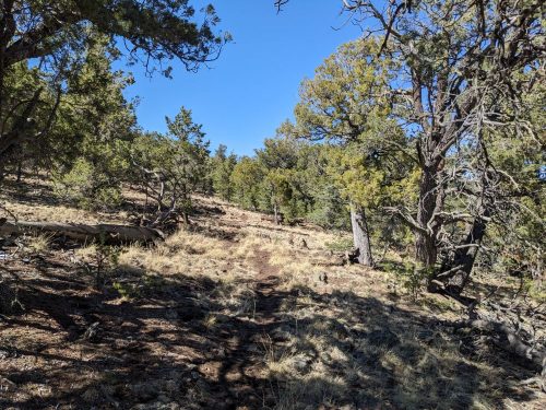
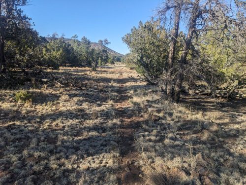
Lower in elevation, the forest was mixed juniper and pinon.
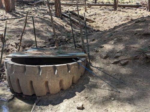
I got water at Cassidera Springs, the only sure source for today.
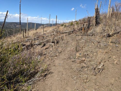
In the afternoon I reach Segment 86!
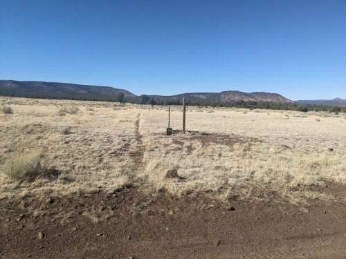
People can adopt a section of the CDT, and go out and do maintenance on their segment; a couple of times a year. I had already worked on my 12-mile segment once this Spring.
Considering that most hikers skip my segment and do the Pie Town Alternate, the tread is looking pretty good on the southern end. I expected the path to be more overgrown with grass.
The Colorado/New Mexico border is at mile 777.2, so my trip is already half over!
Finished audiobook Plain Tales From The Hills, by Rudyard Kipling.