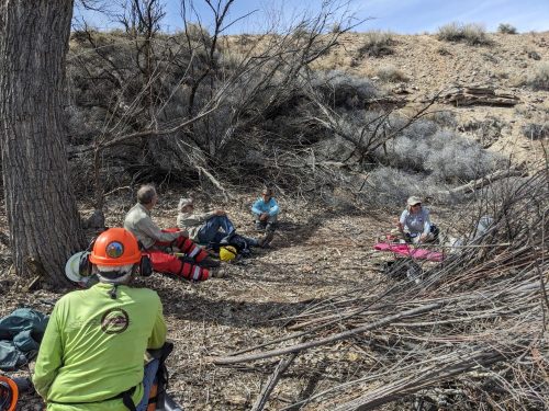
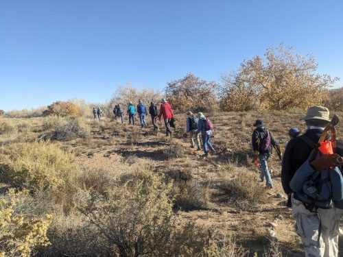
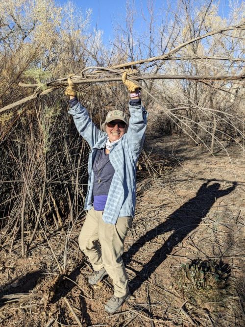
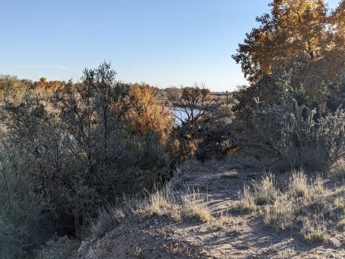
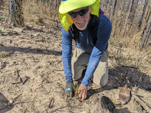
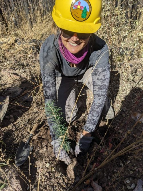
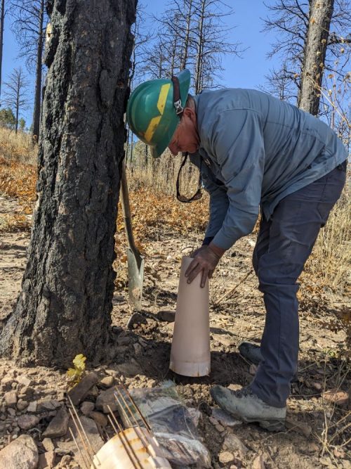
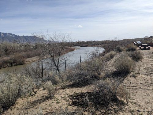
And so trail/restoration projects begin another year. A small team of NMVFO volunteers came together for a mid-week event at Coronado Historic Site to thin dead trees and cut down invasive plants in a thickly overgrown section of the bosque.
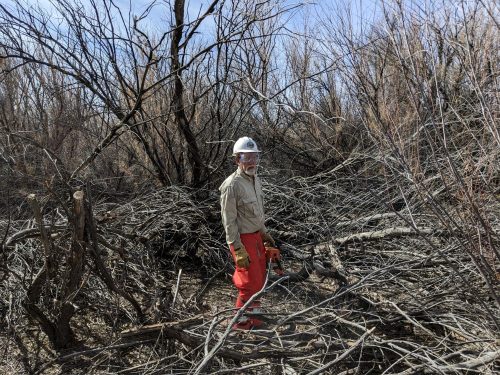
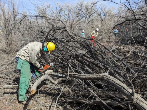
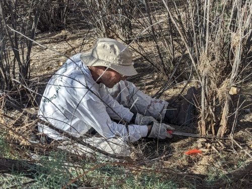
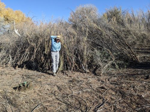
We had three chainsaws going at once, with the rest of the volunteers “swamping” (removing and transporting) branches to huge piles for chipping/shredding later in the year.