- SF2T 2026 Day 2, June 10, Wednesday
- Start mile 13.2 on Winsor Trail, approaching ski area
- End mile 32.7 Dockweiler Trail
- Miles walked: 19.5
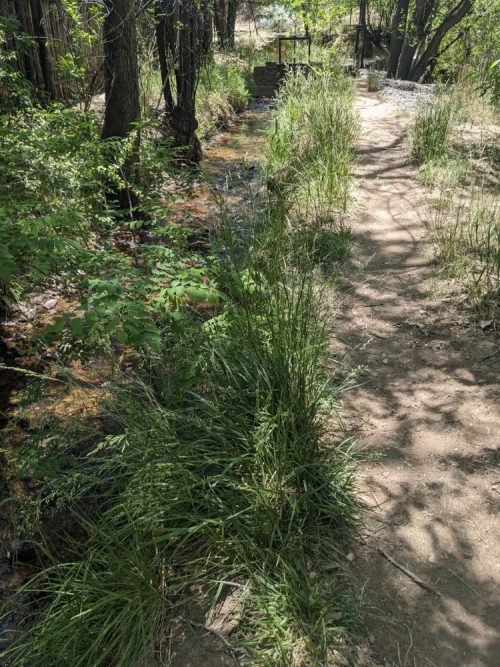
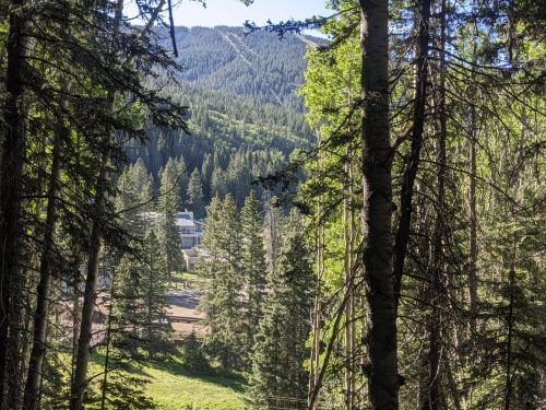
The route continues a steady climb, up to the Santa Fe Ski Basin.
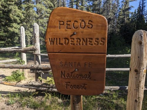
Shortly afterwards, we enter the Pecos Wilderness.
I meet two different pairs hiking the SF2T in the other direction. One said they were hiking towards Santa Fe to get the road walk out of the way first.
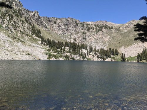
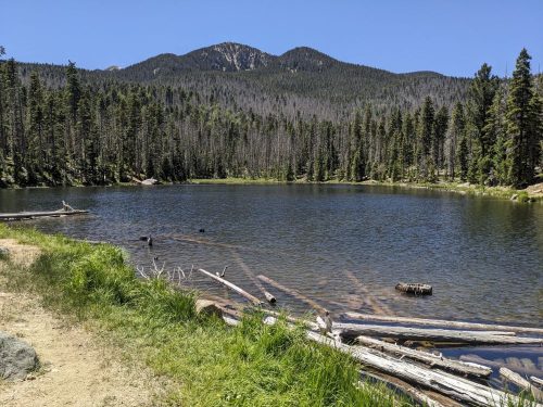
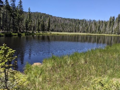
We go past three lovely mountain lakes today: Katherine, Stewart, and Spirit.
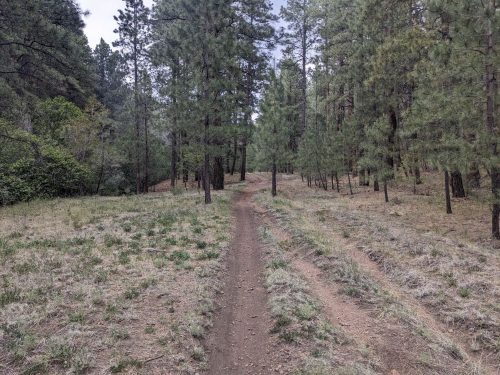
The trails today are Winsor, Skyline, Cave Creek, Panchuela, and Dockweiler, all of which I have done trail projects.
Finished audiobook The Assassination Bureau, By Jack London, finished after his death by Robert Fish.
Finished audiobook My Man Jeeves, by P G Wodehouse.