- GET 2024 day 17, Oct 17, Thursday
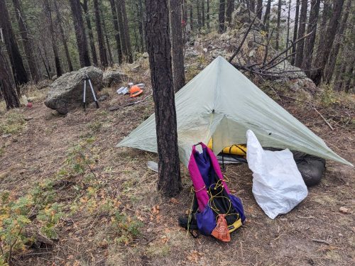
- Start Nave Spring campsite
- End Nave Spring campsite
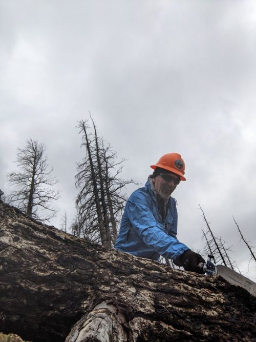
- Cleared blowdowns from 0.8 miles of Shipman, from Nave Spring heading trail E or N
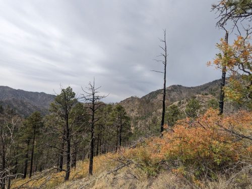
The day is cool and overcast, without much wind. Light showers last only a minute or so, including one with hail. Sawing keeps me warm.
Mid-morning two thru-hikers passed by, Squirt and Snotpiss.
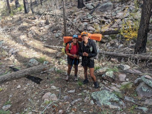
They are doing a Northern New Mexico Loop/CDT/GET custom thru-hike. When hearing that I was doing a trail-work adventure, they mentioned how nice the beginning of Shipman is now.
The sky changes from overcast to scattered clouds several times.
Finished audiobook Deathworld, by Harry Harrison.