PCT 2018 Day 28, May 20, Sunday.
Start Walker Pass Campground, mile 651
End mile 680.9, Chimney Creek Campground
Miles walked: 29.9
Past the highway we climb from 5.2k to 6.5k elevation, where one can look over Walker Pass, pathway from the Great Basin to Interior of California. 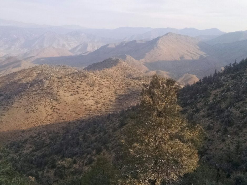
The trail seems to go way up and way down several times during the day, as hikers grumble and are not totally convinced that the route requires such climbs. By afternoon I am dragging.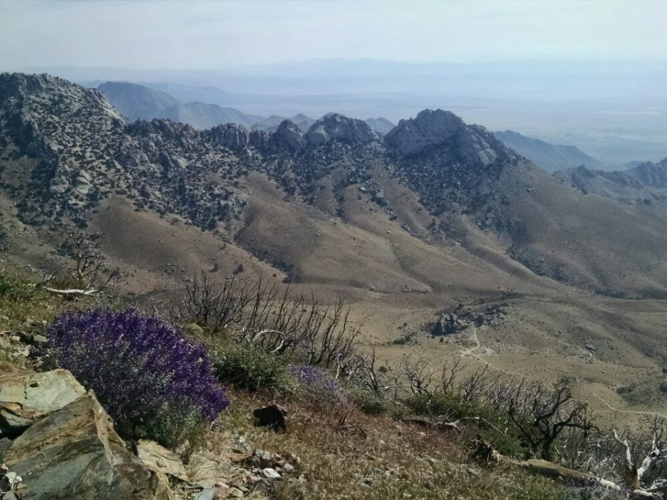
The BLM has another no-fee campsite just past a water source, where I am the only occupant, until some group arrives late and builds a fire.
Finished audiobook Scaramouche by Rafael Sabatini
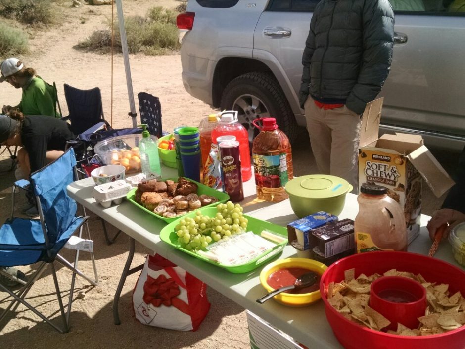
 A group of trail angels put out a lovely spread, and I graze on fresh cooked quesadillas, cold soda, brownie, celery stick with dip, Snickers for later, assorted muffins, chex mix, grapes, and– oh yeah– a couple liters of water. The route climbs from 5.5k elevation to 6.8k, fueled by trail angel brunch, easy climbing.
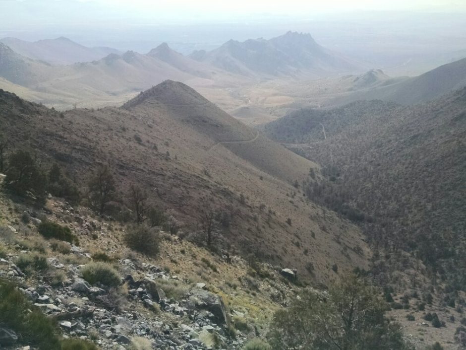
 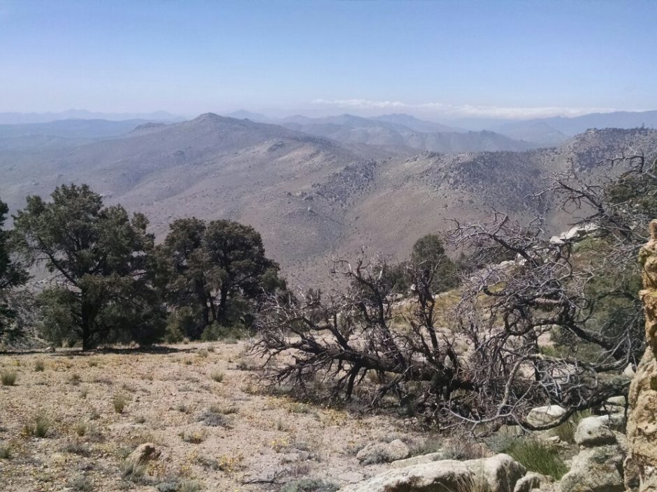 Later the path is on wide #lat mountain-top, mostly level, before descending to Walker Pass and interesting looking snow-kissed peaks further north.
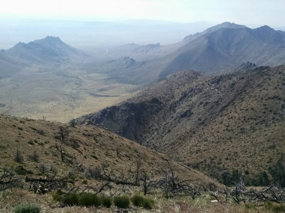
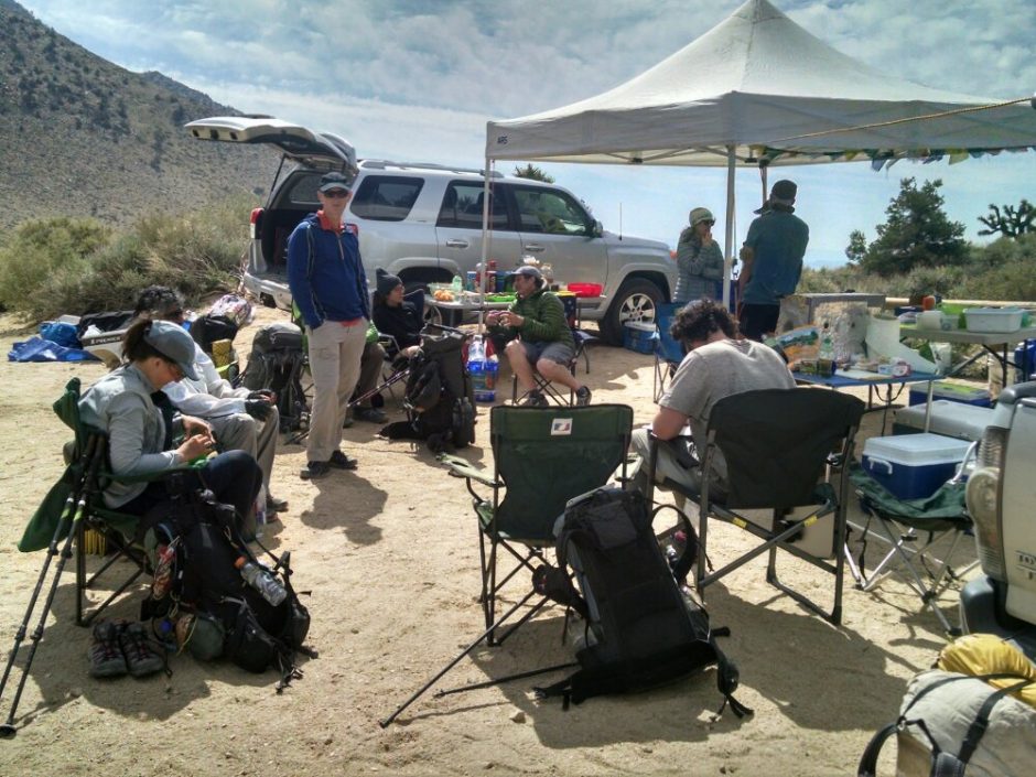
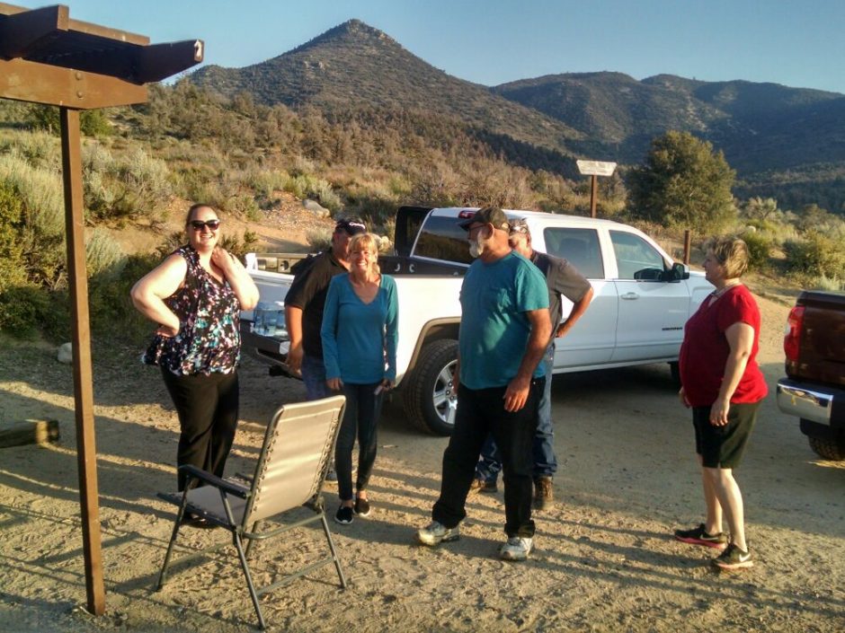
 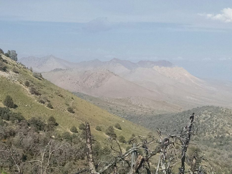 At Walker Pass Campground, another group of trail angels serve a massive slab of smoked beef brisket smothered in salsa with baked potato, rolls, and cold drinks. Some of these angels are out of Bakersfield, others from nearby Lake Isabella.
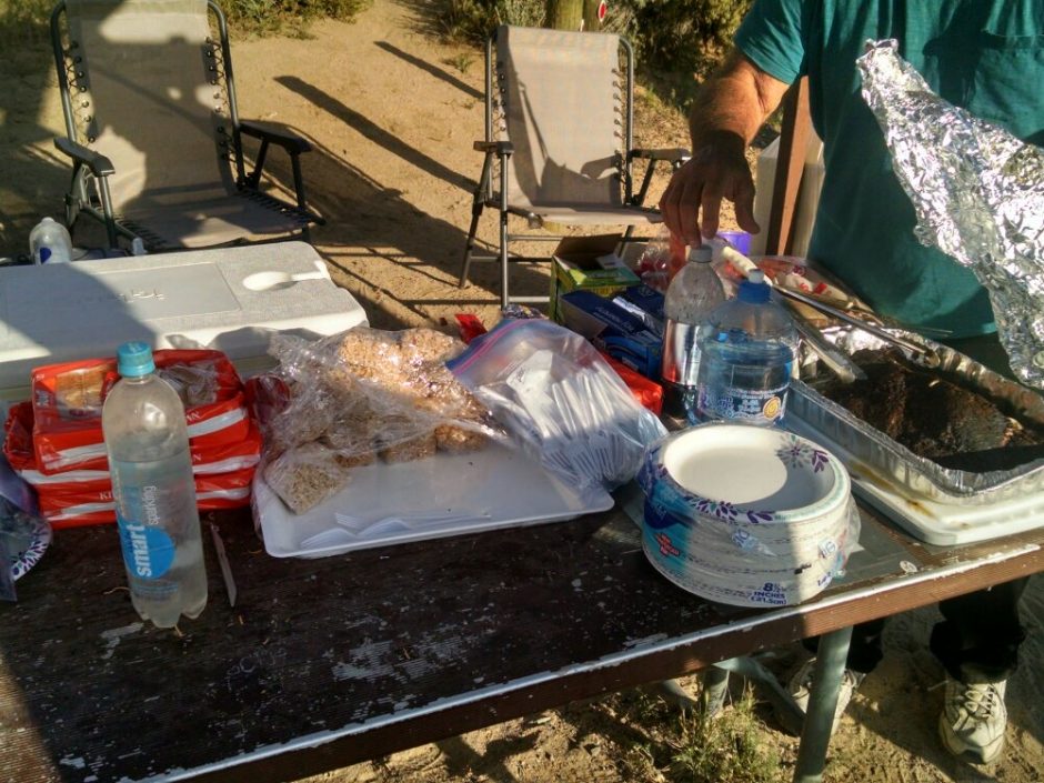
 New hiker names today included Milkshake, Blazer, Dragon, Zeroman, and John.
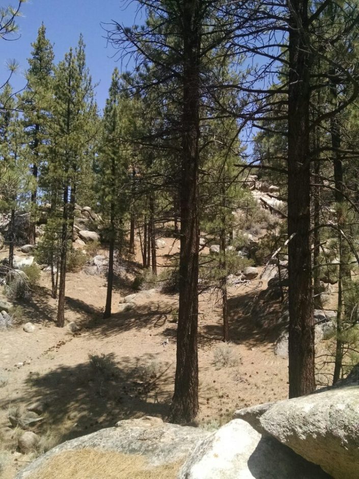 The warm air in the afternoon is welcome after several cold windy nights. How pleasant to be walking on level trail among tall pines. No hikers are seen until near a water cache at a road crossing near mile 615, where several are clumped together. Looking forward in the direction of trail, the ecozone suddenly changes to high desert.
 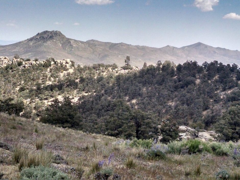 I do not see nearby mountains causing a rain shadow, so am unsure what causes such a sudden transition. The first cows of the trip regard me sourly.
 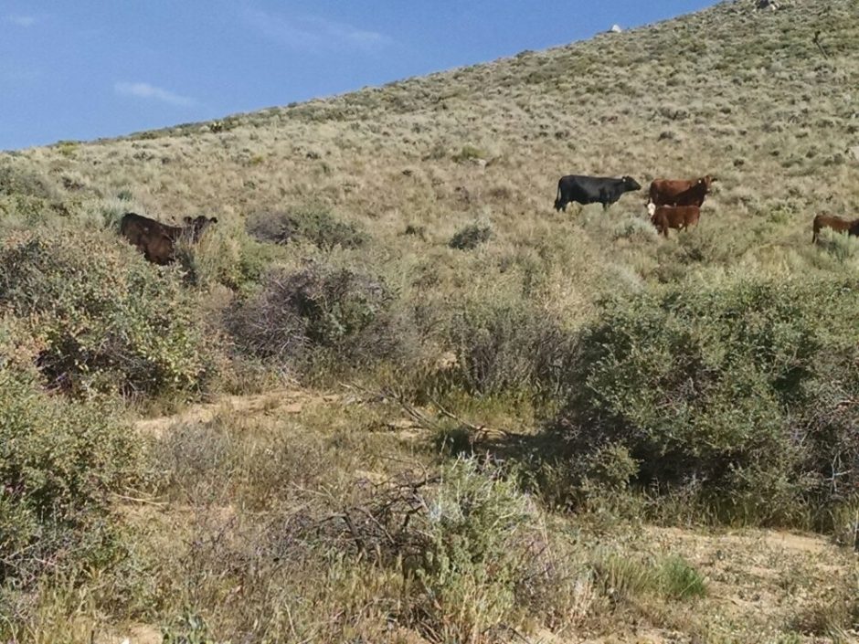 Thought for today: Does a wind turbine spin a cocoon and emerge a helicopter?