Jim (trail-name Sagebrush) codes audio software for Windows, Linux, Android, and embedded systems. When not working at sagebrush.com, he enjoys backpacking, which this blog is about.
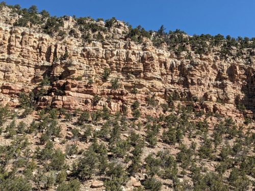
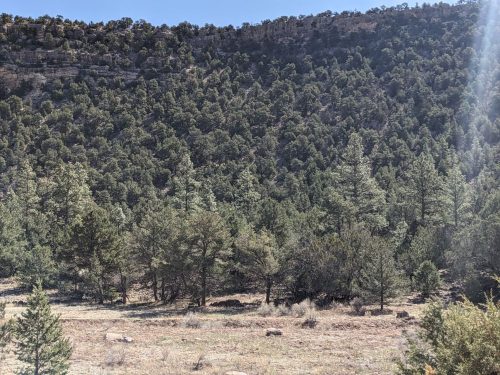
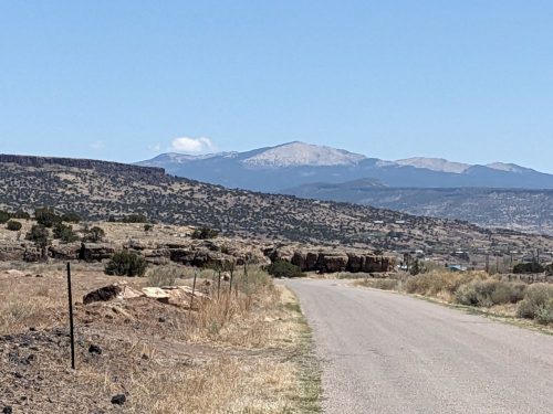
My original plan to resume a hike on the Gila X Loop fell through. But I had a crazy idea. Russ from the Forest Service sent out an email many weeks ago to several trail groups, requesting work on sections of the Grand Enchantment Trail. What if I spent the month that I had planned hiking a long trail, to instead hang out on my favorite long trail, doing sawing and lopping? I wouldn’t be putting in many miles, and the scenery wouldn’t change as often, but I would get plenty of exercise and be outdoors. I got permission from the USFS to work, through NMVFO, and here I am.
Burma Road to Shipment Trailhead is very rough, and I’m glad an entire trail crew did not have to drive on it
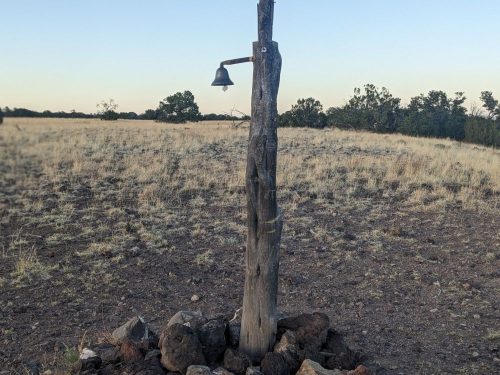
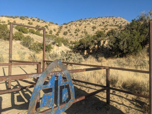
The last time I was at this trailhead was in 2021, as part of my MRT adventure, adding a section of the GET to return home
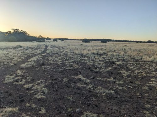
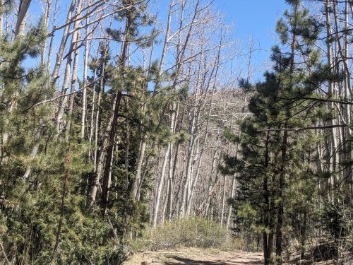
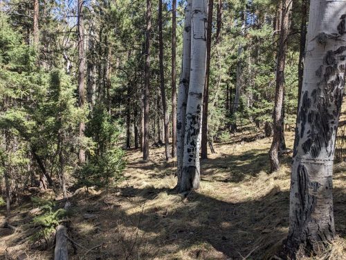
Lopping begins just past a private in-holding, and soon brush starts to get thick, but the tread is fairly visible.
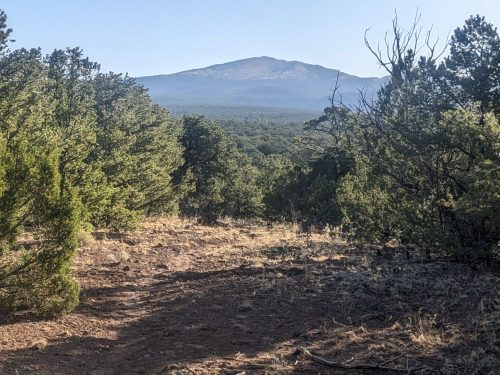
After a few hundred feet of lopping, I stop brushing and begin hiking to the first possible water source in a drainage, now dry. Hiking towards the next water source at Myer Spring, darkness falls before reaching my goal, and I set up camp.
Ground Truth: Information known to be true by direct observation, rather than by inference. In GIS (Geographical Information Systems), ground truth refers to verifying or correcting data on a map database by going out and measuring.
Truthiness: Assertion that a statement is true based on opinion, without regard to evidence. (Coined by Stephen Colbert on the Colbert Report)
The 1.0 version of the Gila X Loop is not workable, and no one should attempt to hike this route in its present form. One key connector trail between Glenwood and Gila Hot Springs, Holt Apache Trail #181, is in questionable condition after a fire, likely very brushy with thorny locust. On my route #181 connects to Turkeyfeather Mountain Trail #102, which is completely removed from the USFS Gila Interactive Map, although it still appears on plenty of printed maps, CalTopo, GaiaGPS, and OpenStreetMap. Likely there are other trails on my route that are actually non-trails, permanently abandoned by the USFS due to serious damage after fire and subsequent erosion.
I will need to re-run my algorithm, after removing trails that are not on the Gila Interactive Map and no longer recognized by the USFS. Look for v2.0 of the Gila X Loop sometime in 2025-2026, along with an attempted thru-hike for even more Ground Truth.
On another matter, I encountered difficulty hiking on the Deloche/Winn Canyon Trail #179. My algorithm attempted to exclude “deloche and winn canyon” (case insensitive), but openstreetmap.org and most sources used the name “deloche/wynn canyon”. Computer programs typically look for an exact match when comparing strings. Oops.
Lessons Learned:
Programmers get caught up in the excitement of creating an algorithm, and do not allocate sufficient energy in vetting the input data. GIGO: garbage in, garbage out.
Geographical names may have slight variations. Do not use a string “equals” matching function for cases where a string “similar” function should be used.