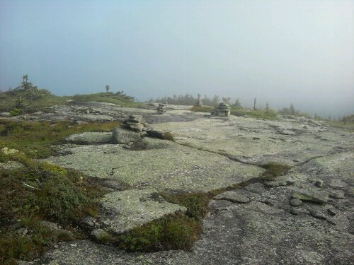
Cairns atop Baldpate Mountain in Maine, early morning.
Sagebrush personal hiking blog
Cairns atop Baldpate Mountain in Maine, early morning.
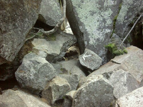
They want me to go WHERE? Mahoosic Notch Trail, the reputed hardest mile on the AT, takes me 3.5 hours to negotiate.
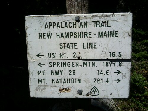
Maine state line. YES!