PCT 2018 Day 41, June 2, Saturday.
Start mile 882.9, campsite 2 miles from Silver Pass
End mile 903.9, then walk 3.2 miles on the Mammoth Pass Trail and Horseshoe Lake Trail to trailhead, and ask for a ride into town, Mammoth Lakes
Miles walked: 24.2
The walk up Silver Pass from my campsite went well in the early morning.
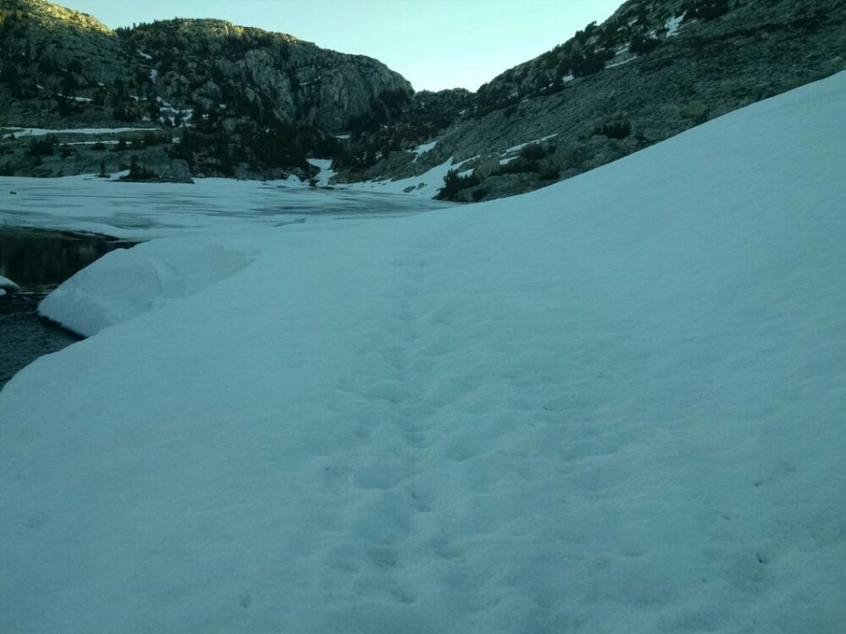
Coming down, the path along footprints was steep in places, requiring traction devices.
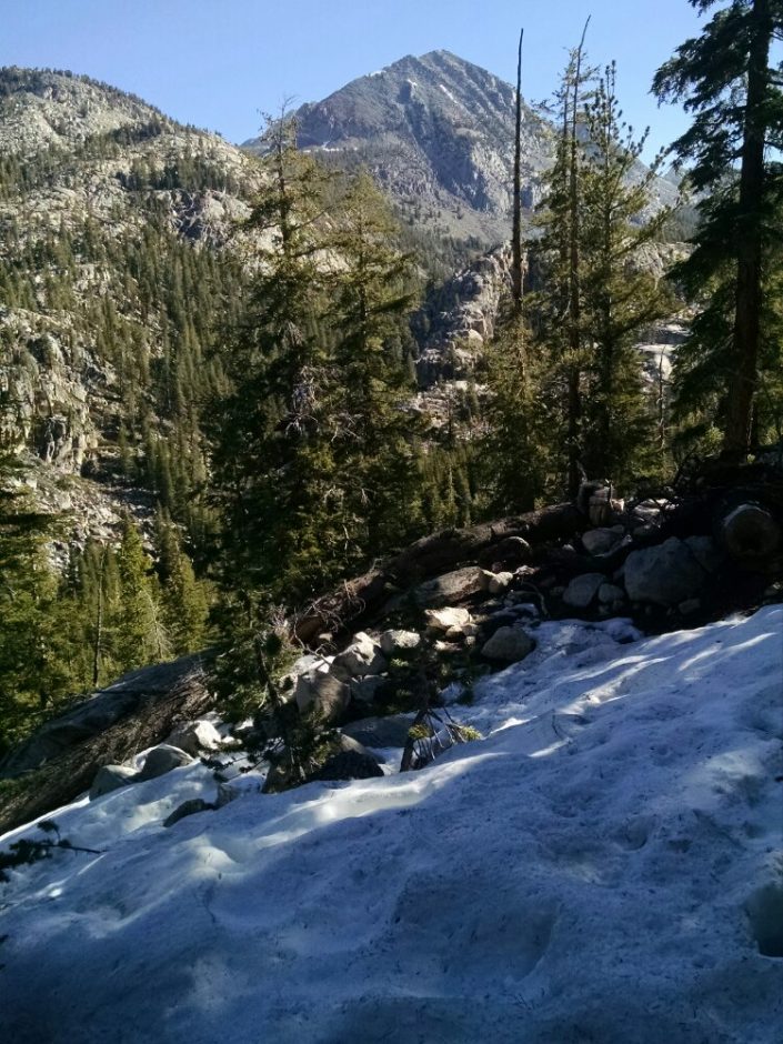
The snow on the trail-north side goes on for a good while, then appears to start to clear. Silver Pass is known for frequently having a lot of snow.
Suddenly snow reappears on the trail, playing hide-and-seek with small bits of trail showing all the way down a deep canyon, soft snow with post-holing.
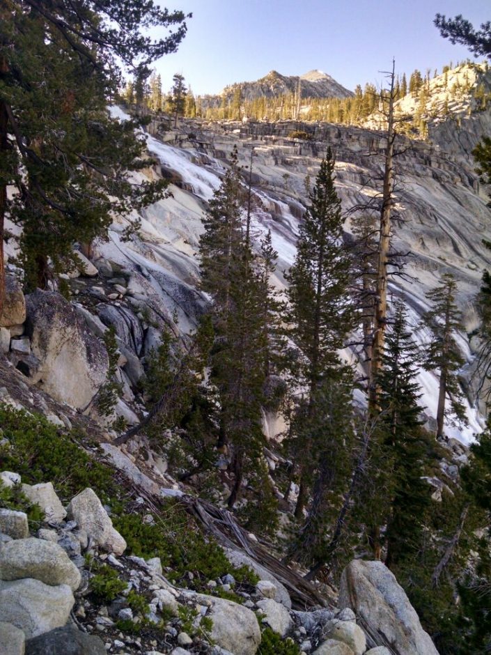
Looking back after climbing the very dry opposite wall of the canyon, one can see the snow coverage, and make out the pass on the far right.
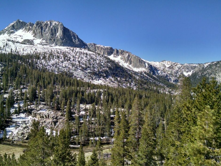
The orientation of the slope face, plus the deep and narrow canyon restricting sunlight, may contribute to the depth of snow.
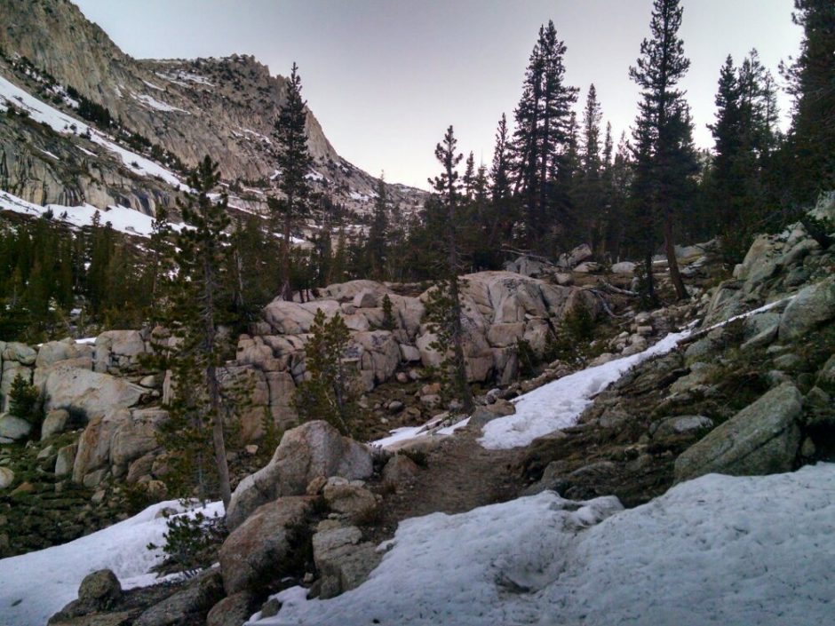
Further along the route, after miles of clear pathway, snow again covers trail at Purple Lake. Could lake effect contribute?
After clear paths for a while, tho snow starts up yet again.
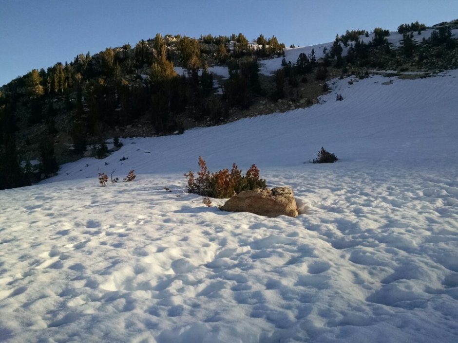
Finally, the route goes along the summit of a flat-ish ridge for a number of miles, and one can really stretch the legs with fast walking.
I take a route to the trailhead, and quickly (30 seconds) get a ride with Kevin around 6:30PM, when most cars are clearing out of the parking lot. He says the large die-off of trees near the trailhead is due to CO2.
I get a bunk at a hostel, one of two in town, and shower and get food. The rest will wait on the morrow.
 The way down was steeper, with footprints going straight down the slope in places.
 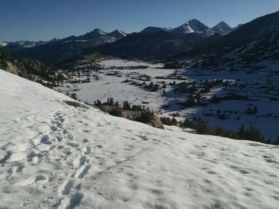 The transition from partial snow coverage to clear was reasonably quick, so perhaps only a mile or two of post-holing and seeking alternate routes parallel to snow-covered trail.
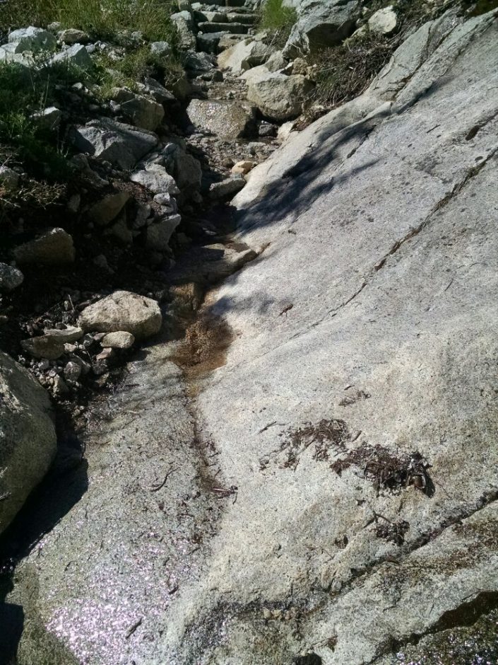 Many creek an stream crossings are necessary, and several are fords, wet-foot crossings. One of the last fords of the day was next to a waterfall, the mist spraying on hikers.
 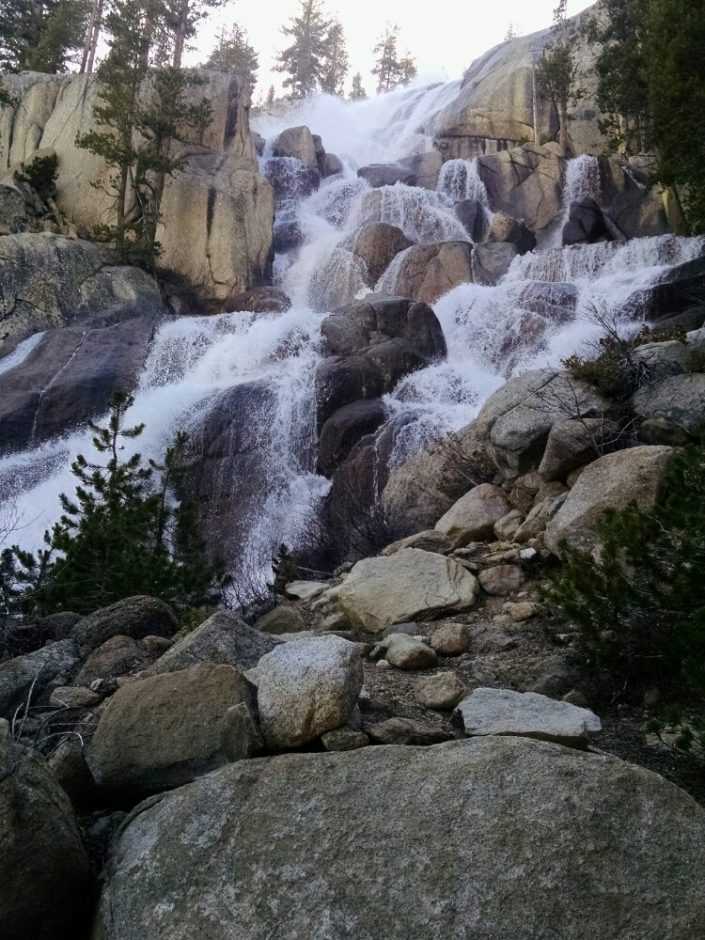 I could not zoom out for you to see how long the falls were. Here is another view.