PCT 2018 Day 51, June 12, Tuesday.
Start mile 1046.8, campsites
End campsites at mile 1073.2
Miles walked: 26.4
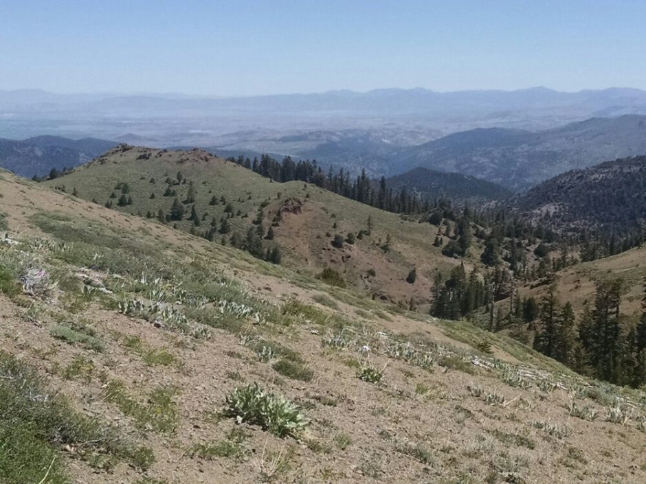
After Ebbitts Pass, snow clears, and many rock outcroppings appear, like a sandstone badlands above a forest.
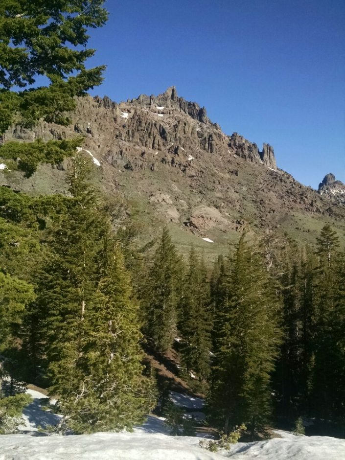 More rock outcroppings
 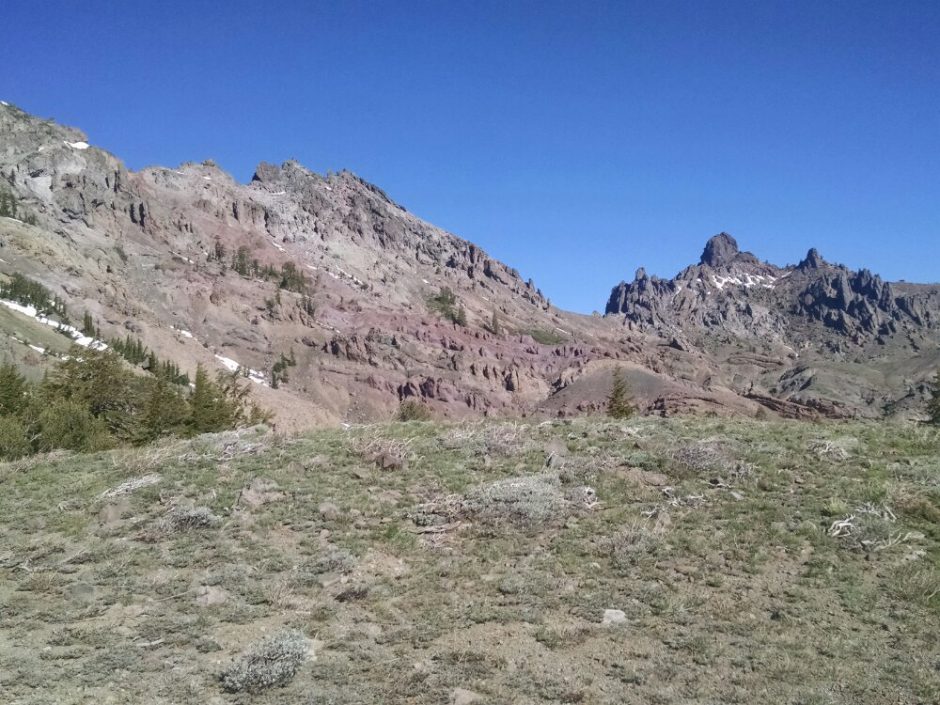 Lowlands are in the distance. For many days only mountains, no lowlands have been visible.
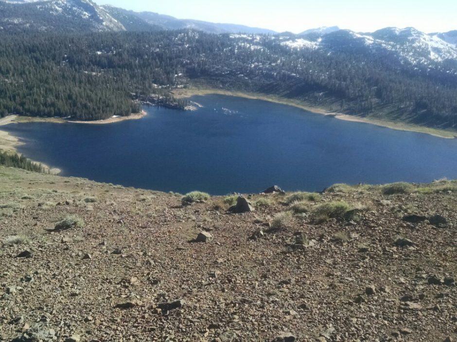
 We see many lakes in late afternoon, sort of a lake district.
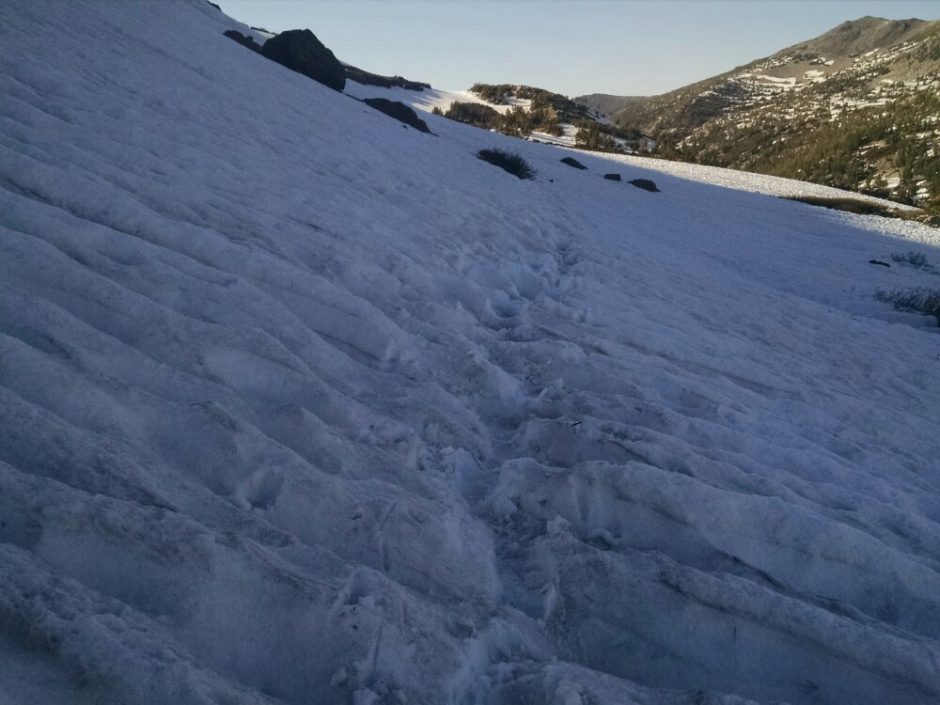
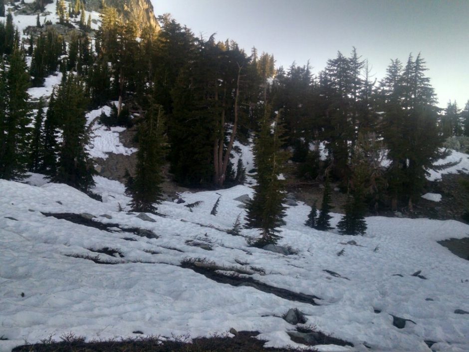
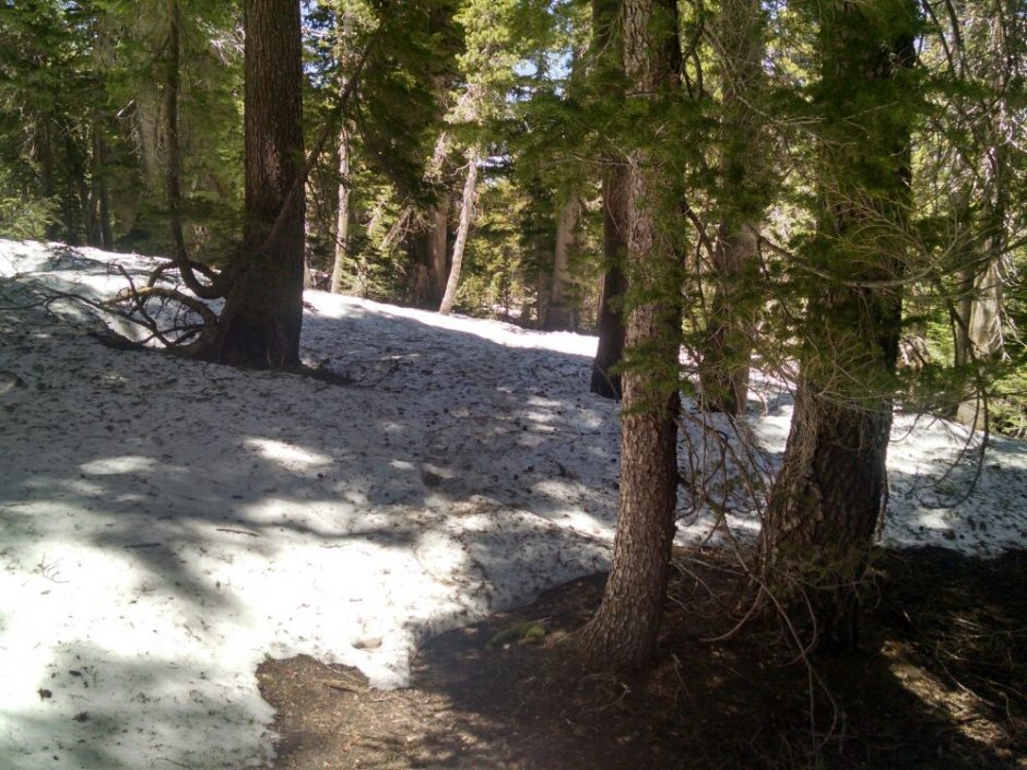
 Snow finally reappears and stays the rest of the day.
 I see Tootsie Roll and one of the couples from yesterday, but not the other.
Finished audiobook Riders of the Purple Sage, by Zane Grey.
 At the end of the day, approaching Ebbetts Pass, are many switchbacks, rock formations, and steep ravines.
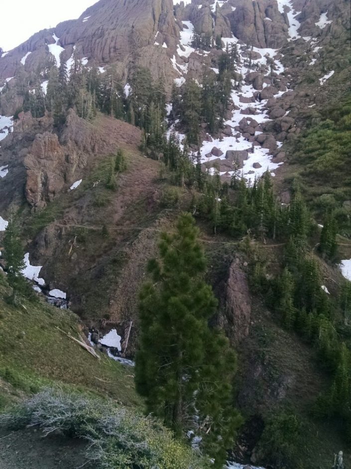 Two couples and one lone hiker were seen several times today as we kept passing each other.