HDT 2022 Day 32, May 2, Monday
Start along Swamp Ridge S13 mile 24.9
End along Tapeats Creek S13 mile 36.7
Miles walked: 11.8 !!
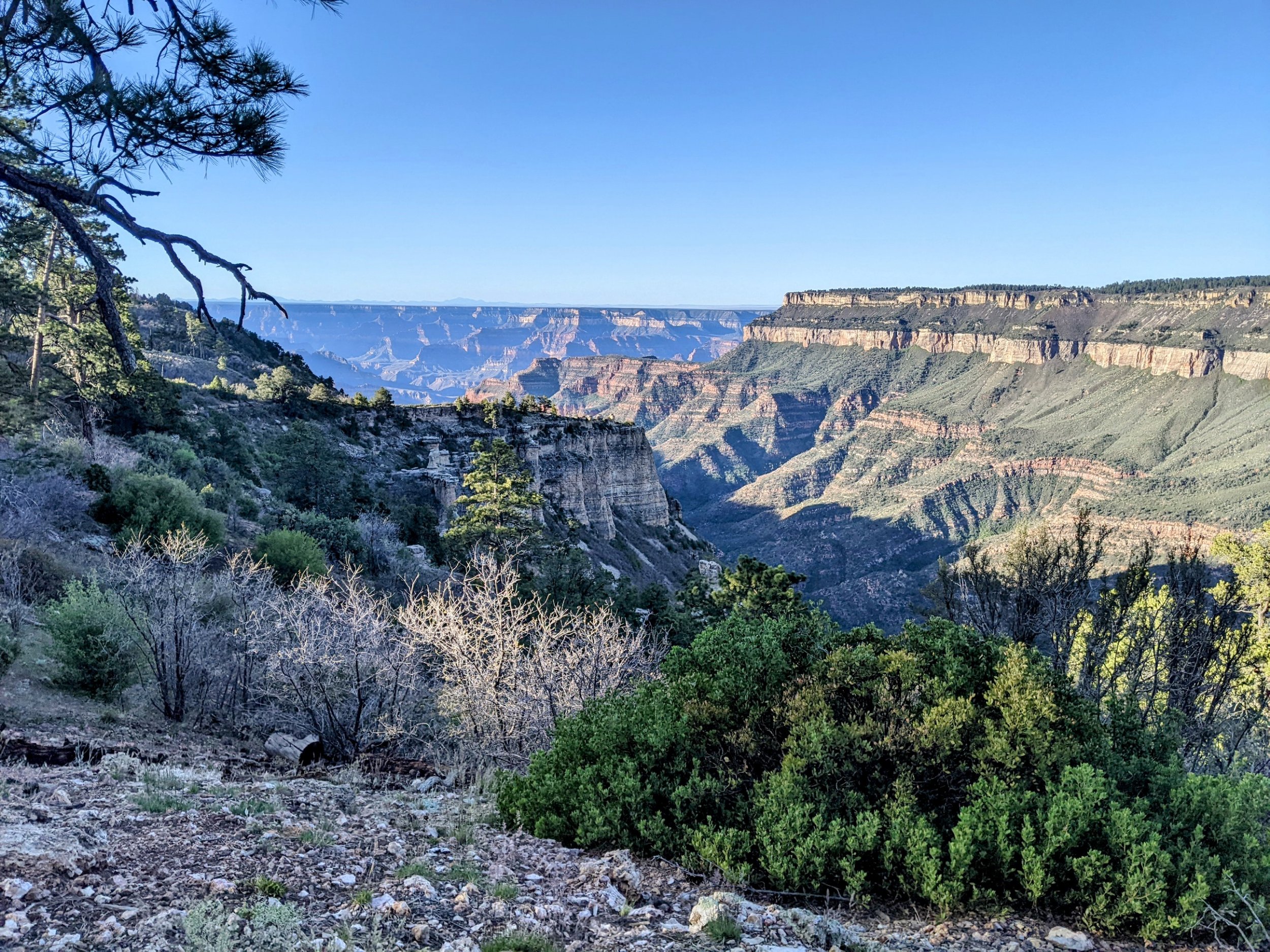
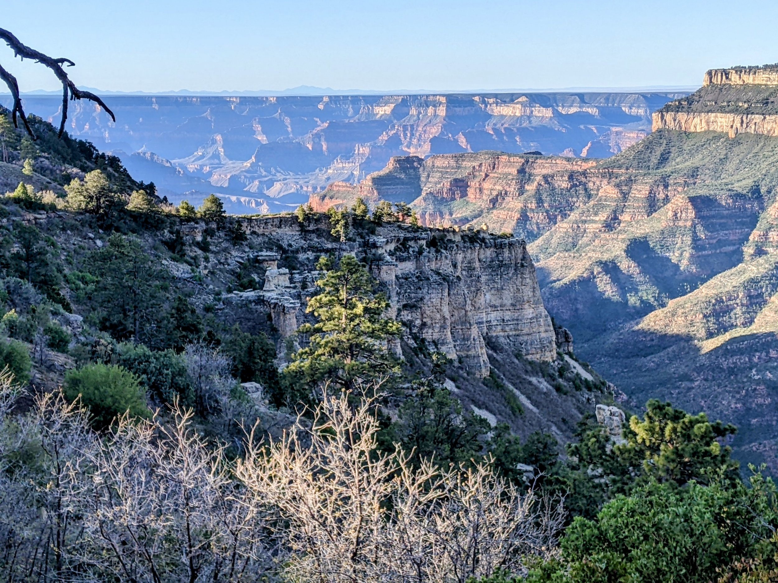
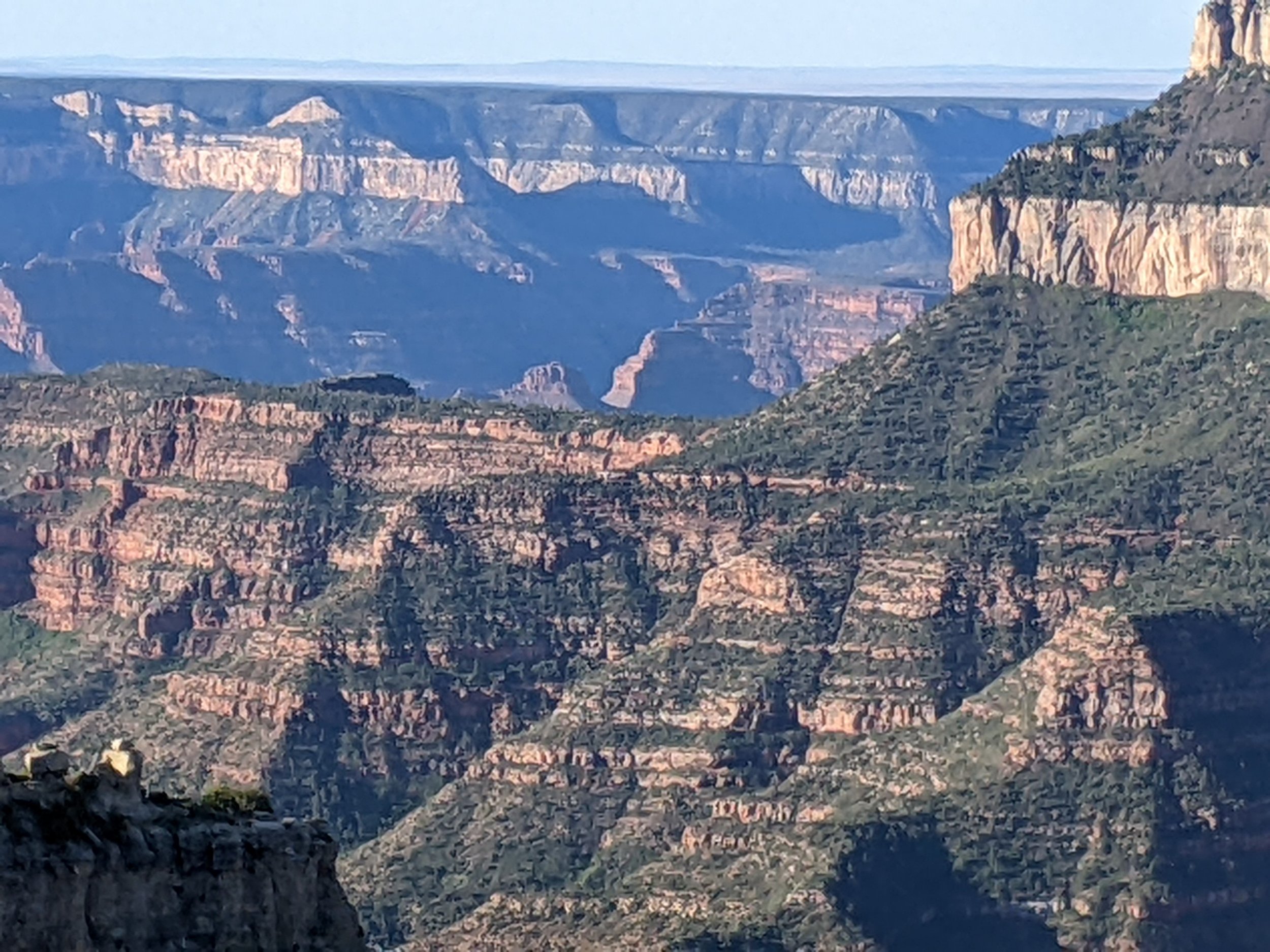
Continuing a short distance along Swamp Ridge, a viewpoint shows off the Grand Canyon with early morning shadows..
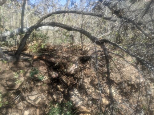
Going down North Bass Trail a short distance, the route leaves the trail at a saddle and goes down a wash,
The wash is very brushy, slow going.
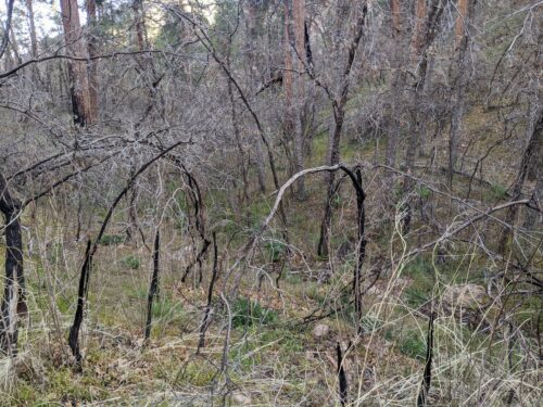
The brush is Gambels Oak and locust at first, changing to other vegetation lower down. Gambels oak bends way over when scorched by a fire, and whether the tree survives or dies, it stays bent over to block my way.
As the wash gradually deepen into Saddle Canyon and the brush lessens, there is a fair bit of boulder hopping.
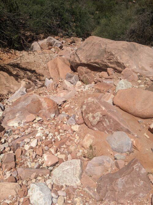
The canyon, trying to lose altitude quickly, has several drop-offs that must be climbed down. I ended up keeping my line handy for lowering down my pack.
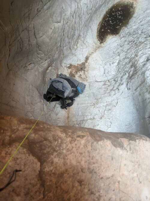
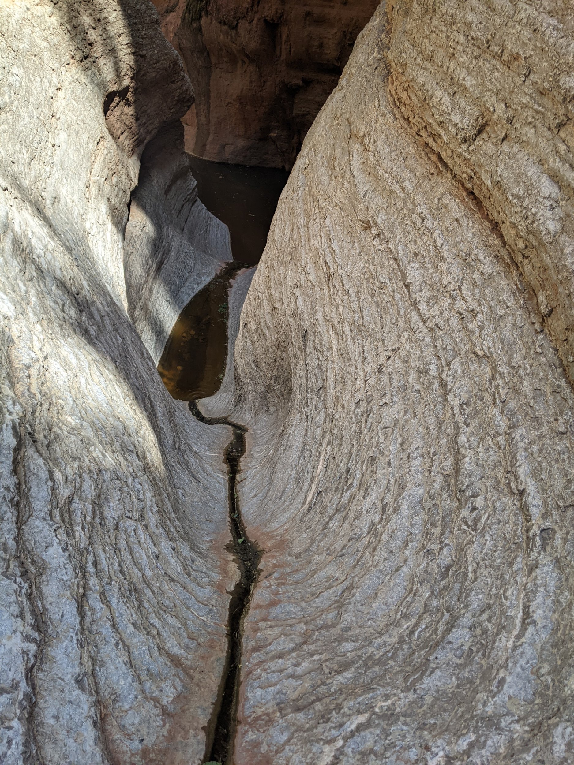
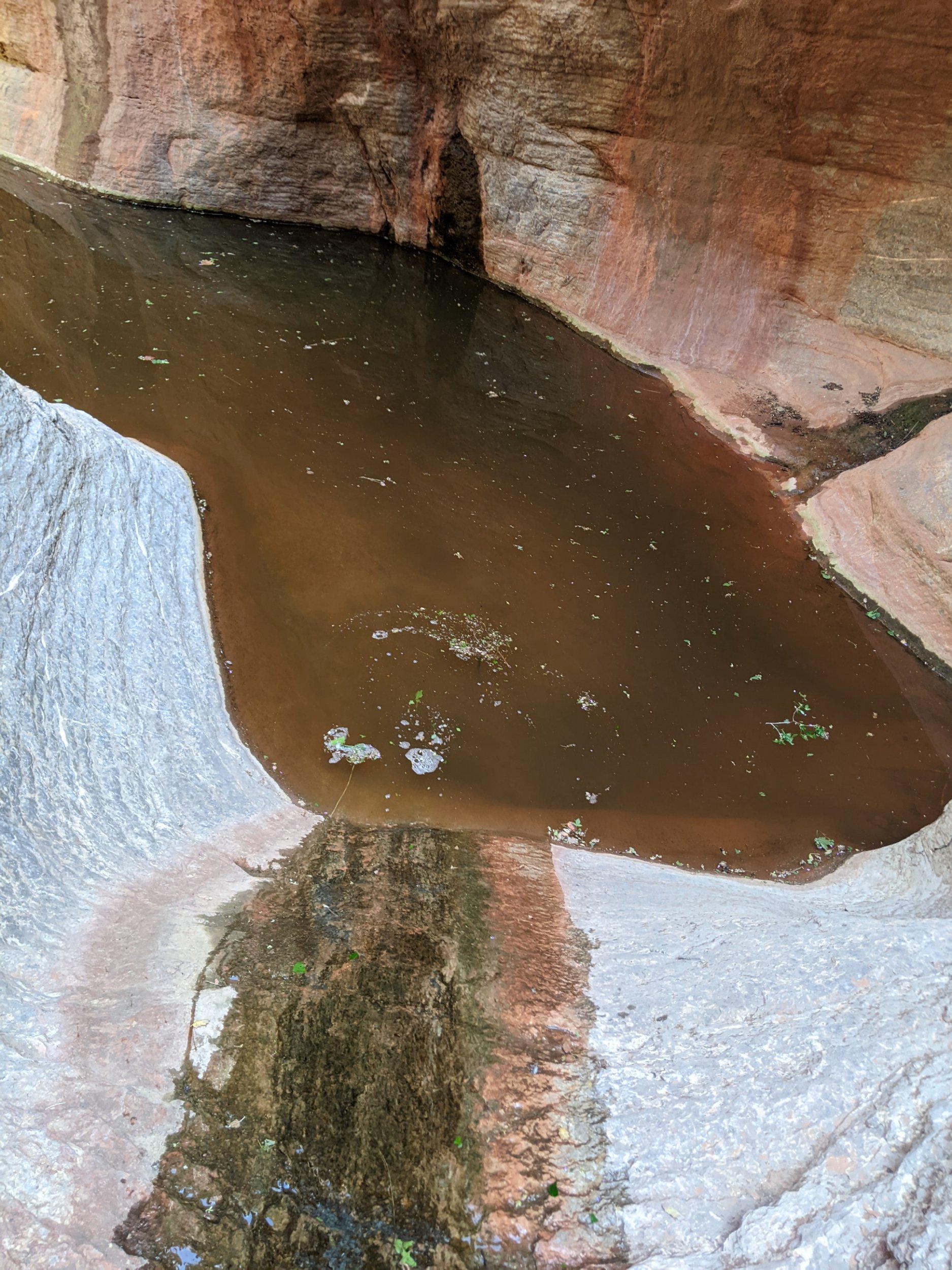
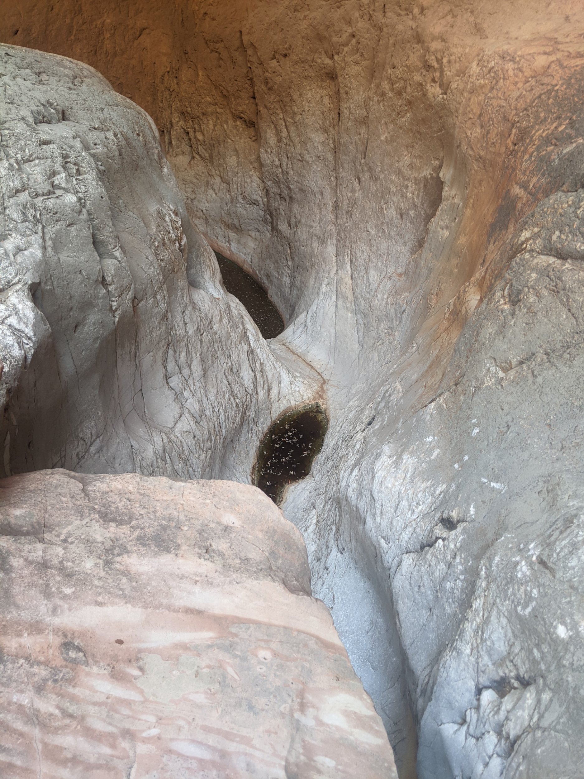
Saddle Canyon has several pools of water in smooth rock, sometimes with a leading trickle of water in a chute, like a waterslide. Some chutes can be bypassed by a narrow ledge, but for other, in narrows, one must slide down and plunge into cold water.
Along with all the boulder hopping and waterslides, several unclimbable dropoffs needed to be bypassed. The six miles of Saddle Canyon is the hardest stretch in recent memory.
Merging into Tapeats Creek, a small trickle of water is running, which soon dries up.
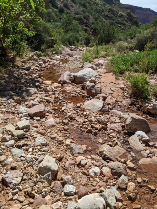
Tapeats has plenty of boulder hopping, but no other obstacles like dropoff bypassing. Since the channel is dry, it should be easy going, but my legs were already weary from Saddle.
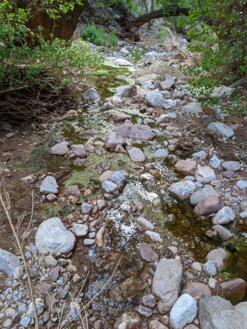
Eventually water reappears, complicating boulder hopping. Then suddenly, fed by a side channel, Tapeats becomes a torrent.
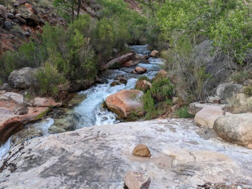
I try crossing the fast water, and am able when I can choose the crossing location carefully. But the “creek” goes through narrows, with no bank on either side, where you are meant to walk in the water. This appears a dubious task, since the water is flowing so fast.
I climb hundreds of feet up the north bank, looking for a high water route. Only 0.7 miles remain before the route leaves the creek, but that may be a highly difficult fraction of a mile. I cowboy camp on a high ledge, the roar of the water filling the canyon.