Gradual downhill, forested, no views. Mid-morning I met a south-bound long-distance section hiker that really did not like the new route up Parkview Mountain (12.3k) as being way too steep and complicated with a snow-covered ridge. She urged me in strongest terms to drag out my Ley map and take the older route up the mountain. Later on I looked at the map and tried to understand the issue.
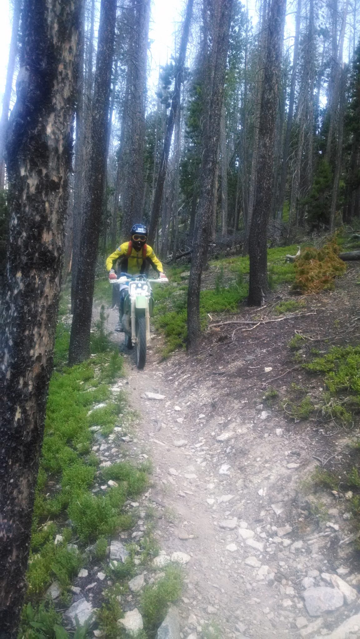
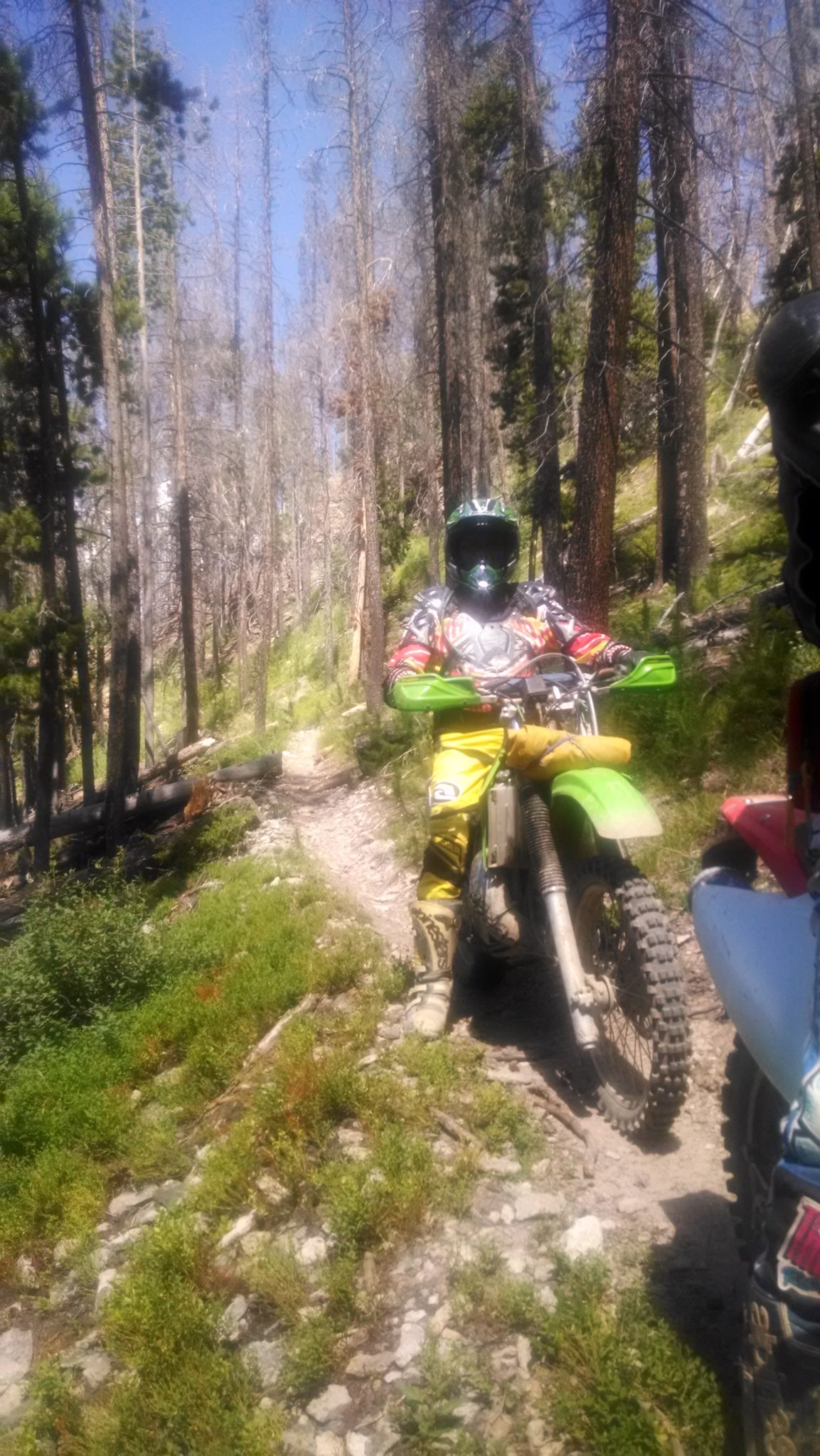
Close to Willow Creek Pass, the trail takes on a characteristic V-notch shape that indicates motorcycles use the path.
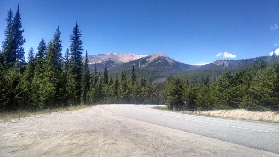
At the pass the trees part enough to get a view of Parkview Mountain.
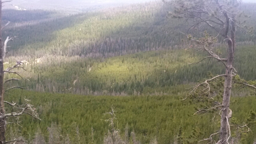
Here is beetle kill in two lines in the trees. How did that come to be?
On the ascent to Parkview, I did manage to take the older route, though it meant going without GPS waypoints for a while. The climb was tough but not unreasonable.
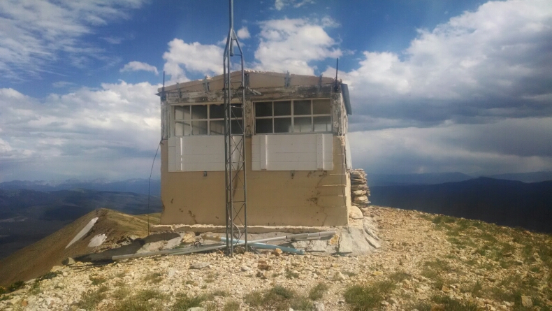
At the summit is a tiny radio hut.
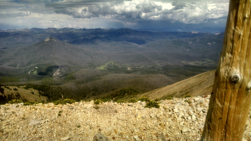
Over to the east one can view Rocky Mountain National Park.
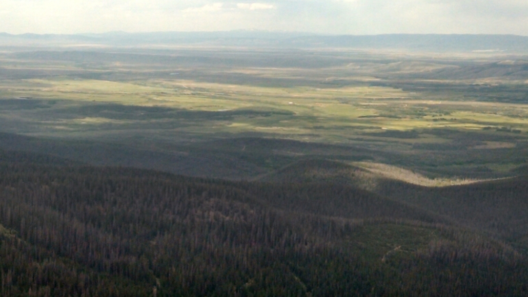
To the north is a large area with no mountains. We are heading west to get to more mountains.
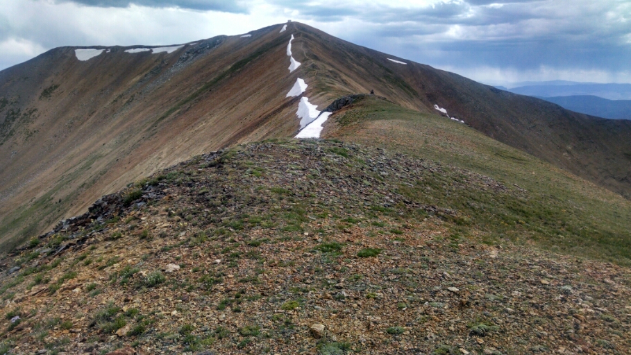
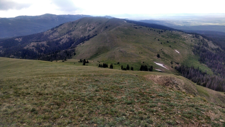
Coming down from the summit we follow damped-oscillation ridges.
We follow along another ridge for miles, cross-country with no path, marked by cairns and posts, with steep drop-off on the left and gentle grassy slope on the right. Some rain showers fell after threatening for some time.
Finally, after a long evening walk, I reach Troublesome Pass. Good name– need to research how that name happened.
Day 35, 7/242014, Wednesday
Start 37-088WT, mile 1390, elevation 10983
End Troublesome Pass 38-118BAP plus one mile, mile 1414, elevation 10005
