Near Taylor

  • CDT NM 2025 Day 21, Sunday April 27
  • Start CDT mile 530.5, in heights after trailhead north of town
  • End mile 555.6
  • Miles walked: 25.1

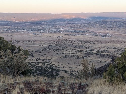
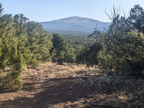
A view of Grants rewards an early morning climb.

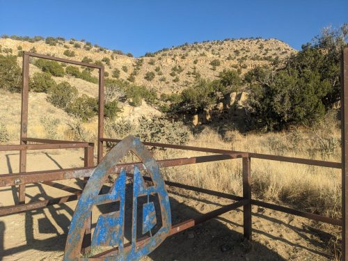
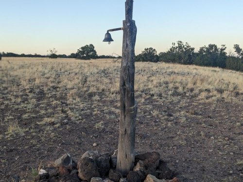
Someone added a bell to a cairn post, as the route continues on a mesa.

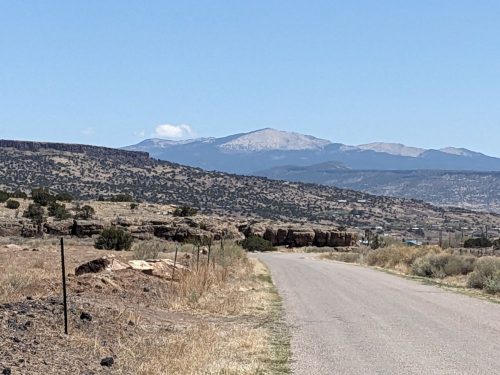
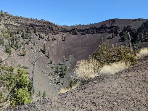
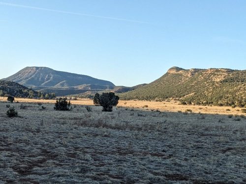
An alternate trail goes to the summit of Mt Taylor, but I stay on the red line.

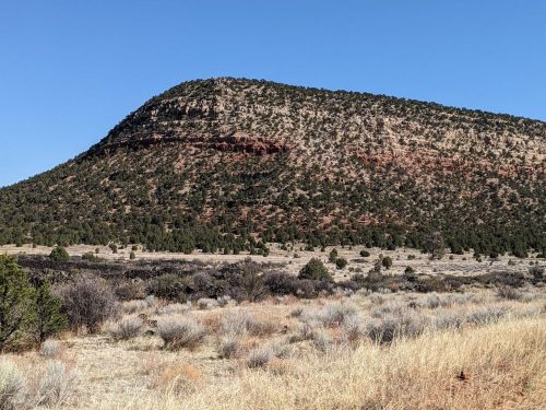
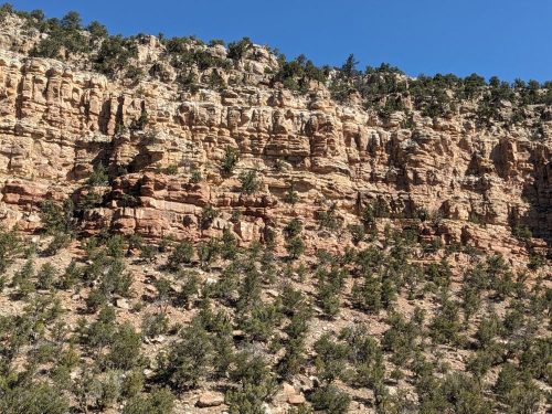
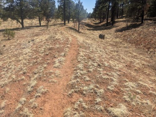
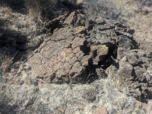
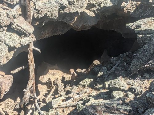
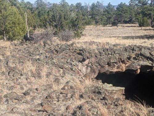
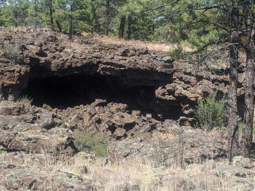
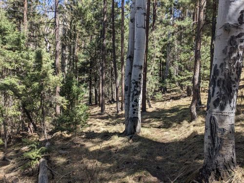
The route goes on some bewildering ups and downs today, with trees hiding the shape of the terrain. We are often at an elevation to have aspens, too early to leaf out.

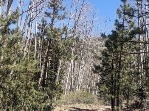
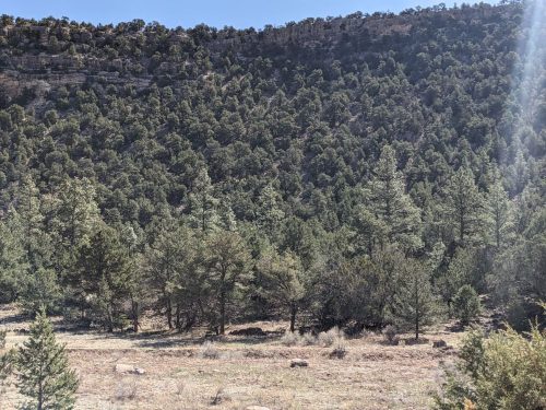
Thick forest with Ponderosa suggests a history of fire suppression, but I am just guessing.

I meet a hiker, Kangaroo, the first I have seen for days.

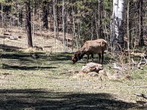
Gradually we are losing elevation. I see an elk grazing on green grass. We haven’t seen grass actually green much on this trip.

Gradually w

I meet someone filling a water cache at the end of the day: Thanks for helping us hikers! It is several miles until the next good water.

Finished audiobook Star Ship, by Poul Anderson.

Through Grants

  • CDT NM 2025 Day 20, Saturday April 26
  • Start Bonita Zuni Alternate mile 4
  • End CDT mile 530.5 in heights after trailhead north of town
  • Miles walked: 27.5

Continuing on Bonita Canyon, the route gets to Zuni Canyon and follows it east for several miles.

Zuni Canyon is narrower, with higher walls. The south-facing wall has less vegetation, and the geology is more visible.

The north-facing wall has more vegetation, with trees managing to grow on extremely steep slopes.

Zuni Canyon Road starts as a gravel road, and transitions to pavement on the approach to Grants.

Exiting the canyon walls brings us into the suburbs of Grants.

Twelve years ago when going through Grants I stopped at the Mining Museum. Now I see a History Museum that happens to be open, and notice there is a Historic Airways Museum to explore someday.

Did you know Grants was involved in growing carrots? I did not.

I knew about nearby Bluewater Canyon, but not Bluewater Dam, likely used to provide water for carrots.

Here is the first telephone switchboard for the city.

After the museum I appreciate the nearby park.

I stop at Smiths Grocery for food resupply and snacks, and then hike on. I have only been on trail for 3 nights since Toaster House, and am not ready to spend another night in town yet. Maybe at the next town, Cuba.

The road out of town passes by a prison.

Hitching is discouraged near the prison.

At the trailhead I climb up the trail for a mile or so to a flat spot, and pitch a tent.

I had been cowboy-camping recently, but wanted to try a tent for more warmth.

Finished audiobook The Amazing Adventures of Letitia Carbery, by Mary Roberts Rinehart.

Flow and Spew

  • CDT NM 2025 Day 19, Friday April 25
  • Start mile 473.5
  • End Bonita Zuni Alternate mile 4
  • Miles walked: 26.3

My water bottles froze again. That has been happening a lot lately.

Soon the route goes by spiky lava, very different from the viscous flow from yesterday.

I believe this is called A’a, a Hawaiian word that is said to be what you would yell if you were walking on it in bare feet.

After a short highway walk I come to Bandera Volcano, the largest of the Chain of Craters.

A short walk allows a view of the volcano caldera.

As a tourist spot, Bandera offers wifi, snacks, water, and latrine for hikers.

After another short roadwalk, I arrive at the El Malpais Monument Visitor Center, closed long term, sadly. El Malpais comes from the Spanish for “bad country”.

A path follows an old railroad grade, possibly for hauling lumber.

The path starts passing several areas of lava, typically weathered into rocks averaging 10 inches or so. Here is a rock showing gas bubbles during formation.

Here is a slab of lava in the process of breaking into several rocks.

Soon instead of walking past volcanic rock, we are hiking on top. Several caves are visible, from collapsed domes.

Walking on the lava is treacherous: a spill could be quite painful. Ask me how I know.

I wish these photos could convey the deep variations of black of the rocks, mixed with red and orange highlights from minerals leaching out, and the colors of lichens on exposed rock. You will just have to come see for yourself.

The route passes by several collapsed domes that are quite long, hundreds of feet.

The edge of a cave gives some idea how thick the lava flow was in that area.

Eventually the lava tour ends, and I go on the Bonita Zuni Alternate, up a wide grassy canyon.

Finished audiobook Five Continental Op Stories, by Dashiell Hammett.