PCT 2018 Day 69, June 30, Saturday.
Start mile 1496.1, last campsite before interstate crossing
End mile 1514.4, campsite
Miles walked: 18.3
Walking down to Interstate 5, I got a ride into Dunsmuir, a small tourist town about five miles away. 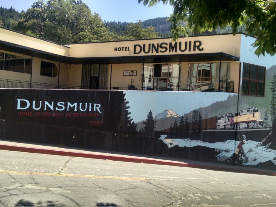 I met Salty and Wifey, who had found a ride together, and we had breakfast together. My omelet had Hatch green chile, and several servings of hot tea helped make up for going no-cook on the trail.
Afterwards, each of us go to the grocery store to resupply, and by now each of us have our own system to estimate the right amount of food and repackage for the trail without wasting too much time. Later I go to the library for wifi, but cannot update blogs because their system is too slow, but I find a business with open wifi and finish the task. Wifey leaves town quickly after packing a sandwich, but Salty and I stay for separate lunches and return together.
With full packs, our task is to climb from 2.2k elevation to around 6k, starting in the heat of the day. Smokey pulls ahead, doing well on uphill. The rock formations of Castle Crag state park are impressive, visible for the rest of the day as I climb ever higher on the ridge. 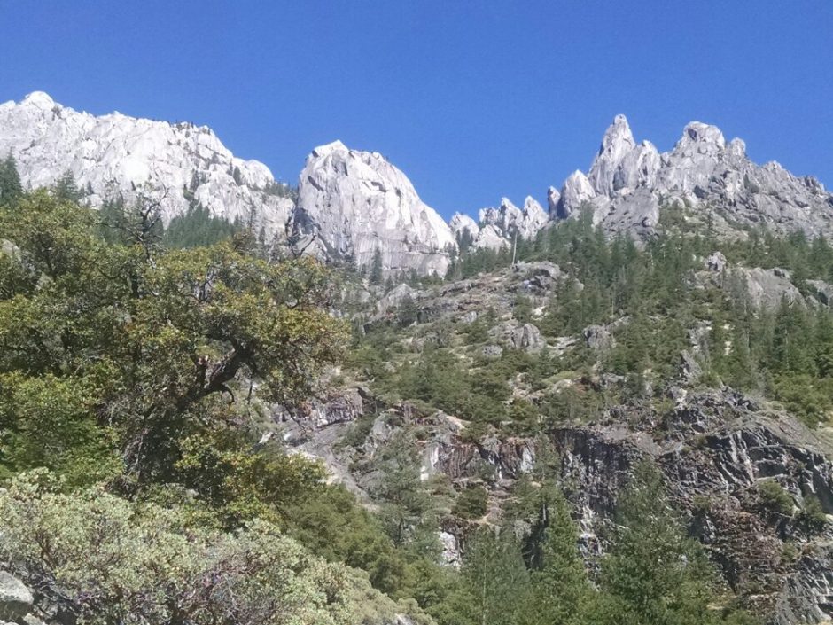
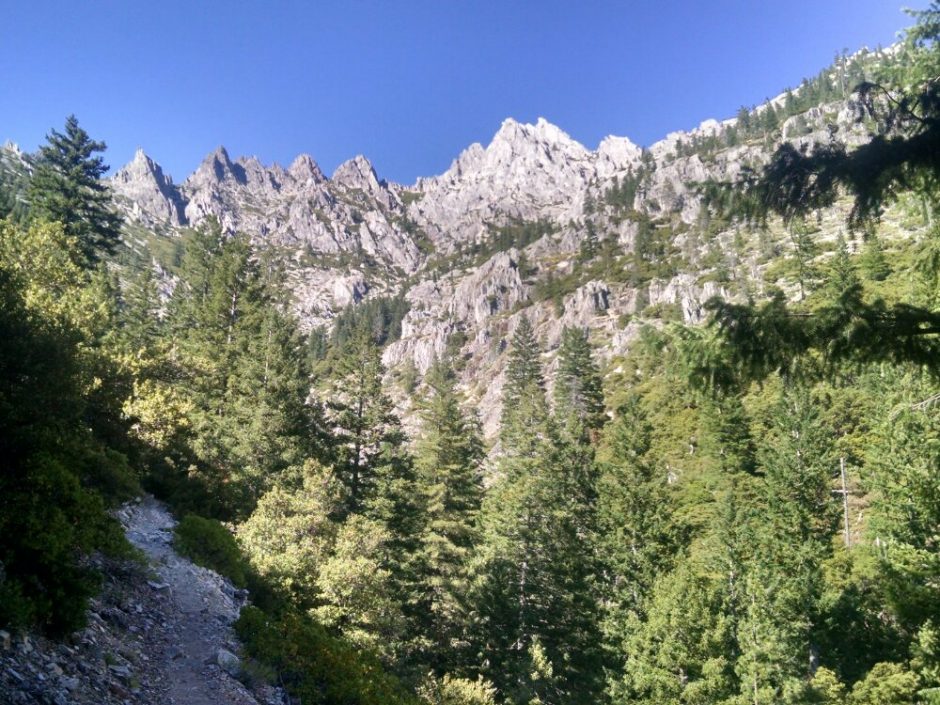
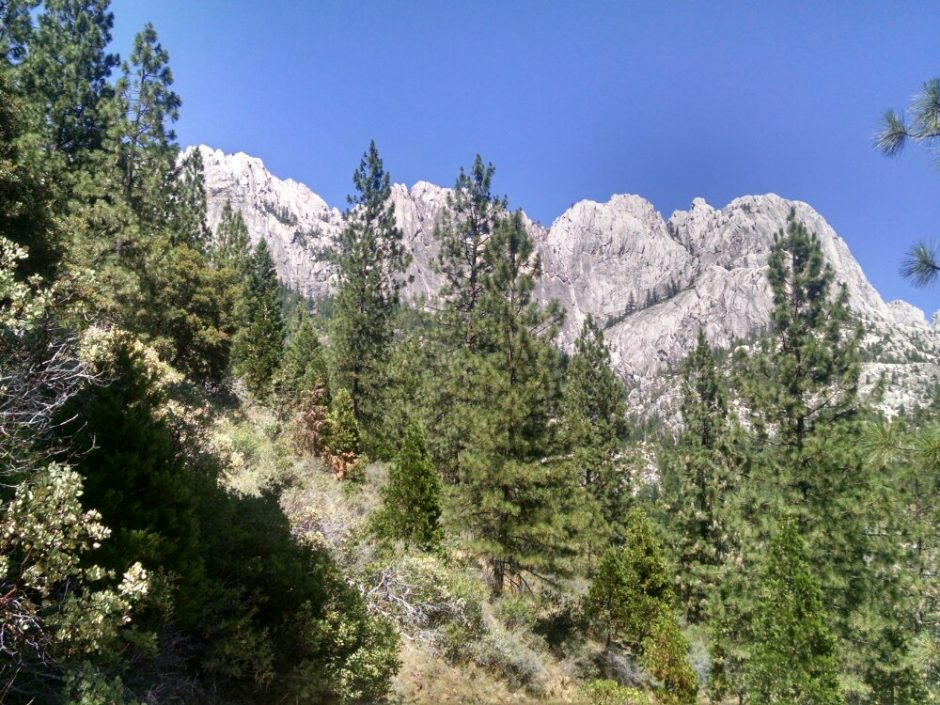
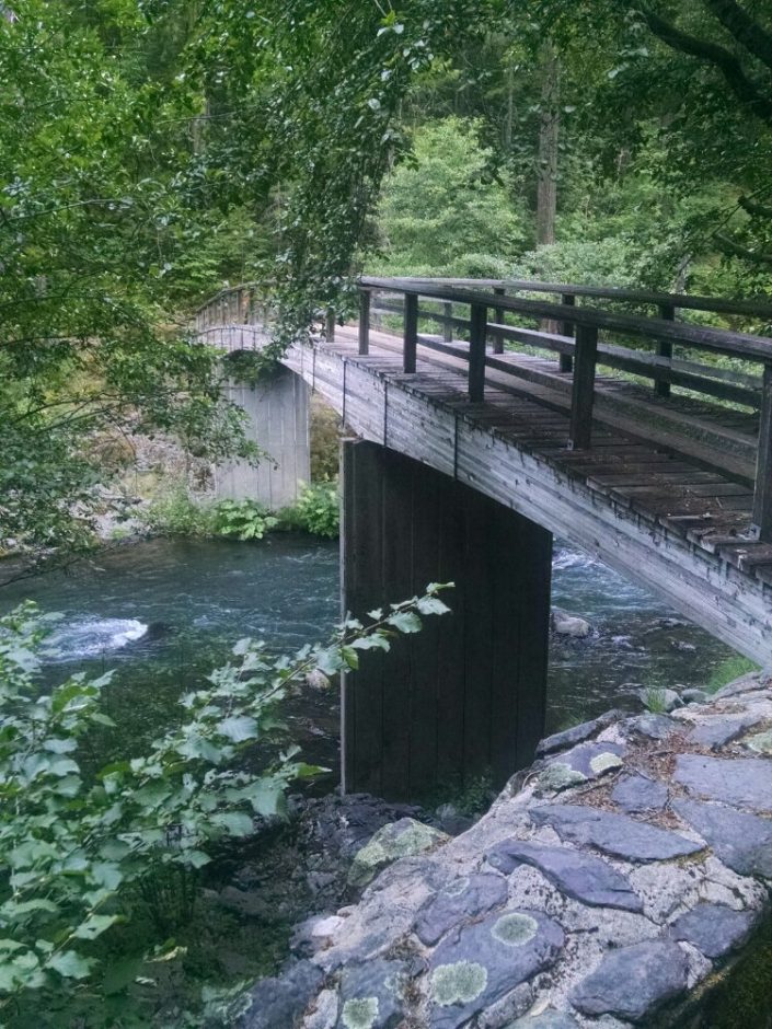 Then the trail uses a repurposed abandoned road. I was hoping for more of this– a pleasure to walk.
 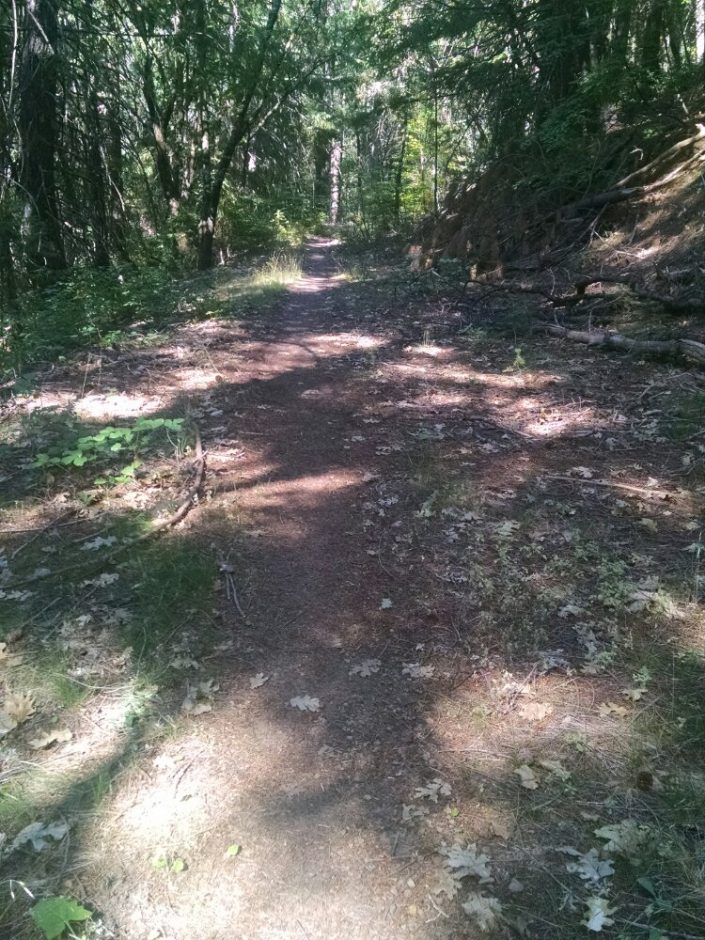 Then more steep slopes along Squaw Valley Creek, with another crossing.
 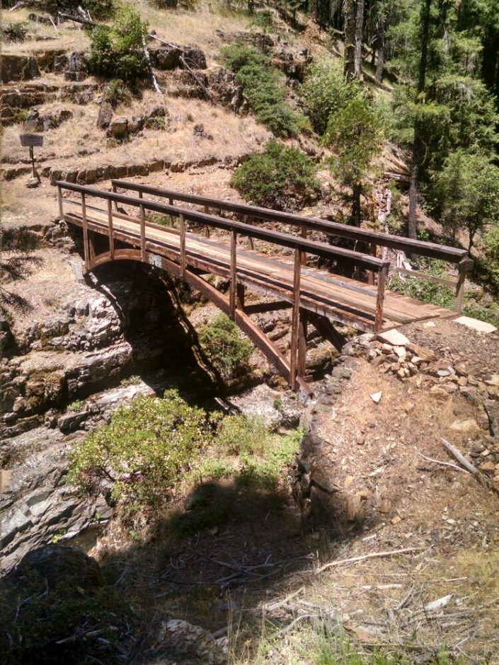 The bridge had deep pools of water at the bottom– so tempting to jump in. I later learn that Salty did jump in here!
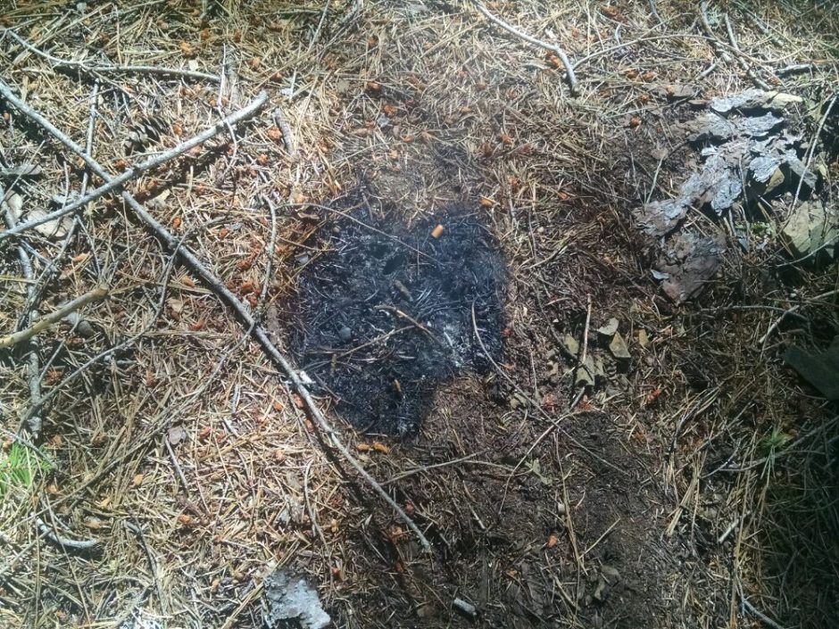 I try to put it out with all my remaining water, but the fire is stubborn (like burning old horse manure back home). You keep stirring it around looking for hot spots, and another one appears that you had missed.
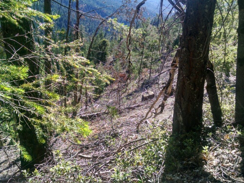
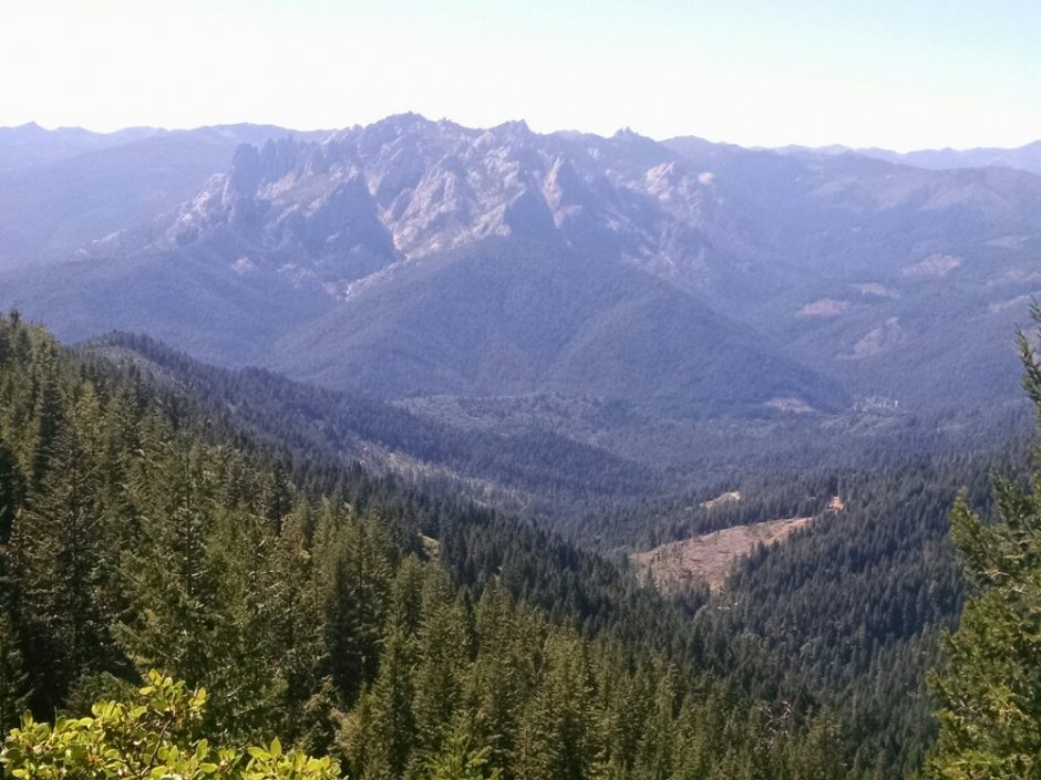 Here is an example of clear-cutting right up against the PCT. I did not think they would get this close.
 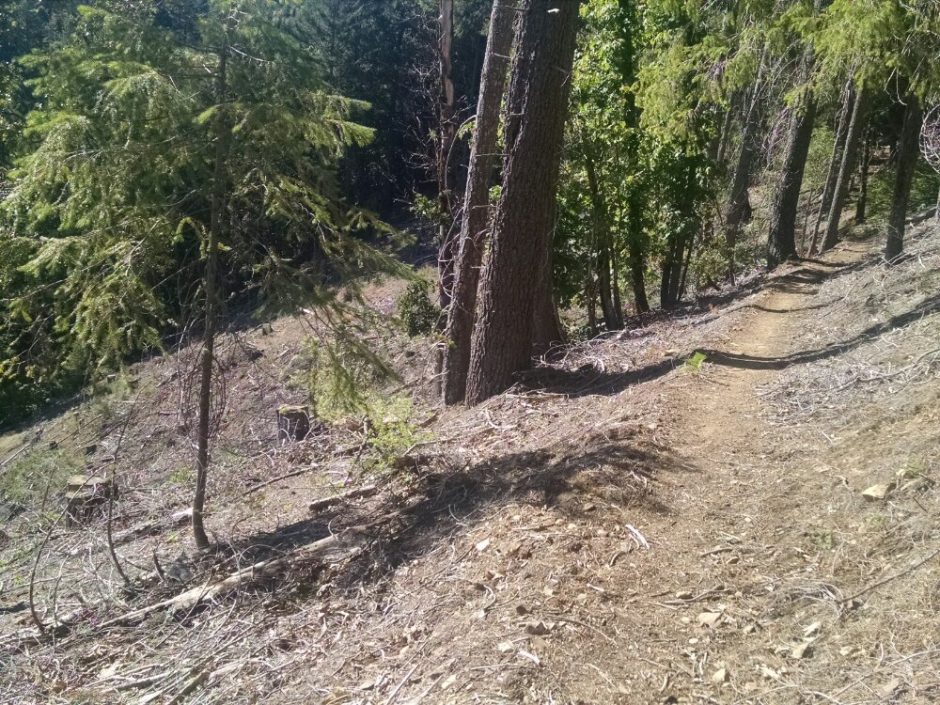 The slopes for this logging are really steep, which must be a challenge for loggers.
  I see Salty at the next to last campsite to the interstate, and we try to coordinate contacting the same trail angel to get a ride into town in the morning. He did not see Wifey, and I have not seen him today since breaking camp. Puzzled.
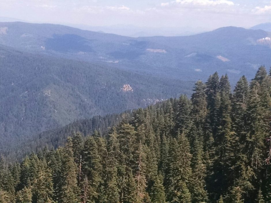 You may be able to make out clear-cutting patches in the photo. The elevation stayed fairly level at 5k most of the day, dropping to 3k at the end. Not many views today, except Mount Shasta grows ever larger. Wifey arrives at the campsite soon after me, and we discuss strategy for the next resupply.