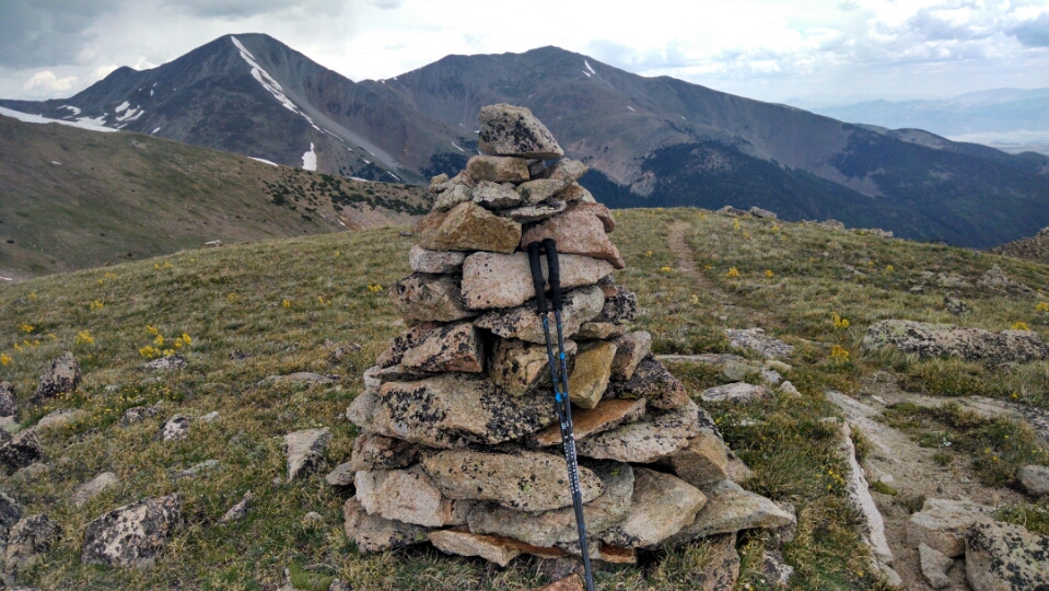
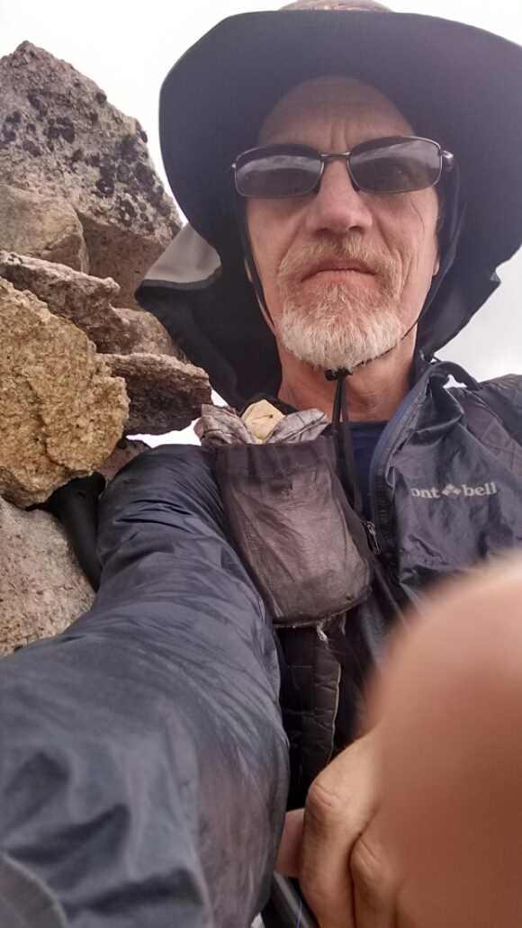
When I asked the hotel clerk where was the best place to hitch for Monarch Pass, some guys in the lobby overheard and offered me a ride. They come out to Colorado every year from Georgia to hike a week or so, and just completed a 14k peak. Tony, the driver, thru-hiked the AT in early eighties.
When we got to the pass I had to go into the store up there to help the economy.
On the trail by 9AM, quite good for coming out of town.
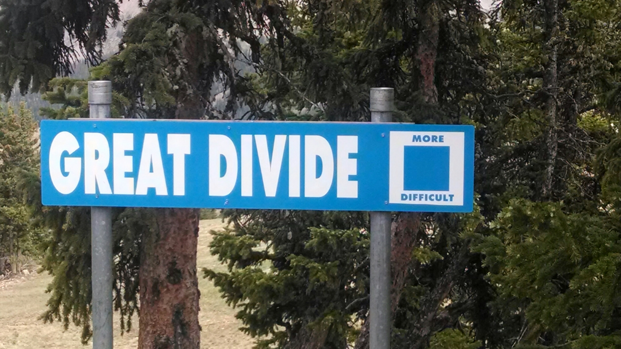
This sign at the Monarch ski area, “Great Divide– More Difficult”, denotes a ski trail that follows along the divide. But perhaps, on another level, it is a commentary on the CDT. (But some parts of southern Colorado might be “black diamond” early in the season.)
The path ascends out of the trees onto a high ridge. Oh good, I love this style of high trail that goes way up a ridge, then follows level along a mountainside for miles, offering panoramic views along the way.
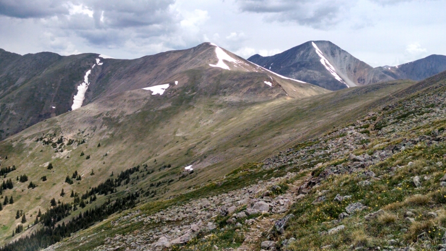
Rain starts on way down
A tree near the bottom near a lake offers shelter for an hour while hail accumulates near my feet,
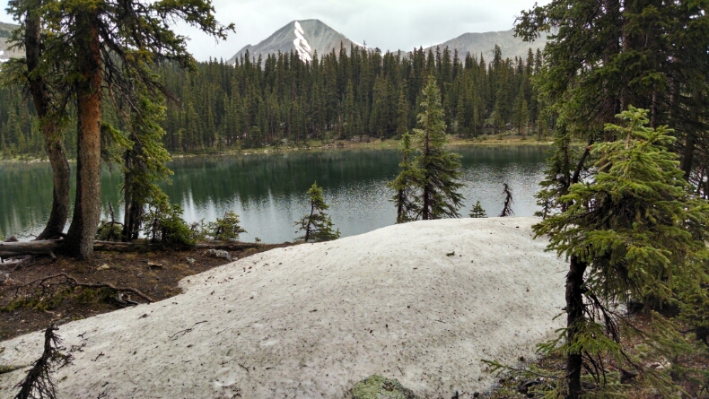
Wondering how much longer the rain will last, I peer towards the trail ahead and see a tiny patch of blue in the sky.
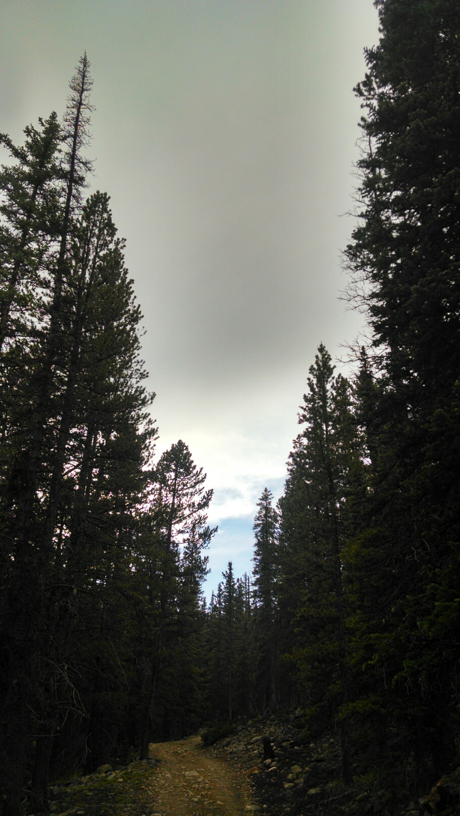
After walking towards the blue for a few hundred feet the rain decreases and then ceases. Several times during the day clouds threaten overhead, but I can see a bit of blue sky ahead in the distance, and keep hiking towards the blue.
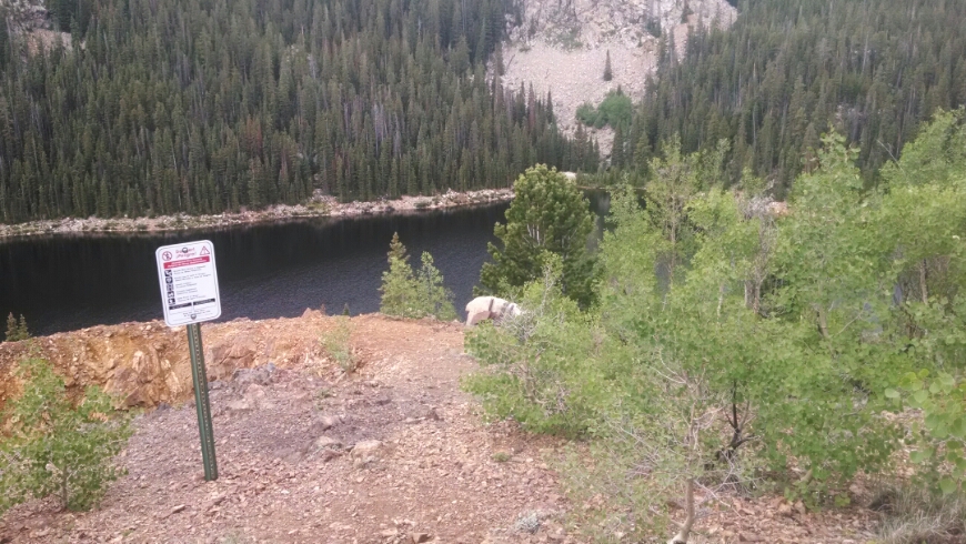
The trail descends down to Boss Lake
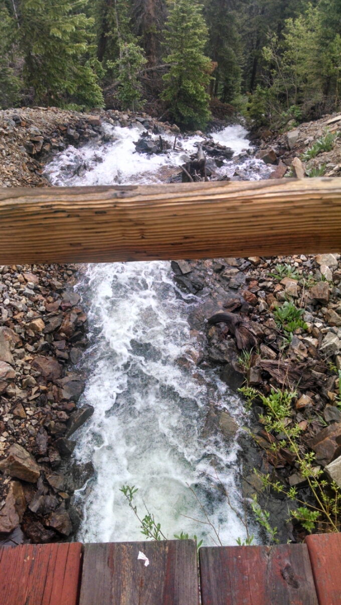
The outlet to the lake is surging with water, just a huge flow rate.
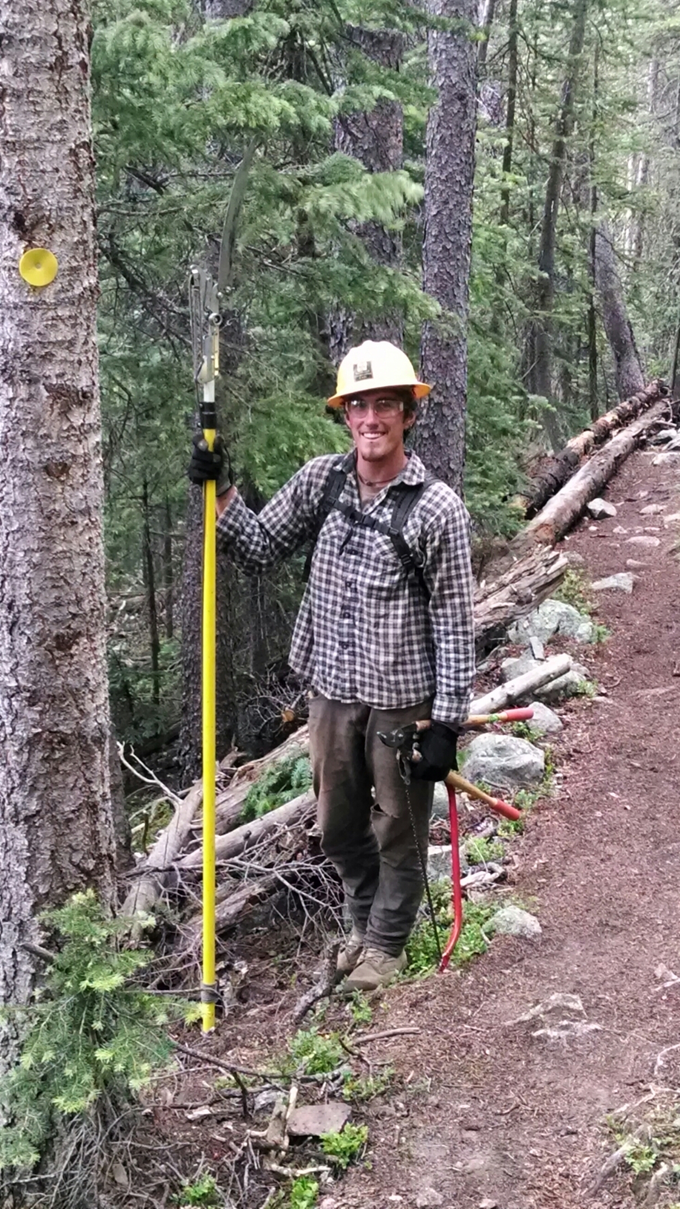
On the way down from the lake I meet people working on the trail, from the Southwest Conservation Corp. Young people sign up for a six month tour of duty.
Later I pass a really cute two-story cabin along the trail and talk to the couple inside coming out for a hike.
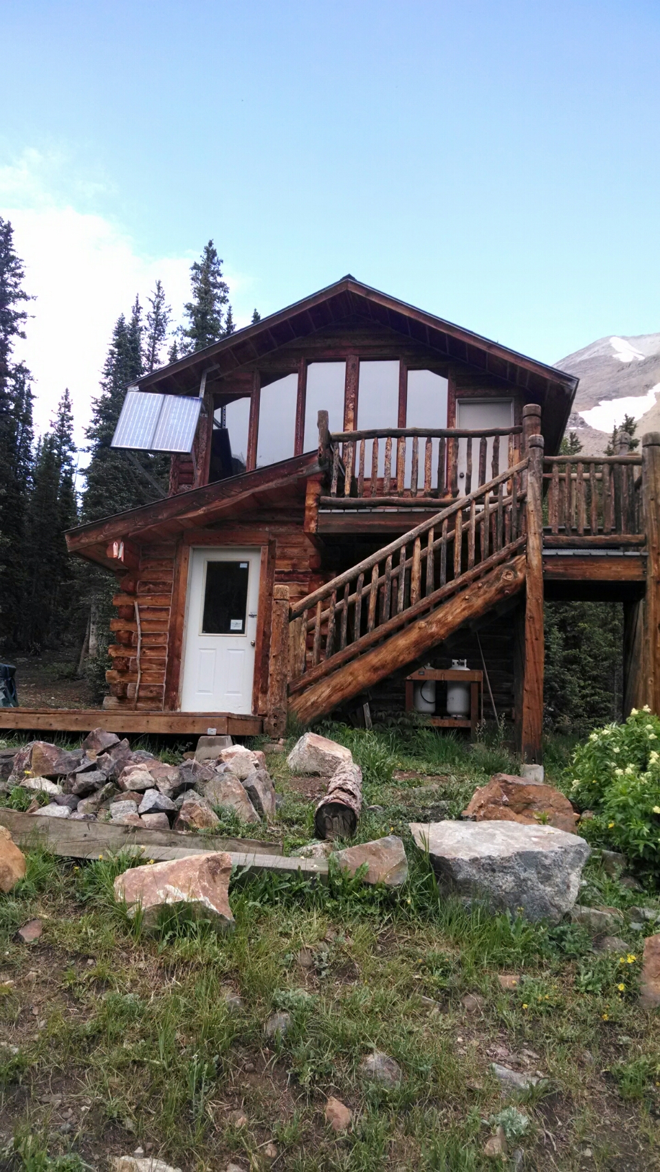
They were renting the cabin for the weekend. Is this a Forest Service cabin?
I ascend Chalky Pass, but never learn why it is called chalky.
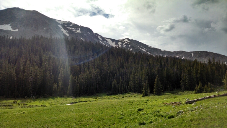
It may be hard to see in this photo.
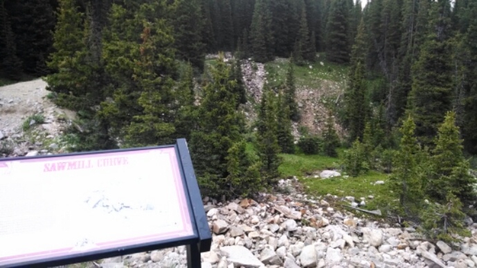
A section of old railroad bed has been converted into the Alpine Tunnel Trail, with signage explaining the history.
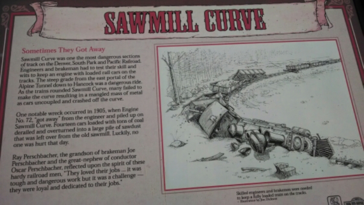
Here is the site of a trail derailment. How do remove trails in those days from such a steep narrow place?
I do not completely finish the narrow trail before darkness descends, and must search for a spot wide enough to place my tent and still be out of the way.
Day 18, 7/5/2014, Saturday
Start hitch 22 miles to Monarch Pass, mile 1068, elevation 11300
End 20-010MS mile 1087, elevation 11202
