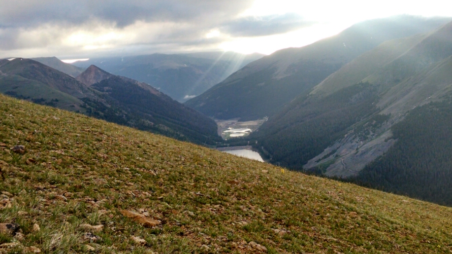
The morning reveals thick dark clouds overhead.
Typically mornings start clearer and take until noon to build to storm strength. What is this new pattern? These clouds are not moving, just floating in place.
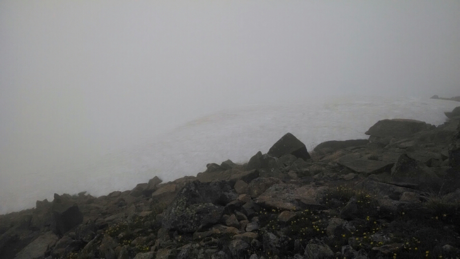
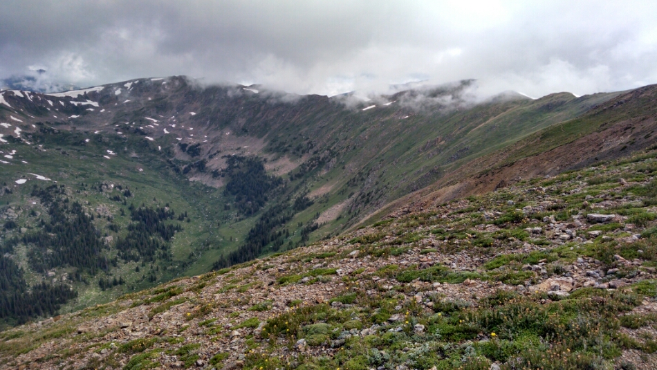
The climb up to a ridge is in fog. The views must be great when clear.
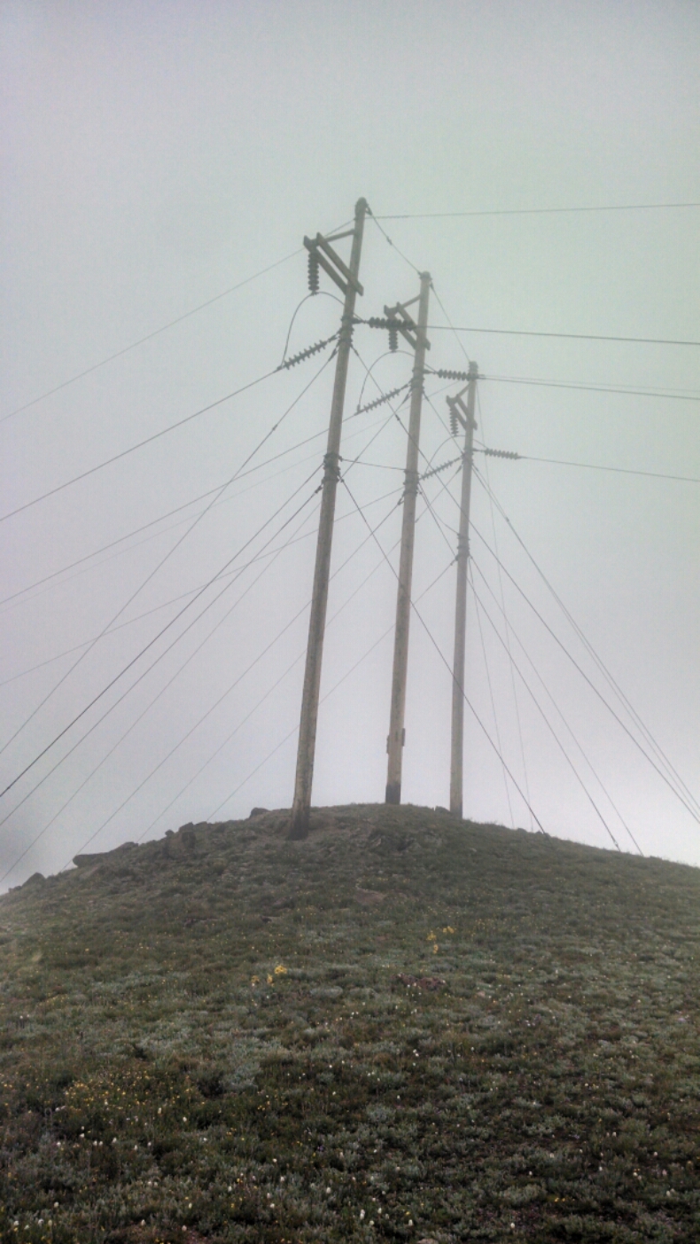
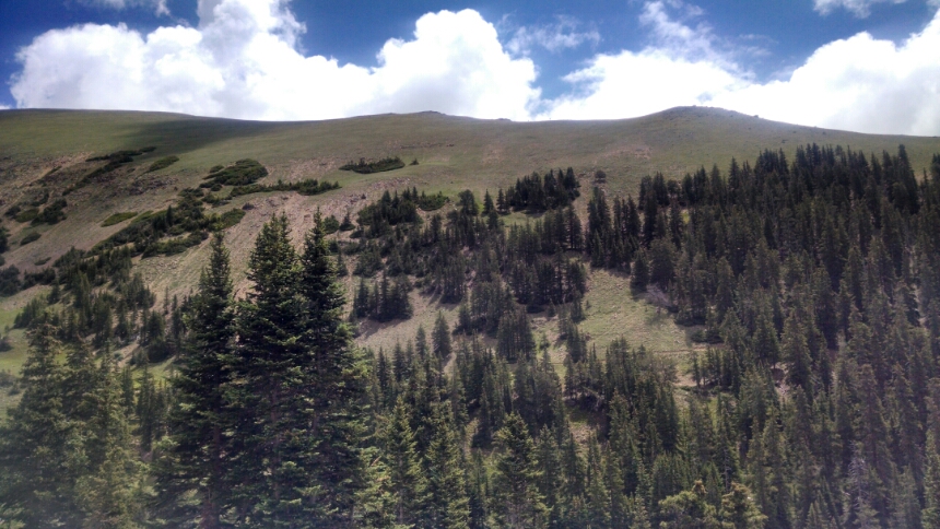
Here is an artsy shot.
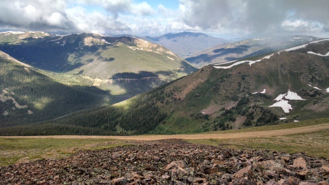
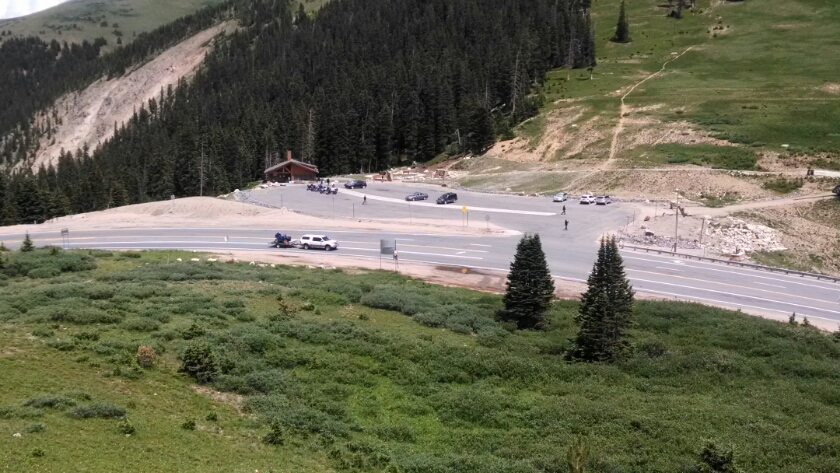
The fog clears some at Jones Pass jeep road crossing.
More high ridge walking is my favorite way to travel.
Then the trail drops down the side of a mountain for a while, and prepares to ascend Stanley Peak. Normally a climb this high after noon would be worrisome because of rain, but one of several day-hikers tells me the weather report says no rain today. What has changed?
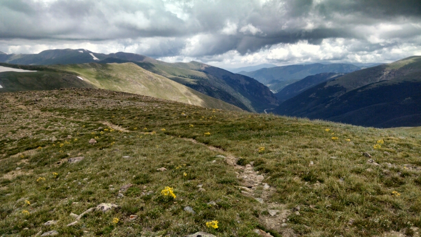
The climb up Stanley Peak rewards with more high trail along a broad grassy ridge.
By mid-afternoon the descent into Berthoud Pass is complete.
(Berthoud Pass, Winters Park, and Fraser have special memories for my family, who used to vacation nearby at Snow Mountain Ranch.)
Road angel Bob and his ancient pick-up towing a trailer give me a lift after 15 minutes of hitching. He is an iron-worker in town, and we stop on the way at a fancy subdivision, Lakota, so he can discuss doing a job at a multi-million dollar home. While he talks I have cell signal and find an inexpensive room at The Sundowner. A day later and most rooms in town would be booked for the weekend.
The simple pleasures of getting my box from the post office, getting a shower, and completing laundry are not to be missed:
Day 30, 7/17/2014, Thursday
Start 31-041WT near Woods Creek, mile 1283, elevation 11881
End Berthoud Pass, mile 1299, elevation 11301, and hitch 14 miles north to Winter Park
