HDT 2022 Day 13, April 13, Wednesday
Start S5 mile 42.6, past Swap Canyon Spring
End base of Red Slide, S6 mile 17.9
Miles walked: 24.2
This morning on a short road walk, my water bottles froze while I was hiking. The same thing happened yesterday.
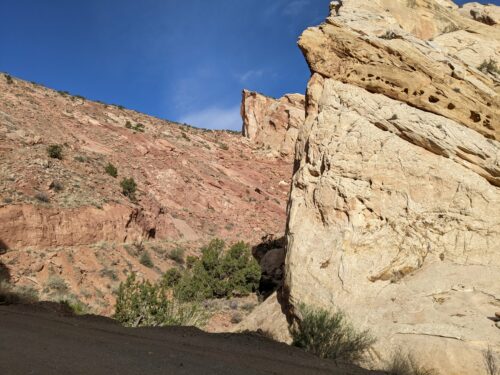
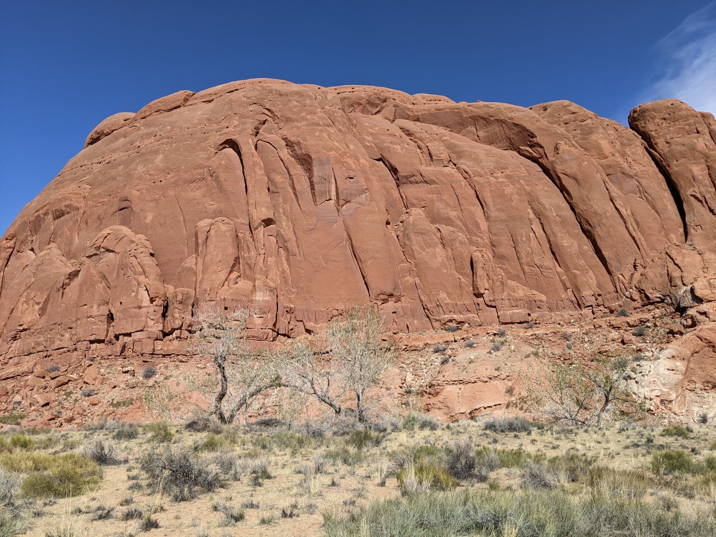
The route entered the Capitol Reef National Park, with its own unique rock formations, due to a geology feature named the Waterpocket Fold, a 100-mile north-south fold in the earth’s crust. We enter at Oyster Shell Reef, and these rocks do have a shell shape.
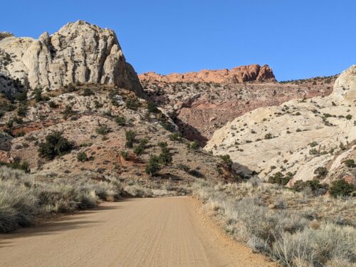
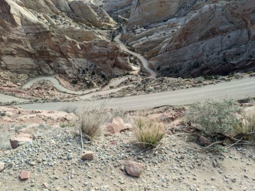
Next we climb the Burr Trail Switchbacks. A road with 6 hairpin turns is built in such a way that you cannot even tell there is a road there from this vantage point looking at the slope.
If you zoom in, you might just barely spot the roof of a white car going up. Here is looking down on some of the turns.
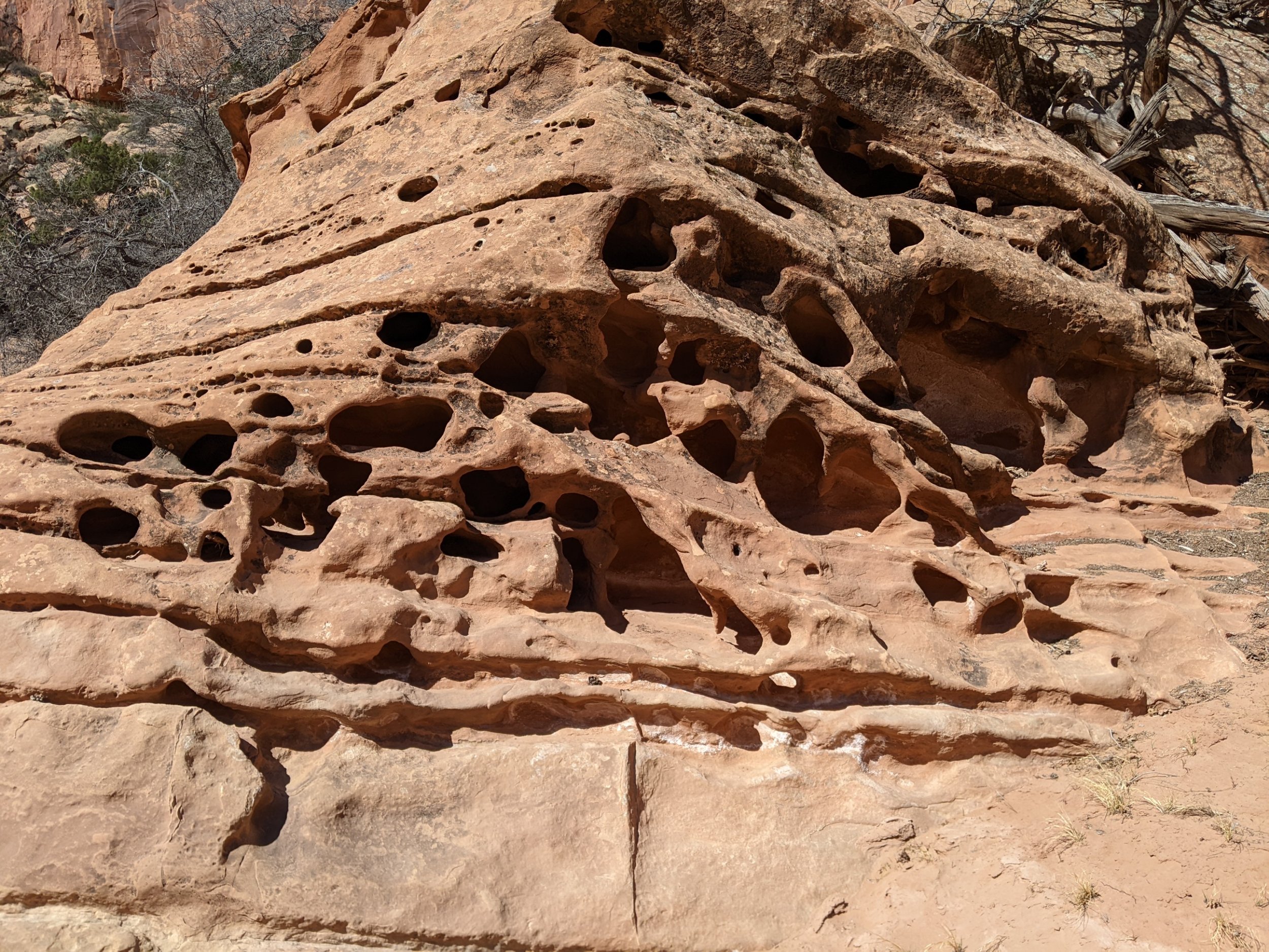
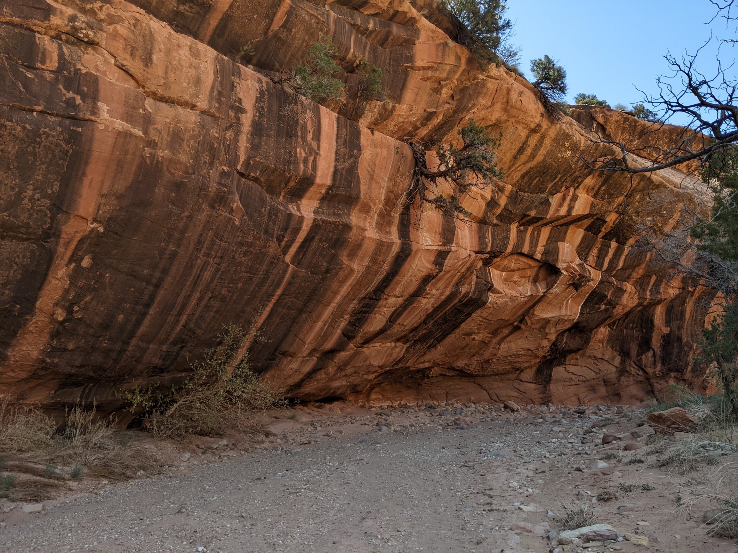
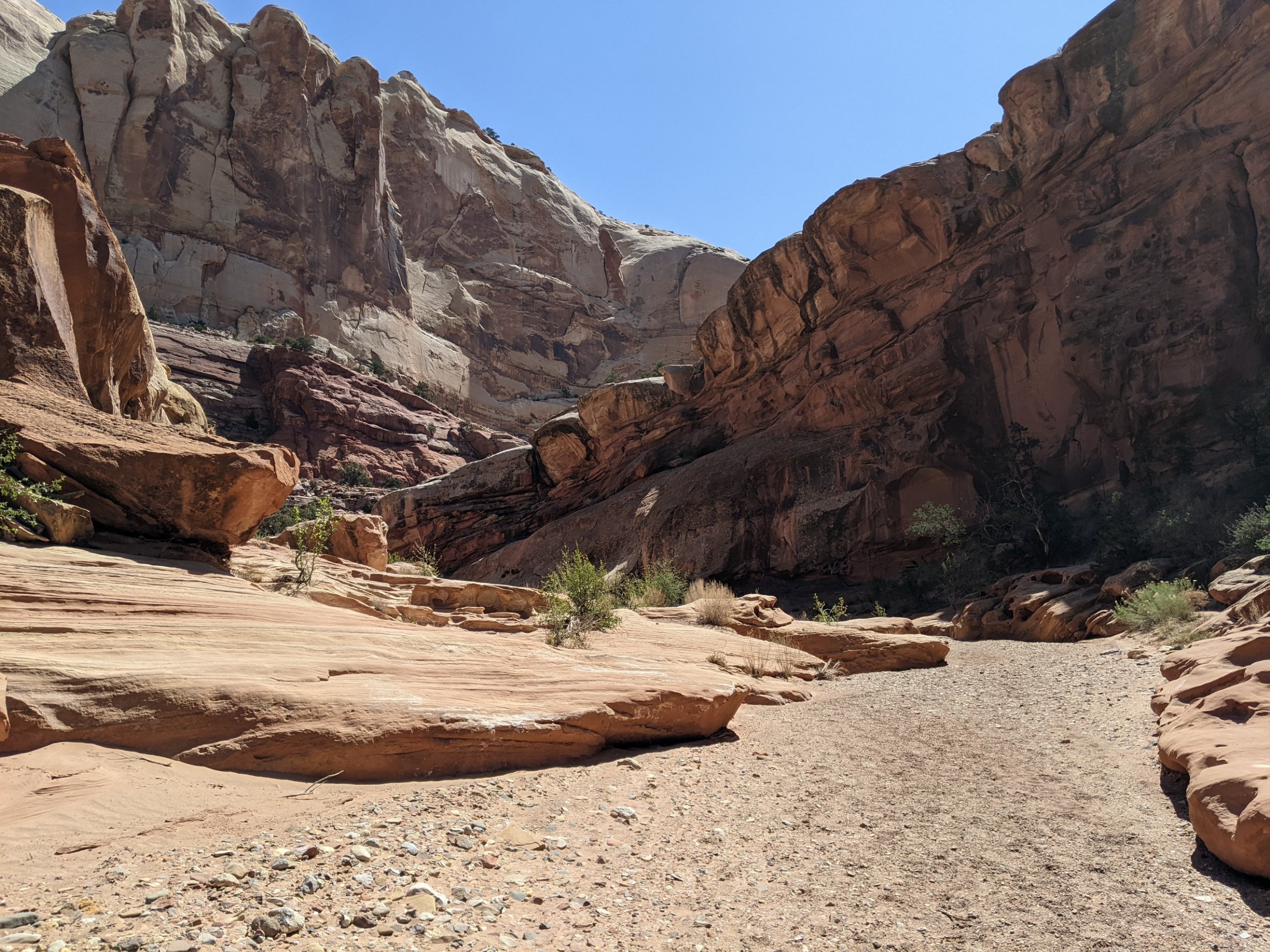
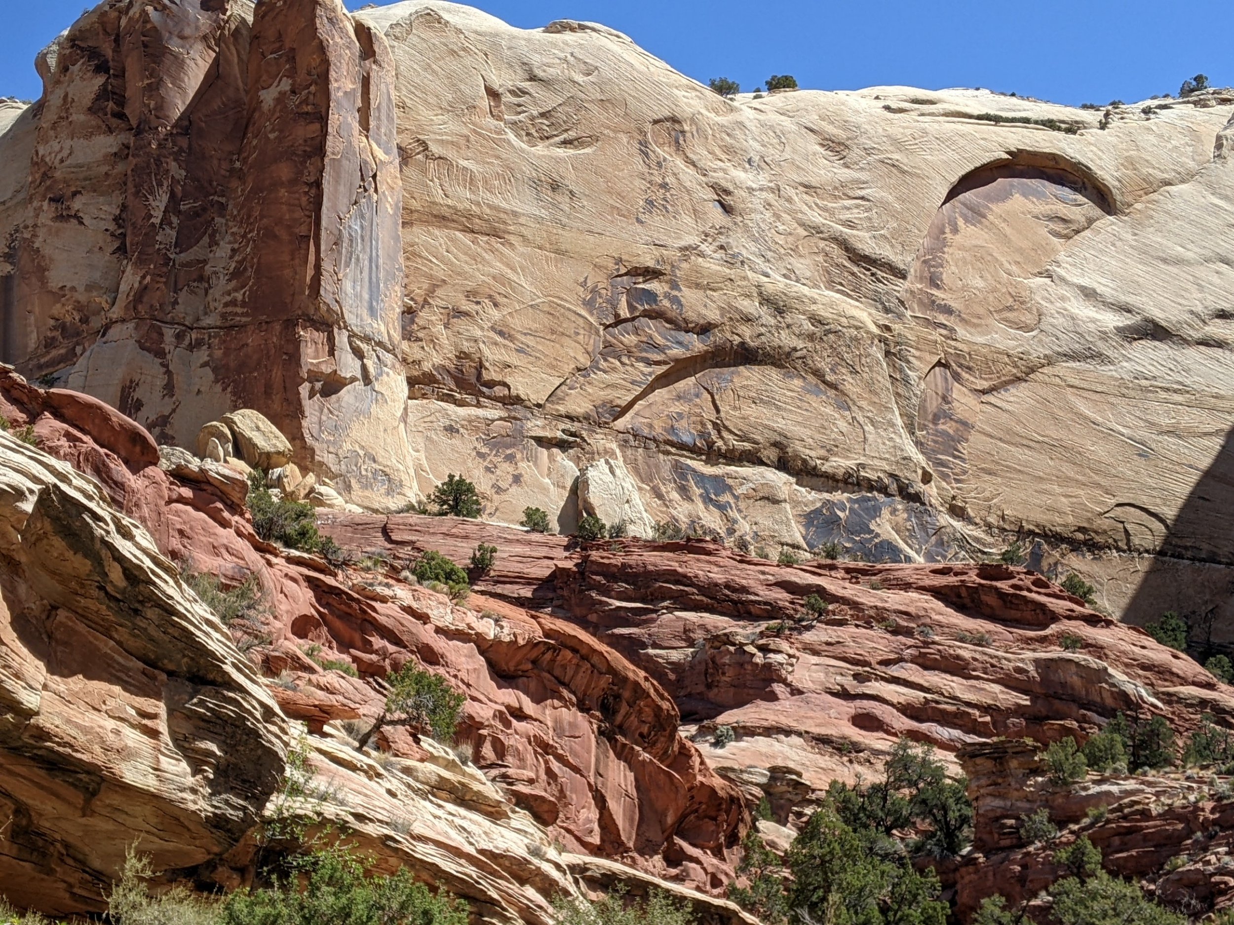
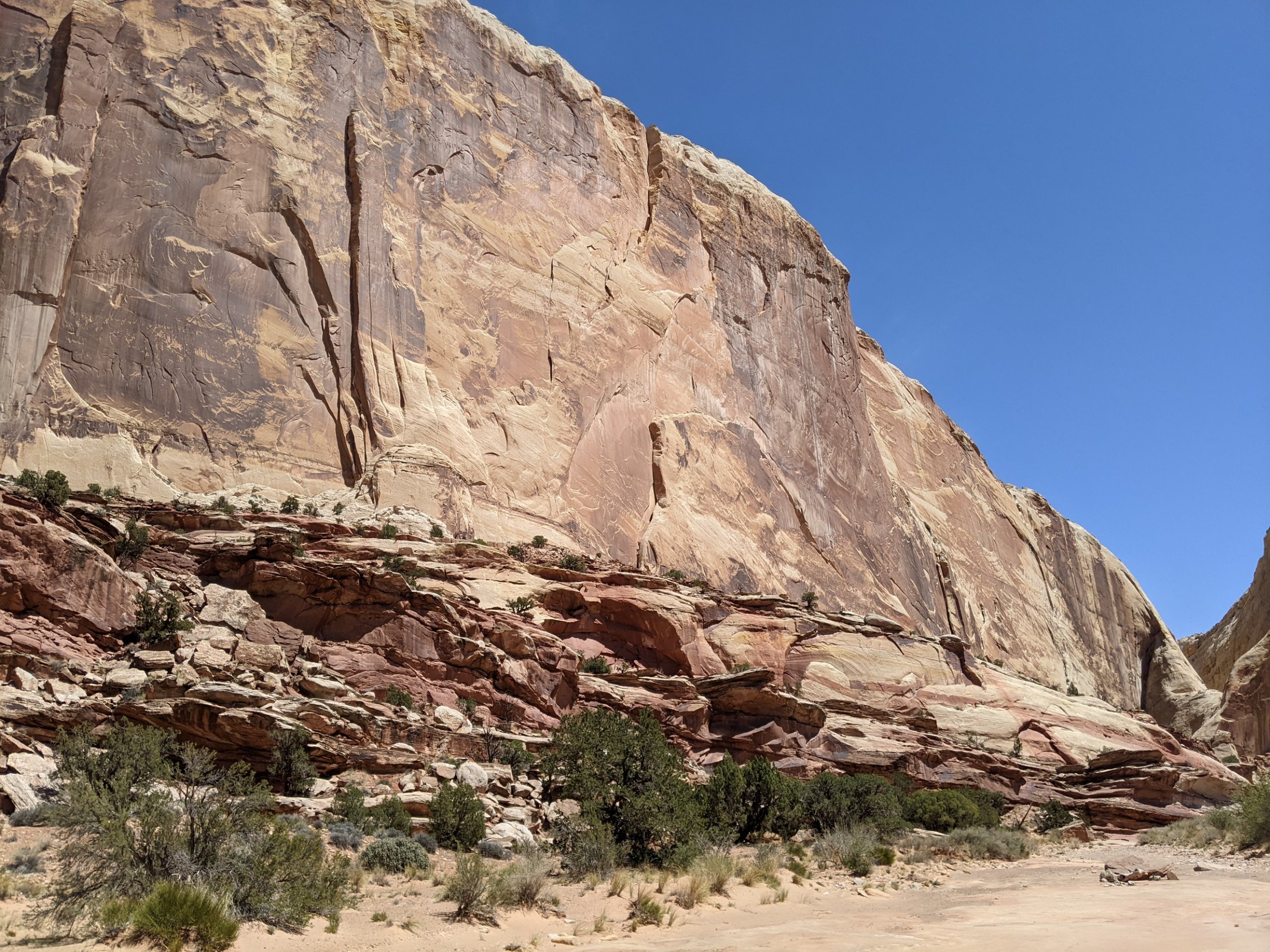
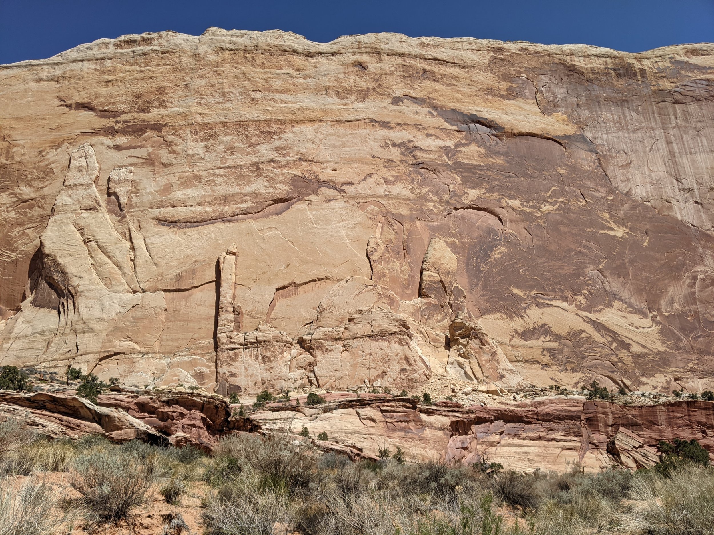
Entering Muley Twist Canyon at Burr Trailhead, the route follows the twisty canyon turns for over 10 miles, ranging from softly rounded modern art near the beginning to sturm-und-drang monumental cliff faces near the end.
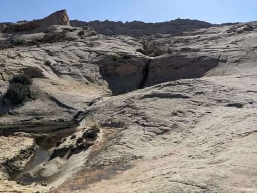
Exiting into Grand Gulch, the one definite water source is at Muley Tanks, large rock pools fed by a spring, protected by a line of thicket and bramble, so you need to enter at the right location to get access.
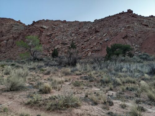
I camp at the base of Red Slide, and hope to climb it and find what it is tomorrow morning.
Finished audiobook The Tales of St Austins, by P G Wodehouse