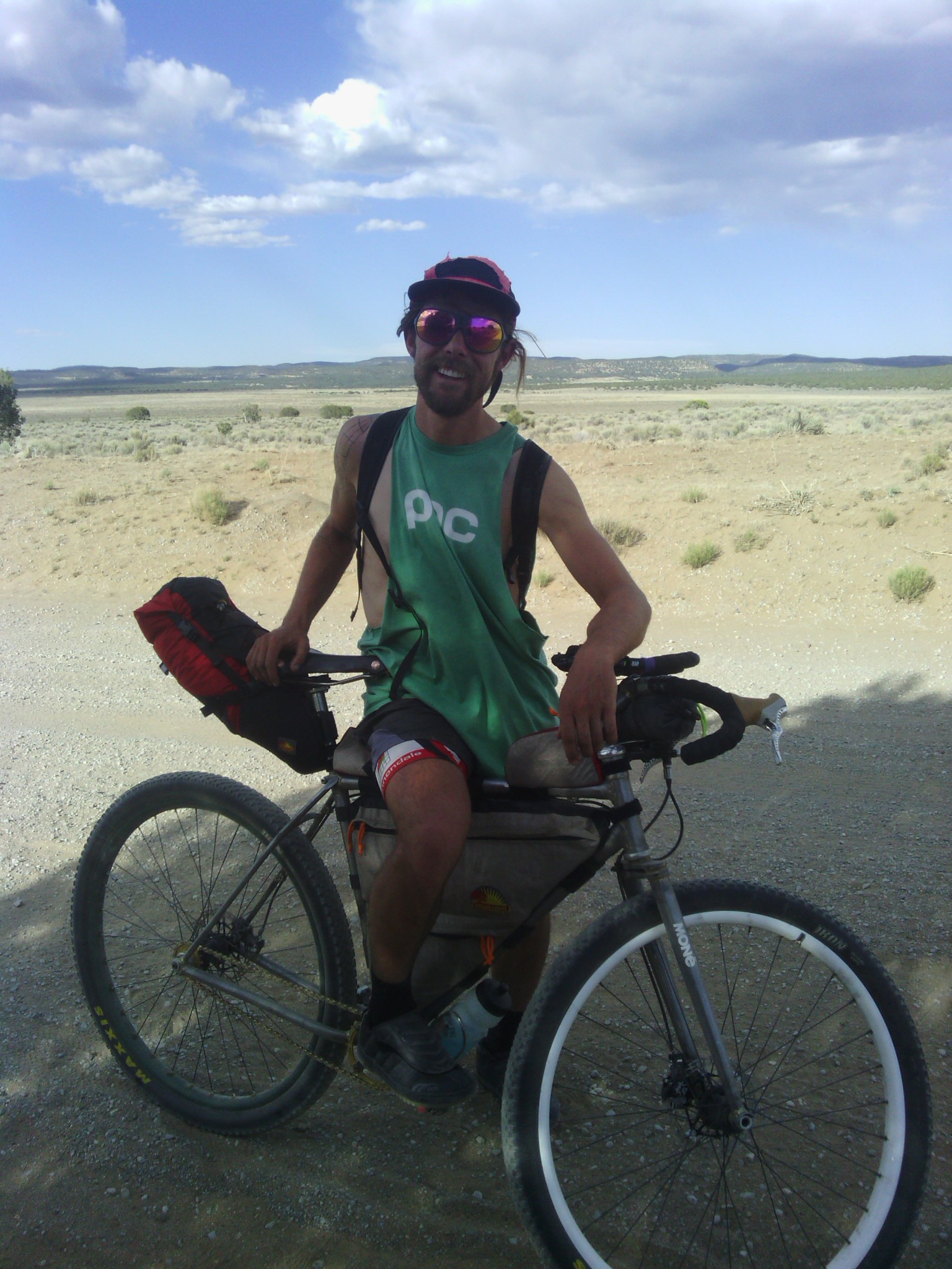
CDT cyclist Jack-Sh*t on his way to Pie Town.
Sagebrush personal hiking blog
CDT cyclist Jack-Sh*t on his way to Pie Town.
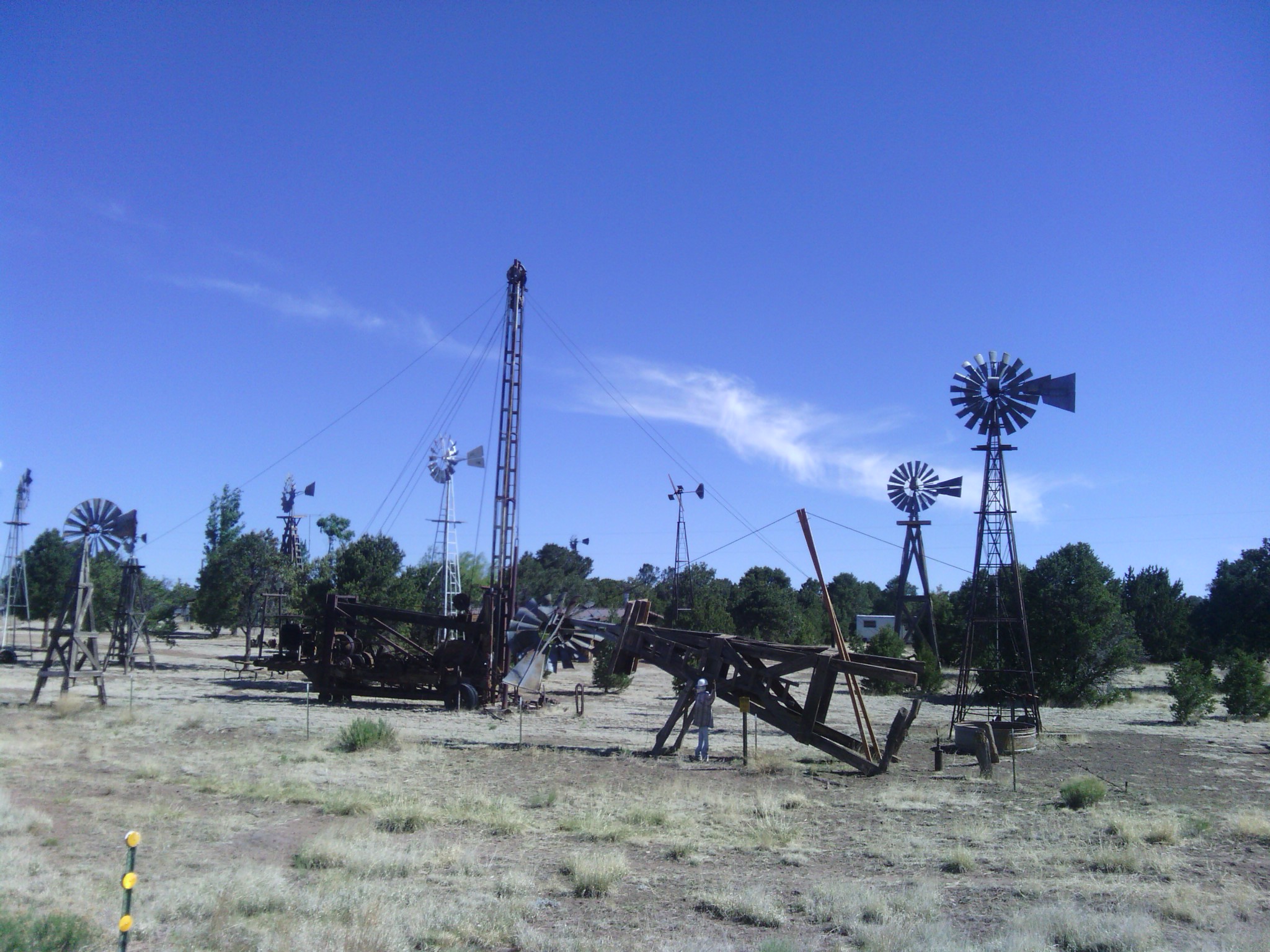
Windmill museum at Pie Town, as shown by Nita on her special tour of the town during my zero day.
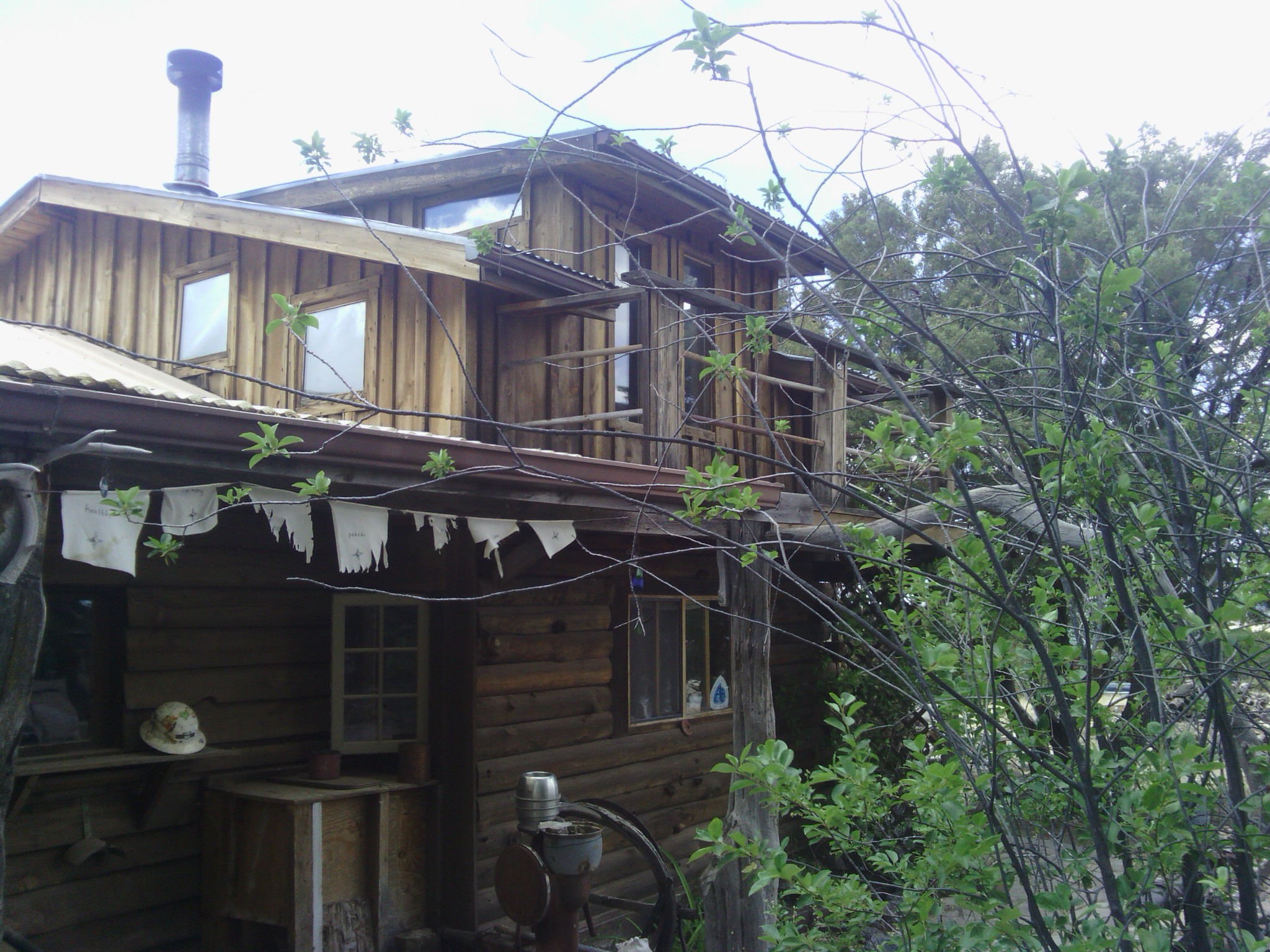
Toaster House hiker (and biker) hostel in Pie Town