- GxL Day 4, Friday, April 5
- Start Gail Tank
- End West Fork Trail near Bursum Rd
- Miles walked: 19
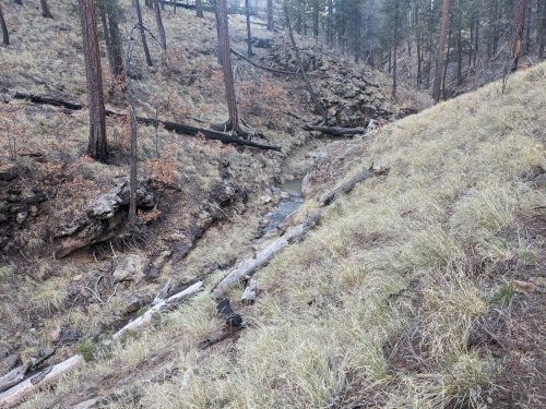
The drainage out of Gail Tank becomes a little stream that we follow.
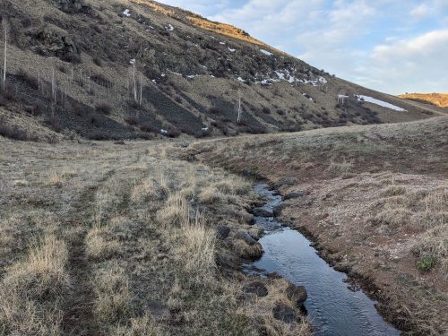
Eventually the stream goes into Snow Lake.
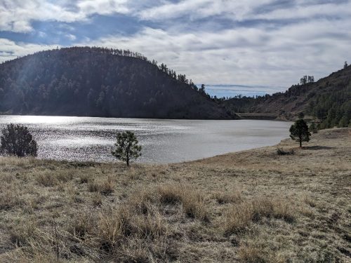
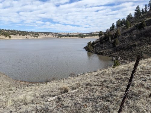
Two groups were using the campground at the lake.
The drainage from the lake turns into the Middle Fork of the Gila. In 2.5 miles of river until my next intersection, there are dozens of wet-foot crossings.
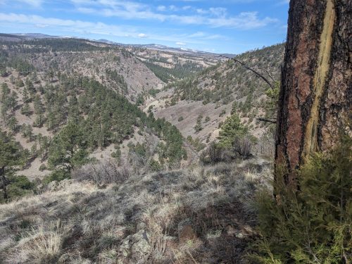
The water comes up to knee height, and the water is running fast compared to the last time I was here. The water is turbid, and one cannot see the rocks you are stepping on underwater. The first 3 or 4 crossings are fine, but then it gets a little scary, as the water is faster at each new crossing.
I decide to take the High Water CDT Alternate. (CDT hikers run into the problem of high water here often, so a High Water alternate needed to be developed and documented.) Rather than redoing each crossing to get back to Snow Lake, I climb cross-country out of the canyon to meet the alternate route. The actual alternate route does not come close to my next intersection, so I divert onto Loco Mountain Trail, which is on the GxL but on a nearby loop, The trail brings me back to the Middle Fork for one final crossing. I scramble along the bank until I find a perfect safe crossing, at a gravel bar, and then finally connect back with my planned route.
A climb up Clayton Mesa Trail brings me to a pleasant flat Ponderosa forest.
The route goes on to Cooper Trail and West Fork Trail, with several crossings of Iron Creek. The creek has clear water and crossings are no trouble.
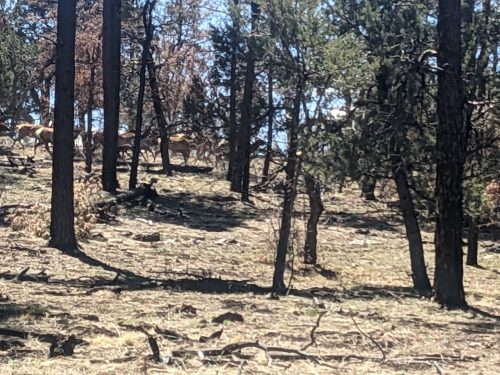
The trail here seems wild and rugged, 8k altitude, but seems higher.
At night, after a high wind, rain and snow pelt the tent, seemingly all night.
Finished audiobook The Leavenworth Case, by Anna Katherine Green, early American detective fiction.