- GxL Day 5, April 6, Saturday
- Start West Fork Trail near Bursum Rd
- End Bursum Rd dispersed camping area just beyond Mogollon private land
- Miles walked: 14
Snow pelted the tent all night, the sound amplified by the shelter fabric like a speaker cone. Two or three inches of fresh powder surrounded my campsite.
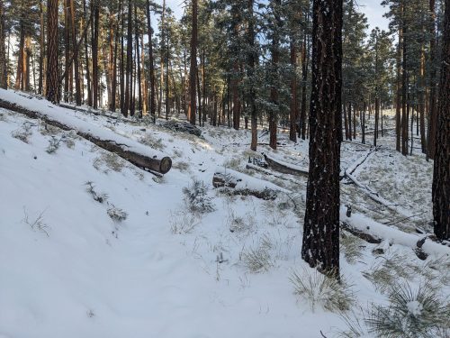
Toe trail, though covered in white stuff, was quite visible by the cut ends of logs and a clear corridor. I pass Iron Creek Lake.
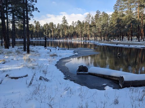
Near Willow Creek Campground I crossed the creek, broad and not too deep.
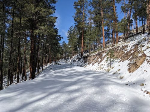
Gaining Bursum Road, the snow is not bad, two inches, good walking.
But Bursum climbs steadily in elevation. The first time I post-hole, late morning when the snow crust has softened, the snow is trekking-pole deep on the road, but not deep on the adjoining mountainside. The road is nearly all on north-facing slope.
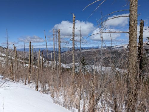
I step slowly to avoid post-holing so much, resigned to not cover vs many miles today. Vast expanses of burnt forest are visible, and nearby slopes without much snow.
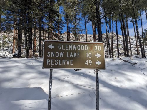
Finally, around 3PM, the snow is only on patches. Shaken by my struggles in recent days, I depart off my route, and continue on Bursum Road, avoiding Mineral Creek Trail, which might have high water. Let’s get to town and regroup, and maybe come up with a plan.
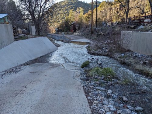
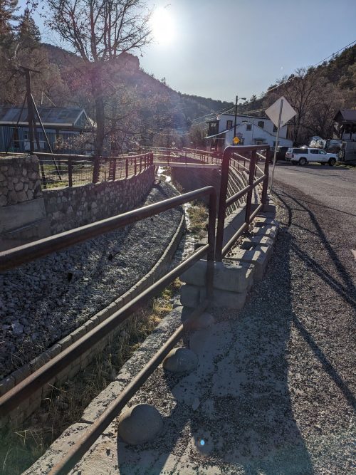
Coming to pavement and private land, the road makes several wet-tire crossings through Silver Creek, and homes are rather unique and alternative.
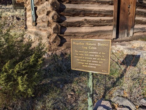
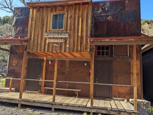
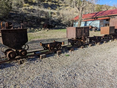
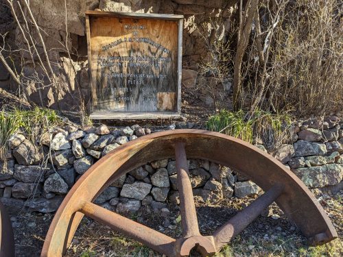
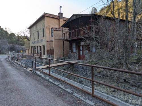
In the ghost mining town of Mogollon (still closed until tourist season) old buildings suggest a history worthy of a return visit someday to really explore the area.
Past Mogollon, the road is narrow and winding. A curved mirror is placed on one particularly sharp bend.
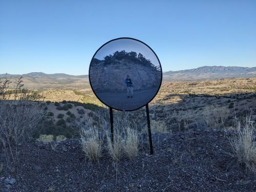
The slope supporting the road is steep, and I am sure the engineering is fine.
Past the private lands is a small informal campsite, where I rest and look forward to a town day tomorrow.