- GET 2024 day 19, Oct 19, Saturday
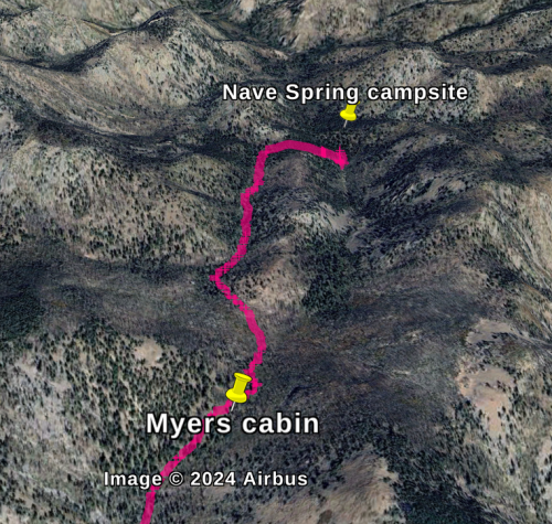
- Start Nave Spring campsite
- End Nave Spring campsite
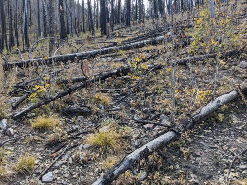
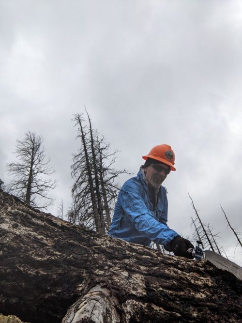
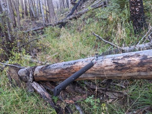
- Continued sawing between Nave Spring and Myers cabin. So many blowdowns.
Rain showers pinged the tent throughout the night, and threatened to continue in the morning. With the sun hidden by clouds, conditions were very cold and wet. I tried sawing for an hour, but had to retreat to the tent to warm up afterwards. Then the weather cleared a bit, the sun came out, and work could resume for real.
I spent most of the day working where the trail follows along a drainage, clearing trees and trying to make the trail easier to see.
In distance I did not get very far, maybe a quarter of a mile. More work remains on this section for tomorrow.
Finished audiobook Gamblers World and The Yillian Way, by Keith Laumer.