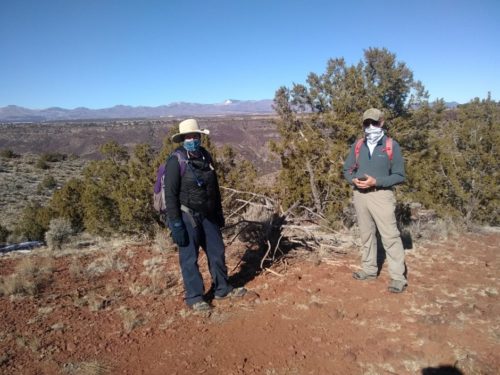
USFS volunteer coordinator Jennifer and Mike from NMVFO joined me on a reconnaissance hike on Soda Springs Trail, in preparation for a trail project in September 2021. Driving to the end of unpaved Buckman Road #77, past Diablo Canyon, the road ends at the Rio Grande near our parking area. Across the river is the community of White Rock, near Los Alamos. I had never been here before, but I did almost-cross the Rio a few miles further south near Bandelier on the NNML.
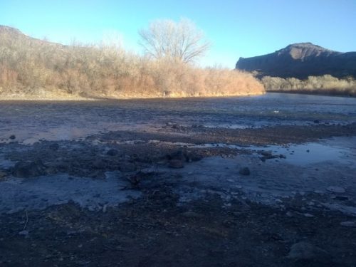
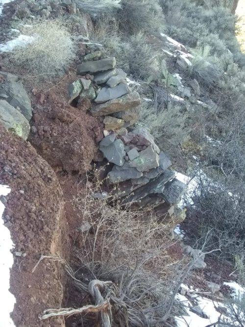
We hiked on two-track along the river, then headed on trail up towards the top of a mesa. A rock trail embankment had partially collapsed, but the remaining rock work is evidence of a good deal of effort creating the trail
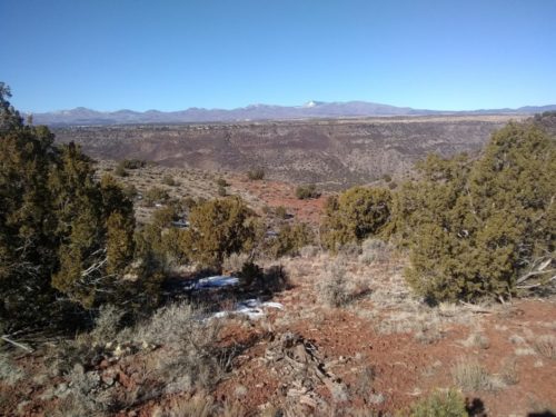
At the top, we had lunch, and enjoyed 360 degree views, of White Rock, the Santa Fe Ski area, Pecos Baldy and Truchas Peaks.
Now we have to figure out the best way to arrange the project. Can we car-camp at the top, possibly with a 4WD shuttle, or backpack in two miles and camp at the river just before climbing the mesa, or some other method? Mike will test out a dirt road up to the mesa from the back side, and see if it is passable.