PCT 2018 Day 33, May 25, Friday.
Start campsites at Rock Creek, mile 760.5, elevation 9.5k
End mile 778.7, near campsites, less than one mile from Forester Pass, elevation 12.3k.
Miles walked: 18.2
The trail is often through boulder fields, taking on a rugged character.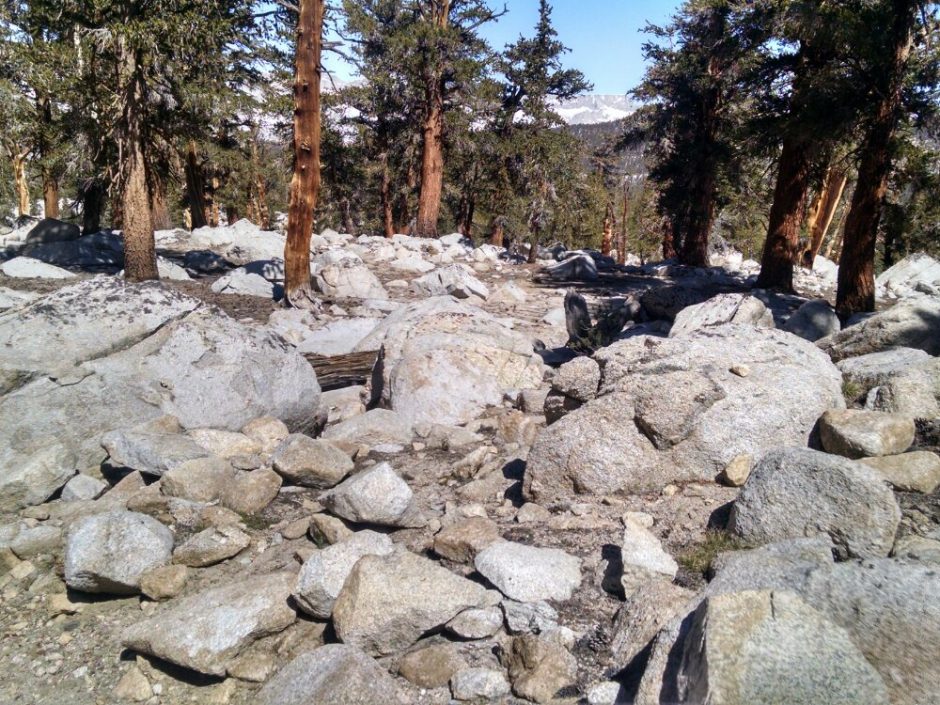 The John Muir Trail joins the PCT. Also, a side trail leads to Mount Whitney, which many PCT hikers do as a day-hike, leaving much of their gear in a bear box. The water at Tyndal Creek ford was running fast. The water near the trail appeared more than waist deep, but going upstream a large flat rock creek-bed caused the water to run fast but shallow, a good crossing point.
 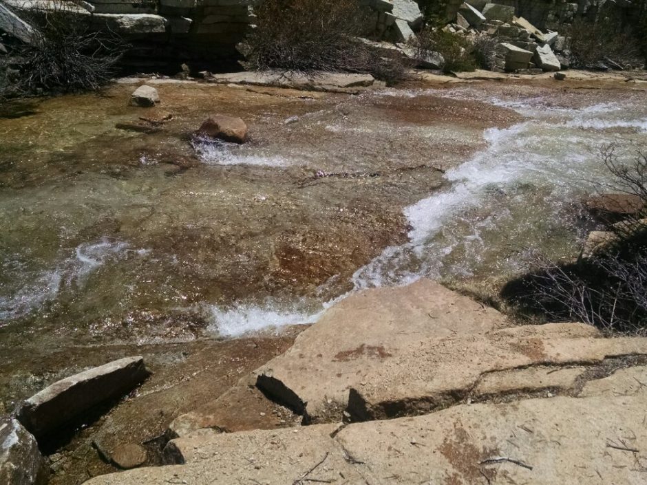 Climbing steadily towards Forester Pass, more snow appears. Fewer footprints are visible than I expected.
 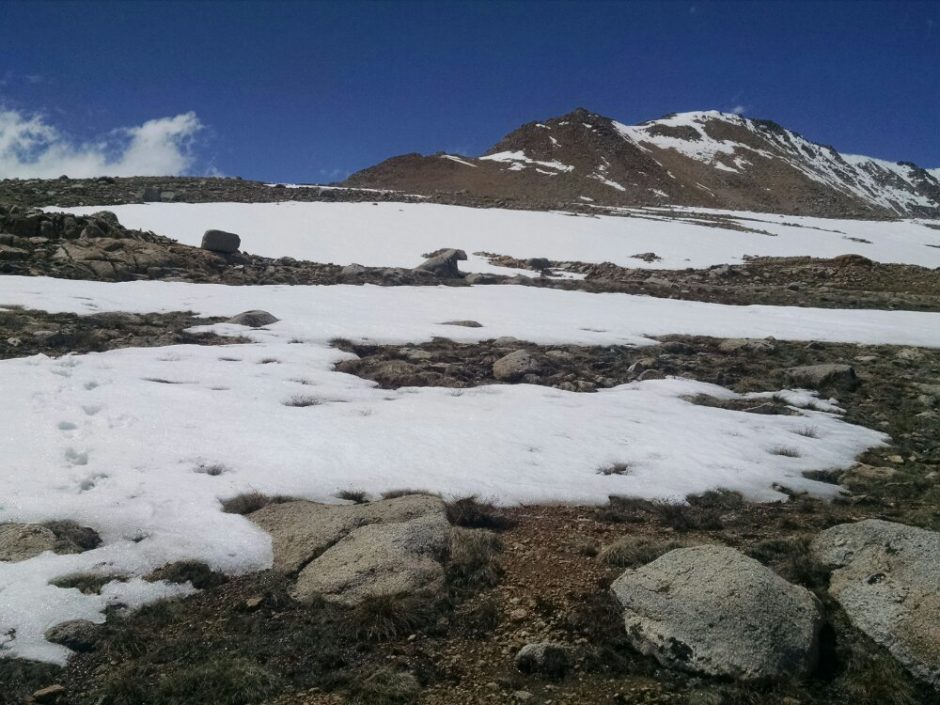 Passing many high snowy peaks each day, I give thanks for the ones we bypass, as well as those we climb.
 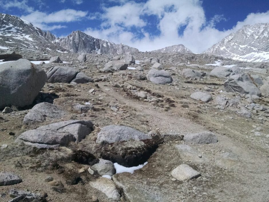 I reach the final mile ascent of Forester at 4PM, but this is not enough time to climb up and get back down, and snow conditions in late afternoon are not recommended for the climb. After the pass you would be post-holing (suddenly breaking through the surface of the snow) for miles before reaching a suitable campsite.
I find a flat boulder and pitch the tent. With low wind, and sun reflected off snow, the evening is surprisingly warm and pleasant, having dinner on my little island.
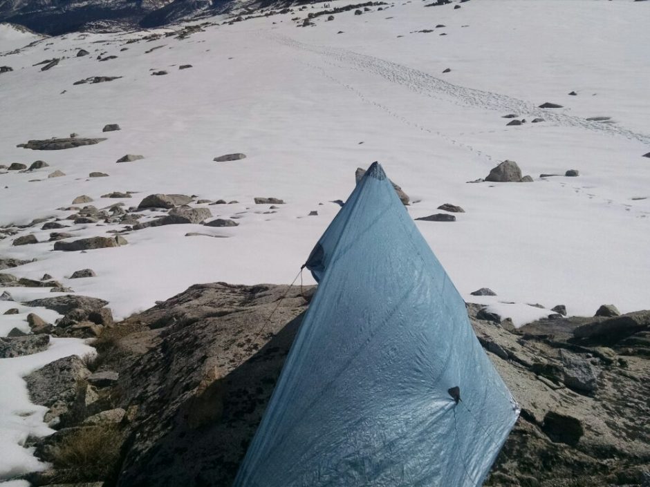 Later a few hikers pitch tents on snow a hundred yards away, all ready for the pass in the early morning.
 At the pass, and throughout the day, one can see many impressive snow-covered peaks.
 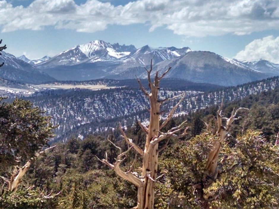 The pass has very little remaining snow, just a few places.
 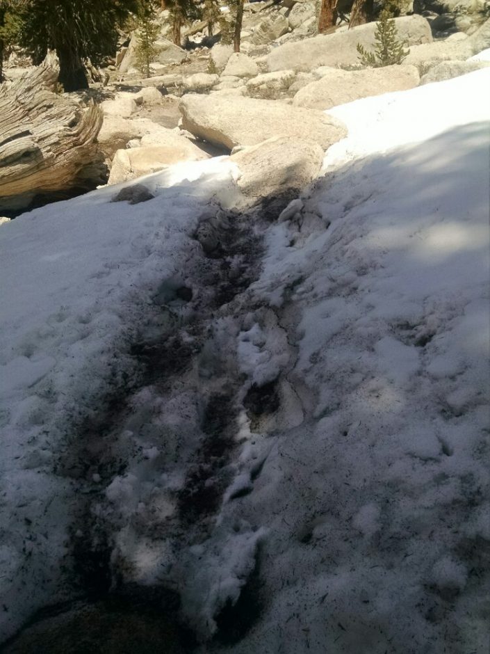 Near the end of the day we enter Sequoia National Park, which requires the use of bear canisters. Bear boxes are also distributed at many campsites. At my final campsite, back down at 9.5k, I fall off a log trying to cross a creek, and get wet feet. Several crossings in this area are tricky to cross, or are wet-foot crossings, as will be experienced tomorrow. A few other hikers are at this campsite, too weary to socialize.
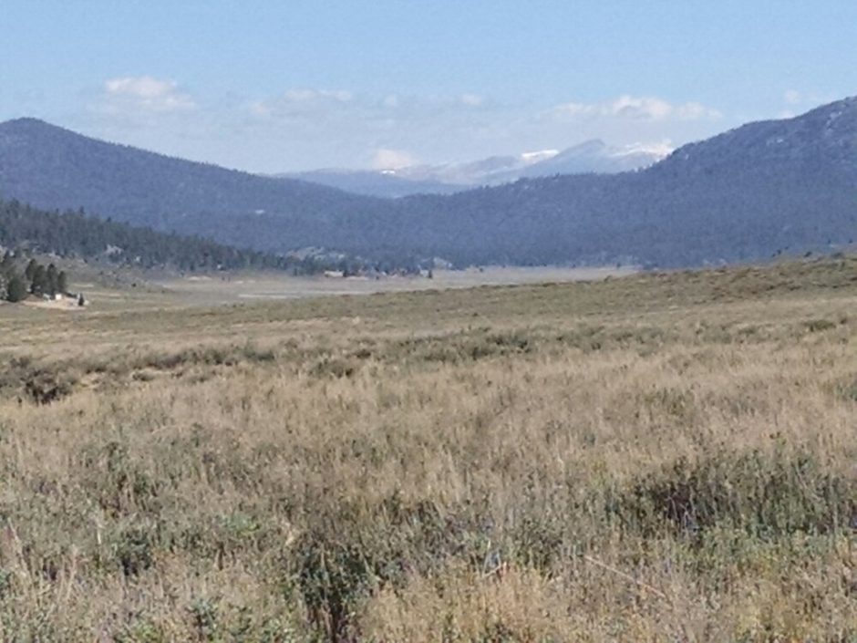 Climbing higher, snow covered mountains grow nearer.
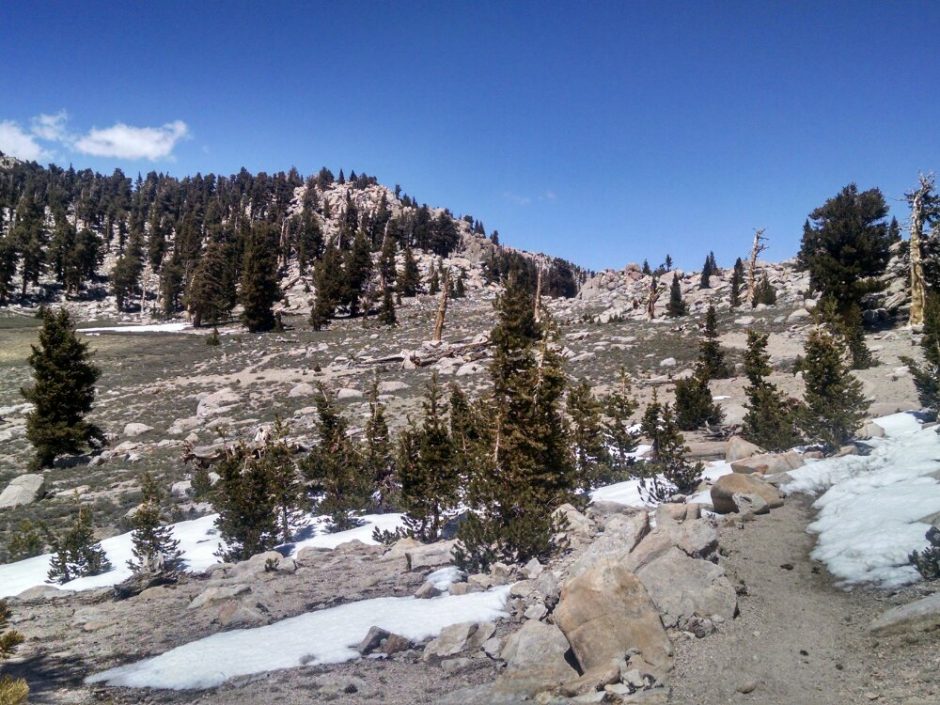
 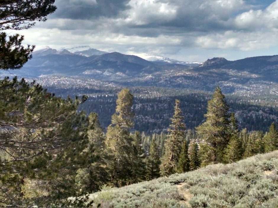 In old-growth forest, some wide white sandy patches appear near the destination campsite.
 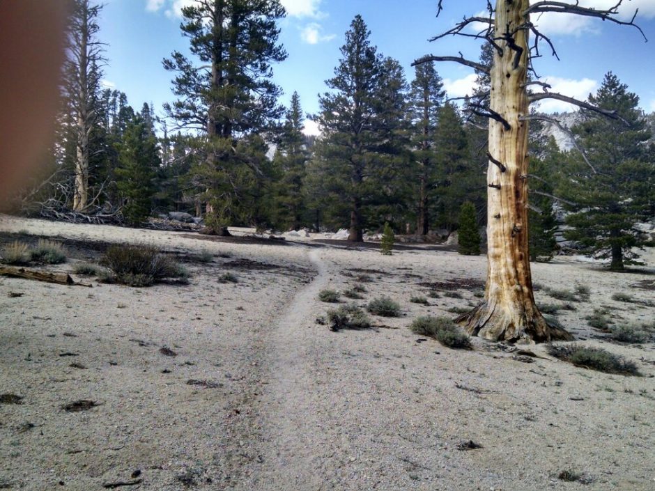 One full month on the PCT!