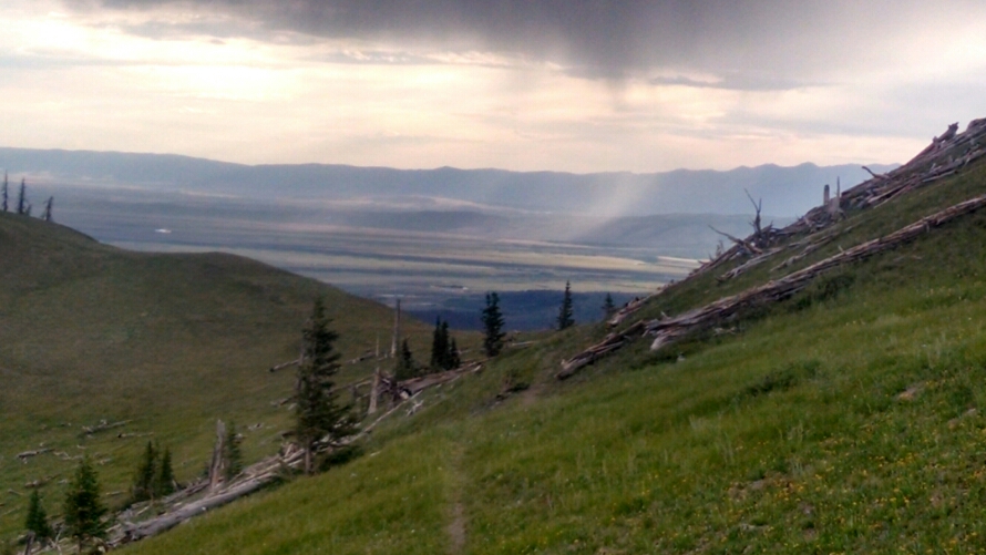
Climbing out of Troublesome Pass into a morning already having dark clouds portending rain.
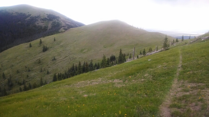
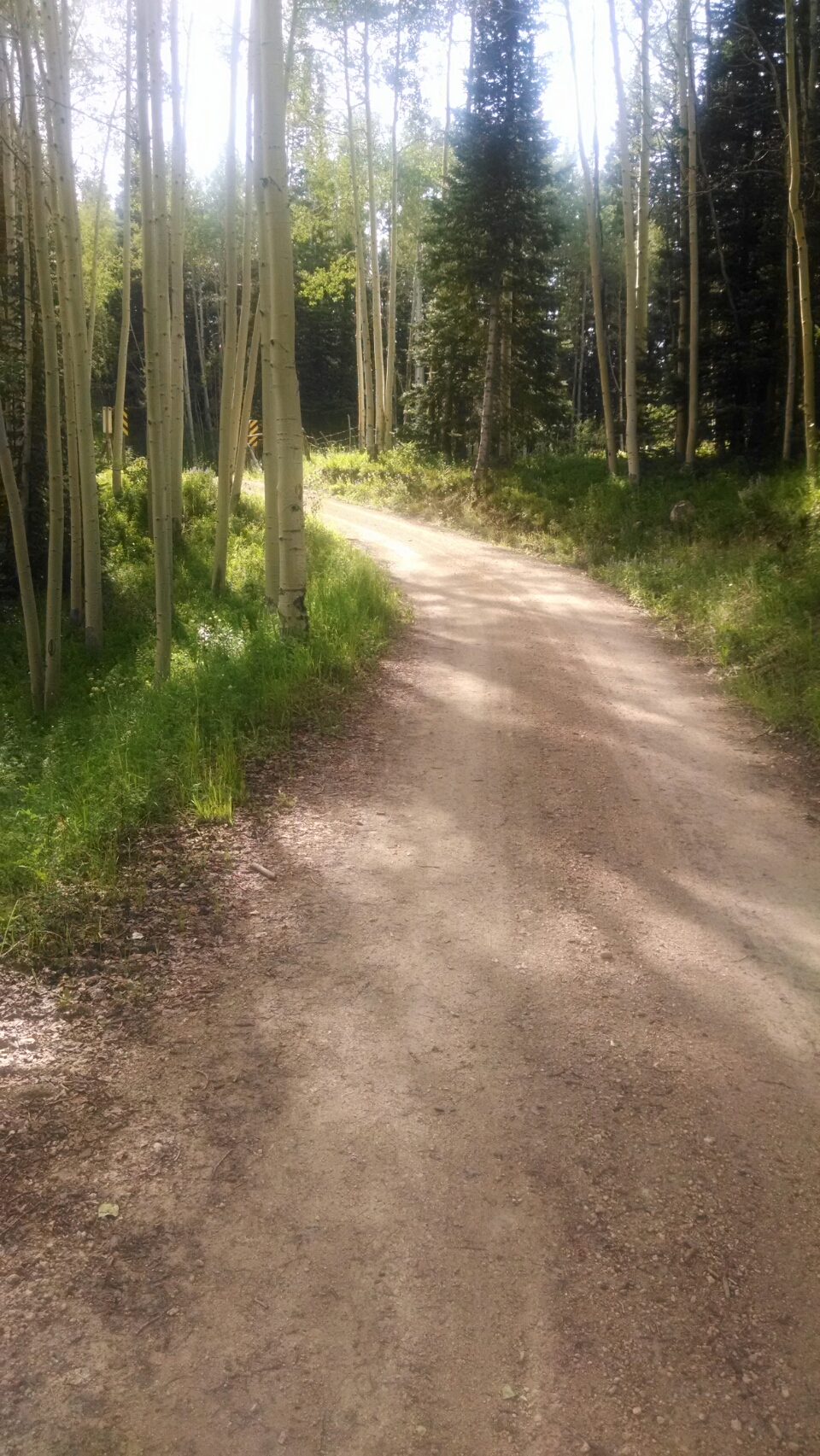
The trail follows a rolling ridge, then joins a logging road for several miles.
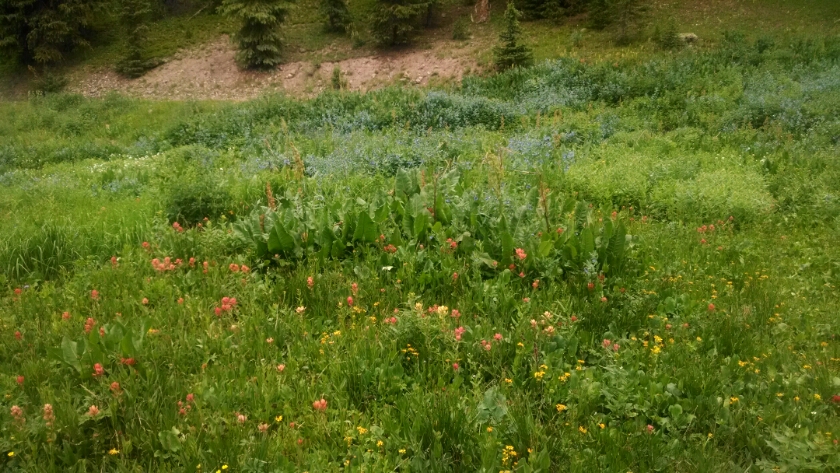
Flowers.
Rain begins in early afternoon, starting and stopping a dozen times.
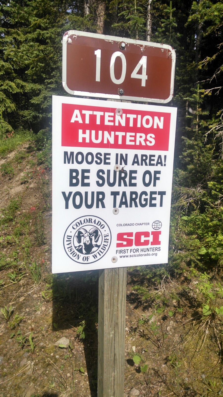
Not a sign you see every day.
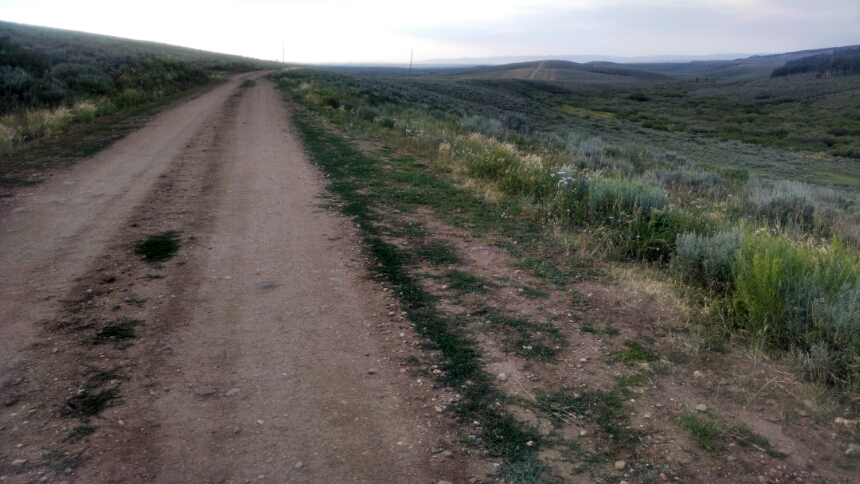
Walking along the logging road allows the legs to stretch out and run up some miles. We gradually lose altitude and run out of tall mountains. Skeeters become fierce.
Still following roadbed, eventually we are really in lowlands, on BLM land that allows cattle.
We are in sagebrush and grassland, grazing country, less than 9000 feet altitude, with scattered private lands.
I stop at the intersection with highway CO 14 where I still know where BLM land exists. Tomorrow the plan is to get to Rabbit Ears Pass, an all road-walk day, then hitch to Steamboat Springs as early as possible to arrange transportation.
Day 37, 7/24/2014, Thursday
Start Troublesome Pass 38-118BAP plus one mile, mile 1414, elevation 10005
End 40-172RL just before road CO14, still barely on BLM land, mile 1441, elevation 8529
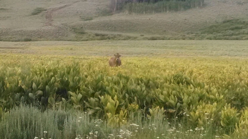
What happened? Sagebrush eaten by a moose?