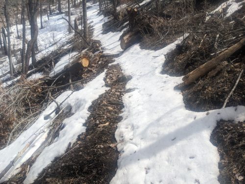
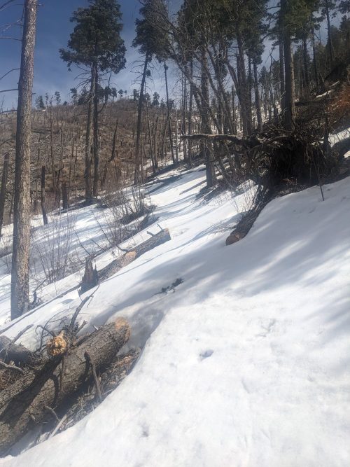
End Mineral Creek Road and leave route for several weeks
Miles walked: 14
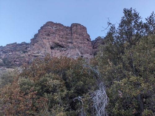
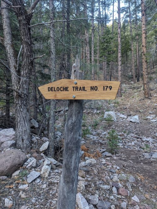
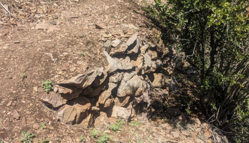
Having finally found Deloche again, the trail is not too bad, with some signs of trail maintenance– lopping and even a brief section of tread work. Three small caves are visible on a nearby rock outcropping.
The trail exits at Bursum Road above Mogollon. I am guessing since it is a signed trailhead, the trail really is intended to be maintained.
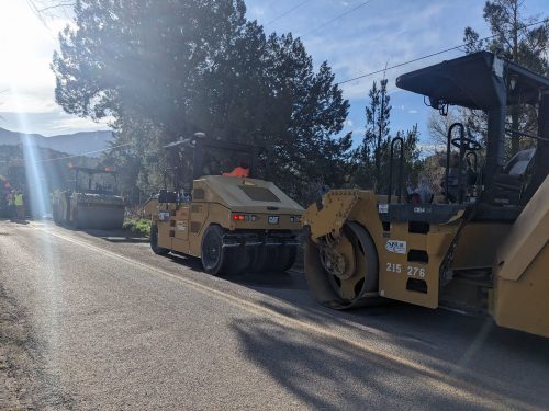
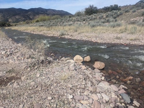
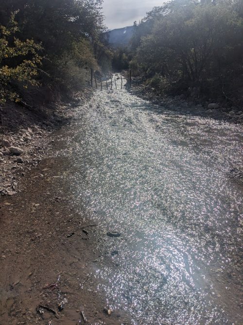
Coming off of Little Whitewater Trail to Catwalk Road, I was going to visit the catwalk, but the road was just starting to get resurfaced.
Instead, I took a roadwalk to the trailhead for Gold Dust Trail on Bursum Road. This trail connects with Whitewater Trail, which in this section stays fairly high on the ridge north of Whitewater Creek, with few crossings. The trail is strikingly beautiful, highly recommended.
The trails are in good condition, with recent signs of lopping and sawing. Steep slopes required a large number of hand-built rock walls. Are there any trails in New Mexico that have more constructed stonework than Whitewater Trail?
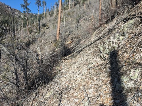
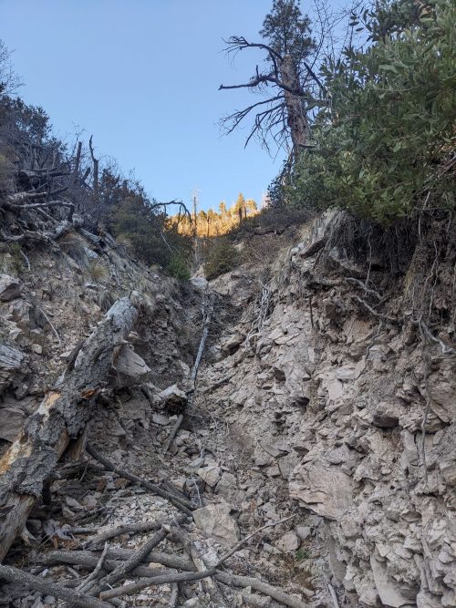
From Whitewater Trail the GxL switches to Deloche Canyon Trail, with the trail hard to find at the intersection, even though trail flagging has been added at a few spots. Once the trail crosses a small old burn area, it really becomes hard to follow.
Later the trail crosses an eroded drainage. It becomes really hard to climb out of the drainage and find the trail again.
Finally, at dusk, I manage to find the trail again, and make camp on a saddle.
Well, I will need to get off the GxL in a few days, once my ride arrives on Wednesday. Until then, I had skipped a few trails getting into Glenwood, and now is a good time to go back and hike them. It looks like my trip this year may be broken into several sections, and my mission has shifted to “ground-truthing” the route, rather than hiking it all in one continuous trip.
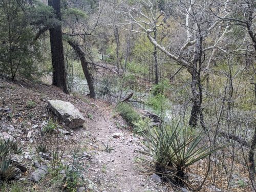
East on Catwalk Road, the route crosses Whitewater Creek and then follows Little Whitewater Trail, roughly paralleling Little Whitewater Creek, but mostly much higher.
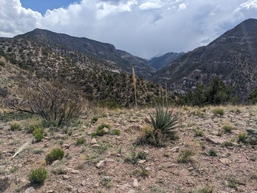
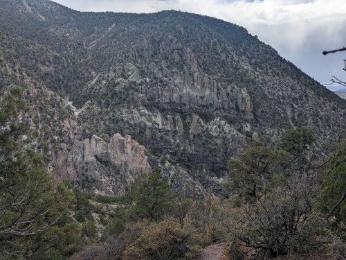
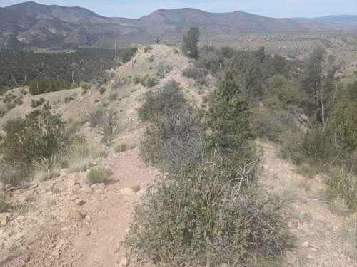
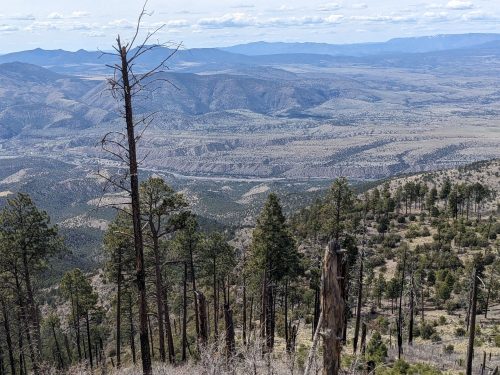
Along a ridge, looking back towards Glenwood, the trail is on the edge of two biomes, with juniper and bushes on the north slope and desert vegetation on the south slope.
The trail passes a wider flat area on the ridge, marked as a potential campsite for a trail project that I had planned to attend a year or two ago, but got canceled because of high water. Recent signs of trail work are visible, especially lopping.
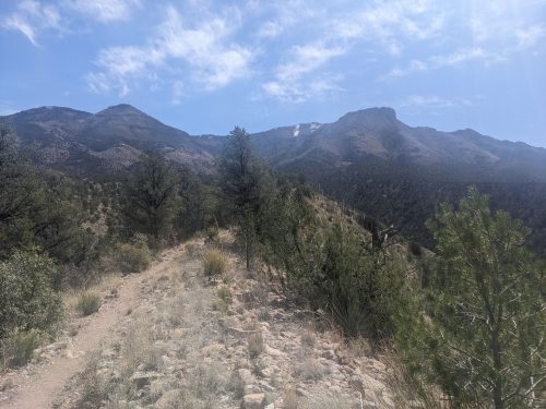
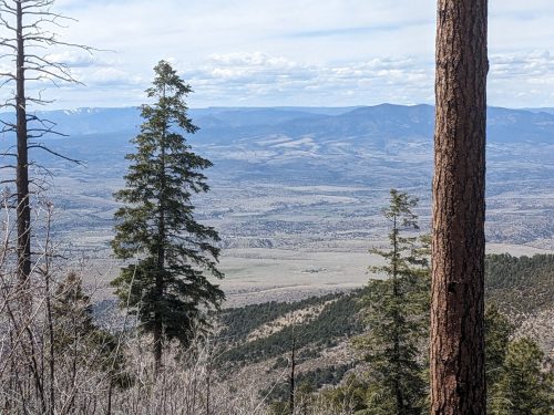
The trail continues to climb towards the peaks, high enough to get to snow.
I had hoped to hike beyond Little Whitewater Trail, eventually getting to Holt Apache Trail, but the snow had a steep slide-slope, so I eventually decided to turn around.
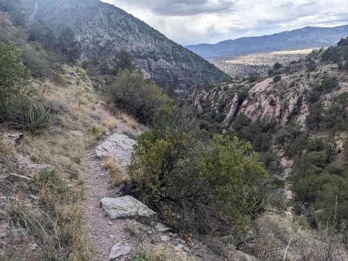
The views of Glenwood below show how high we have come.