Beaverhead

CDT Montana 2016

Day 5, July 10, Sunday

Start 05-100M On border fence Montana-Idaho on Continental Divide, 2 miles from Modoc Creek.

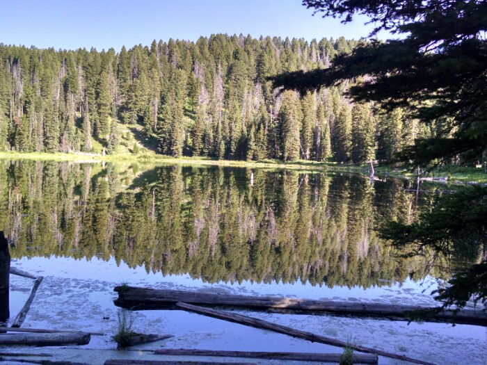
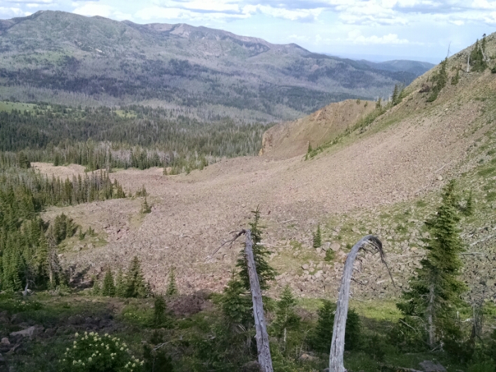
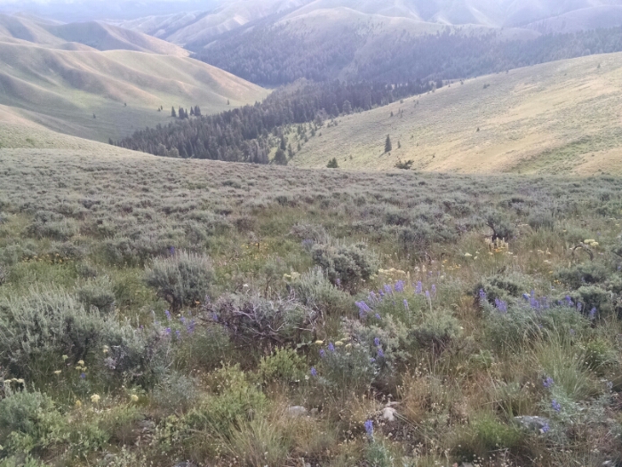
Stop 05-275M, on approach to cross the Continental Divide after spending the morning walking along the Divide in the Beaverhead National Forest

Miles 2 + 5.7 + 7.8 + 7.7 = 23.2

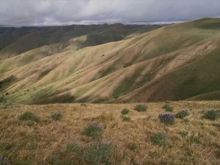
Rain showers in the early morning delayed starting a couple of hours, since I really did not want to break camp and start the day being rained on.

After a couple of miles descended down to Modoc Creek to get water.

The way is steep and far, so do not go down unless you are down to your last teaspoon of water.

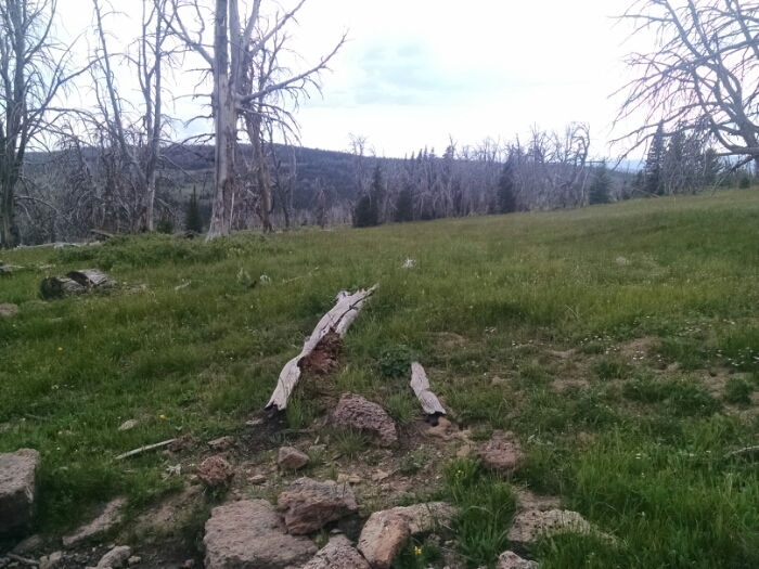
The morning was spent following Divide fence-line again like yesterday, except the ridges were so much taller on the “Roller Coaster”.

Continue reading “Beaverhead”

No Lima

CDT Montana 2016

Day 4, July 9, Saturday

Start 04-149WT Rock Spring, on top of Big Table Mountain

Stop 05-100M On border fence Montana-Idaho on Continental Divide, 2 miles from Modoc Creek.

Miles 1 + 2.3 + 4.5 + 7.5 + 7.7 + 2 = 25

Going down Table Top Mountain, we get views o| surrounding landscape.

Back up on Little Table Mountain, the path goes along one edge, so one can enjoy views the whole way.

Continue reading “No Lima”

Big Table

CDT Montana 2016

Day 3, July 8, Friday

Start 03-270M somewhere in the Centennial Mountains and Targhee National Forest

Stop 04-149WT Rock Spring, on top of Big Table Mountain

Miles 1 + 5.9 + 4.9 + 7.4 = 19.2

Leaving the Experimental Sheep Station and entering Targhee Forest, the landscape is a mixed patchwork of grass meadow and forest.

The trail passes Aldous Lake, and a few other small lakes during the day.

Skeeters and those flies that like to circle around you a hundred times are present in large numbers until a breeze an the afternoon cancels flight operations.

A number of trees are standing dead, assumed from beetle kill. Burned standing trees are also a frequent sight.

Late in the day the trail climbs up a steep ridge with good views.

The ridge broadens into a broad flat-topped area called Table Top Mountain. We follow what on the map is marked as an old pack trail.

Near Rock Spring is an old drinker, now dry, built so long that I wonder if it was built to service sheep herds.

Rock Spring now is a piped spring coming out of a pile of rocks.

A bear box is located near the spring, so I stop nearby to camp, glad not to hang food from a tree for one night.