Day 8, Wednesday June 24, 2015
Start near 04-029RX McCarty Canyon Road, mile 1571
End 04-300M along Bridger Pass Road, mile 1596
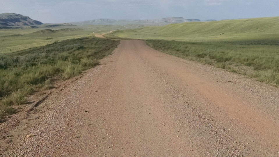
The day starts on improved dirt road with gravel, and stays on that surface. I am near enough to Rawlins to arrive tomorrow, but I have been intending to keep miles/day low for several days, so my body gets in condition for long road-walks.
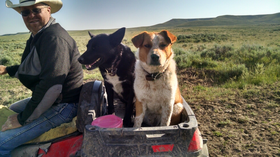
I meet a rancher on an ATV with two helpers.
He shows me where his BLM allotment is, and says he is coming back later on horseback, because his neighbor’s herd is getting close, and he does not want them to mix. He has seen over 10 hikers on this road during the current year.
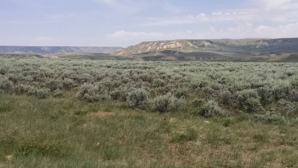
Farther along the road, sagebrush starts to be more common than grass, and hillsides start to have sandy bare spots.
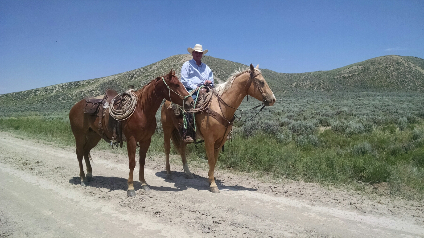
In early afternoon I meet another rancher on horseback, who spent several minutes talking because he was waiting for a horse trailer to arrive.
He was rounding up a stray because one of his fences got cut. He suspects antler hunters, because the state tried an antler shed season on public lands this year.
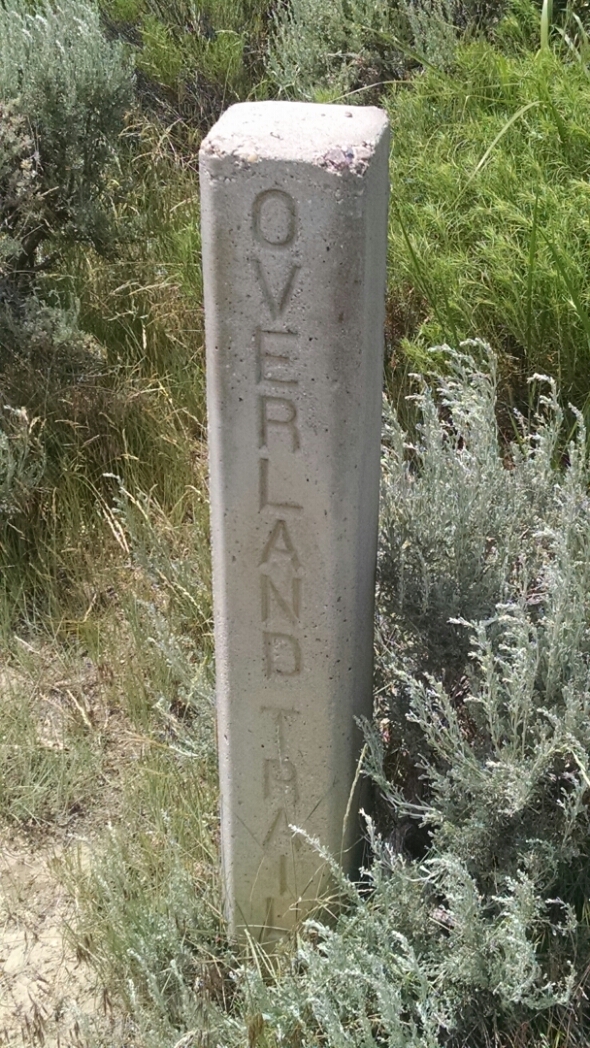
He has several chunks of land between here and Colorado. I asked how BLM allotted parcels, and how they charged for them. We talked about water quality on upcoming trail, and some history. The Overland Stage Coach used to come by here.
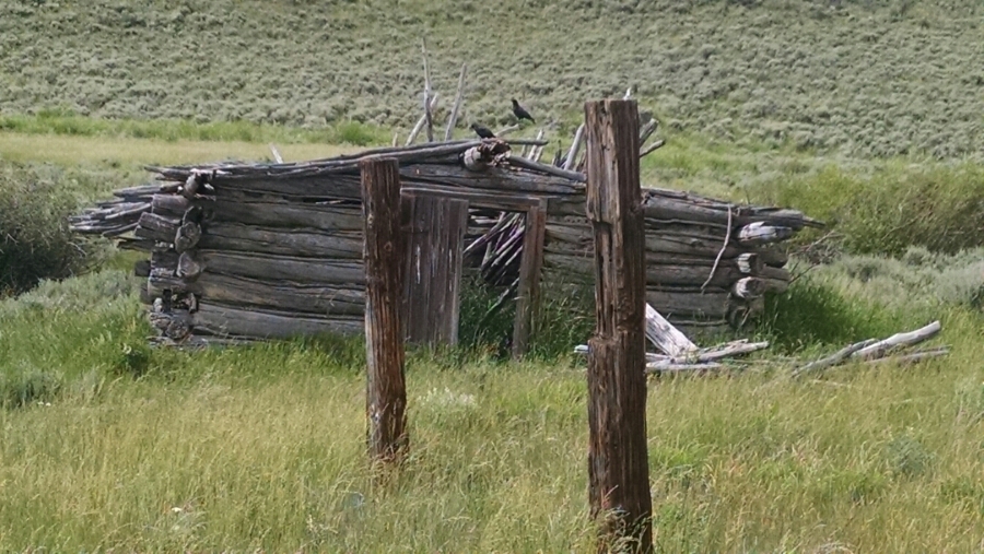
And ruins of Spring Station rest beside a dry spring, unfortunately for me.
Several man-made dirt ponds, known as “tanks”,are on this route, similar to New Mexico. However, tanks here seem to be spring-fed, and in New Mexico they are often filled by water truck, since springs are rare. But it is dry here, and many water sources have dried up that I might use in late afternoon.
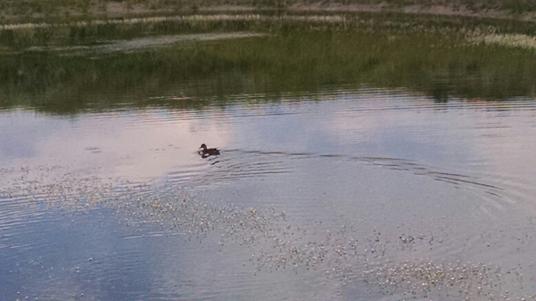
Finally I find a wet tank at 04-265M. Someone got there before me.
The water tastes alkali, so I add a bit of lemonade powder. It helps with taste, but does fake lemonade have acidity the neutralizes the alkali? Leave a comment if you know.
Since I needed to walk longer than planned to get water, I decide to keep going so that I can choose tomorrow when to arrive in Rawlins. The plan is to walk slow today, and not wear out body parts on a long road walk.
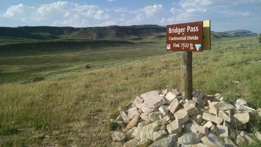
The road goes up Bridger Pass.
Surely there are other Bridger Passes elsewhere?
The view towards Rawlins.
Rawlins is an on-trail town, so no hitching is necessary.
And they might have burgers.
[Finished audio play adaptation of Don Quixote de la Mancha by Cervantes]
