CDT Montana 2016
Day 41, August 15, Monday
Start Red Eagle Lake (Foot) campsite 28-255CG
Stop Reynolds Campsite 28-395XR
Trail miles walked: 14.7
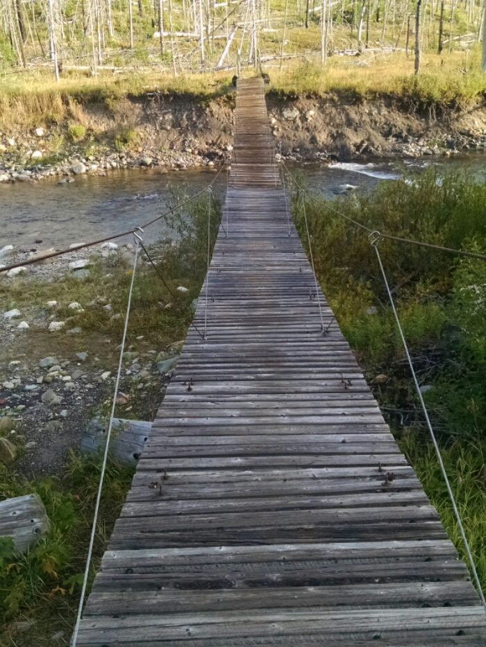
Leaving camp, an even longer suspension bridge awaits.
The trail goes along a burn area for some miles.
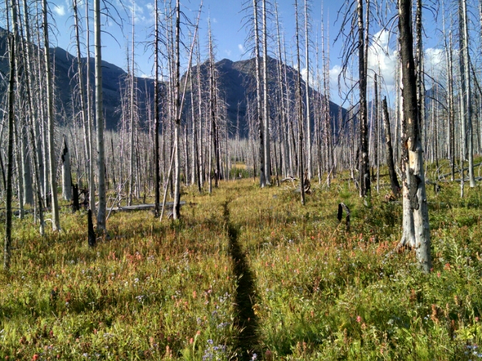
Talking to a ranger yesterday, a burn area from 2006 showed very little carbon, just standing dead trees white from no bark. So a lot of what I earlier thought was beetle-kill may be old burns.
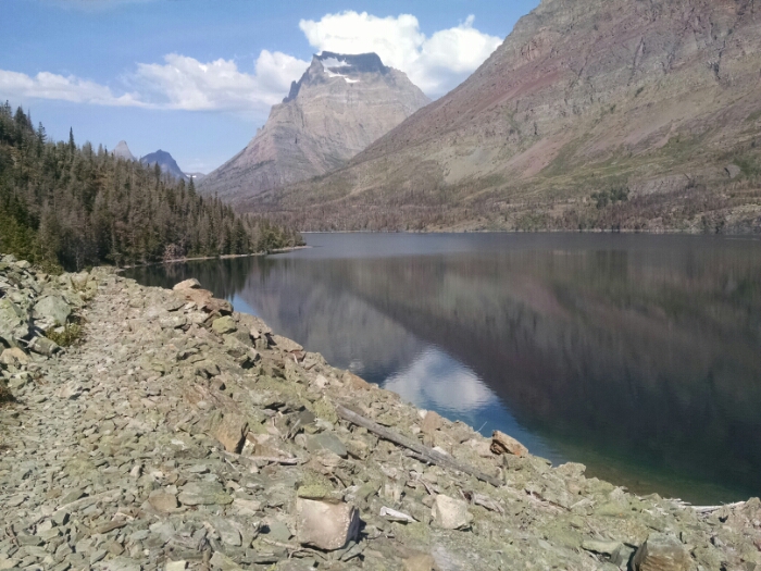
Here is the first look at Saint Mary Lake, which the path follows much of the day.
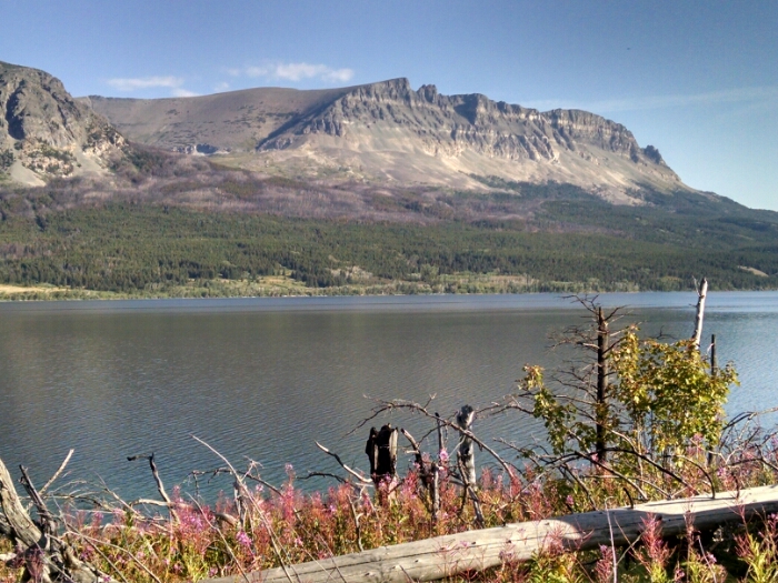
Two peaks, Going-to-the-Sun Mountain on the left, and Goat Mountain on the right, serve as background to the lake.
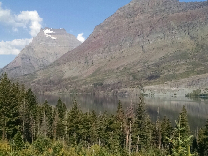
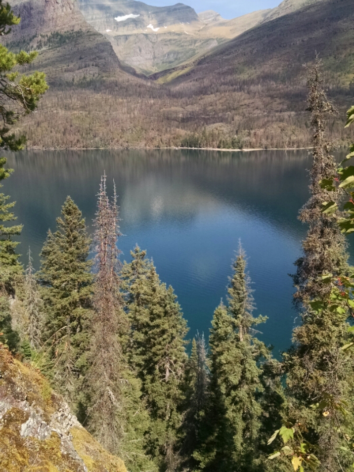
And another angle.
The trail follows the lake edge from fifty feet up to several hundred feet higher, depending on terrain. In this instance we look down at the water from on high.
The camper from Whitefish warned me this trail was less used, thus more likely to be overgrown, and damp summer growth did indeed reach chest high in places.
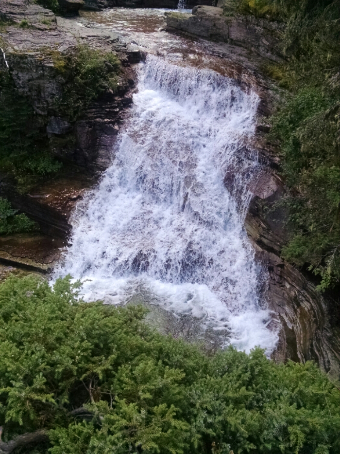
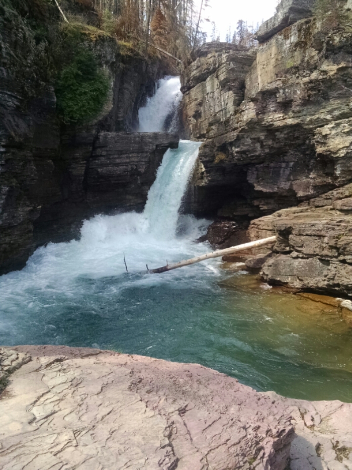
Nearly past the lake, the trail passes a series of falls.
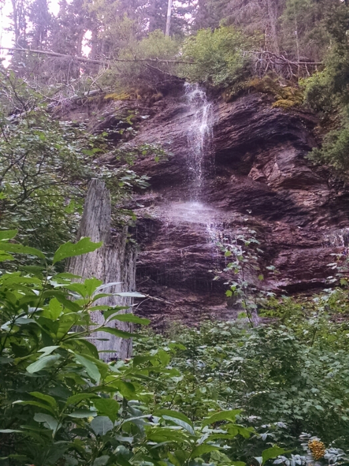
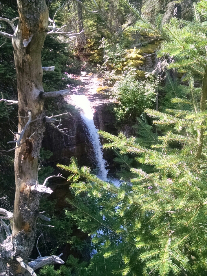
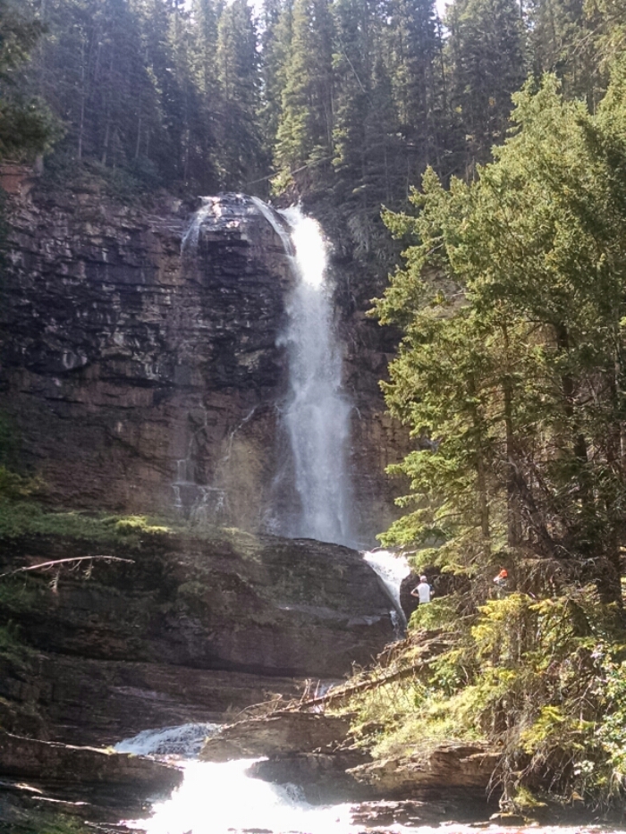
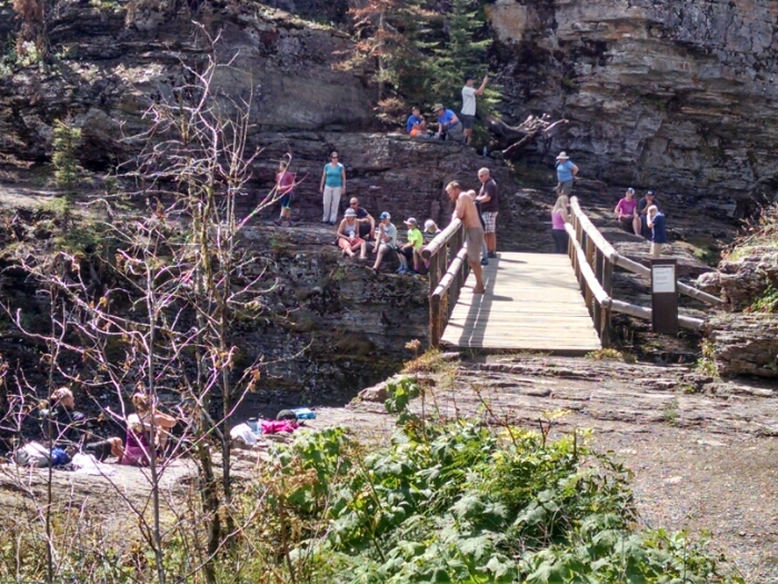
Close to parking, the falls are popular with day hikers.
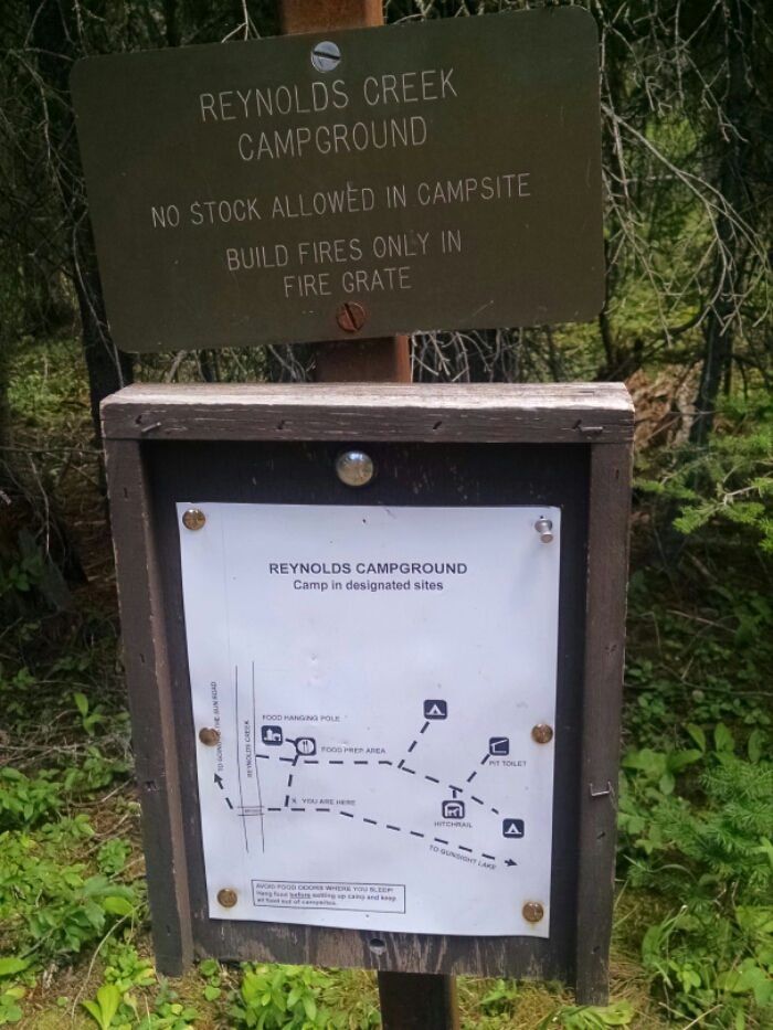
Reynolds is typically used by long distance hikers, since others have a closer access point by car. Often CDT hiker will be routed here, especially north-bounders.
Here is a map of the campsite, which is typical for Glacier Park.
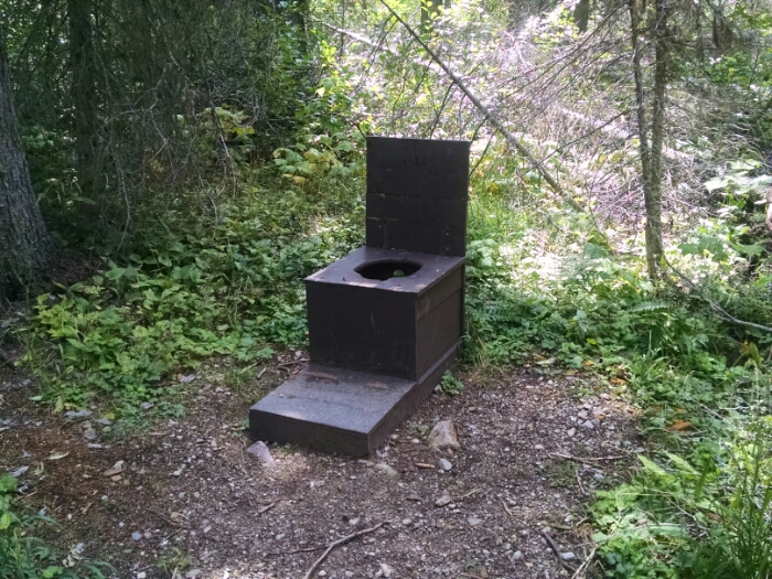
The pit toilet is bare-bones. Toilets at some campsites have outhouse-like privacy.
[finished audiobook, The Heavenfield, Book 4, by Ian G Hulme]