June 25, Monday, Delaware Water Gap PA to primitive camp 0.5 miles before Crater Lake, 19.4
The post office didn’t open until 8:30, so I figured I might be one of the last to leave this comfortable hostel, but several decided to go to the nearby outfitters, which opens at 10– definitely not hiker-friendly hours. A brief thunderstorm and downpour at 7:30– what’s with these storms at odd hours? At the nearby post office got my food AND trekking pole tips, mailed back some minor items. Went back and repackaged food, and tried an equipment experiment. Ever since Harpers Ferry I have been carrying my cell phone in a front pocket, because I grab it frequently to take photos and refer to the e-book version of “Companion”. A shorts pocket is less than optimal for hiking, because the significant weight is moving back and forth with your leg movement, wasting energy and feeling awkward. I had hoped a nearby outfitter might have a case that strapped on a pack strap; alas they did not. Just in case I bought a cheapo camera case at Rite-Aid in Palmerton. So I set out to modify it to fasten on my pack strap, which already had d-rings and straps sewn on for this purpose.

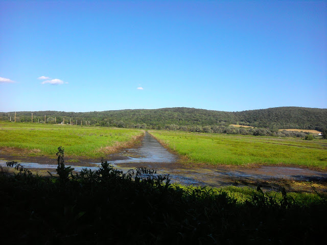
Delaware River Bridge
Finally out by 10AM. Sadly the ice cream shop was closed, or I would have grabbed one last chocolate cone on my way out of Pennsylvania. I met several people on this stretch of trail. Phoenix Rising tried to thru-hike a couple of years ago but had to quit because of Lyme, and wants to complete this year. She is traveling with Angry Bird, on her first section hike. I saw Dog Whisperer (Not DW, this is a woman) who is hiking with two dogs. She stopped to chat when a ranger wanted to meet her dogs. Also met Jaws, who hikes with Big Sky during the day and then Big Sky and Diesel meet back up in the evening. Jaws is working on his master’s degree in aero-astro in Florida, and is using thru-hikers for his human factors design thesis. He has to be finished with The Trail in late August when school resumes.
After a climb we followed a level high ridge with views of water on either side, with lots of high grassland and comfortable forest. After an early social mix, I ended up walking in solitude and beauty most of the day. Peppaboy passed me around the lovely Sunfish Pond. No sign of our other companions from the hostel.

Sunfish Pond
I get to Mohican Outdoor Center at 3PM. I’m scheduled to stop here, but the Trail is really nice today with cooling breezes and no gnats. I take advantage of their snack shop and down a couple of sodas and bag of Doritos, and snag wifi to catch up on e-mail and fill water. I walk for a few more hours, then see a sign near Crater Lake “No camping next 3.5 miles”, realize I cannot get past that zone in time, and backtrack one-half mile to a primitive campsite. Phoenix and Angry Bird mentioned they were only going as far as Mohican. They seem fun, and I may have missed a chance to know them better. Jaws might have stopped there too, and I would like to talk to him more. The Trail beckons, but so do new friends.

Mohican Outdoor Center
June 26, Tuesday, primitive camp 0.5 miles before Crater Lake to Mashipacong Shelter, 17.8
The temperature dropped dramatically overnight. Being only dressed in camp clothes and mummy bag, it was a little hard to stay warm for once. (But now I will be prepared: optionally wearing daytime clothes, double socks, rain jacket, and wind jacket.) Broke camp at 6AM, wondering if I could attempt a twenty-plus day to get to High Point Shelter, one long hiking day from my mail-drop and next hostel in Vernon, New Jersey.
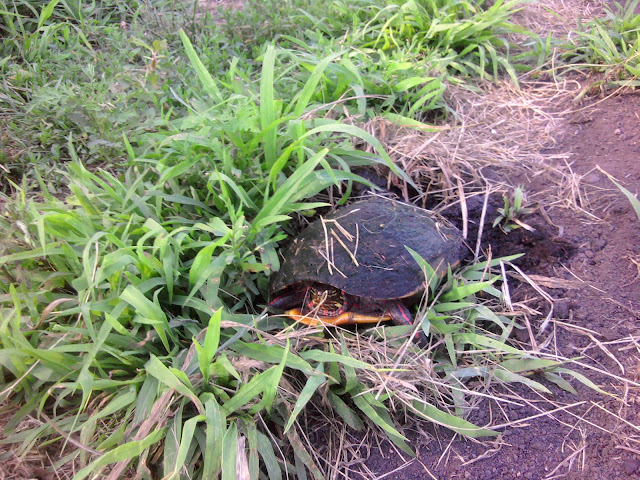
Scored my first known tick around 9:30AM, when one of the large black non-Lyme ones bit me on the shin. He did not have a good hold yet, so I just lightly brushed him off. We are encountering a lot of tall grass that might have been trimmed back in other states. Will need to be extra paranoid during nightly tick checks.

Culver Fire Tower
Got to first water at Brinks Road Shelter around 10AM. The first couple of hours hiking I had to wear the wind shirt, which would normally be too hot to hike in after a few minutes. I am encountering more rocks than expected for this section, but manage to set a pretty fast pace.
In early afternoon my feet begin hurting to a considerable degree, and no other body part is complaining, apart for an unusual degree of tiredness for this time of day.
For this next bit of trail shelters are spaced closely, which is a help. At Gren Anderson Shelter around 2PM I see a note in the journal that Peppaboy had passed by that morning. I did get passed by Frodo, but do not see much sign of my regular thru-hiker bubble during the day.
At 4PM I am really flagging, going much less than 2 miles/hour. I meet a couple of ladies with a huge white dog, and that cheers me up when I stop to take its picture.

Doggie
Finally around 5PM I get to Mashipacong Shelter and know I have to stop for the night. Two other hikers are there. One older gentleman, Smiling Jack, also started at Harpers, but he calculates he is going 50% of my pace. Miles (not really a trail name, but most hikers assume it is, so will be italicized) is three days into a section hike from Maryland to New Hampshire.
During tick check, found another tick hiding in sock, laying in wait for the next time I put it on. Showed it to Miles.
Tomorrow will listen to my body and not push distance. We are not far from a state park that offers free showers and a snack bar. I will gladly rest there, then try to get to a shelter close to town, to maximize my town day.
PS: Strange commotion last night: Miles was tossing and turning through the night, then at one point jumped up and grabbed a flashlight. Later I learn he felt a tick crawling around, and speared it with a ballpoint pen.
PPS: Smiling Jack showed me the evaporative cooling rig for his insulin. Heavy with the water. He said on his AT attempt last year the doctor told him he could stop monitoring after a certain number of days– guessing that by that time he should be considered fit and healthy. But that turned out to cause problems.
June 27, Wednesday, Mashipacong Shelter to Pochuck Shelter, 19.6
Miles and I pass each other off-and-on during the morning, arriving at the same time at Highpoint State Park. The nice woman at park headquarters offered us free sodas, a benefit of “Friends of High Point State Park. We go down to the beach and snack bar area, and for a beautiful immaculately maintained park with water and beach it seemed odd so few people were there yet, but it was mid-week. I waded in the cold clear water, which seemed to benefit my feet quite nicely. While charging (of course), supported the local economy to the tune of an Italian ice, pizza slice, small Doritos, and soda. Smiling Jack came down, and we all chilled until noon.

High Point State Park

Smiling Jack
After an initial rocky climb back to the high point of New Jersey, the Trail led through pastoral fields, old stone property boundary markers, patches of forest, and finally, around 5PM, through a wetlands preserve. Lots of flat trail, few rocks, and I was careful all day not to push speed except for some brief conversations with Miles before he zoomed on.

view of High Point marker
Followed a sign “to well water” which brought me the the “Jim Murray Property”, a lovely little spot that offers a private shelter for hikers. Lots of cool maps on the walls. Met Mac there, who I expect to see later down The Trail.

Jim Murray cabin
My goal was Pochuck Mountain Shelter, about a twenty mile day. Normally after the rough day yesterday that would be unrealistic, yet in this instance I knew about the flat smooth terrain. Smiling Jack and Miles were headed a few miles short of that– Unionville New York, which offered camping and lodging.
Liberty Loop Trail wetlands
Around 4PM, knowing I still had four miles and a couple of hours to go, and hiking alone, I tried listening to a few podcasts during the hike. this seemed to give an extra boost for a moderately long hiking day, helping me to forget any aches and pains for a bit, and I enjoyed it so much I’ll probably put on audio again in late afternoons when I am hiking alone. After three weeks on The Trail I can still appreciate the beauty around me… but not all day.

Pochuck Boardwalk
I arrive at Pochuck to see a large Scout troop section-hiking, from Ohio. Also there in the shelter were Semper Fidelis and another, and Miles showed up, explaining no good camping at Union City. Mac showed up later, and a few guys were tenting or hammocking that I do not know yet.
June 28, Thursday, Pochuck Shelter to Vernon hostel at St. Thomas Episcopal Church, 6.5
Miles and I left the shelter around 6:30AM, for an easy half-day of hiking and rest&relaxation at the hostel. Not so flat as yesterday, and more rocks, but quite bearable for three and a half hours. Miles hikes faster, so we often are out of sight of each other, but I take fewer breaks, so it all evens out.
We pass through a swamp with long boardwalk, another protected refuge. A couple Miles talks with advises him to try the farm stand on the highway to Vernon, and “Companion” concurs. Around 9:30AM we go into the large farm store to support the local economy, and I acquire fresh peaches, cherries, and an ice cream cone.

Heaven Hill Farm
We are just about to start the two mile highway walk into town when a van pulls up to let out a hiker. It is the hostel van. “Would you like a ride into town?” Score!
The hostel is very nice with a computer, WIFI, free laundry, shower, refrigerator for cold drinks, and plenty of comfy chairs. But no bunks and only two cots, so we sleep on the carpet. A television with dvds and cable is provided, and some hikers are glued to the tube, and little conversation takes place near the seductive device– a very different vibe from the social atmosphere at the last hostel.

Hostel at St. Thomas Episcopal Church, Vernon
As other hikers trickle in I notice a lot more older hikers, and hikers who started at Harpers Ferry. Miles and DW are in twenties; older hikers include myself, Dakota Dan, Semper Fidelis, probably Irish Charm and Falling Turtle, … Later Progress and Joiner come to the hostel, increasing the youth percentage. I notice the younger crowd going into the area further from the television– which gives me some hope for the future.
Miles and I go out to a nearby Italian restaurant, and I ask about his grad school work. As an undergrad at a liberal arts college he studied psychology. For grad program he is concentrating in social work, in a program heavy in practical experience. Previously, he had spent two years working for a bicycle touring company. (He biked the Bikecentennial Trail and likely passed by my grandparents house.) He envisions doing social work with teenagers, possibly in challenging neighborhoods. he worked with the Americorps program as a volunteer coordinator. Section hiking the AT adds to his skill set, along with the cycle touring experience, that could be applied to youth programs. Cool.
June 29, Friday, Vernon hostel to Wildcat Shelter NY, 17.1
Through various delays I was not able to get to the trail-head until 9AM. I did get a ride while walking the 2.7 miles back from town to Trail, and I did stop at Heaven Hill stand for another cone to support the local economy.
Immediately hit with a long climb over boulders up Wawayanda Mountain. Already oppressively hot. At Wawayama Shelter, met a trail angel who was stocking fresh water and cookies in the bear-box. His son just finished the Hundred Mile Wilderness in Maine, and he felt like paying forward his gratitude by being an angel for the shelter. His brother had thru-hiked in 1988 (same year I did the southern half of AT), and tells of a terrible heat spell around New York that year. The angel is considering doing the thru-hike next year, and is about my age.
Down, around twisting and winding with no ridges and no views, but some final rocks. Like New Jersey was resisting our leaving.
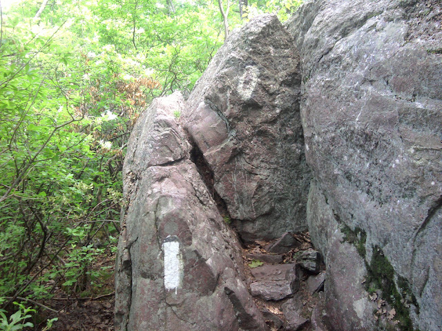
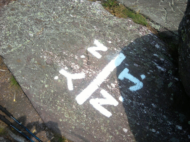
Starting walking a lot on rock, not split into boulders, but smooth flows or glacial layers as outcroppings. Reach the New Jersey-New York line, which is a big lift. Very little water on an extremely hot day on The Trail, and I could wish for more water being carried just-in-case. New York, please have more water sources.
The Trail leads around a veritable maze of rock outcroppings. I see no long distance hikers all day until almost the end of the day. The path goes up a very high rock that gives a view of waterfront properties below, though most of the time the rock offers no view and I am scrambling because of some sadistic trail designer.
My foot slips on a ledge and I bang down on the left knee hard. They can likely hear my yell at the next shelter. A shallow cut right on the knee cap is tricky to bandage. I make butterfly closures out of duct tape, and wrap everything with a tissue paper pad to absorb any blood. Tied with an ace bandage, then knee brace over everything. (Should have carried super glue, often used by emergency rooms to close cuts.)
Now at 4PM I know the shelter and water are at least two hours, maybe more because of all the technical climbing that slows my pace. I’ve encountered no trail landmarks for a while so actual distance is fuzzy. I come upon a blue blaze trail marker (showing a side trail) with a note for me by Miles. He has changed his plans and is going down the blue blaze trail to a lake to cool off. Now I know where I am, and I know someone is thinking about me and keeping me informed.

Miles leaves a note
My spirits boosted, I hike a little faster, knowing that water and yummy treats are a known distance away. G-Bird told me back at 501 Shelter not to miss Bellvale Creamery on a road just before Wildcat Shelter, so I stop for much-appreciated water and a cone. Two cones in one day! I meet two long-distance hikers at the outside picnic table that I saw at the hostel but didn’t get a chance to speak with at the time. Irish Charm and Falling Turtle met thru-hiking last year, and are hiking again this year with some complications like skipping Pennsylvania. He finishes his pint of cherry vanilla ice cream while talking of doing PCT next year.

Bellvale Farms

Falling Turtle and Irish Charm
Refreshed and with enough water for the night, I cruise another hour listening to podcasts. Before now I couldn’t listen because of so much technical climbing, and even now I am lead over a last rock climb before finding the shelter.
The Scouts from Ohio doing a Hundred Miler we met at previous shelter are here. Everyone tents because it is too hot and buggy for shelter. Miles, Progress, and Joiner are already there, and we share conversation, and Neosporin, over dinner.
Related Posts: